Ready to explore this trail?
View Trail Map in AppRegional Classic
A must do route for the area handpicked by local experts.
No permit required. WMNF parking pass required at the Nineteen Mile Brook Trailhead lot. Carter Notch Hut is a paid, reservation-based AMC facility; the trail and ponds are open to all hikers regardless of hut reservations.
Path Type
Loop
This route starts and ends at the Nineteen Mile Brook Trailhead on NH Route 16 in Bean's Purchase, climbing to Carter Dome via Carter Notch and returning by way of Mount Hight and Zeta Pass.
From the trailhead, the Nineteen Mile Brook Trail climbs gradually for 3.4 miles alongside its namesake brook, gaining roughly 1,900 feet through hardwood and mixed forest before leveling out at Carter Notch. The notch holds two small, boulder-rimmed alpine ponds and the AMC's stone Carter Notch Hut, a good rest point roughly two-thirds of the way to the summit.
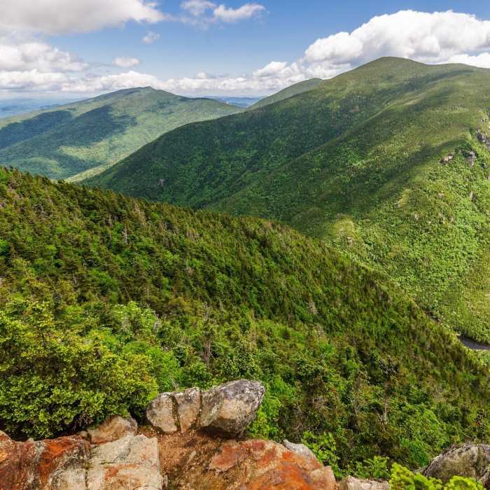
From the hut, turn left onto the Carter-Moriah Trail and begin the route's steepest section: 1.2 miles of rocky, root-laced trail climbing about 1,600 vertical feet through dense spruce-fir forest to Carter Dome's wooded summit.
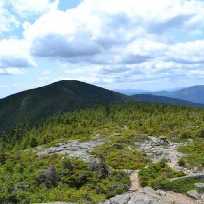
Continuing north, the Carter-Moriah Trail forks: after reaching a fork 0.3 miles from the summit, hikers can bear right to stay on the main trail directly over Mount Hight's open, ledgy summit for the views Carter Dome itself lacks, or bear left onto the Mount Hight Bypass Trail, a short weather-protected alternate that skirts below the exposed summit and rejoins the main trail on the far side. Both options meet up again north of Carter Dome before continuing a short distance to Zeta Pass.
At Zeta Pass, turn left onto the Carter Dome Trail, which descends steadily for 1.7 miles through the forest, following and crossing a small stream and dropping through a series of switchbacks, to rejoin the Nineteen Mile Brook Trail. Turn right and follow the Nineteen Mile Brook Trail the remaining 1.9 miles back to the trailhead.
No Condition Reports
Pinkham Notch to Mount Washington Summit
Pinkham Notch to Mount Washington Summit
Mount Washington via Tuckerman Ravine Trail
Mount Washington via Tuckerman Ravine Trail
Ledge to Pine Mountain Loop
Ledge to Pine Mountain Loop
Mount Madison
Mount Madison
The Presidential Traverse
The Presidential Traverse
Carter Dome Loop via Bog Brook Trail
Carter Dome Loop via Bog Brook Trail
Contributors

