Ready to explore this trail?
View Trail Map in AppNo permit required. WMNF parking pass required at the Wildcat River Trailhead (Prospect Farm) lot. This is a remote, lightly traveled route with no reliable cell service; stream crossings on Bog Brook and the Wild River can be difficult at high water and are not bridged.
Path Type
Loop
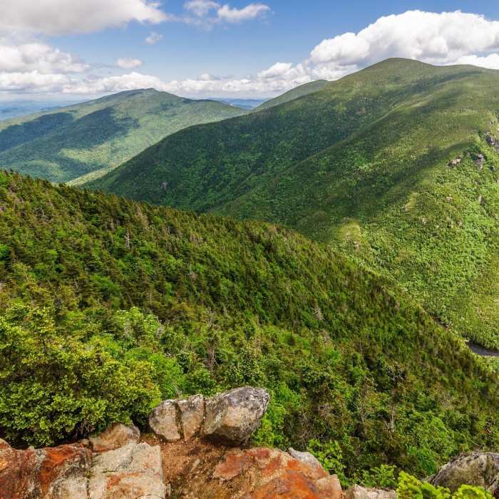
This route starts and ends at the Wildcat River Trailhead (Prospect Farm) in Jackson, New Hampshire, reaching Carter Dome first and returning over Mount Hight.
From the trailhead, follow the Bog Brook Trail northwest along Bog Brook, turning left onto the Wild River Trail at around 0.4 miles, which climbs steadily to meet the Carter-Moriah Trail on the main ridge, roughly 3.8 miles from the start. At the Carter Notch Lodge area, turn right on the Carter-Moriah Trail to reach Carter Dome's wooded summit.
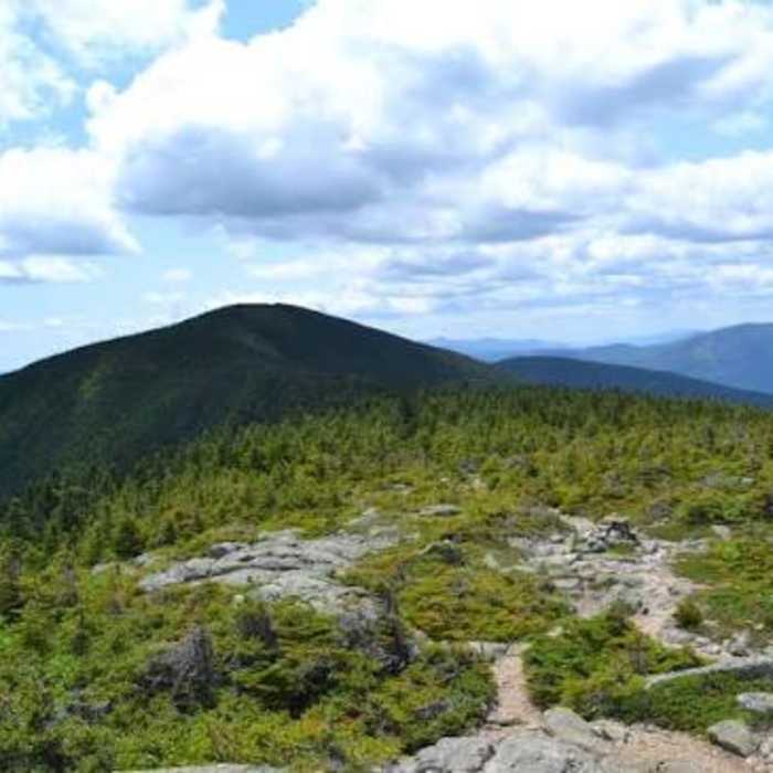
From the summit, turn right onto the Rainbow Trail and descend 2.3 miles, losing about 2,300 vertical feet on a steady, switchback-free grade, passing an open sub-peak with views toward Mount Washington roughly a mile down. At the bottom of the ridgeline near Perkins Notch, turn right onto the Wild River Trail and continue 1.8 miles to junction at 9 miles, where a right turn will take you back to the trailhead along the same trail you started out on.
No Condition Reports
Pinkham Notch to Mount Washington Summit
Pinkham Notch to Mount Washington Summit
Mount Washington via Tuckerman Ravine Trail
Mount Washington via Tuckerman Ravine Trail
Carter Dome Via Nineteen Mile Brook
Carter Dome Via Nineteen Mile Brook
Lakes of the Clouds Hut + Mount Washington
Lakes of the Clouds Hut + Mount Washington
Arethusa Falls Frankenstein Cliff Loop
Arethusa Falls Frankenstein Cliff Loop
Arethusa Falls Out and Back
Arethusa Falls Out and Back
Contributors

