

Ready to explore this trail?
View Trail Map in AppPath Type
Point to Point
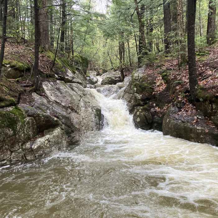
This trail starts from a small trailhead, that's difficult to see. It travels for approximately 0.7 miles before entering the White Mountain National Forest. It travels a bit further before reaching a short spur to Brickett Falls. The trail mostly parallels Mill Brook, before reaching the switchbacks.
After the last stream, just above Upper Mill Brook Falls, the trail travels through Bean's Purchase in Coos County. The trail climbs up to the Meader Ridge Trail and Basin Rim Trail. It's unclear which is the true summit of Mount Meader; it's either here at the junction or west off Meader Ridge Trail.
Some Issues
Looking for more condition reports?
Caribou Mountain Loop
Caribou Mountain Loop
Carter Dome Loop via Bog Brook Trail
Carter Dome Loop via Bog Brook Trail
Caribou Mountain via Bog Brook
Caribou Mountain via Bog Brook
Carter Dome Via Nineteen Mile Brook
Carter Dome Via Nineteen Mile Brook
Gentian Pond Out and Back
Gentian Pond Out and Back
Contributors

