

Ready to explore this trail?
View Trail Map in AppPath Type
There and Back
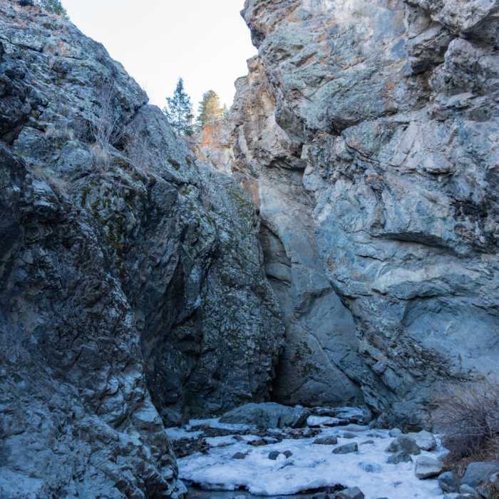
The Zapata Falls Trail is a short, out-and-back hike leading to a 30-foot waterfall sheltered within a narrow rock cavern. Starting from the trailhead at the base of the Sangre de Cristo Mountains, the wide, rocky path climbs gently through pinon-juniper woodland. Along the route, hikers can enjoy panoramic views of the San Luis Valley and the nearby Great Sand Dunes National Park and Preserve.
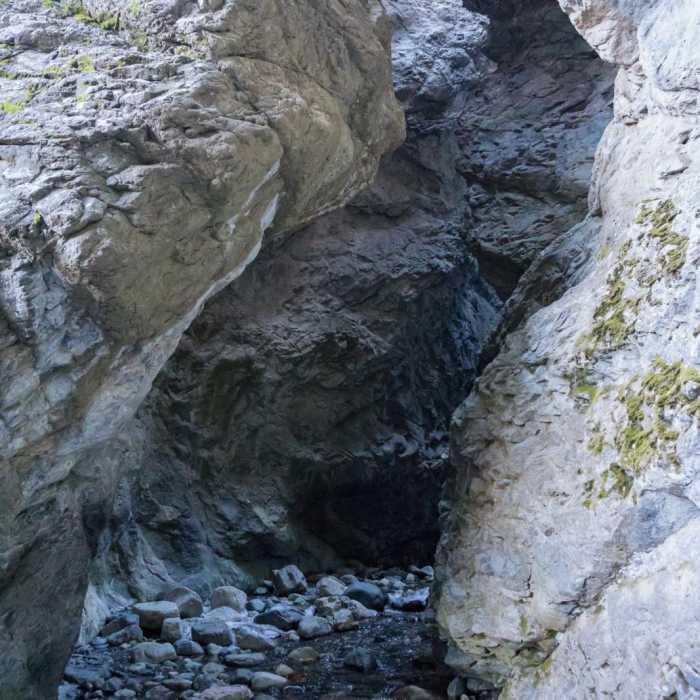
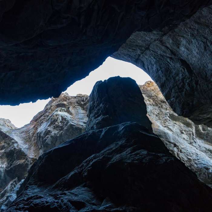
To view the waterfall itself, hikers must leave the developed trail at South Zapata Creek and wade upstream through the chilly water into a dark, rocky chasm. This segment requires navigating slippery, wet rocks and stepping into water that is cold year-round. During the late spring and early summer, high snowmelt runoff makes the creek deep and swift. In the winter, the waterfall transforms into a massive column of blue ice, attracting winter hikers and ice climbers.
No Condition Reports
Ellingwood Point North Ridge via South Zapata Creek
Ellingwood Point North Ridge via South Zapata Creek
Tour de Little Bear
Tour de Little Bear
Mount Lindsey Northwest Gully
Mount Lindsey Northwest Gully
Mount Lindsey Northwest Ridge
Mount Lindsey Northwest Ridge
Ellingwood Point South Face
Ellingwood Point South Face
Little Bear Peak West Ridge and Hourglass
Little Bear Peak West Ridge and Hourglass
Contributors

