Ready to explore this trail?
View Trail Map in AppRegional Classic
A must do route for the area handpicked by local experts.
No permit is required for day hiking, but the trailhead access road is gated; nearby Zapata Falls Campground requires a separate reservation via recreation.gov if camping.
Path Type
There and Back
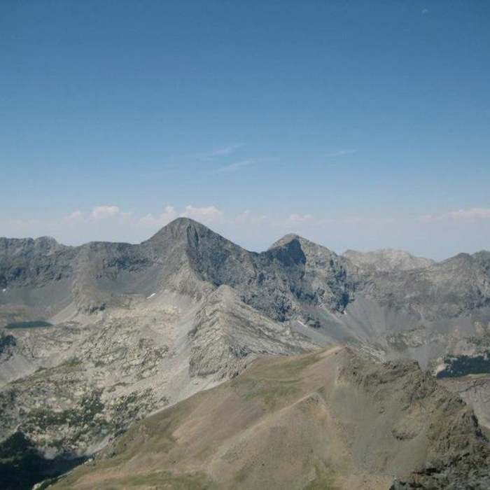
The route begins and ends at the Zapata Falls trailhead and reaches Ellingwood Point's 14,057' summit.
From the trailhead, follow the old double-track 0.4 miles toward Zapata Falls, then turn right onto the South Zapata Lake Trail as it switchbacks up onto the ridge south of Zapata Creek. Cross the creek at 1.2 miles, then climb a series of steep switchbacks high above it before the grade eases onto a wide shelf. Cross California Gulch at 2.3 miles, then descend about 160 feet over the next 0.1 mile to a crossing of the North Fork of South Zapata Creek. Climb again for 1.3 miles to timberline, cross to the creek's west side at 3.75 miles, and continue a quarter mile to reach South Zapata Lake at 4.8 miles, below Ellingwood's 1,200-foot north face.
NOTE: Just left of the C2 Couloir (below), this gully looks tempting since it gains the West Ridge at its lowest point. Do not climb or descend it — it's steep and dangerous whether snow-filled (icy) or dry (hard-packed scree).
From the lake's outlet, two options lead to Ellingwood's West Ridge:
OPTION 1 — C2 Couloir: Head left around a rock glacier to the base of the couloir's talus cone, then climb up, favoring more solid rock along the right side. Near the top, the gully narrows and forks: stay right. The left branch has no good handholds and steep, poor-footing dirt; the right branch stays on easier rock and pops out onto the West Ridge.
OPTION 2 — C3 Gully (preferred if C2 is snow-filled): From the lake's outlet, head right/southwest up grassy ledges, benches, and talus-filled gullies to the upper basin and a small tarn below the C3 Gully. Climb the gully (a use trail helps for much of it) to reach the West Ridge farther west. Climb onto the ridge crest and follow it over several bumps to the top of the C2 Couloir.
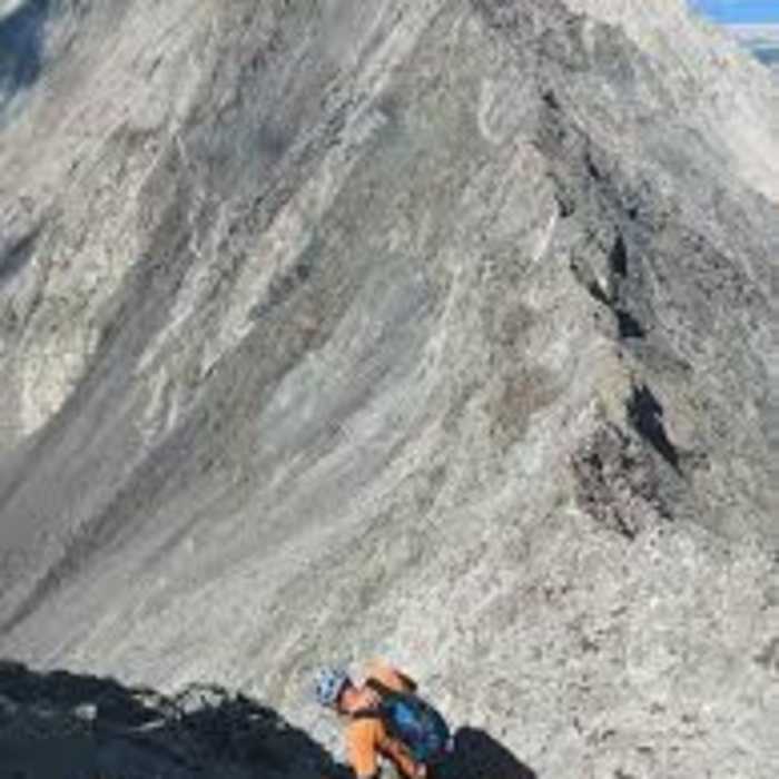
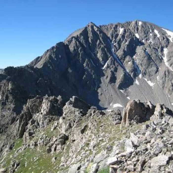
From the top of the C2 Couloir (via either option), climb steep talus along the West Ridge to gain Ellingwood's North Ridge. The North Ridge has a dramatic precipice on its east side, but ample talus keeps the route on the west side except for the final approach.
Crux: The last 100 feet below the summit ridge involve easy Class 3 climbing to reach Ellingwood's southwest ridge. Turn left and scramble Class 2/3 rock about 50 feet to the true summit.
Return the way you came, descending the same couloir or gully — or, with time, energy, and settled weather, continue the traverse to Blanca Peak, keeping in mind you must climb back over Ellingwood's summit and descend the C2 or C3 line either way.
No Condition Reports
Zapata Falls
Zapata Falls
Tour de Little Bear
Tour de Little Bear
Mount Lindsey Northwest Gully
Mount Lindsey Northwest Gully
Mount Lindsey Northwest Ridge
Mount Lindsey Northwest Ridge
Ellingwood Point South Face
Ellingwood Point South Face
Little Bear Peak West Ridge and Hourglass
Little Bear Peak West Ridge and Hourglass
Contributors

