


Ready to explore this trail?
View Trail Map in AppNo permit required. Lake Como Road to this point is rated a 6 out of 6 for difficulty — plan to walk on foot for most of this approach. Most vehicles park by 8,800' at the national forest boundary. Only heavily modified 4WD rigs reaching past 10,000' or Lake Como itself at 11,750'.
Path Type
Loop
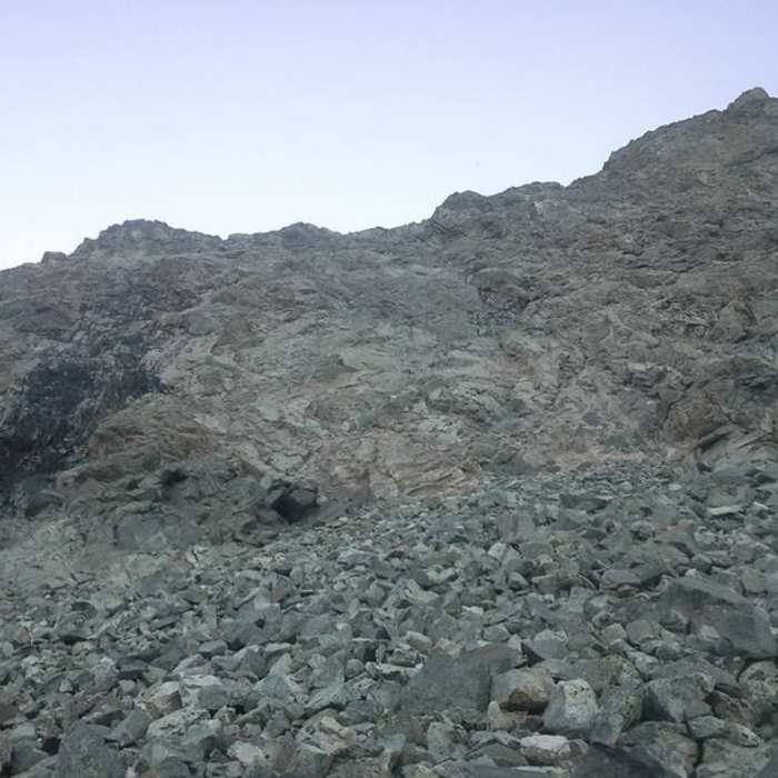
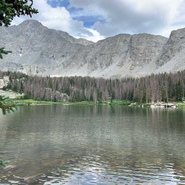
This challenging and high-risk route begins at the end of Lake Como Road near Lake Como, following a flat trail north of the lake. The trail wraps around the east side of Lake Como before heading uphill into a forested area. After exiting the trees in about 0.5 miles, a gravel path continues until Little Bear Peak becomes visible on the right. After passing the gully for the standard route, the path continues another couple hundred yards along a talus field to a black rock formation approximately 30 feet high, known as the Black Hand.
Crossing a stream leads onto the talus field. The route crosses approximately 330 feet of talus, gaining roughly 300 vertical feet before reaching solid rock where scrambling begins. Staying to the right of the Black Hand keeps the scramble primarily at Class 4, though poor route-finding can lead to low Class 5 moves. Above the Black Hand, the route angles slightly left into a broad, shallow gully with Class 3 to 4 scrambling. Water often pools in this gully and can freeze into ice due to low sunlight.
Above 13,000 feet, the terrain becomes extremely steep, requiring careful route-finding to maintain a Class 4 rating with significant exposure. At approximately 13,800 feet, the route reaches the Little Bear summit ridge. To the left is the Class 5 Little Bear-to-Blanca traverse, while the summit of Little Bear Peak is to the right. Scrambling up solid rock slabs leads to the summit at over 14,000 feet, which offers views of Blanca Peak, Ellingwood Point, the Great Sand Dunes, and South Little Bear.
The descent utilizes the standard route of Little Bear Peak, descending through the steep gully known as the Hourglass. From the summit, the route heads southwest down shale-covered rock slabs into the Hourglass gully. This narrow gully is 200 to 300 feet long and features large, steep rock steps. Due to the severe hazard of rockfall, only one climber should descend the gully at a time. A fixed rope is sometimes attached to a boulder at the top of the Hourglass, but its condition and reliability cannot be guaranteed. Ice is also common within this gully.
From the bottom of the Hourglass, the route heads west on relatively flat talus just south of a prominent rib, reaching a notch in the rib at approximately 12,800 feet. A clear Class 2+ talus gully with loose rock leads down to 12,000 feet. After crossing a stream, the route rejoins the main trail to return to the starting point near Lake Como.
The Blanca Group (Little Bear Peak, Ellingwood Point, Blanca Peak) is one of the most unique massifs in Colorado. Rising thousands of feet above a flat alpine desert in the southernmost reaches of the state, the drive to this area is otherworldly.
No Condition Reports
Ellingwood Point South Face
Ellingwood Point South Face
Little Bear Peak West Ridge and Hourglass
Little Bear Peak West Ridge and Hourglass
Blanca Peak Northwest Ridge
Blanca Peak Northwest Ridge
Blanca and Ellingwood Combo
Blanca and Ellingwood Combo
Little Bear and Blanca Traverse
Little Bear and Blanca Traverse
Ellingwood Point Southwest Ridge
Ellingwood Point Southwest Ridge
Contributors

