Ready to explore this trail?
View Trail Map in AppRegional Classic
A must do route for the area handpicked by local experts.
A signed waiver is mandatory before hiking Mount Lindsey from this point, completed in advance at mountlindseywaiver.com or on-site via a posted QR code. Access is restricted to the designated ridge or gully route only; camping, hunting, motorized vehicles, and drones are prohibited on the surrounding private ranch land. The access road is rough, narrow, and crosses private property — stay on the road and respect closed gates.
Path Type
There and Back
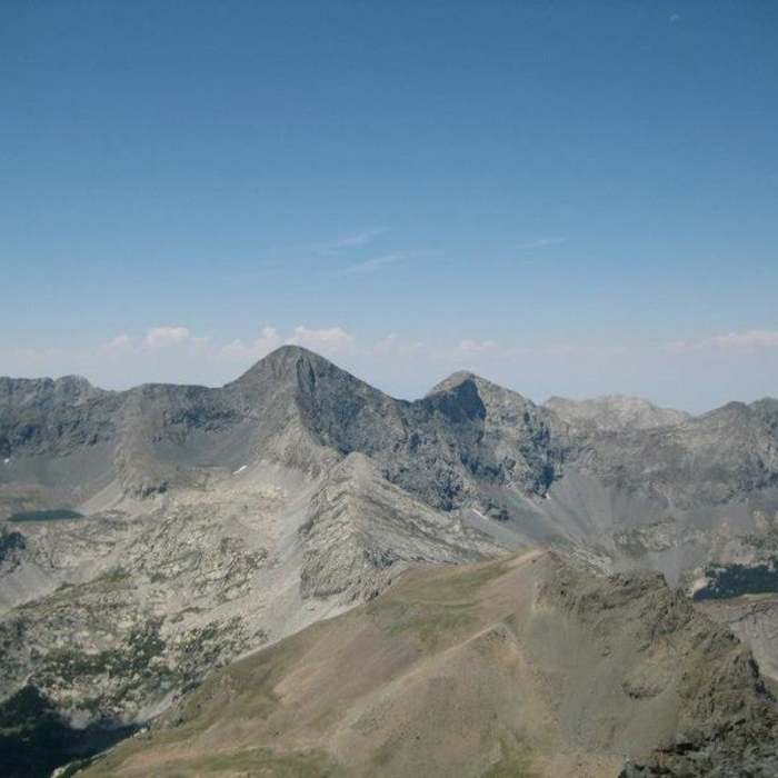
The route starts and ends at the Huerfano/Lily Lake trailhead and reaches at Mount Lindsey's 14,055' summit.
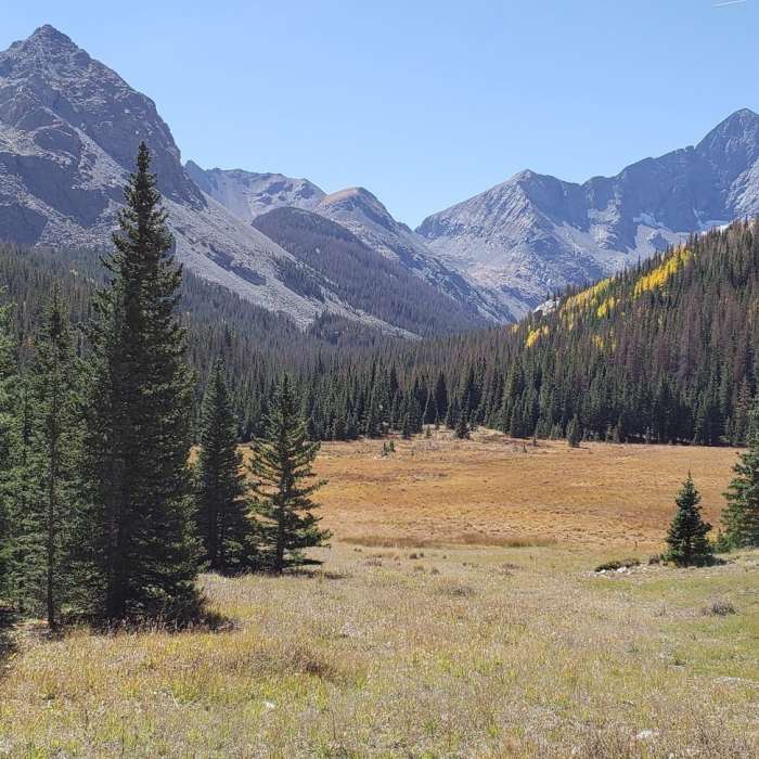
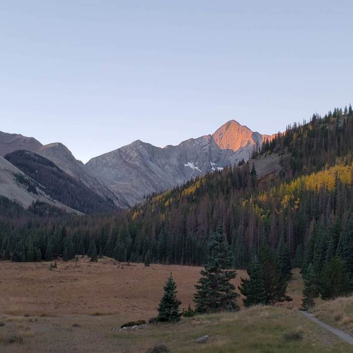
From the trailhead, follow the Lily Lake Trail south through trees into a large meadow. At 1 mile, continue straight where the Lily Lake Trail splits right, and cross the Huerfano River about 100 yards later — there is no bridge. About 0.1 mile past the crossing, the trail climbs left away from the river and zigzags through forest to a boulder field near 10,800'.
Climb about 600 vertical feet along the boulder field's right side to a gully/stream near 11,400', follow its left side, and cross near 11,600'. Continue south to timberline around 12,000', with Mount Lindsey visible across a high basin. Drop slightly, cross toward the basin's east side, climb to 12,200', then follow a small ridge to a 13,000' crest. The route crosses private property from here; navigate a boulder field to the 13,150' saddle between Iron Nipple and Mount Lindsey.
Follow the ridge southeast to 13,200', then traverse east toward the base of the northwest gully.
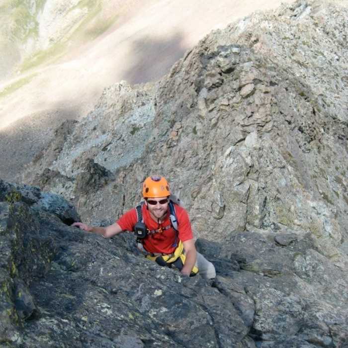
Crux: The gully is steep and loose; stay along its more stable right/upper edge and avoid dislodging rock onto climbers below. Narrow sections near the top (about 13,600') may require easy Class 3 moves once snow has melted out. Pass through a notch at the top and traverse east across shallow gullies to the summit ridge near 14,000' — or, from the notch, angled Class 3 slabs to the right offer a more direct line.
Hike southeast 0.2 miles to the summit. Retrace the route to descend, taking extra care in the loose gully.
Prior to 1954, Mt. Lindsey was known as "Old Baldy." Its namesake was Malcolm Lindsey, a popular Colorado Club youth chaperone.
No Condition Reports
Mount Lindsey Northwest Ridge
Mount Lindsey Northwest Ridge
Tour de Little Bear
Tour de Little Bear
Zapata Falls
Zapata Falls
Ellingwood Point North Ridge via South Zapata Creek
Ellingwood Point North Ridge via South Zapata Creek
Ellingwood Point South Face
Ellingwood Point South Face
Little Bear Peak West Ridge and Hourglass
Little Bear Peak West Ridge and Hourglass
Contributors

