
Ready to explore this trail?
View Trail Map in AppRegional Classic
A must do route for the area handpicked by local experts.
No permit is required. The final miles of the access road are rough and require high-clearance; the lot fills early on weekends, with overflow parking 0.1 mile past the trailhead.
Descend the same trail that you climbed--the out-and-back route shown here. This requires climbing back up to Shavano from Tabeguache Peak. Some people try to descend an alternate route off of Tabeguache, but it's common to get cliffed out in this zone.
Path Type
There and Back
The route begins and ends at the Shavano/Tabeguache trailhead, at 9,750 feet, and reaches the summit of Tabeguache Peak for a round trip of about 11.5 miles.
From the trailhead, follow the trail 0.1 miles to a junction and turn right onto the Colorado Trail. After 0.25 miles, turn left onto the Mount Shavano trail. Follow it north then west, switchbacking to a flat area above 10,700 feet. Cross a stream near 10,900 feet and continue to a corner near 11,200 feet; turn right and follow a small ridge east then northwest to treeline near 11,800 feet.
Exit the trees and traverse west across Shavano's open southeast slopes to the saddle at 13,350 feet, where the final pitch comes into view. Cross the saddle and climb the last 700 feet along the ridge's left side, following the best-defined of several braided trail segments, to the summit of Mount Shavano at 4.75 miles.
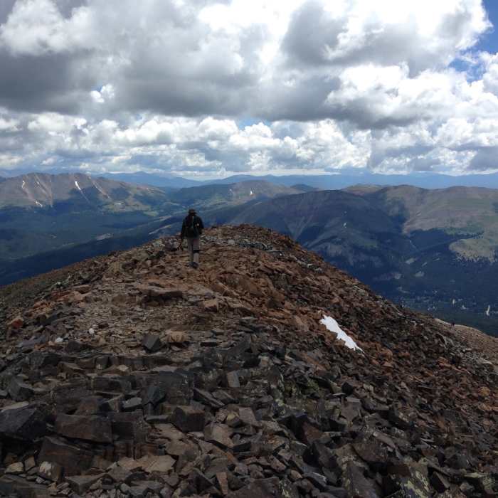
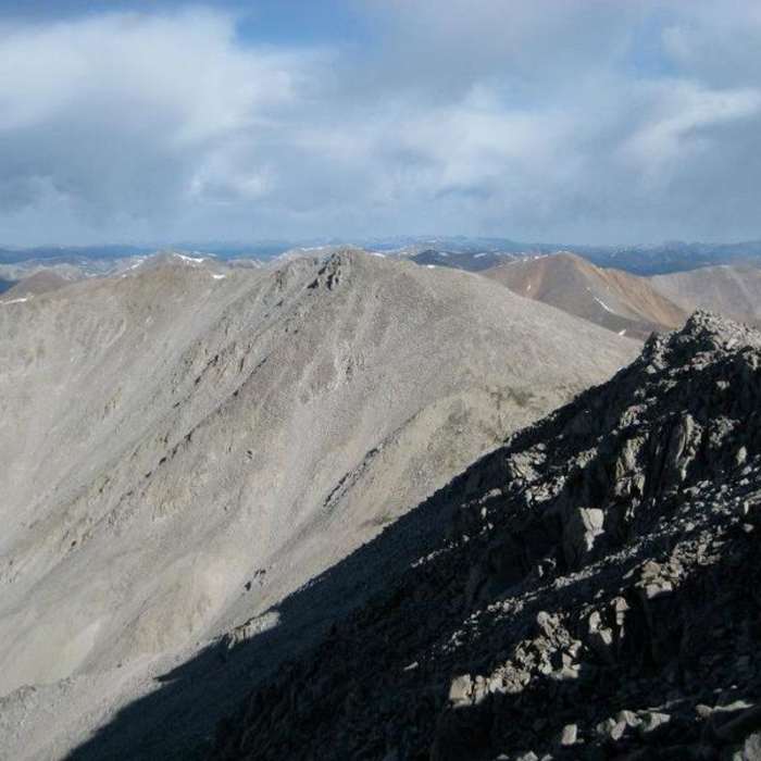
From Shavano's summit, Tabeguache Peak is visible to the northwest. Descend Shavano's long, rocky summit ridge for about 0.6 miles of Class 2 terrain, losing 600 vertical feet, to the broad saddle connecting the two peaks at 13,700 feet. Cross the saddle and climb Tabeguache's east ridge on thinning trail segments across stable talus; if the trail disappears, continue directly up the ridge. Gain the final 500 feet to the summit.
Crux: check weather before committing to the traverse — the only reasonable return is back over Shavano's summit, so worsening conditions here means retracing the full route.
Return by reversing the route, including a 600-foot re-climb back over Shavano's ridge before the long descent.
From Shavano's summit, Tabeguache Peak is visible to the northwest. Descend Shavano's long, rocky summit ridge in that direction, losing 600 vertical feet over 0.6 mile of Class 2 terrain to a broad saddle at 13,700'.
Descend the same route, and the way down from Mount Shavano, take care not to drop directly south toward the saddle with "Esprit Point."
No Condition Reports
Mount Shavano East Slopes
Mount Shavano East Slopes
Tabegauche Peak West Ridge
Tabegauche Peak West Ridge
Colorado Trail: Segment 15
Colorado Trail: Segment 15
Fooses Creek Loop
Fooses Creek Loop
Browns Creek Falls
Browns Creek Falls
Browns Lake
Browns Lake
Contributors

