
Ready to explore this trail?
View Trail Map in AppRegional Classic
A must do route for the area handpicked by local experts.
No permit is required. The final miles of the access road are rough and require high-clearance; the lot fills early on weekends, with overflow parking 0.1 mile past the trailhead.
Path Type
There and Back
The route begins and ends at Shavano/Tabeguache Trailhead (9,750') and reaches the summit of Mount Shavano (14,229').
From the trailhead, follow the trail 0.1 mile to a junction and turn right onto the Colorado Trail. At 0.25 miles, turn left onto the Mount Shavano Trail. Follow a wide, rocky stretch briefly, then turn right onto the well-defined Shavano Trail, heading north then west.
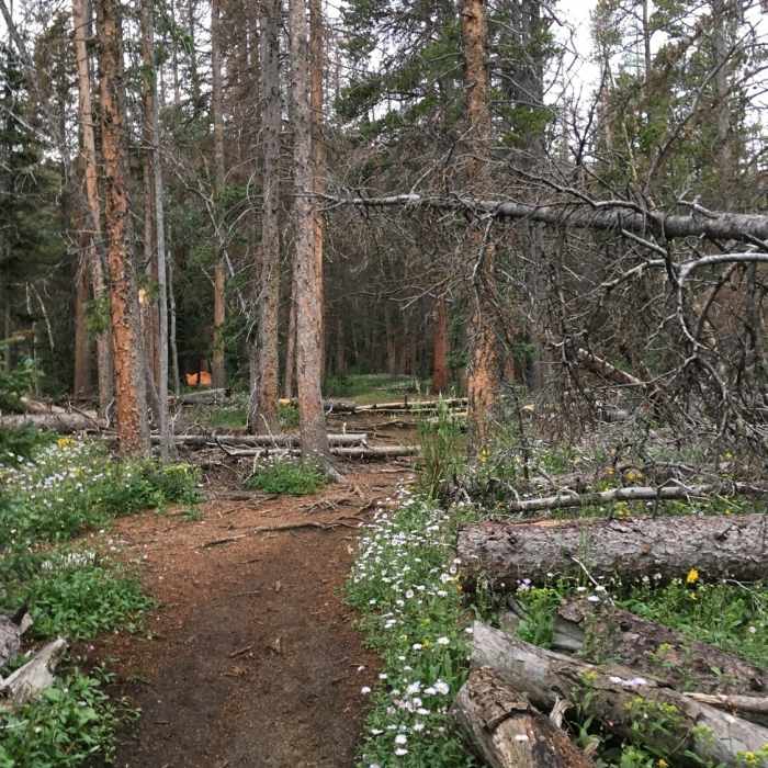
Around 1.8 miles, at about 10,600', follow the trail to the right and traverse a hillside around a corner to flatter ground near 2.0 miles. Continue northwest, cross a small stream, and climb past a notable rock near 10,950' to a corner at 11,200' — 2.5 miles in, the halfway point. Turn right and climb on a series of log steps. At 11,800', around 3.0 miles, the trail turns southwest approaching timberline, then exits the trees to traverse west along Shavano's southeast slopes.
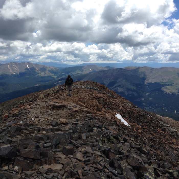
Near 12,650', around 3.6 miles, reach rock stairs marking the start of a newer trail built by the Colorado Fourteeners Initiative. Zigzag 700 vertical feet up a rocky slope; the climb relents at 13,400' with the summit in view. Continue west below a saddle toward the final pitch. At 13,600' the trail steepens.
Crux: near 13,800', reroute work may leave the constructed trail ending abruptly; older use-trail sections continue up the rocky terrain to the ridge crest. Note this spot for your descent.
From the ridge crest, continue slightly right, then turn left to gain the summit after 4.8 miles.
Descend the same route, taking care not to drop directly south toward the saddle with "Esprit Point."
Mt. Shavano known for the aptly named "Angel of Shavano," a popular spring snow climbing route on its east face. The angel has a unique appearance, and, during years of high snowfall, often persists well into July.
No Condition Reports
Tabeguache Peak via Mt. Shavano
Tabeguache Peak via Mt. Shavano
Tabegauche Peak West Ridge
Tabegauche Peak West Ridge
Colorado Trail: Segment 15
Colorado Trail: Segment 15
Fooses Creek Loop
Fooses Creek Loop
Browns Creek Falls
Browns Creek Falls
Browns Lake
Browns Lake
Contributors

