



Ready to explore this trail?
View Trail Map in AppPath Type
Loop
Fooses Creek Loop is an approximately 21.1-mile loop route through dense pine forests, flowing creeks, and flower-filled alpine meadows. This multi-use trail is popular for hiking, backpacking, trail running, mountain biking, and horseback riding. The route consists primarily of singletrack with some dirt road segments, presenting a moderate challenge with a few short, steep climbs.
The adventure begins at the Fooses Creek Trailhead, located west of Salida off Highway 50. The path follows the Colorado Trail along Forest Road 225, passing Fooses Dam and heading into the Fooses Creek drainage. At the fork of the trail and creek, the route continues along the Colorado Trail beside South Fooses Creek, beginning a steady climb up to the Continental Divide.
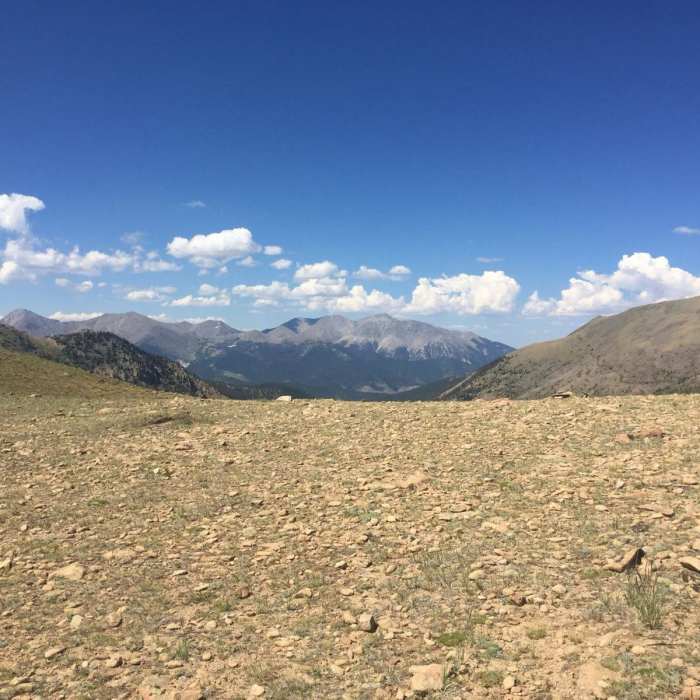
Upon reaching the crest of the Sawatch Mountains, the route turns northwest, following the Continental Divide National Scenic Trail toward Monarch Pass. Traversing this high-altitude section above the treeline provides panoramic views of the surrounding Rocky Mountains. Near Monarch Pass, hikers can make a short detour to the Monarch Crest Store for amenities, or continue northeast along the North Fooses Creek Trail to complete the loop back to the trailhead.
No Condition Reports
Colorado Trail: Segment 15
Colorado Trail: Segment 15
Green's Creek Out-and-Back
Green's Creek Out-and-Back
Colorado Trail: Collegiate West Segment 5
Colorado Trail: Collegiate West Segment 5
Tabegauche Peak West Ridge
Tabegauche Peak West Ridge
Mount Shavano East Slopes
Mount Shavano East Slopes
Tabeguache Peak via Mt. Shavano
Tabeguache Peak via Mt. Shavano
Contributors

