Ready to explore this trail?
View Trail Map in AppRegional Classic
A must do route for the area handpicked by local experts.
No permits or fees are required for day use.
The Silver Creek Trailhead is accessed via County Road 30 (Alpine Loop), which is rough and typically requires a high-clearance vehicle. Four-wheel drive may be necessary depending on road conditions.
Path Type
There and Back
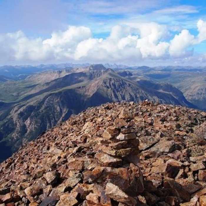
This route begins and ends at the Silver Creek Trailhead after reaching the 14,004' summit of Sunshine Peak.
Start on the main Silver Creek Trail, climbing through the forest. At 1.6 miles from the trailhead, turn right to head south. The creek crossing is marked by a cairn. Once across Silver Creek, follow a faint trail. Continue to follow the South Fork of Silver Creek through the woods past the ruins of an old mining cabin.
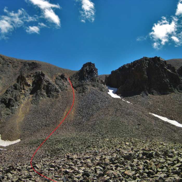
Around 2.3 miles, exit the treeline near 11,900' onto a grassy shelf. Continue up the basin, navigating rough talus and a rock glacier starting around 2.9 miles and 12,300'. Around 3.3 miles, reach a series of steep gullies. The main gully is on the left side of a prominent gendarme - aim for the main gully to ascend the loose scree ridge.
Crux: The steep, scree-filled gully at ~12,850', left of the prominent gendarme at the end of the South Fork basin. Loose scree throughout makes footing unreliable and rockfall risk considerable — if climbing with a partner, move through the gully one at a time. On descent, locating the correct gully is the route's most dangerous navigation point, as multiple gullies look plausible from the west ridge but lead to dangerously loose terrain. Memorize the gully's location on the way up, or take note from the west ridge before descending.
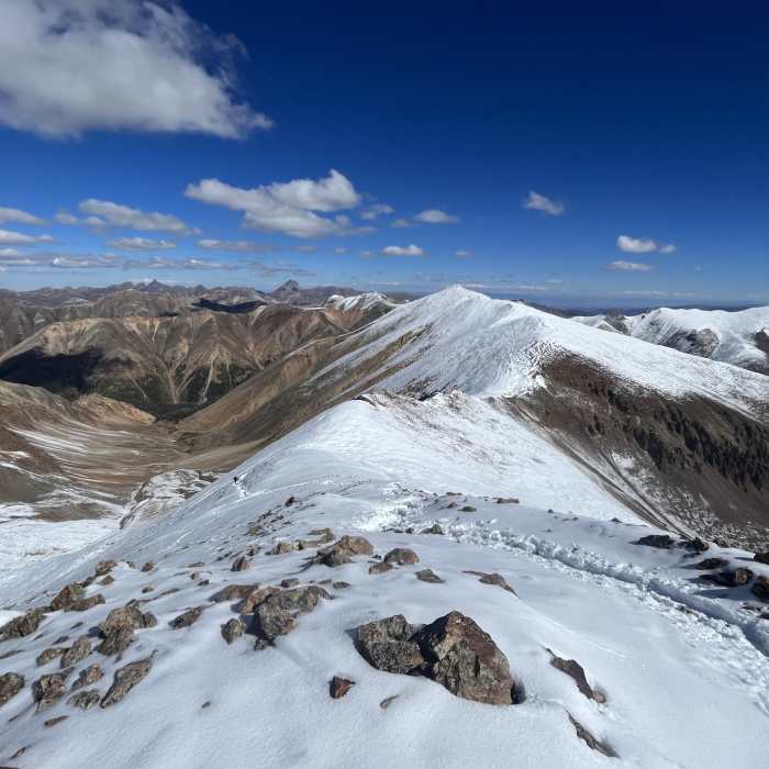
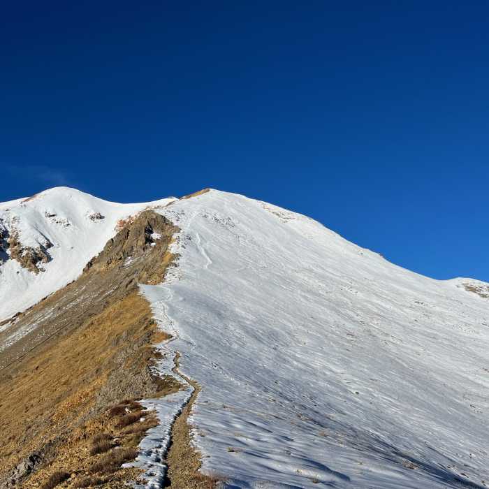
Once on the wide shoulder, head south to locate the faint trail on the west ridge of Sunshine Peak. Climb the final steep class-2 switchbacks to reach the summit.
Carefully retrace your steps for the return journey.
No Condition Reports
Sunshine Peak via Redcloud Peak
Sunshine Peak via Redcloud Peak
Redcloud Peak
Redcloud Peak
Redcloud Peak + Sunshine Peak Loop
Redcloud Peak + Sunshine Peak Loop
Handies Peak East Slopes
Handies Peak East Slopes
Handies Peak Southwest Slopes
Handies Peak Southwest Slopes
Sunshine Peak East Ridge
Sunshine Peak East Ridge
Contributors

