Ready to explore this trail?
View Trail Map in AppRegional Classic
A must do route for the area handpicked by local experts.
No permits or fees are required to hike Handies Peak or park at the Silver Creek/Grizzly Gulch Trailhead.
The trailhead is located on Hinsdale County Road 30, which is typically open to vehicles from late May through October. The road is passable for standard two-wheel-drive passenger vehicles, though high clearance is recommended.
Path Type
There and Back
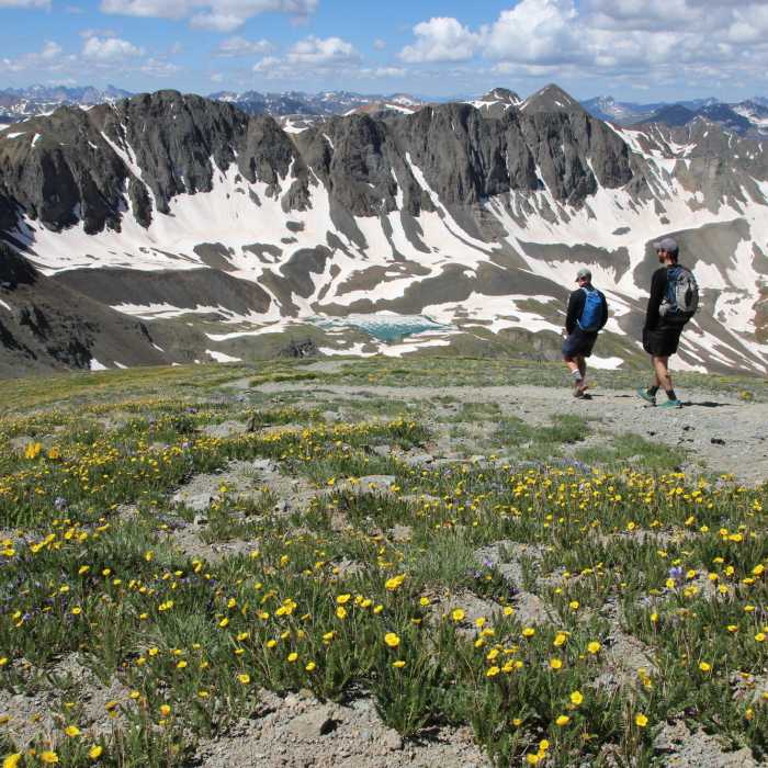
This route begins and ends at the Silver Creek/Grizzly Gulch Trailhead after climbing to the 14,058' summit of Handies Peak.
Start by crossing the bridge over the Lake Fork of the Gunnison River and follow the trail southwest through the forest. At 1.7 miles, emerge above timberline into Grizzly Gulch. Continue southwest along the valley floor. At 3.0 miles, bypass the unmaintained path to White Cross Mountain on the left, keeping right to follow the main trail as it begins ascending steep switchbacks.
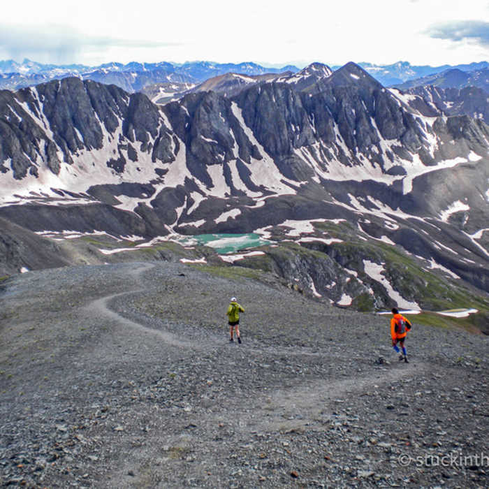
Crux: The steeper pitch on the upper north ridge between 13,600' and 13,950', where the trail zigzags up loose, exposed terrain before the angle eases near the summit — the most concentrated section of moderate exposure and moderate rockfall on the route.
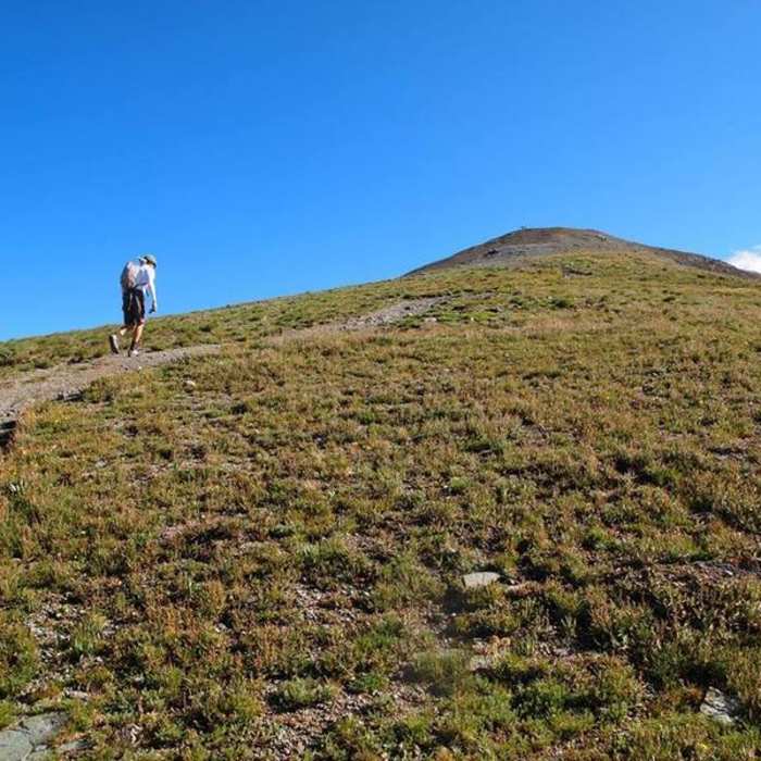
At 3.6 miles, reach the saddle on the east ridge. Follow the ridge crest, climbing 450 vertical feet over rocky Class 2 terrain. Reach the summit of Handies Peak at 3.9 miles.
Retrace your steps to return.
No Condition Reports
Sunshine Peak via Redcloud Peak
Sunshine Peak via Redcloud Peak
Redcloud Peak
Redcloud Peak
Sunshine Peak Northwest Face
Sunshine Peak Northwest Face
Redcloud Peak + Sunshine Peak Loop
Redcloud Peak + Sunshine Peak Loop
Handies Peak Southwest Slopes
Handies Peak Southwest Slopes
Sunshine Peak East Ridge
Sunshine Peak East Ridge
Contributors

