Ready to explore this trail?
View Trail Map in AppNo permits are required for day use. Park at or near the campground to access this route.
Path Type
There and Back
The route begins and ends at the Mill Creek Trailhead after reaching the 14,004' summit of Sunshine Peak from the east ridge.
From the trailhead near the Mill Creek Campground, locate a faint trail across the road, to the northwest. Once on the trail, follow the route as it turns east below rock outcroppings. At 0.3 miles, turn back to the west and begin a steep climb up a broad ledge. At 0.7 miles, and approximately 10,100', turn right to head north, entering the trees and avoiding a cliff. Ascend the forested slopes, aiming for the defined ridge crest to the northeast, to avoid hazardous gully. Around 1.5 miles, emerge above the treeline near 11,800'.
Crux: The lower 2,500 vertical foot climb from Mill Creek Campground to the east ridge crest at ~12,000' — steep, rugged, and thinly marked. A specific right-hand turn at ~10,100' before a large gully is the key navigation point; missing it leads to cliffed-out terrain. Follow trail segments and cairns carefully through the forest and two talus fields. Rockfall potential is considerable on the narrowing upper ridge above 13,300'.
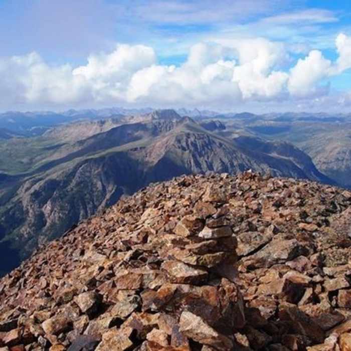
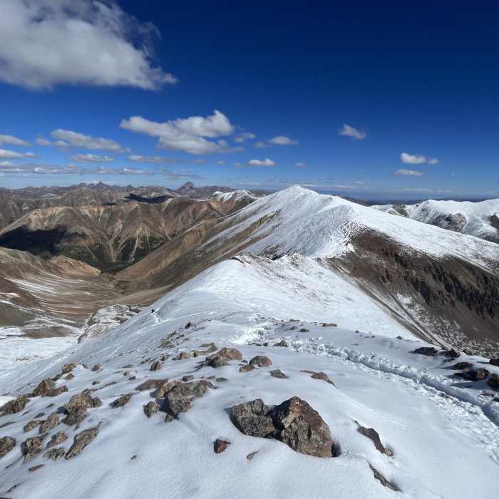
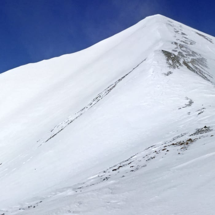
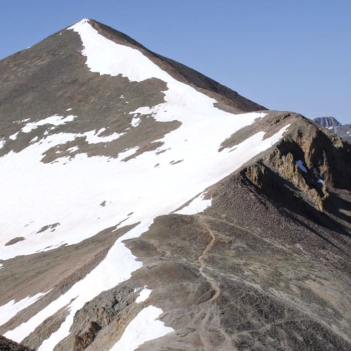
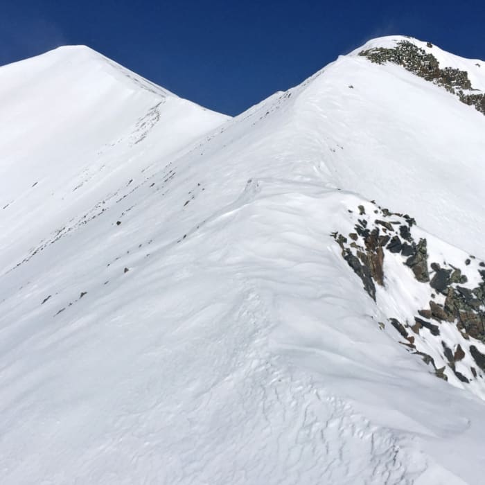
Follow the ridge crest as the terrain transitions to loose dirt, talus, and scree. Navigate the final, steep ridge climb to reach the summit of Sunshine Peak at 3.1 miles.
Retrace your steps back down the ridge, using caution on the loose, steep terrain during the descent.
No Condition Reports
Continental Divide Trail: Colorado Section 11
Continental Divide Trail: Colorado Section 11
Sunshine Peak via Redcloud Peak
Sunshine Peak via Redcloud Peak
Redcloud Peak
Redcloud Peak
Sunshine Peak Northwest Face
Sunshine Peak Northwest Face
Redcloud Peak + Sunshine Peak Loop
Redcloud Peak + Sunshine Peak Loop
Handies Peak East Slopes
Handies Peak East Slopes
Contributors

