

Ready to explore this trail?
View Trail Map in AppPath Type
Point to Point
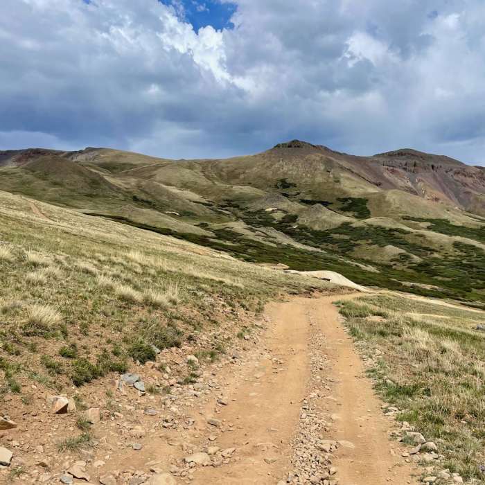
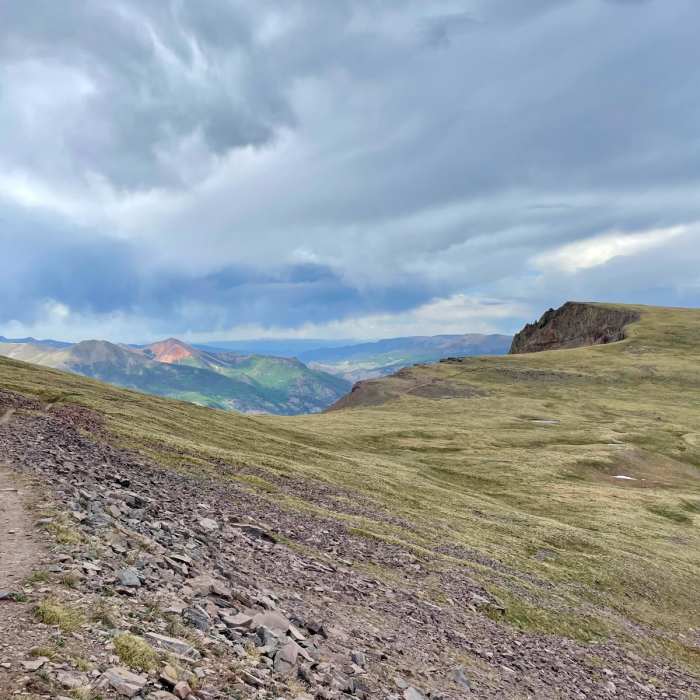
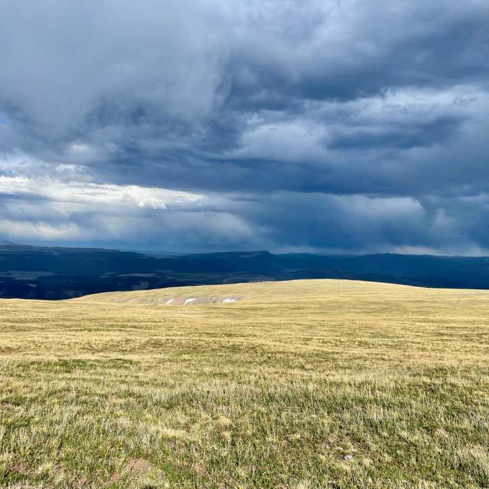
The Continental Divide National Scenic Trail spans nearly 3,100 miles across 5 states from Mexico to Canada, exploring a vast array of different environments and landscapes along the way. The CDT can be completed as a single thru-hike that will take 4 to 6 months, or by section-hiking smaller segments. The Colorado portion of the CDT features 800 miles of stunning and challenging high altitude hiking. Highlights include the South San Juans, Collegiate Peaks, 14,270 foot Grays Peak, Rocky Mountain National Park, and the Mount Zirkel Wilderness. In this guide we'll take a closer look at Colorado Section 11.Colorado Section 11 begins at Carson Saddle. From here you'll follow the dirt 4x4 road as it climbs steadily up toward Coney Point. The CDT veers off the road onto single track at one point to avoid a steep section. The climb eventually mellows out as you work away from the road and ultimately reach the highest point on the Colorado Trail at an elevation of 13,271 feet. Note that this is not the highest point of the CDT, that distinction belongs to 14,270 foot Grays Peak.Carrying onward the terrain stays high and exposed with a few more mellow climbs and descents. You'll have great views toward Lake City and Lake San Cristobal, as well as aptly named Red Mountain. The trail continues to stay high and exposed until descending down to a meadow area. Trees are a welcome sight here and provide shelter from any afternoon storms. There is also a good water source here and a yurt located just off trail.After leaving the meadow area you'll eventually work your way up to Jarosa Mesa. The mesa is a bit rocky and not the most enjoyable hiking. You'll then follow a dirt road down to the trailhead at Spring Creek Pass. This marks the end of section 11. Lake City is to the north and can be accessed from here.
No Condition Reports
Sunshine Peak East Ridge
Sunshine Peak East Ridge
Sunshine Peak via Redcloud Peak
Sunshine Peak via Redcloud Peak
Redcloud Peak
Redcloud Peak
Sunshine Peak Northwest Face
Sunshine Peak Northwest Face
Redcloud Peak + Sunshine Peak Loop
Redcloud Peak + Sunshine Peak Loop
Handies Peak East Slopes
Handies Peak East Slopes
Contributors

