Ready to explore this trail?
View Trail Map in AppRegional Classic
A must do route for the area handpicked by local experts.
No permit is required for parking or hiking. County Road 30 is closed seasonally in winter.
Path Type
There and Back
This route begins and ends at the Silver Creek/Grizzly Gulch Trailhead after reaching the summit of Redcloud Peak.
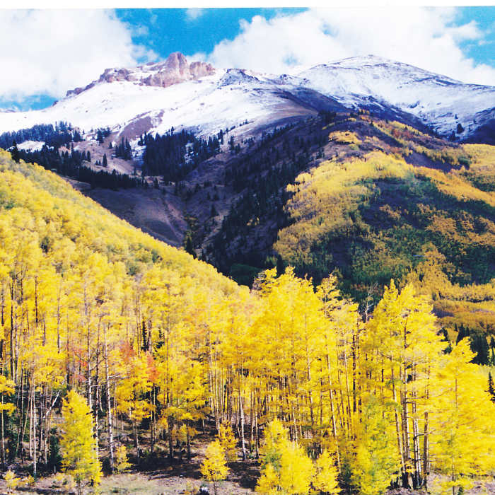
Begin hiking east on the Silver Creek Trail. Follow the well-defined path as it climbs gently through the forest. At 1.0 mile and 11,100 feet, enter the Silver Creek drainage and parallel the creek, occasionally crossing sections of talus. At 1.6 miles, continue straight, bypassing the Sunshine Peak trail on the right. Follow the trail as it winds to the southeast across the open basin.
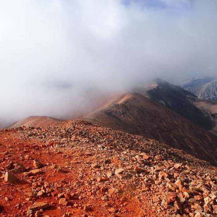
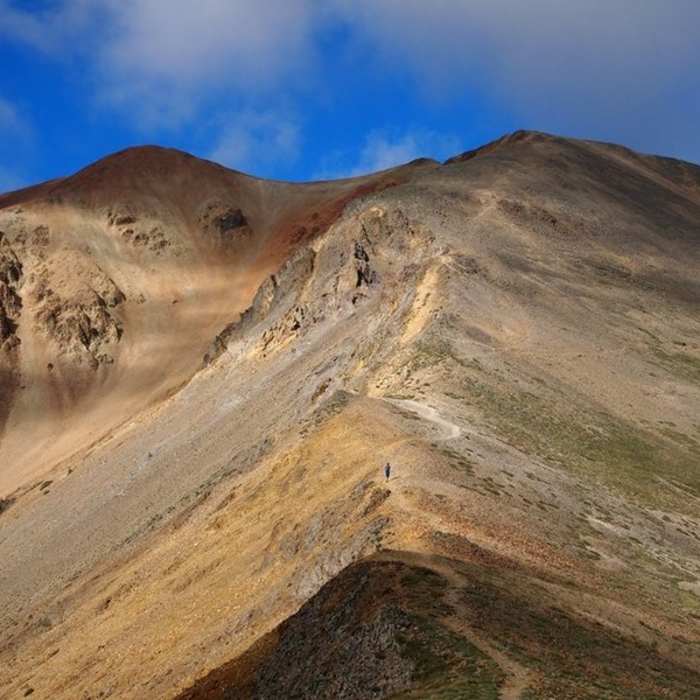
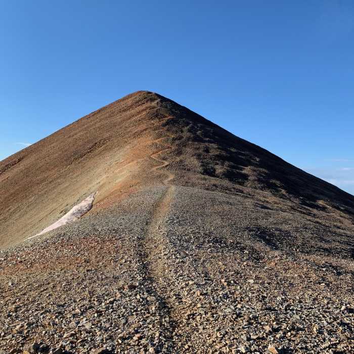
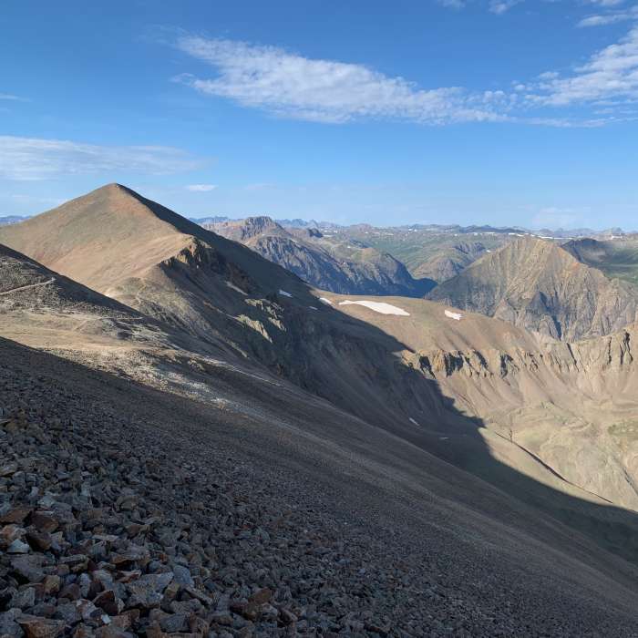
At 3.6 miles, reach the saddle at the top of the basin. Turn right to follow the saddle. At 3.9 miles and 13,300', climb several steep switchbacks to the false summit at 13,800'. Continue climbing along the ridge from the false summit, following the trail up the final red-rock slope to reach the 14,037' summit at 4.5 miles.
Crux: The steep upper northeast ridge above the saddle, where several sections require moving right off the ridge crest to avoid more difficult terrain. Follow the cairns carefully — shortcuts along the direct ridge push the difficulty above Class 2. A false summit appears before the true top; the actual summit is just beyond it.
Retrace your steps to return.
No Condition Reports
Sunshine Peak via Redcloud Peak
Sunshine Peak via Redcloud Peak
Sunshine Peak Northwest Face
Sunshine Peak Northwest Face
Redcloud Peak + Sunshine Peak Loop
Redcloud Peak + Sunshine Peak Loop
Handies Peak East Slopes
Handies Peak East Slopes
Handies Peak Southwest Slopes
Handies Peak Southwest Slopes
Sunshine Peak East Ridge
Sunshine Peak East Ridge
Contributors

