


Ready to explore this trail?
View Trail Map in AppRegional Classic
A must do route for the area handpicked by local experts.
County Road 2 is a rough dirt road that is typically passable for passenger cars for the first few miles, but high-clearance and four-wheel-drive vehicles are highly recommended. The road is not maintained in winter and is typically blocked by snow until late spring.
The route crosses numerous private mining claims. Hikers must stay strictly on the designated trail, respect all boundary signs, and refrain from exploring or entering any historic mine structures or shafts. This cooperation is vital to maintaining public access to the peak.
Path Type
There and Back
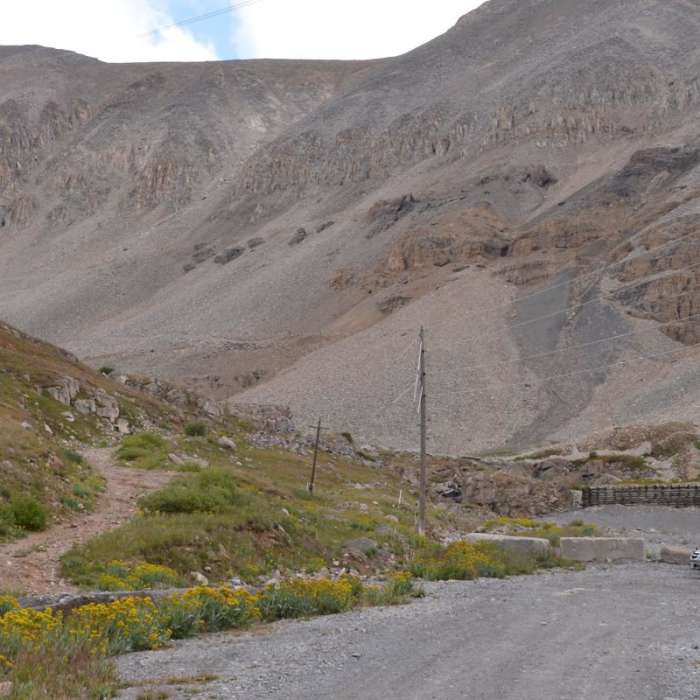
The Mount Sherman via Iowa Gulch trail is a 4.3-mile out-and-back route offering a steeper, less-frequented western approach to the summit of Mount Sherman. Starting from a meadow near Iowa Gulch at an elevation of approximately 11,916 feet, the trail begins by ascending through a rocky basin marked by cairns. The trail then transitions into a more defined path with loose gravel and switchbacks as it climbs toward the saddle.
At the saddle, this trail merges with the popular eastern route. From this point, the final ridge to the 14,022-foot summit is steep and rocky, with some loose footing and minor exposure. There are several false summits along the ridge before reaching the true peak, which provides panoramic 360-degree views of the surrounding Mosquito and Sawatch ranges.
For the more common, slightly easier alternate route, see "Mount Sherman via Fourmile
No Condition Reports
Sherman-Sheridan from Iowa Gulch
Sherman-Sheridan from Iowa Gulch
Dyer Mountain
Dyer Mountain
Mount Sherman via Four Mile Creek Road
Mount Sherman via Four Mile Creek Road
Lake Emma Trail
Lake Emma Trail
Mount Democrat
Mount Democrat
Decalibron
Decalibron
Contributors

