



Ready to explore this trail?
View Trail Map in AppRegional Classic
A must do route for the area handpicked by local experts.
No permit is required. Fourmile Creek Road (CR 18) is washboarded and rough; high-clearance is recommended, though the lower trailhead is reachable by most vehicles. During the winter months the road is usually closed closer to 11,000 ft.
Parts of the route, especially near historical mining structures and the summit of Mount Sherman, cross active mining claims and private property. Hikers must stay strictly on the designated trail to respect landowner rights and ensure continued public access.
Path Type
There and Back
The route begins and ends at Fourmile Creek Trailhead (Leavick), at 11,200 feet, and reaches the summit of Mount Sherman (14,042'). Afternoon thunderstorms build fast and treeline sits low (about 11,800 feet), so start early and be off the ridge by early afternoon. No water on route.
From the trailhead, follow the old mining road up Fourmile Creek, passing a gate at 12,000 feet. Continue past the Dauntless Mine and its collapsed wooden buildings at about 12,300 feet, then bear northwest into a basin below Hilltop Mine. Follow the old road up to Hilltop Mine at 12,900 feet.
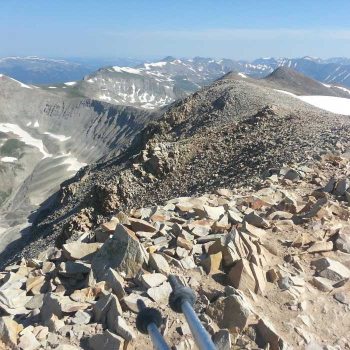
From Hilltop Mine, leave the road and climb the broad southwest ridge directly to the summit (14,042'), a straightforward walk on talus and tundra with no route-finding difficulty in good weather.
Descend the same route. High-clearance vehicles can drive past the lower gate to pulloffs as high as 12,000 feet, shortening the round trip to as little as 3 miles and 1,500 vertical feet; the full route from the lower trailhead runs about 8 miles and 2,800 vertical feet.
The peak can also be reached from Iowa Gulch Trailhead to the west, a longer and more difficult approach that also allows a combined climb of Mount Sherman and Mount Sheridan via the saddle between them.
For a more difficult, less crowded alternate approach, see "Mount Sherman via Iowa Gulch" route.
In January 1967 an Aspen-bound charter flight crash-landed on the summit after experiencing violent down-drafts during an unexpected storm. Parts of the Cessna 310 can still be found on the mountain. Landing in deep winter snow, none of the passengers were harmed. It ultimately took twenty hours for a rescue team to reach the downed aircraft by helicopter. Everyone was rescued and pilot Jimmy Williamson ended up having the unexpected honor of being the first person to land an airplane on a 14er!
No Condition Reports
Dyer Mountain
Dyer Mountain
Sherman-Sheridan from Iowa Gulch
Sherman-Sheridan from Iowa Gulch
Mount Sherman via Iowa Gulch
Mount Sherman via Iowa Gulch
Lake Emma Trail
Lake Emma Trail
Mount Democrat
Mount Democrat
Decalibron
Decalibron
Contributors

