


Ready to explore this trail?
View Trail Map in AppNo fees or permits are required to park at the Iowa Gulch Trailhead or to hike this route.
The trailhead is accessed via Lake County Road 2B, which is a rough, unpaved road. While standard passenger cars can typically make it to the lower sections of the road, a high-clearance vehicle is highly recommended to reach the final parking area near the concrete blocks.
Parts of the route, especially near historical mining structures and the summit of Mount Sherman, cross active mining claims and private property. Hikers must stay strictly on the designated trail to respect landowner rights and ensure continued public access.
Path Type
There and Back
This route offers a less crowded approach to the summits of Mount Sherman and Mount Sheridan, starting from Iowa Gulch near Leadville, Colorado.
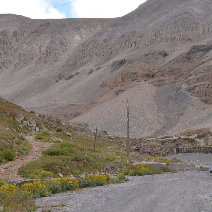
The trailhead is accessed by traveling up County Road 2B. The parking area and trailhead are largely unmarked, located near two concrete blocks roughly 100 yards before the road ends at the Iowa Amphitheater. From the road, the trail descends through a basin filled with wildflowers, bushes, and small, braided streams.
After approximately 0.3 miles, the trail rises above the vegetation line and transitions into a long, rocky ascent toward the saddle between Mount Sherman and Mount Sheridan. The terrain consists of packed dirt, larger rocks, and firm gravel.
From the saddle, the route ascends north to the 14,036-foot summit of Mount Sherman along a wide ridge that merges with the popular route coming from Fourmile Creek. After returning to the saddle, the route then climbs steeply south through rock and scree to the 13,748-foot summit of Mount Sheridan, which features a large cairn and windbreak. The hike is completed by retracing the trail back down to the Iowa Gulch Trailhead.
No Condition Reports
Mount Sherman West Slopes
Mount Sherman West Slopes
Dyer Mountain
Dyer Mountain
Mount Sherman Southwest Ridge
Mount Sherman Southwest Ridge
Lake Emma Trail
Lake Emma Trail
Mount Democrat
Mount Democrat
Decalibron
Decalibron
Contributors

