



Ready to explore this trail?
View Trail Map in AppRegional Classic
A must do route for the area handpicked by local experts.
Permits are not required to hike, but a daily parking fee must be paid at the trailhead.
Parts of the route pass through private property - hikers must stay on designated trails to respect private property. The summit of Mount Bross remains closed.
Path Type
Loop
The route begins and ends at the Kite Lake Trailhead.
From the trailhead, cross the outlet stream and head northwest on the Mount Democrat Trail. At 0.5 miles, begin ascending the switchbacks up the headwall to reach the Democrat-Cameron saddle at 1.3 miles. Turn left to climb the rocky east ridge of Mount Democrat, ascending 700 vertical feet to the summit at 1.9 miles. Retrace your steps back to the Democrat-Cameron saddle.
Upon reaching the intersection with the Mount Democrat Trail on the right at 2.5 miles, continue straight along the Cameron Ridge Connector Trail. Ascend the broad slope to the flat summit of Mount Cameron at 3.4 miles. Continue east down the ridge to the Cameron-Lincoln saddle at 3.7 miles. Continue straight to climb 200 vertical feet to the summit of Mount Lincoln at 4.0 miles.
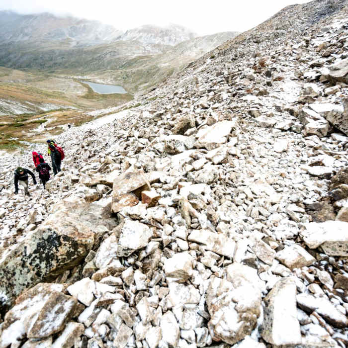
Descend back to the saddle at 4.3 miles. Turn left and follow the Lincoln-Bross Connector Trail south toward Mount Bross. The trail bypasses below the closed summit of Mount Bross at 5.5 miles before descending a steep, loose scree trail back to Kite Lake.
Crux: The descent from Mt. Bross is the most unrelenting stretch of the loop — steep, loose talus on a trail paralleling a drainage before eventually moderating toward Kite Lake. Coming after multiple summits at altitude, the demanding footing arrives exactly when legs are most fatigued.
All Clear
All Clear
Looking for more condition reports?
Mount Democrat
Mount Democrat
Mount Lincoln
Mount Lincoln
Mount Cameron
Mount Cameron
Mount Bross - West Slopes
Mount Bross - West Slopes
Kite Lake Overlook
Kite Lake Overlook
Lake Emma Trail
Lake Emma Trail
Contributors

