Ready to explore this trail?
View Trail Map in AppRegional Classic
A must do route for the area handpicked by local experts.
The summit of Mount Bross is closed private property; hikers must remain on the designated bypass trail.
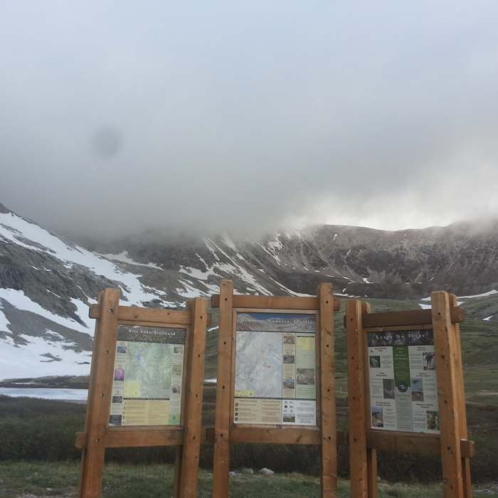
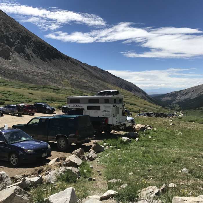
A parking fee is required at the Kite Lake Trailhead.
Path Type
There and Back
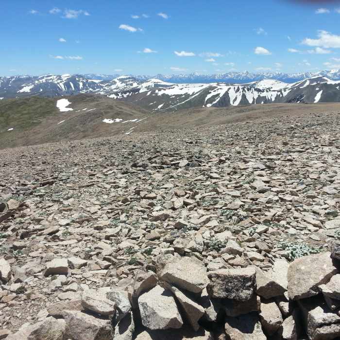
This route begins and ends at the Kite Lake Trailhead after reaching the bypass trail below the summit of Mount Bross. Due to private property restrictions, the true summit of Mount Bross is closed to public access; hikers must stay on the established trail and avoid trespassing on the summit area.
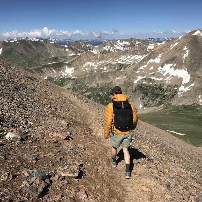
From the parking area, cross the outlet stream, keep right at the fork, and head northeast on the Mount Bross Trail. Climb steeply through loose rock and scree, gaining 2,000 vertical feet over 1.4 miles to reach the high ridge. The trail ends near the ridge at 14,019 feet.
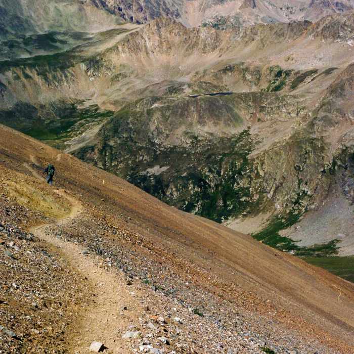
Crux: The upper west slopes above 13,500' — where the grade steepens and the absence of a defined trail means every step is on loose, unconsolidated scree and tundra. Without a worn path to follow, footing is less predictable than on the neighboring Kite Lake peaks, and the terrain demands more deliberate movement per vertical foot than Lincoln or Cameron.
Retrace your steps back down the west slopes to return to Kite Lake.
No Condition Reports
Mount Democrat
Mount Democrat
Decalibron
Decalibron
Mount Lincoln
Mount Lincoln
Mount Cameron
Mount Cameron
Kite Lake Overlook
Kite Lake Overlook
Lake Emma Trail
Lake Emma Trail
Contributors

