Ready to explore this trail?
View Trail Map in AppRegional Classic
A must do route for the area handpicked by local experts.
Permits are not required to hike, but a daily parking fee must be paid at the trailhead. Parts of the route pass through private property - hikers must stay on designated trails to respect private property. The access road to Kite Lake is rough and typically requires a high-clearance vehicle, and it is closed seasonally during winter.
Path Type
There and Back
The route begins and ends at the Kite Lake Trailhead after reaching the 14,291' summit of Mount Lincoln.
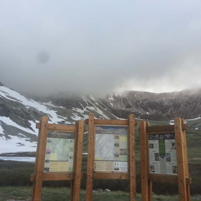
From the trailhead, cross the outlet stream and head northwest on the well-defined trail in the middle, passing the Kite Lake Campground access on the left, and the Kite Lake Overlook Trail on the right.
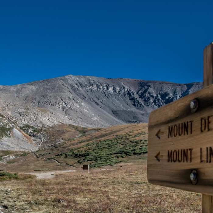
At 0.6 miles, angle right as the trail steepens and begins ascending a series of rocky switchbacks up the headwall. Continue through the boulder fields to reach the 13,400' Democrat-Cameron Saddle at 1.4 miles.
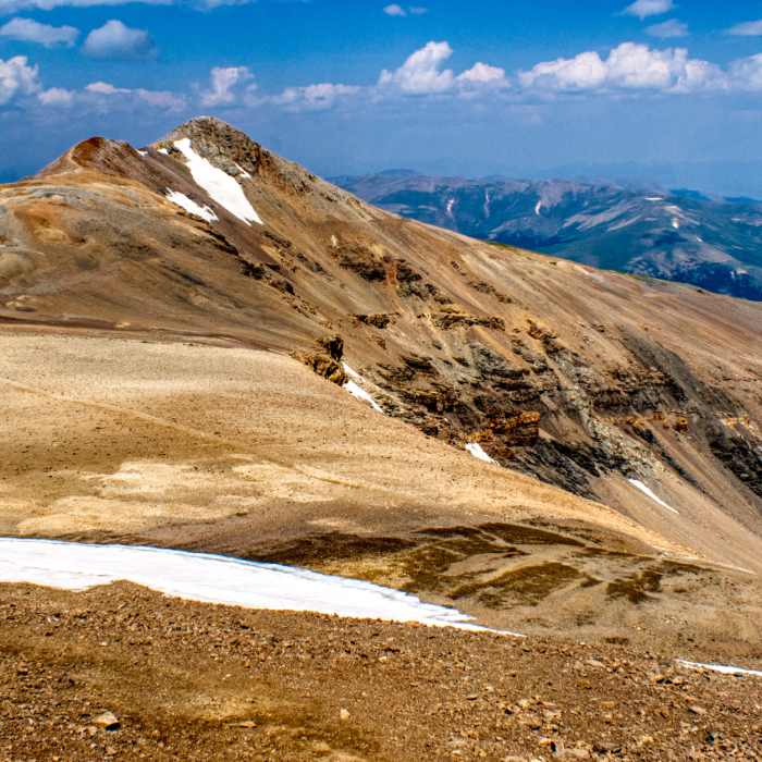
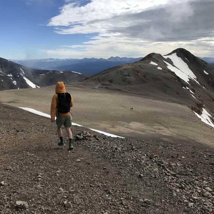
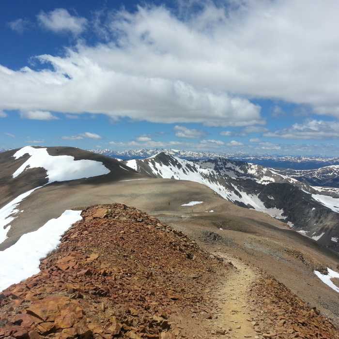
Turn right and continue east across the flat ridge, descending slightly to the saddle between Cameron and Lincoln at 2.1 miles. From the saddle, follow the ridge northeast for 0.7 miles to the summit of Mount Lincoln at 2.8 miles.
Crux: The final Class 2 pitch from the Cameron-Lincoln saddle to the 14,291' summit is the most exposed section of the route, where moderate rockfall is the primary concern — the ridge is well-defined but loose in places, and other parties above can send rock down without warning. Earlier in the route, the rugged slope between 12,600' and 12,700' is the most technically demanding terrain on the approach, requiring careful foot placement before the trail eases onto Democrat's east slope. Both sections are well within Class 2, but neither rewards inattention.
Retrace your steps back to the trailhead. Use caution on the steep, loose rock during the descent.
No Condition Reports
Mount Democrat
Mount Democrat
Decalibron
Decalibron
Mount Cameron
Mount Cameron
Mount Bross - West Slopes
Mount Bross - West Slopes
Kite Lake Overlook
Kite Lake Overlook
Lake Emma Trail
Lake Emma Trail
Contributors

