Trail Overview
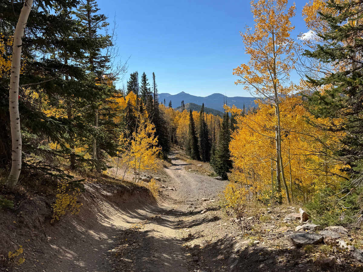
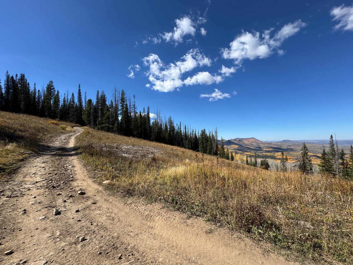
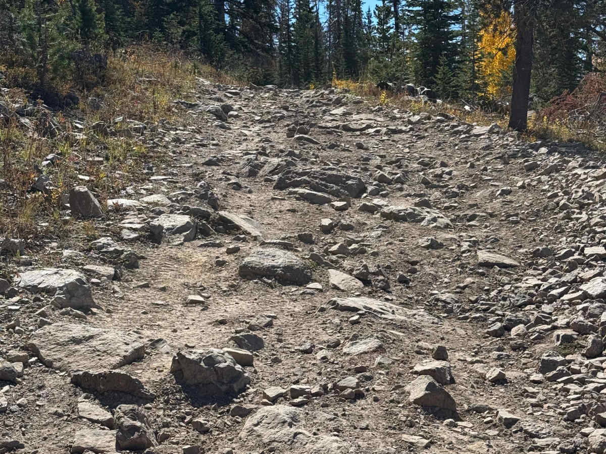
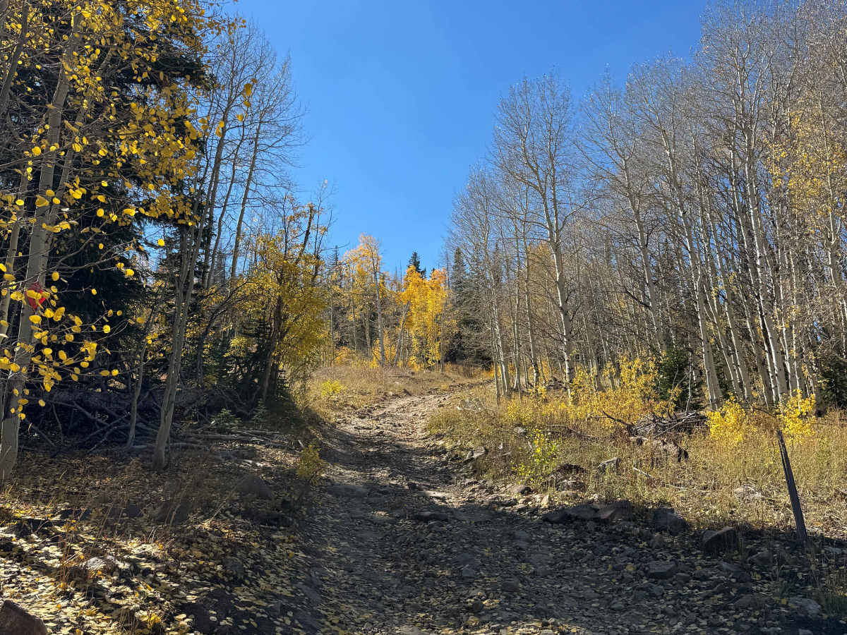
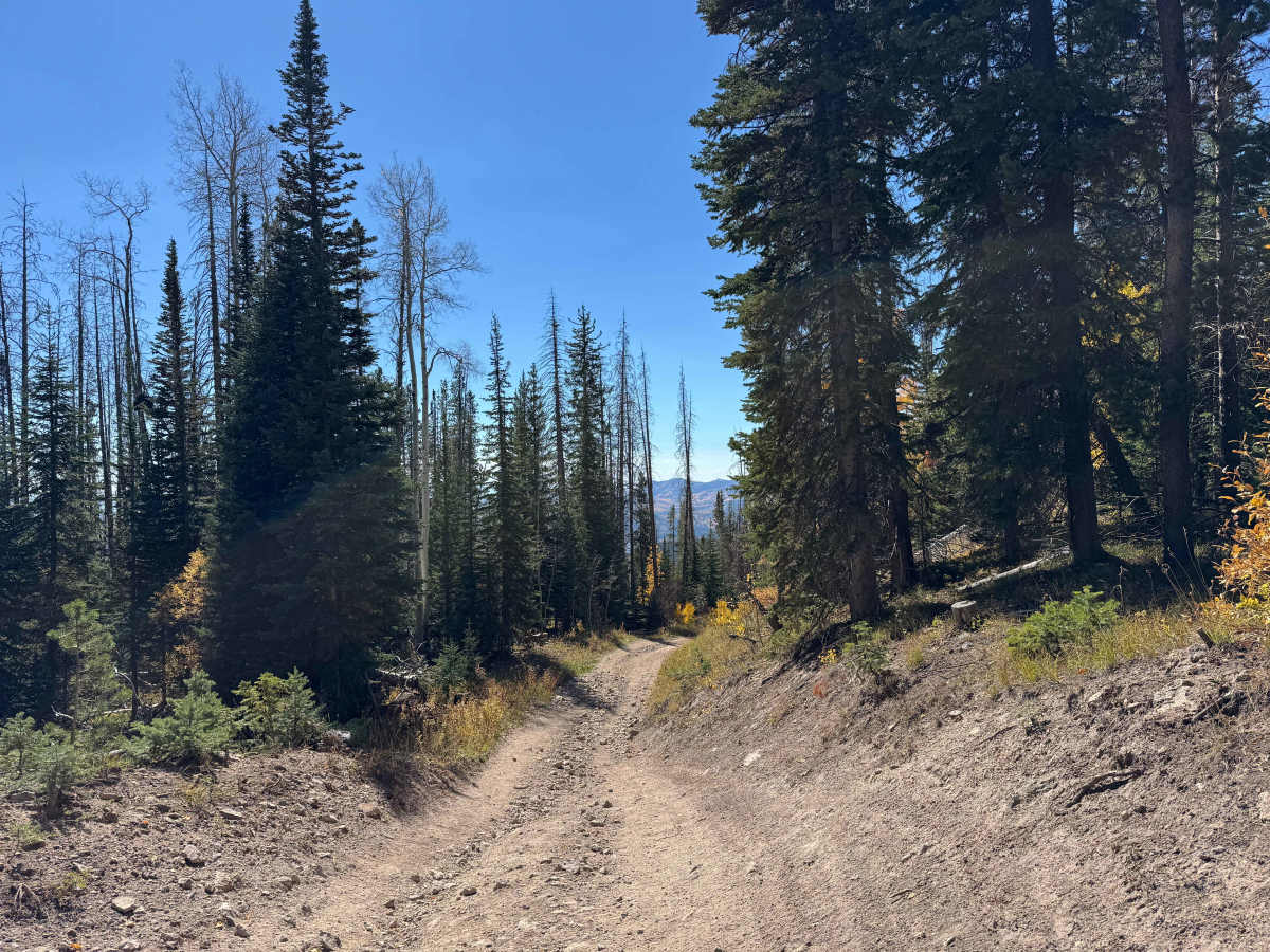
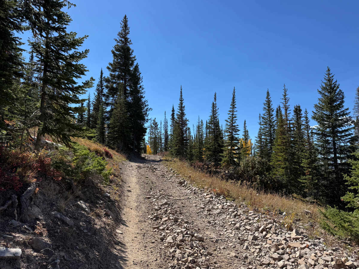
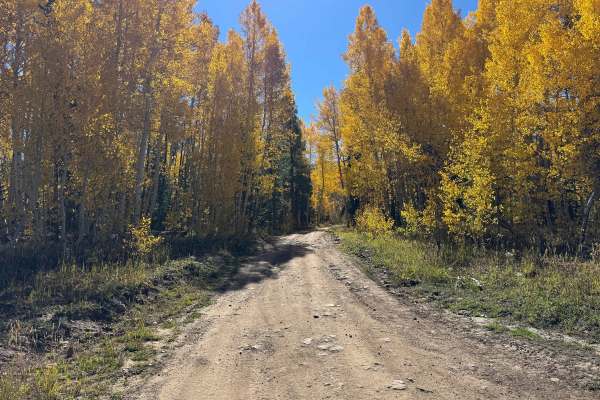
From the upper section of the route, this trail climbs up and across the midsection of Hahns Peak, offering a challenging but highly rewarding off-road experience. Several sections feature significant climbs covered with loose golf-ball- to baseball-sized rocks, while larger embedded rocks, some measuring 6 to 8 inches, require careful wheel placement and steady line selection. 4WD may be necessary on the steeper, rockier sections, particularly when loose rock reduces traction. The route offers spectacular mountain scenery throughout, with especially impressive views during the changing seasons. Wildlife is also common in this area, and it is not unusual to spot deer, elk, or other mountain species along the route. As you begin to crest the peak, the trail opens to several outstanding viewpoints, including a particularly scenic area near the major intersection. Continuing downhill, the route eventually reaches the parking area for the Hahns Peak Trail, making this a scenic and varied route with a good mix of technical terrain and exceptional high-country views.
Difficulty
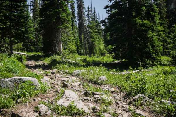
In dry conditions, the most challenging sections of this trail are the steeper climbs through loose rock gardens. There are several of these sections along the route, along with occasional larger embedded rocks that require careful attention to ground clearance and wheel placement. 4WD will be necessary in the more difficult areas to maintain traction and make steady progress. Even riders on a 2WD dirt bike will find some of these sections physically demanding, particularly where the loose rocks and steeper grades combine to make traction and control more difficult.
History
The history of trails in this area goes back well before modern Forest Service roads. Early transportation routes often followed Native American and wildlife corridors, natural passes, and the easiest terrain through the mountains. As mining, ranching, and settlement expanded during the late 1800s and early 1900s, these paths developed into wagon roads, freight routes, and livestock trails. The Lamb Trail near Steamboat was used to move sheep toward market, while the Wyoming Trail served ranching and sheep-driving operations between Wyoming and the Yampa Valley. The arrival of the railroad in 1909–1912 greatly expanded access and helped drive the development of mining, ranching, and tourism. The Routt National Forest itself was established as the Park Range Forest Reserve in 1905 and renamed the Routt National Forest in 1908. Many of today’s roads and trails are essentially modern versions of these historic transportation corridors.



 Offroad