Trail Overview
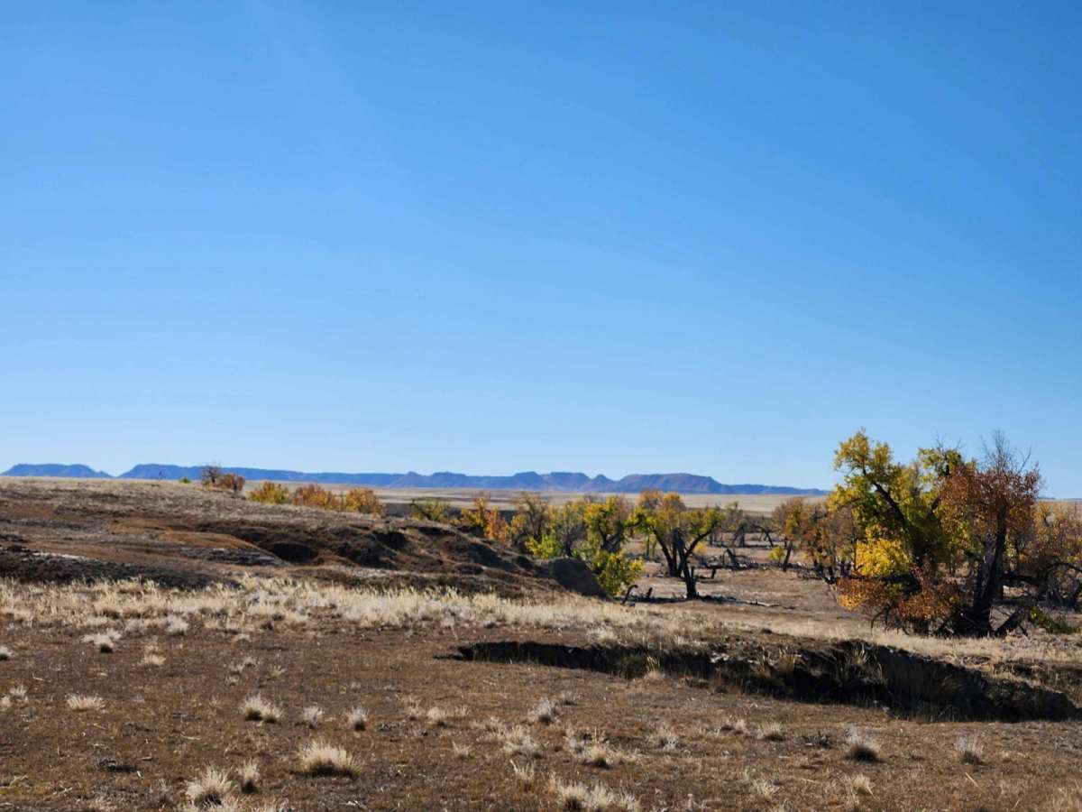
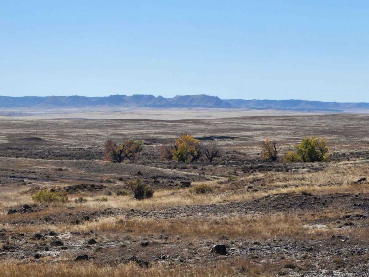
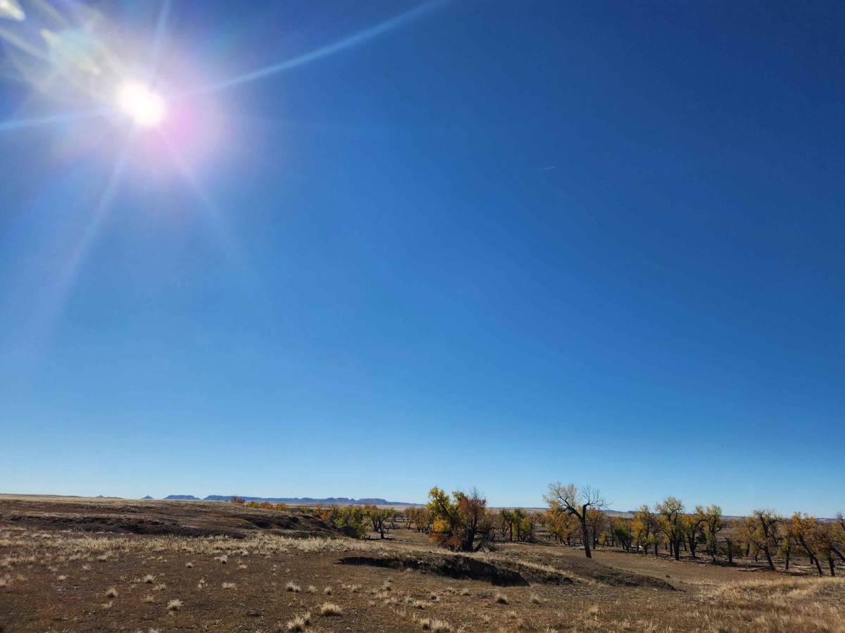
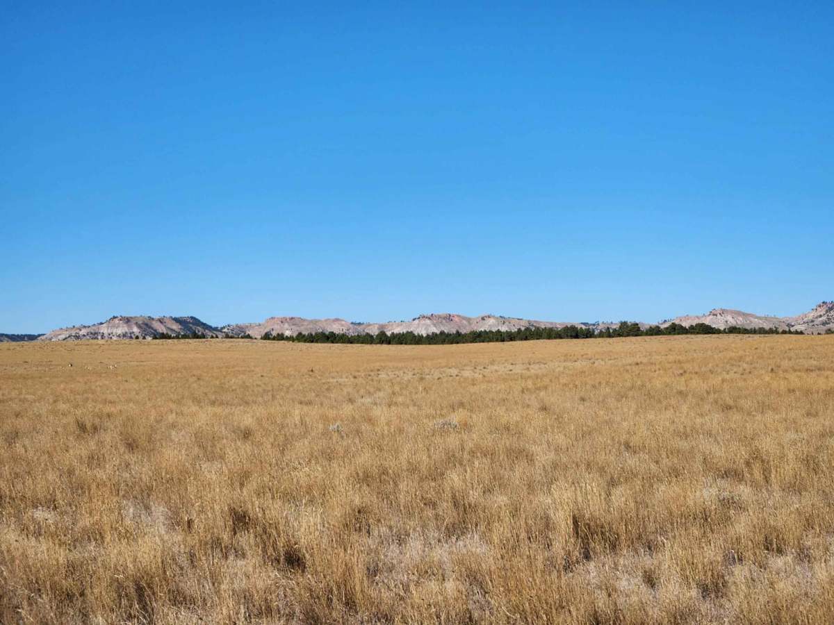
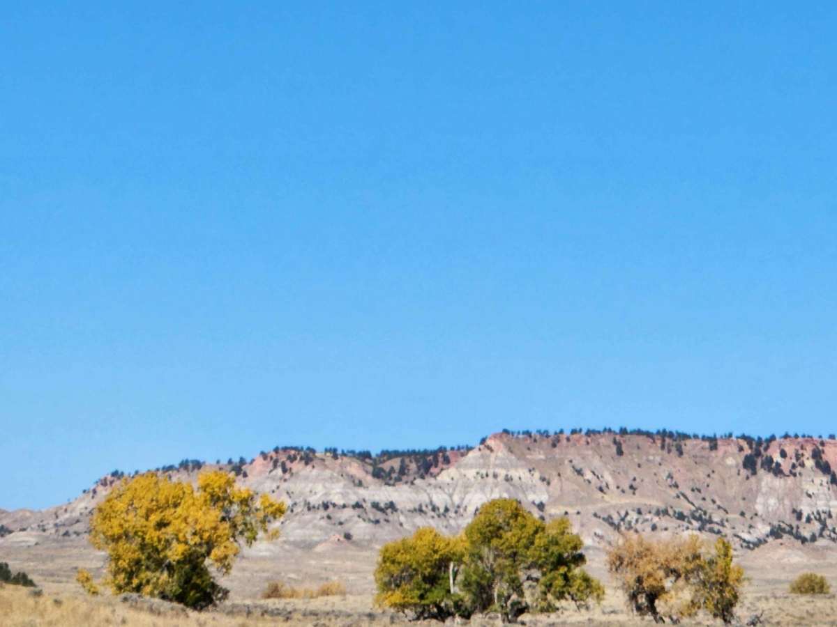
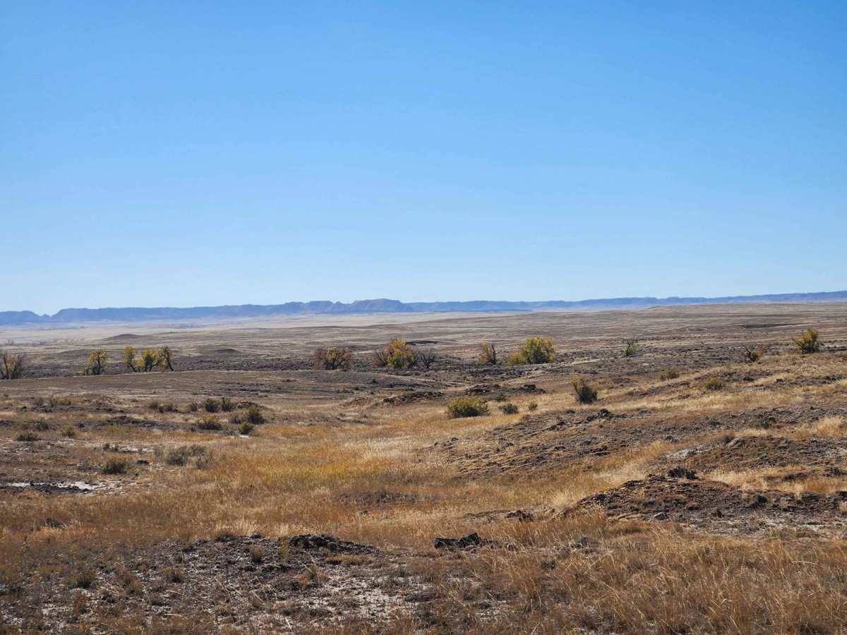
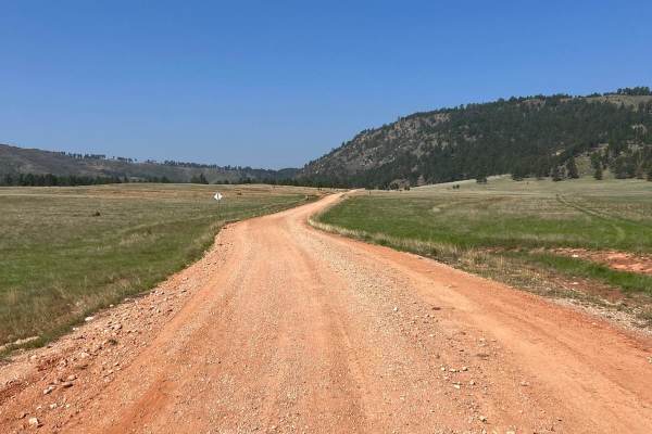
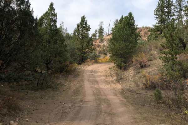
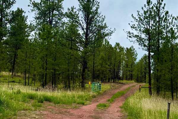
Prairie Dog Chase is a scenic 13-mile unpaved route winding through the classic western landscapes of Wyoming's Thunder Basin National Grassland, making it an ideal adventure for overland beginners and scenery seekers alike. This point-to-point trail showcases sprawling prairie dog towns, rugged bluffs, and abundant wildlife including antelope, golden eagles, and coyotes amidst a backdrop reminiscent of a classic western film. Traversing a primarily dirt surface, the route experiences minimal elevation changes, ranging from 4,237 feet to 4,469 feet with a mild cumulative gain of approximately 327 feet. While generally straightforward and relaxing under dry conditions, the terrain demands attention during wet weather when mud can quickly accumulate and complicate traction.
The route carries a technical difficulty rating of 4, primarily due to the potential for deep water crossings where the trail intersects the Cheyenne River and other low-lying drainage areas. High-clearance four-wheel-drive vehicles or SxSs are highly recommended to safely navigate these seasonal water hazards and occasional muddy washouts. Because water levels can fluctuate significantly based on local rainfall and snowmelt, drivers should scout depth and flow speed before attempting to cross the riverbed. Camping opportunities are plentiful along the way, allowing travelers to fully immerse themselves in the remote Great Plains environment, though visitors should come prepared with self-contained gear and plenty of water.
Access Description
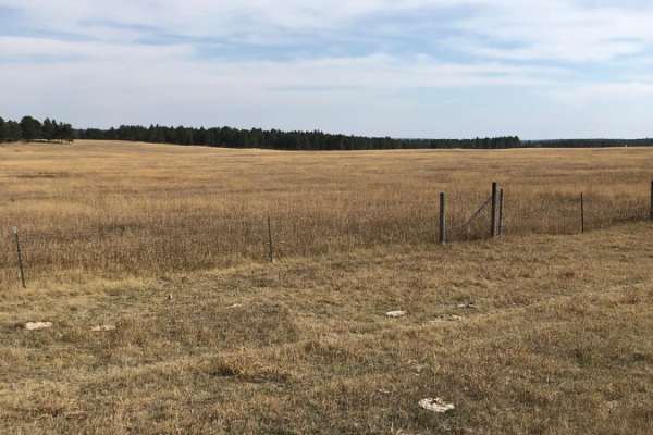
No fees or permits are required to access Thunder Basin National Grassland. However, the area features a patchwork of public and private land, so travelers must stay on designated routes and respect private property boundaries.