Trail Overview
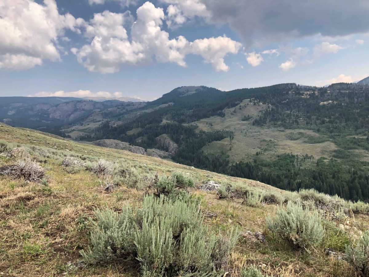
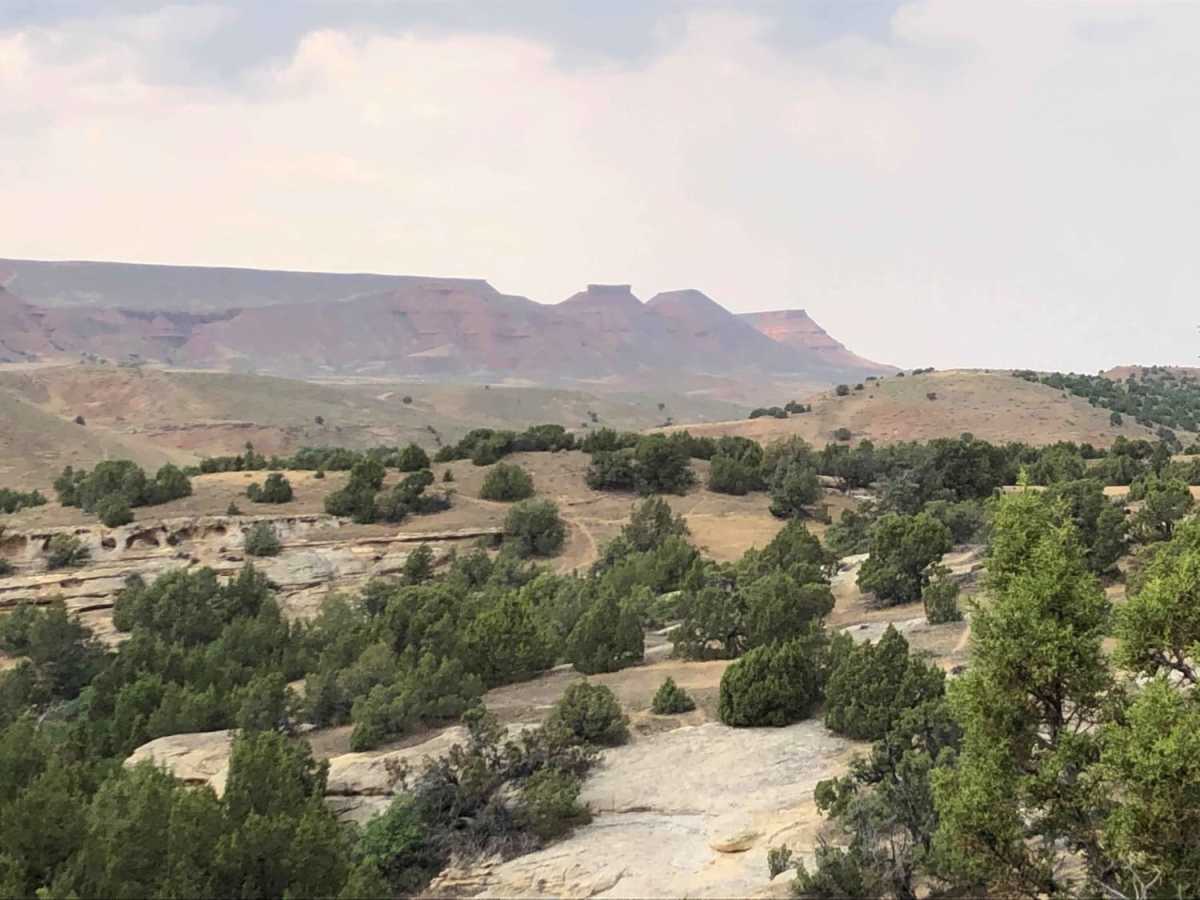
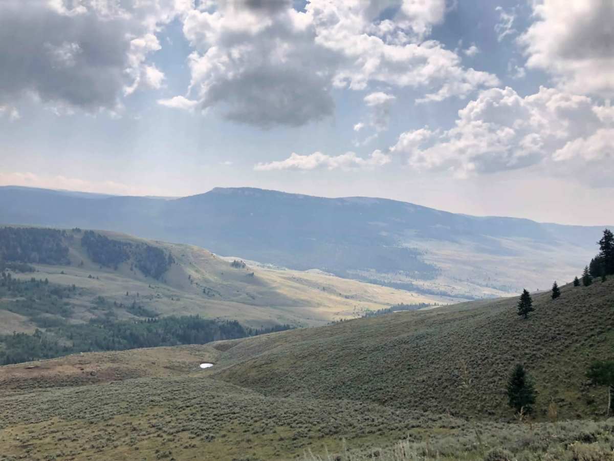
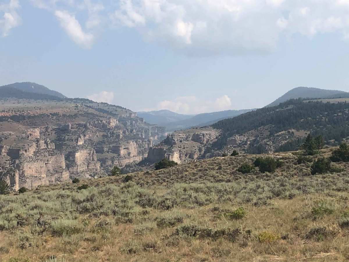
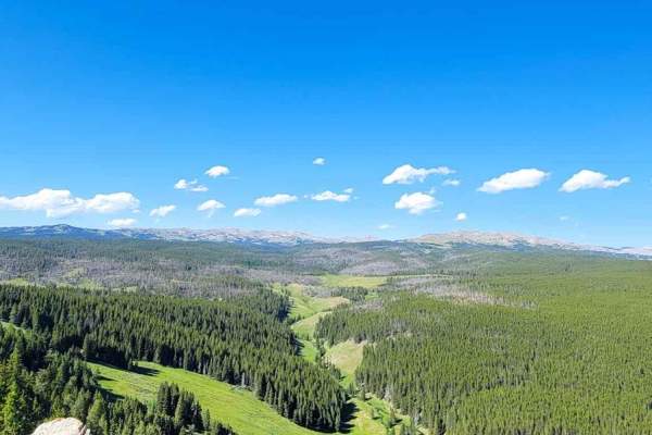
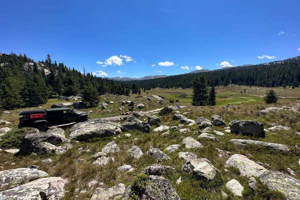
Paintrock Falls is a scenic 14.7-mile off-road trail transitioning from Wyoming's high desert to rugged mountain canyons. Starting at the Medicine Lodge State Archeological Site, the route climbs from 4,800 feet to a peak of 8,730 feet near Cement Mountain. The drive begins on easy dirt and gravel roads through the foothills of the Bighorn Mountains before reaching the rim above Paintrock Canyon, where it descends steeply.
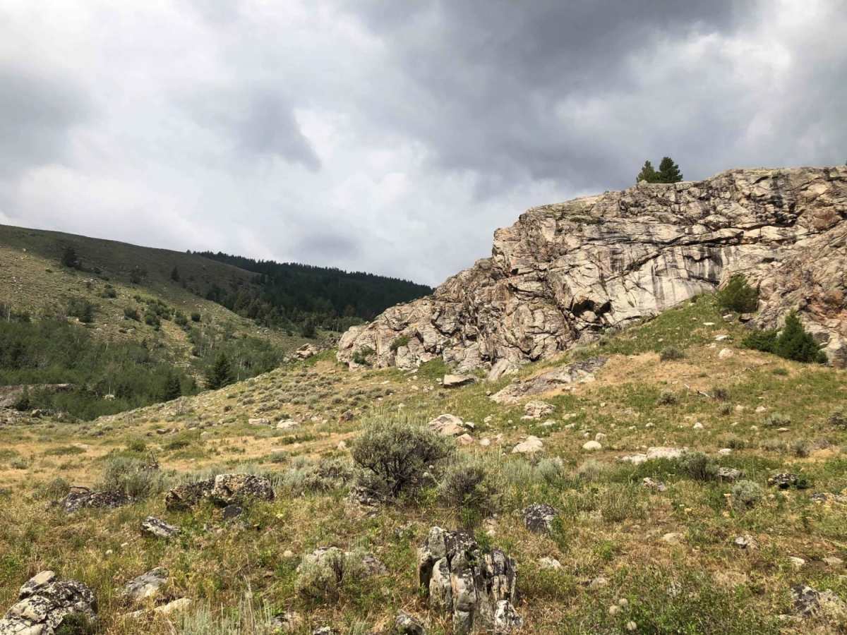
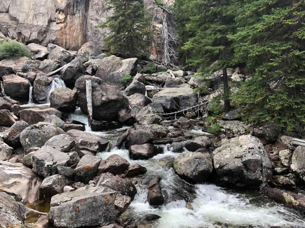
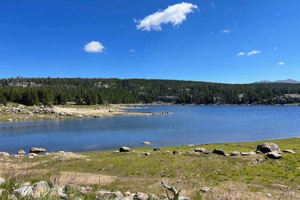
The technical descent into the canyon features rocky terrain, deep ruts, and washouts requiring a high-clearance 4WD vehicle. After reaching the canyon floor where the road ends, a short walk along the creek leads directly to Paintrock Falls. Camping is available at the trailhead, making this a popular summer and autumn destination.
Access Description
The trail reaches elevations above 8,700 feet and is subject to seasonal snow closures. Parts of the surrounding area lie within the Medicine Lodge Big Game Winter Range, meaning certain areas or side tracks may have seasonal access restrictions to protect wildlife. Always check with the Bighorn National Forest or Wyoming State Parks for current gate statuses and fees.