Oil & Gas View Area

Total Miles0.3
Technical Rating
2Easy
Best TimeSpring, Summer, Fall
Trail TypeFull-Width Road
Accessible By
Open Trail Map

Trail Overview

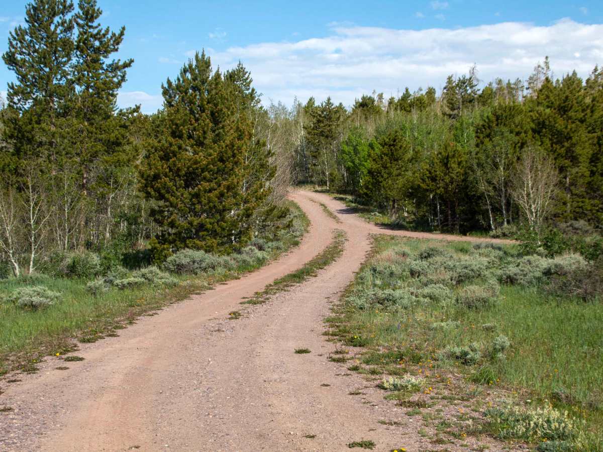
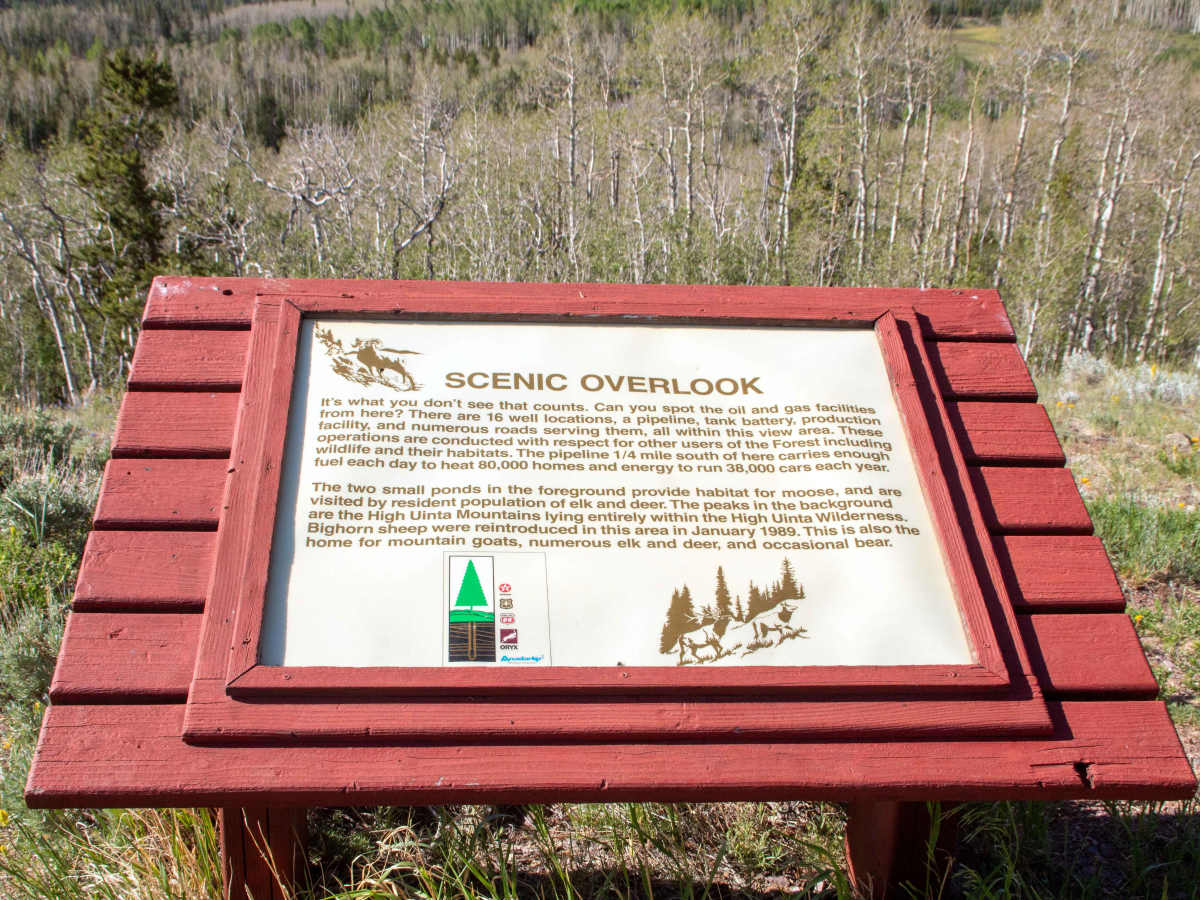
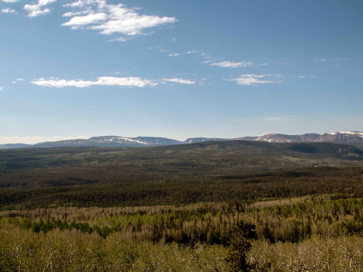
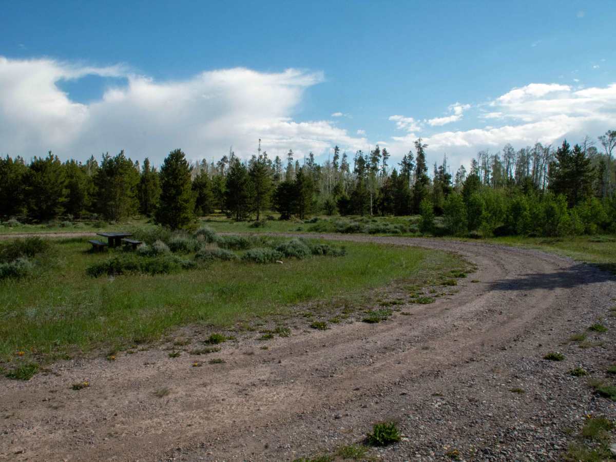
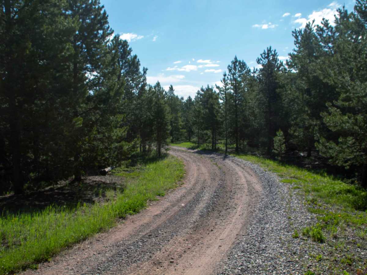
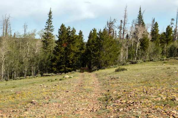
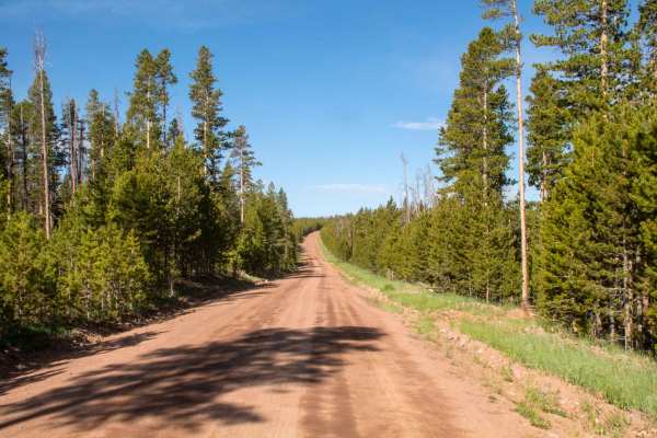
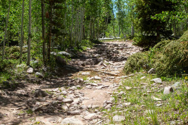
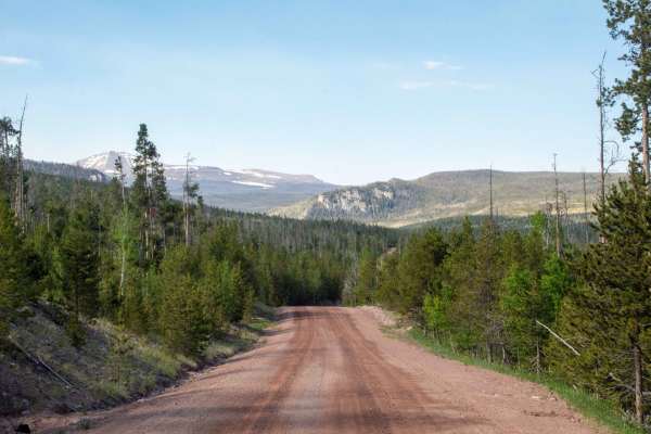
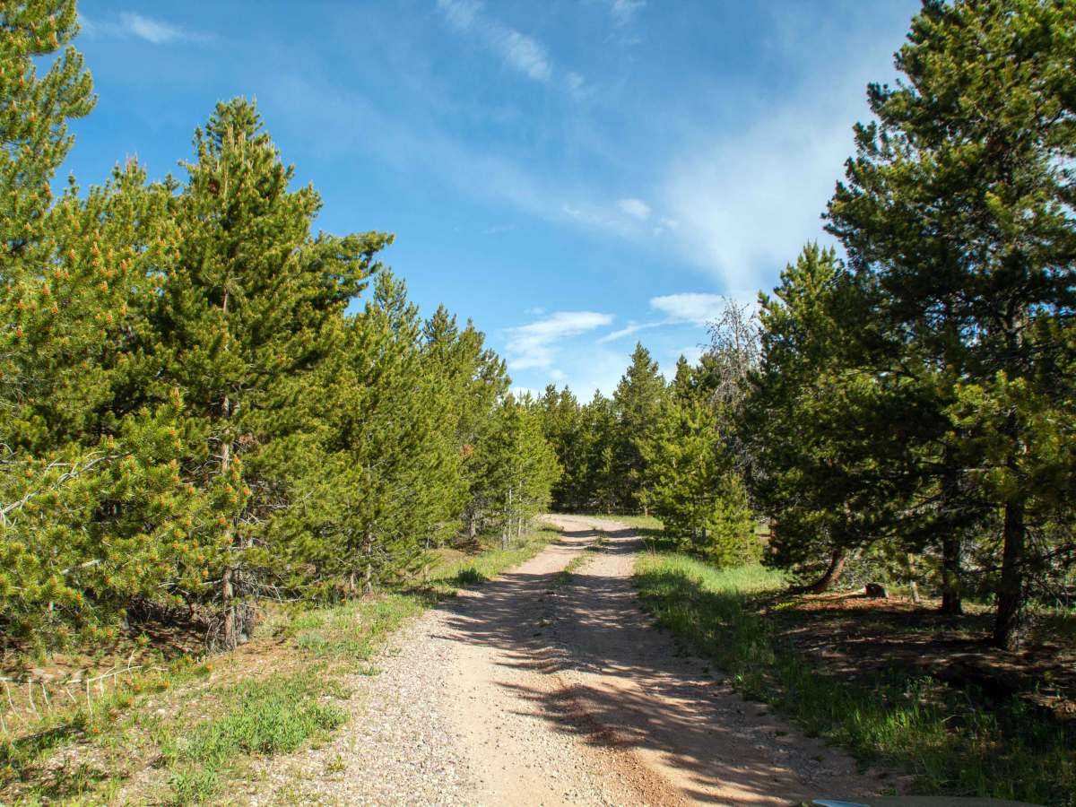
This short spur branches off of Louse Creek and heads East through the trees to where it enters a clearing and ends at a small loop. At the end are a viewpoint of the surrounding landscape, a couple of picnic tables, as well as an informative sign that points out stuff in the surrounding landscape and mentions details about the oil and gas operations that take place in this area. This trail is only one vehicle wide and has a few small ruts and rocks along the short trail. This trail is only open to highway-legal vehicles and has no seasonal closure date, but may be impassable during the winter and early spring months due to snow.

Photos of Oil & Gas View Area

Difficulty

Has some small rocks and ruts in the road and is one vehicle wide with a couple of places to pass.

Technical Rating

2

Oil & Gas View Area Trail can be accessed by the following ride types:

  • High Clearance
  • Full Width

Oil & Gas View Area Map

The onX Offroad Difference

onX Offroad combines trail photos, descriptions, difficulty ratings, width restrictions, seasonality, and more in a user-friendly interface. Available on all devices, with offline access and full compatibility with CarPlay and Android Auto. Discover what you're missing today!

Open Trail Map