Trail Overview
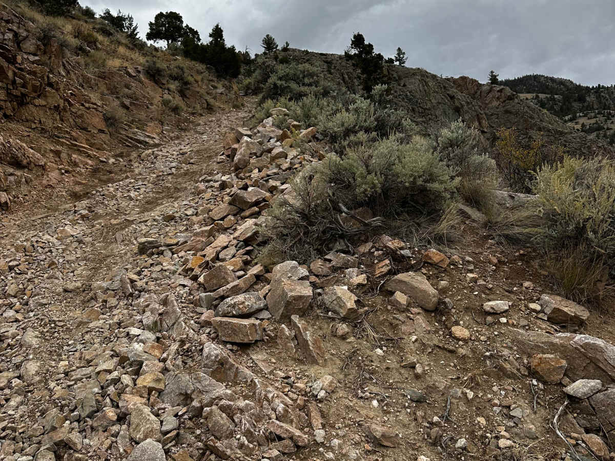
After four years closed, the Morrison Jeep Trail reopened in mid-September 2026. The 2022 floods buried the lower canyon and switchbacks under rock. Crews from the Shoshone National Forest, BLM, and Wyoming State Trails spent the summer drilling, blasting, and rebuilding the route. The first phase is done, so it's open from the canyon floor to the top of the switchbacks and beyond.
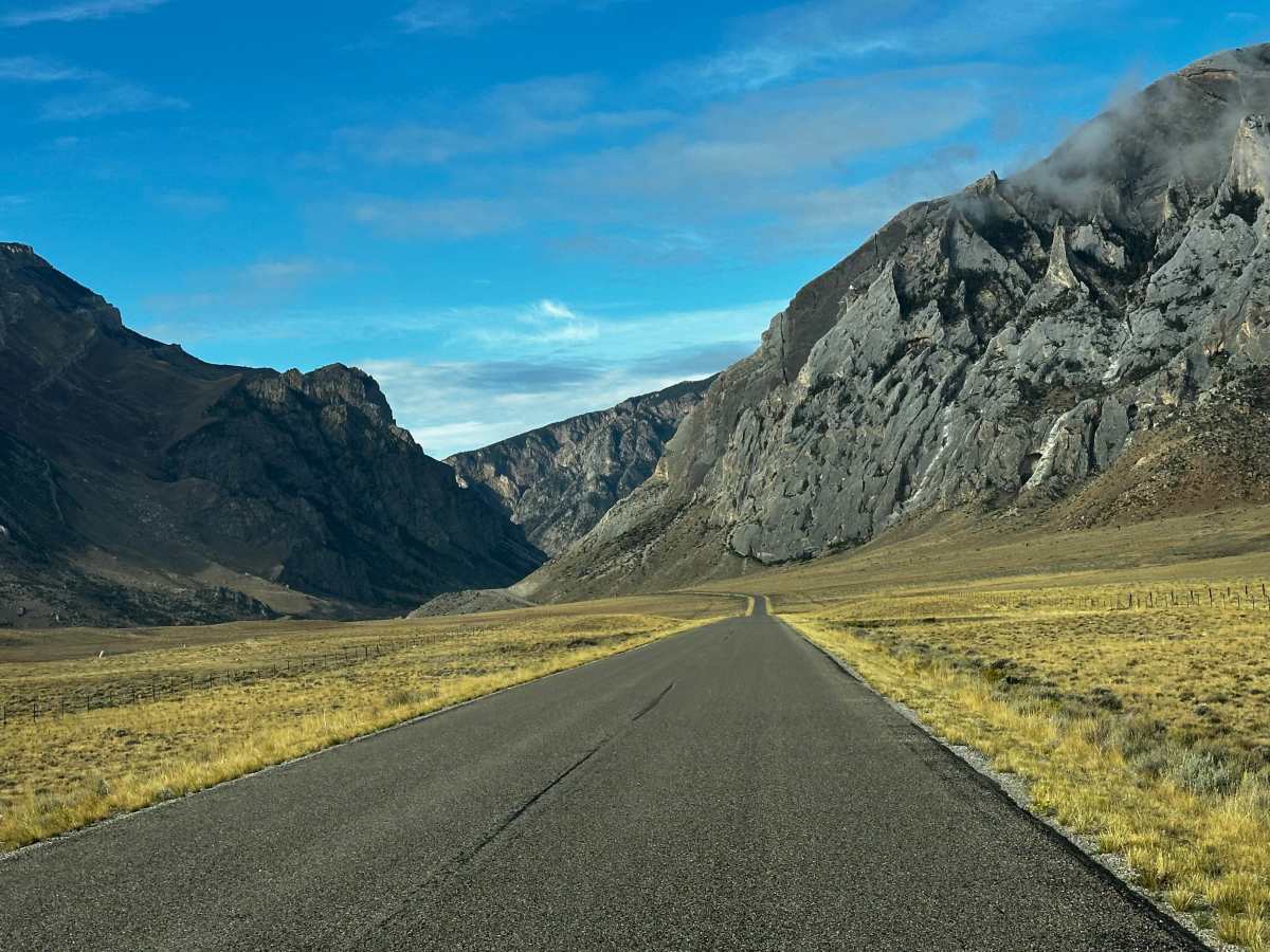
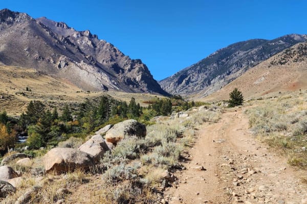
The trail starts at the BLM trailhead at the base of Clarks Fork Canyon and follows the river up a rebuilt, rocky road. You can likely drive this lower stretch in 4-High until you reach the switchbacks. Along the way, there's good fishing, and a short hike to Bridal Veil Falls is worth the stop.
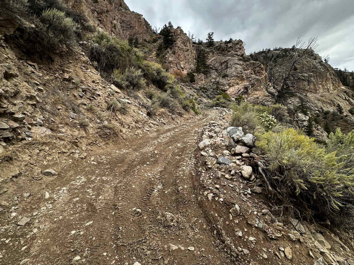
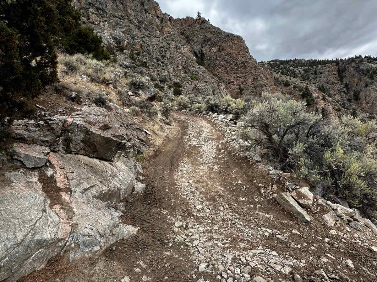
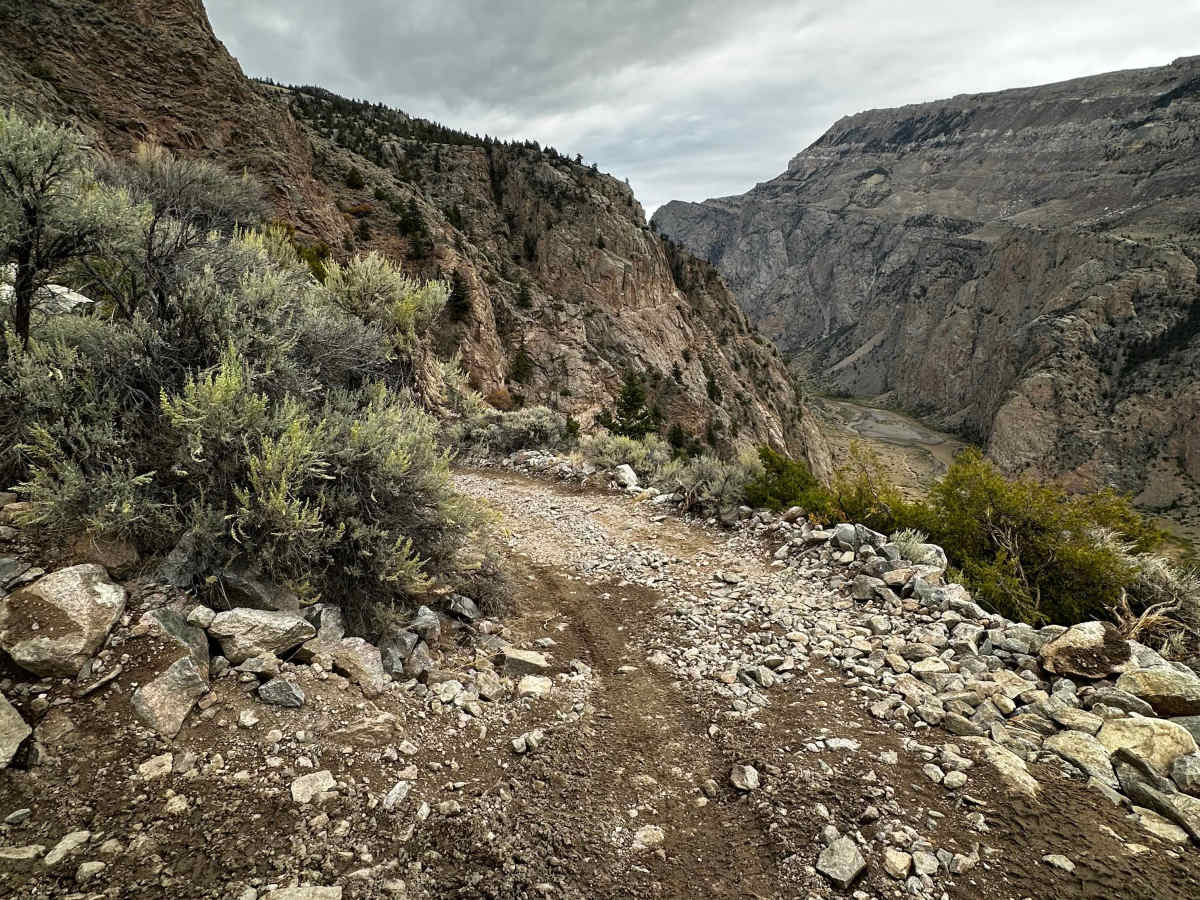
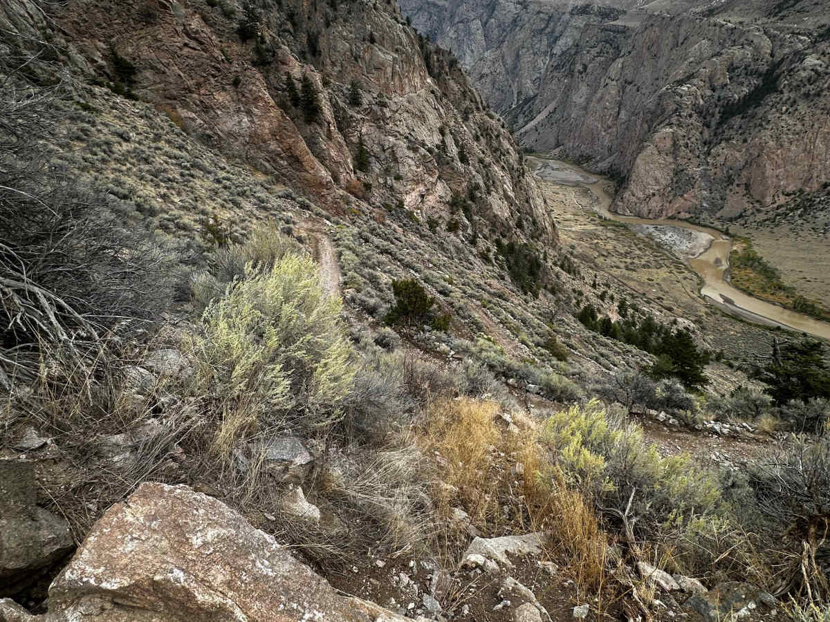
The switchbacks are the main event. The rebuild improved them a lot, with a solid retaining wall and widened corners. It's still 26 tight switchbacks climbing the mountain, with a serious drop-off and big views. The corners are tight enough that long wheelbases will need to back up, and we backed up about 7 of them in Gladiators.
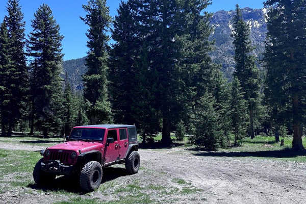
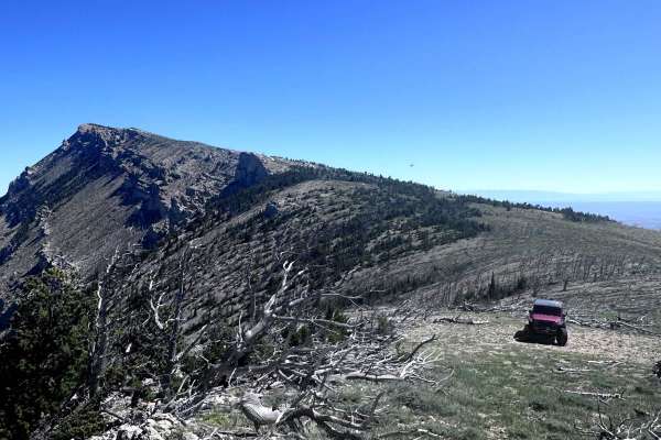
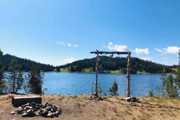
Above the switchbacks, the trail mellows out through meadows and timber, with a few creek crossings that weren't deep in October. Rocky obstacles show up toward the end. There are plenty of good lunch stops, more fishing along the way, and dispersed camping along the route.
Access:
- The Forest Service asks everyone to run the trail out-and-back rather than as a loop, because of the heavy interest since the reopening.
- They also ask that you go uphill in the morning and downhill in the late afternoon, so uphill and downhill traffic don't meet on the narrow sections.
- Phase two, the 15.6 miles from the switchbacks to the plateau, is expected to take another two construction seasons. Crews will likely be back in July 2027, so expect possible work closures higher up.
- Check the Wapiti Ranger District (307-527-6921) or the Shoshone National Forest Facebook page for current closures before you go.
Difficulty
The Morrison Jeep Trail is an expert-level, high-clearance 4x4 route known for its narrow, exposed switchbacks. The lower canyon road is rocky but manageable in 4-High. Once you start climbing, the single-lane switchbacks leave little room for error, with steep drop-offs and nowhere to turn around. Longer wheelbases will need multi-point turns on the tightest corners, and a spotter helps. The 2026 rebuild widened the corners and added a retaining wall, which takes some of the edge off. It still takes patience, concentration, and a capable rig. Above the switchbacks, the trail eases into meadows and timber, with a few creek crossings and some rocky obstacles near the end. Don't wheel alone.
History
The Clarks Fork Canyon at the base of the Morrison Jeep Trail is part of the Nez Perce (Nee-Me-Poo) National Historic Trail. In September 1877, roughly 750 to 800 Nez Perce men, women, and children and about 2,000 horses slipped through the canyon during their flight from the U.S. Army. They evaded both General Howard's and Colonel Sturgis's troops, and the narrow canyon mouth became part of one of the most remembered chapters of that flight. Off-road guides often say the jeep trail follows a path the Nez Perce used, but the Forest Service and National Park Service materials I found only place the Nez Perce in the canyon itself. I'd say the trail runs through this historic landscape rather than follow their exact route.
The route became a legendary 4x4 challenge, known for its 27 switchbacks and a climb from about 4,500 feet to over 10,000 feet on the Beartooth Plateau. The June 2022 floods that also shut down Yellowstone buried the lower canyon and switchbacks in rock and closed the trail for four years. In 2026, the Shoshone National Forest, BLM, and Wyoming State Trails spent months drilling, blasting, and rebuilding it, and the trail reopened in mid-September. The work continues next summer on the 15.6 miles from the switchbacks up to the plateau.