Henrys Fork - FS 80077

Total Miles7.9
Technical Rating
1Easy
Best TimeSpring, Summer, Fall
Trail TypeFull-Width Road
Accessible By
Open Trail Map

Trail Overview

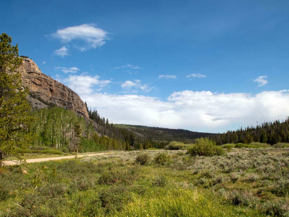
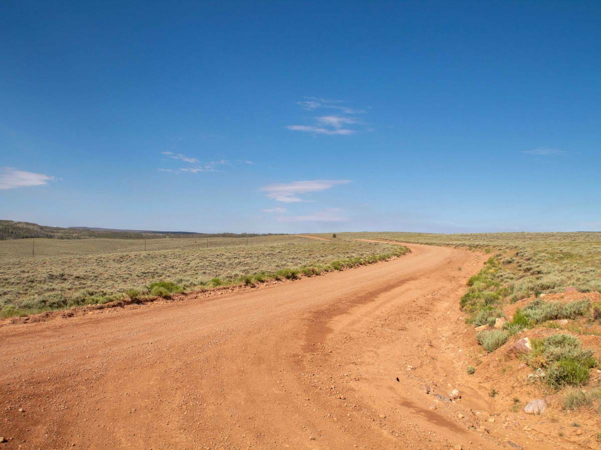
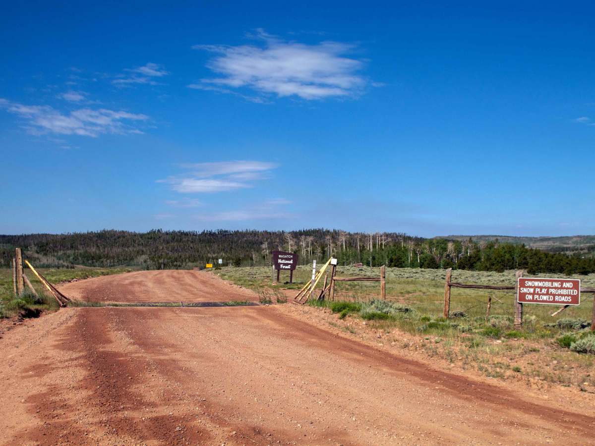
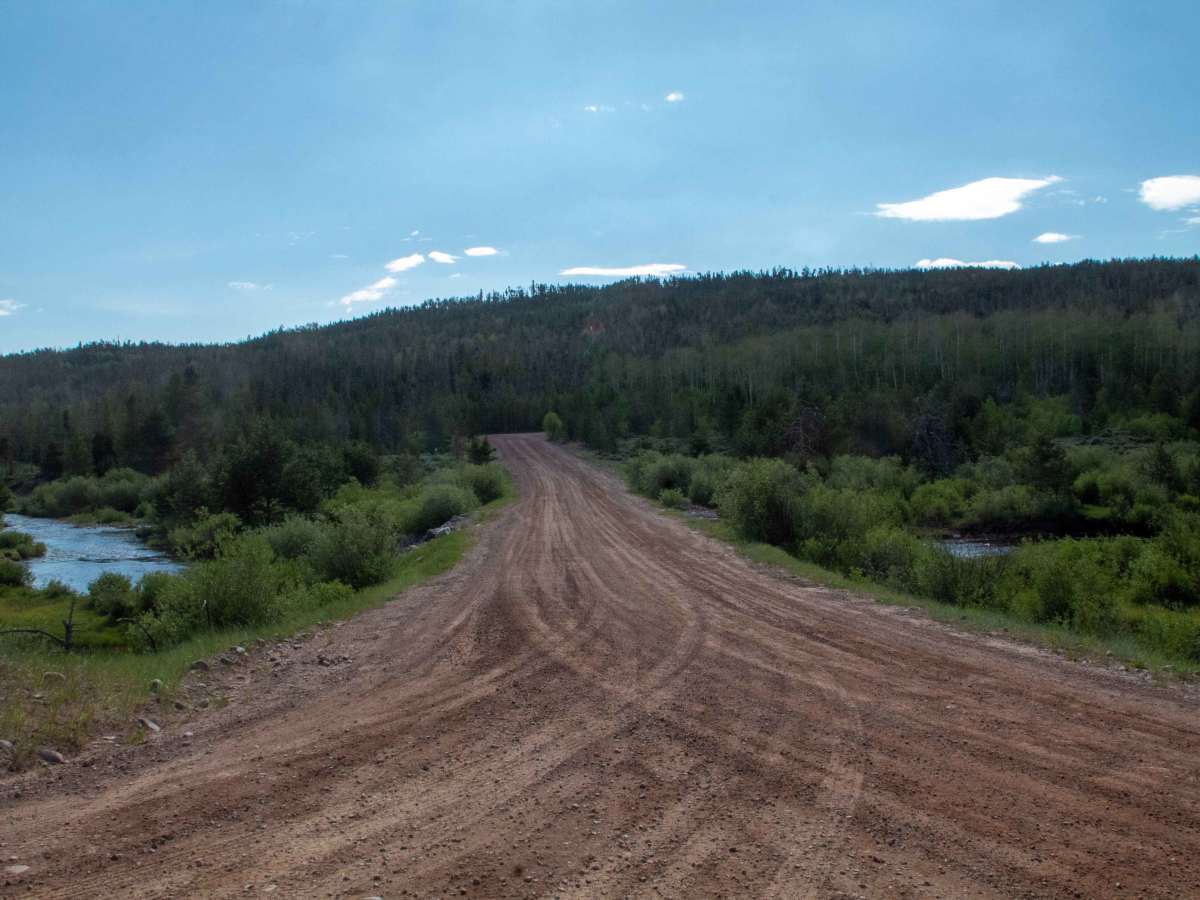
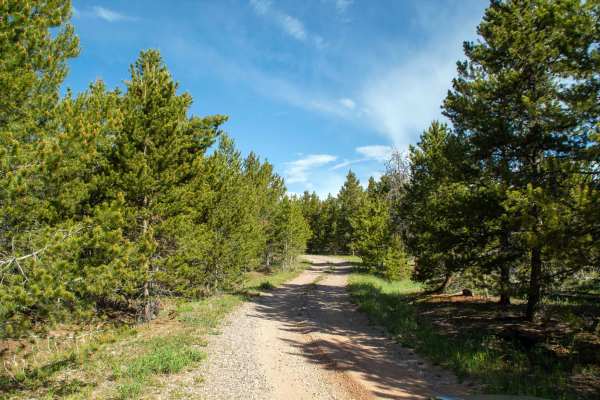
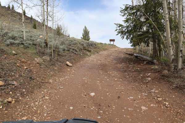
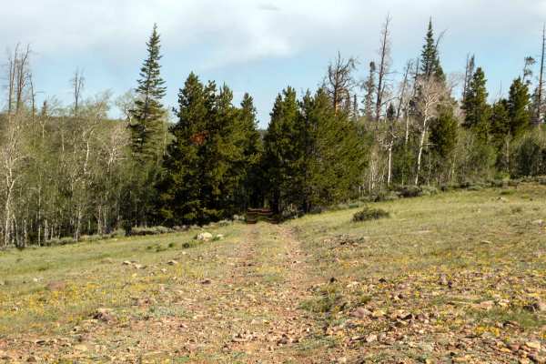
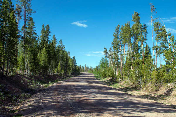
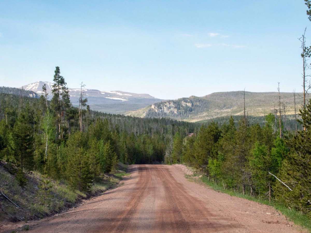
This trail runs from just across the Wyoming border, following Henry's Fork River down to where it ends at Henry's Fork trailhead. This trail is a well-maintained gravel road with room to pass other vehicles through most of the trail. Once you pass by the turn heading to Hole in the Rock, the trail narrows a little and becomes busier as it passes through the horse trailhead as well as camping areas. This trail mainly stays out in the open, allowing for plenty of views, with the narrows being a unique spot along the trail to stop and view. North of the split for Red Mountain, this trail is only open to highway-legal vehicles, but South of Red Mountain, the trail is open to all vehicles. There is no seasonal closure date for this road, but it may be impassable due to snow during the winter and early spring months.

Photos of Henrys Fork - FS 80077

Difficulty

Well-maintained gravel road with plenty of room to pass other vehicles throughout the trail.

Technical Rating

1

Henrys Fork - FS 80077 Trail can be accessed by the following ride types:

  • Single Track
  • 50 Inch
  • 60 Inch
  • High Clearance
  • Full Width

Henrys Fork - FS 80077 Map

The onX Offroad Difference

onX Offroad combines trail photos, descriptions, difficulty ratings, width restrictions, seasonality, and more in a user-friendly interface. Available on all devices, with offline access and full compatibility with CarPlay and Android Auto. Discover what you're missing today!

Open Trail Map