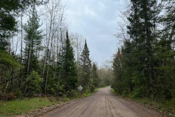
Trail Overview
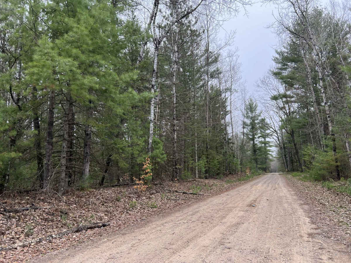
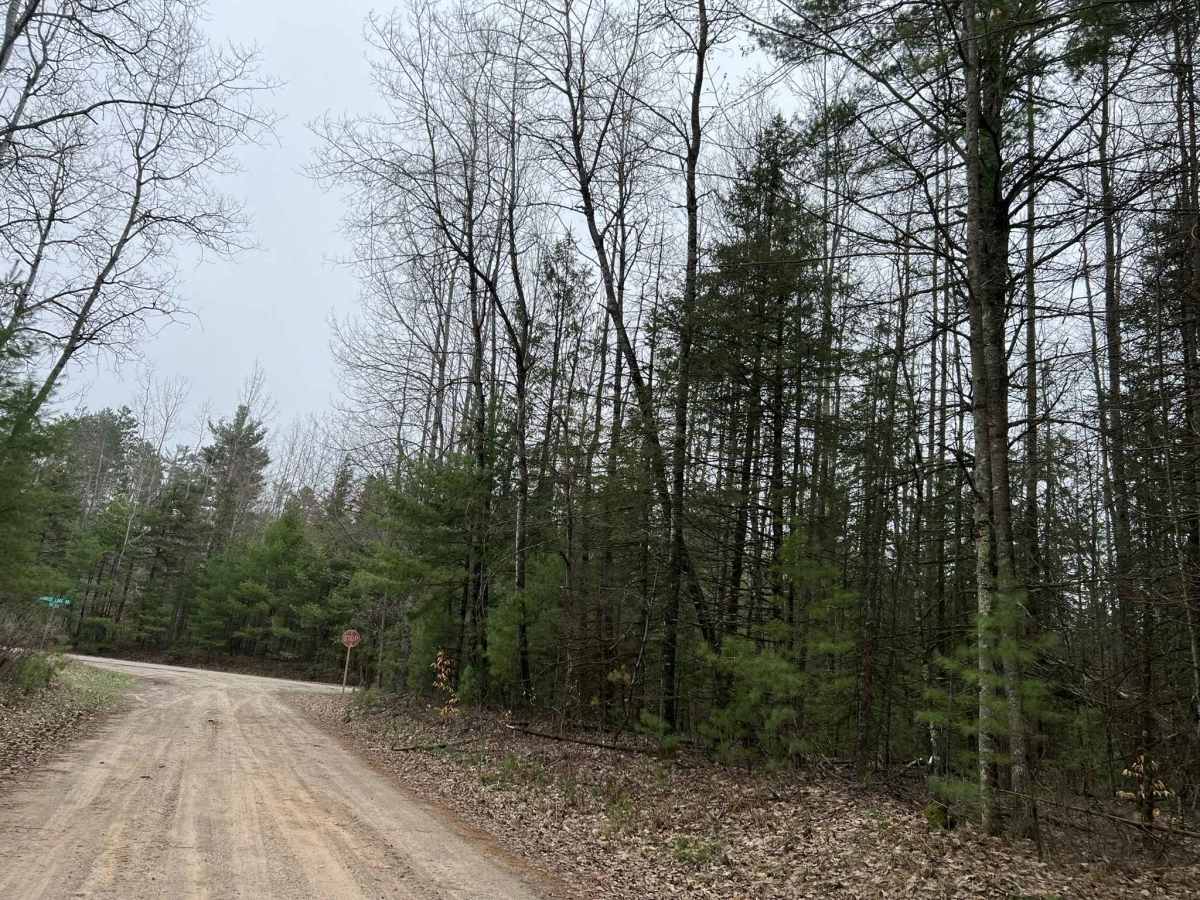
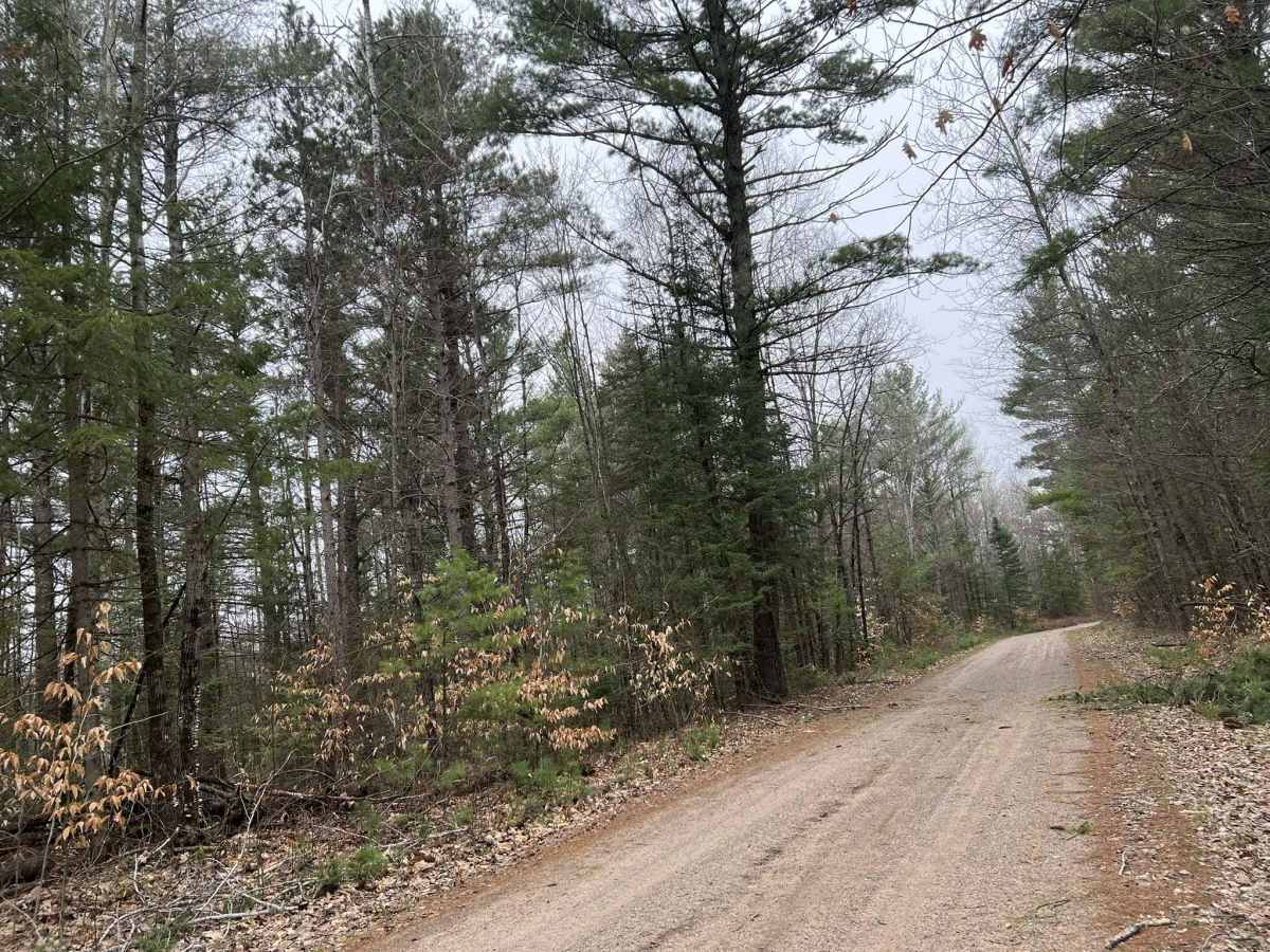
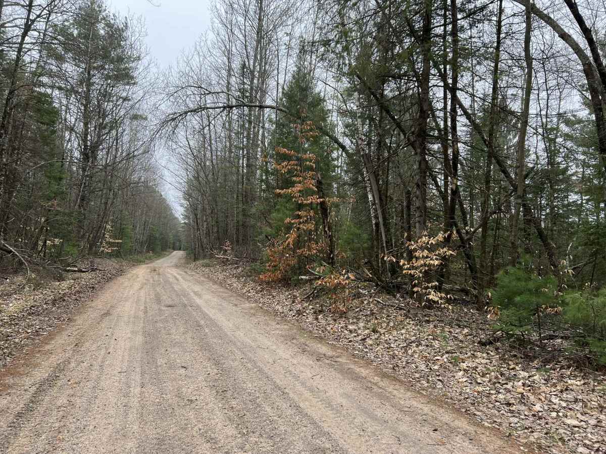
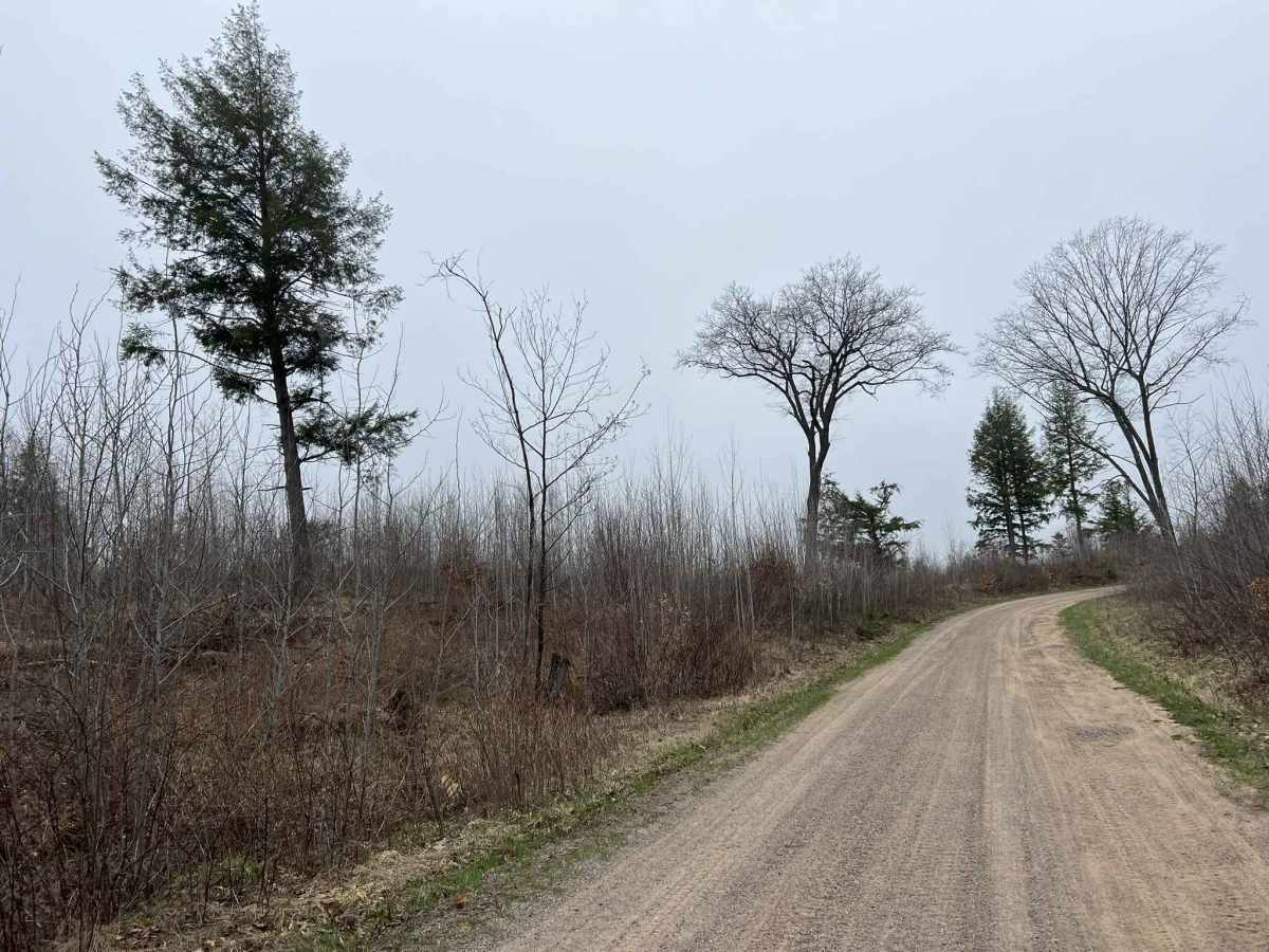
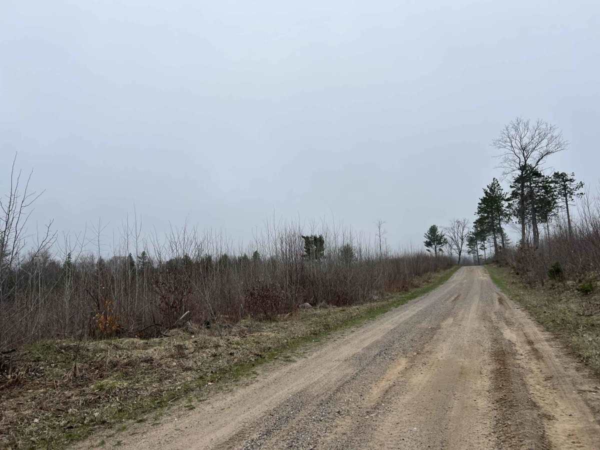
McCauley Creek Road FS 2321 begins at its intersection with Sunrise Lake Road FS 2319, and travels to Tar Damn Road 2104. This trail is one of the higher-traffic, well-maintained forest roads in the area. It allows access to several more remote trails in this section of the Nicolet National Forest. The trail is wide enough for two vehicles; some areas will require vehicles to slow down to allow for passing as the trail changes width several times. The scenery around the trail is rolling hills, in combination with old-growth hardwoods and pines. There have also been several areas of this trail that have been recently logged off, which allow for excellent views of the overlooking landscape. Cell service throughout this region is generally good. This trail is open to mixed traffic as it is legal for road-going vehicles, as well as OHVs, to navigate.
Difficulty
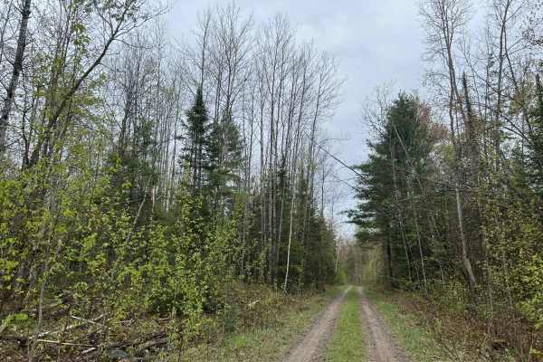
This trail can be easily navigated by riders of any experience level. Like most trails in this area, the trails are maintained but not on a regular basis. After heavy rain, washouts and soft spots in the trail can be expected. Additionally, there is always the chance of debris washing onto the trail from the surrounding hills or falling onto the trail from the surrounding trees. The trail has good sight lines throughout; the trail width changes several times from two vehicles wide to one vehicle wide.