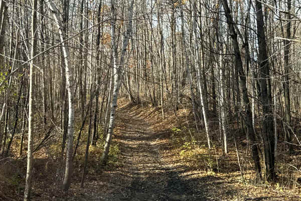
Trail Overview
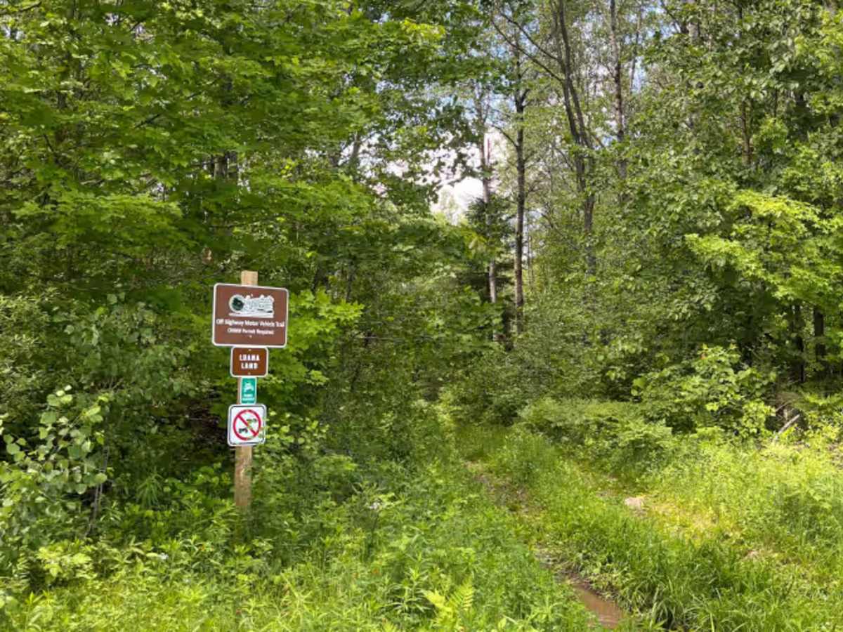
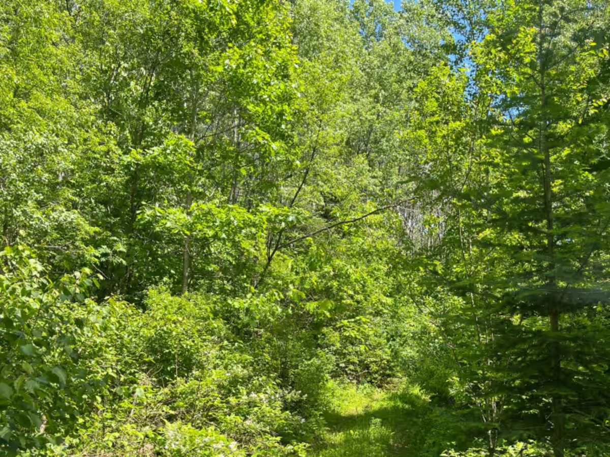
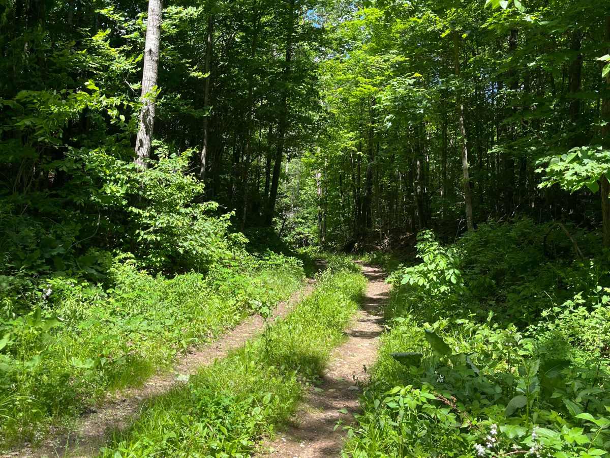
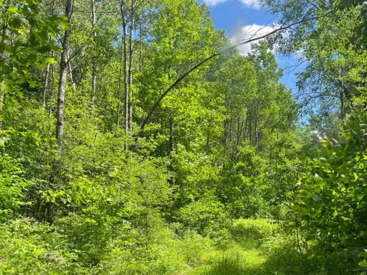
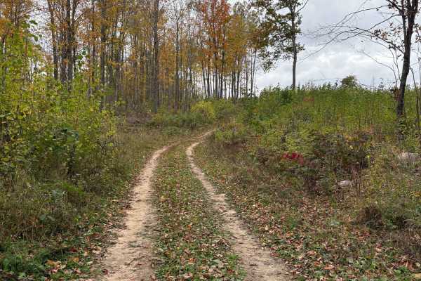
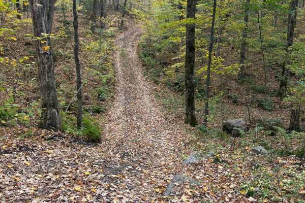
Nice, meandering, scenic, hard-pack two-track with slight elevation changes. Can be slick when wet and seasonally brushy. Combine this easier trail with other trails in the trail network to make a trail ride of your chosen challenge level.
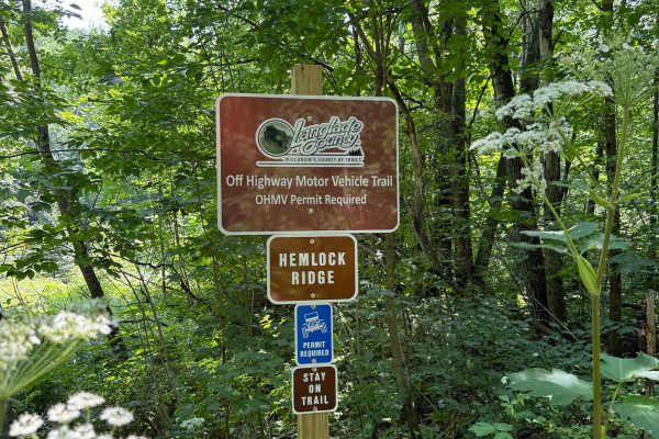
PERMIT REQUIRED. Part of the West Evergreen OHMV trail network in Langlade County.
For public service announcements, trail openings and closings, permit purchase info, and official trail map. See https://www.langladeforestryandparks.com/parks/recreation/page/off-highway-motor-vehicles/
LANGLADE COUNTY LEGEND:
Green = Easiest, Blue = Moderate, Black = Most Difficult, Pink = Shared/Access(Autos, Logging, ATV, UTV, Equine, Etc.)
History
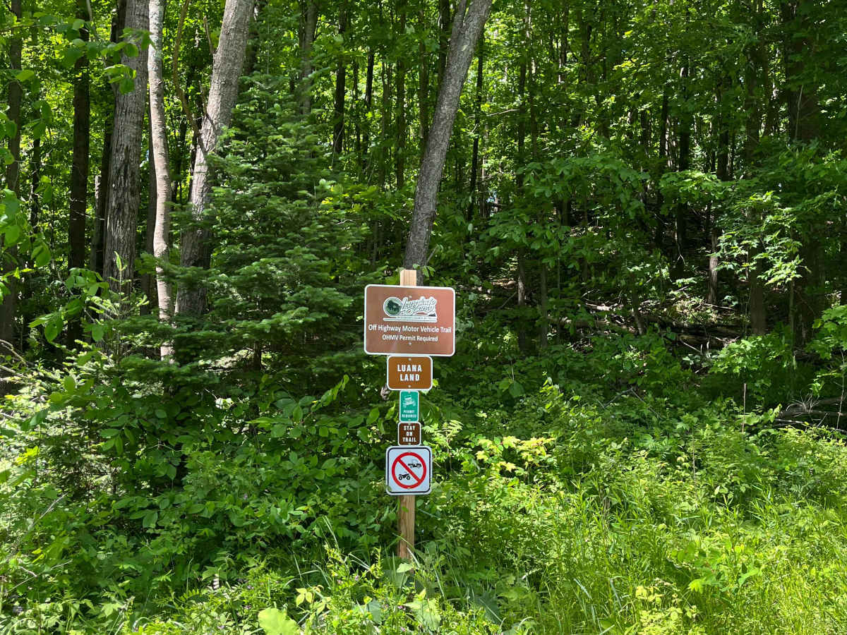
This trail was named after Luana Schneider. (CB handle - Lippy, because she was never at a loss for words) Luana was a champion for the Four Wheel Drive community on the local, state, Midwest, and national levels. She was instrumental in the creation of and sat in the first seat on the Wisconsin State Trails Council for full-size four-wheel drives. She worked tirelessly to gain access to public lands and fought to keep trails open. She was part of the Langlade project until her passing in Dec of 2024. She is owed a debt of gratitude for paving the way for projects like this. I'll sign this the way Luana signed every letter... 4 wheelin 4 ever, Luana Schneider