Trail Overview
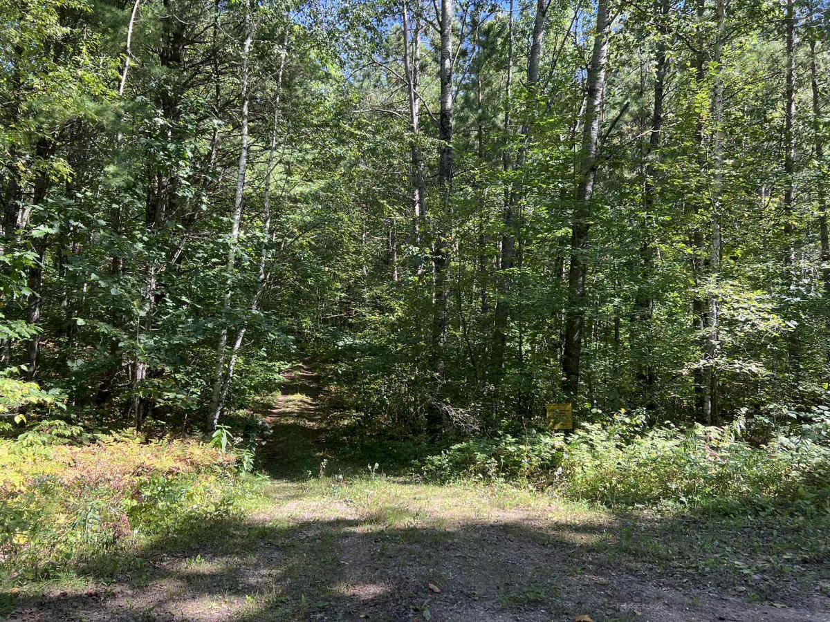
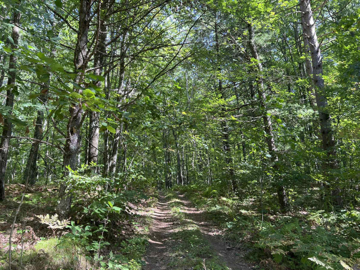
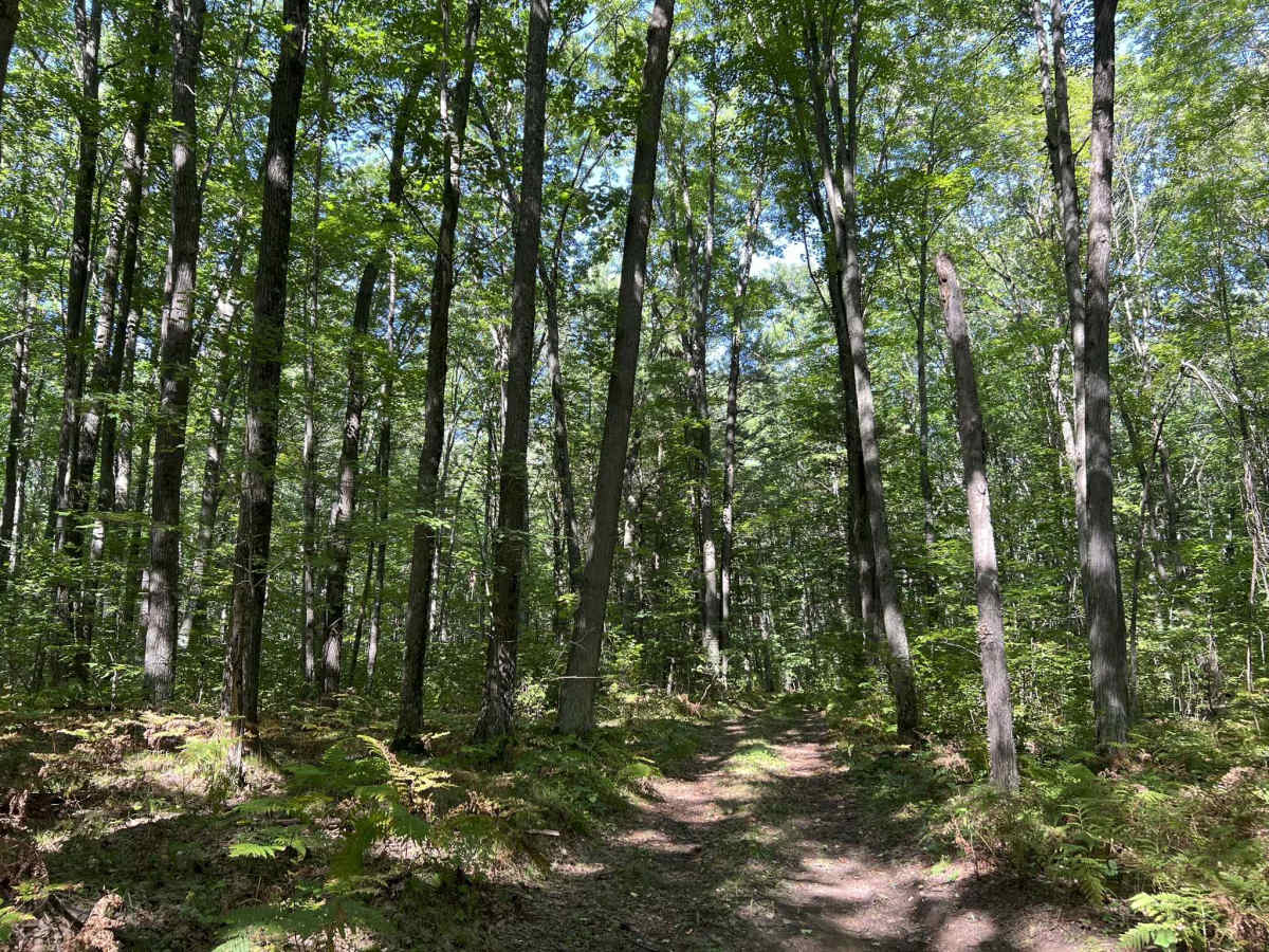
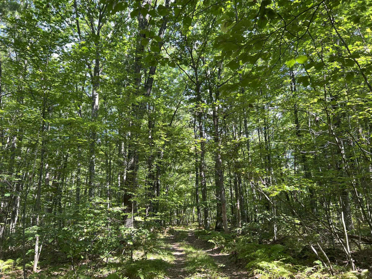
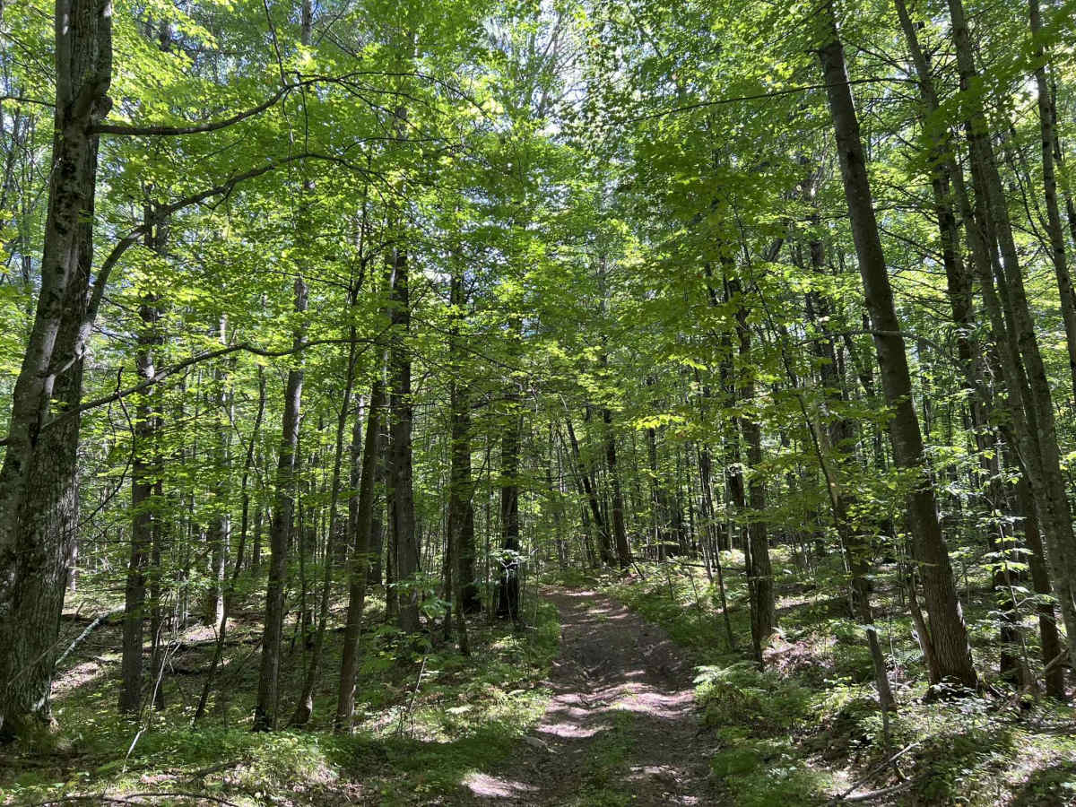
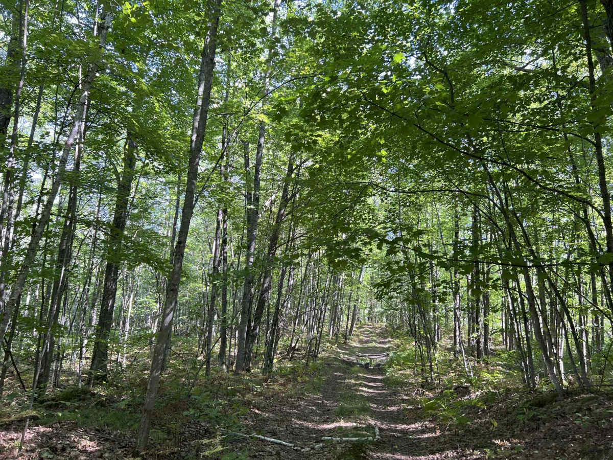
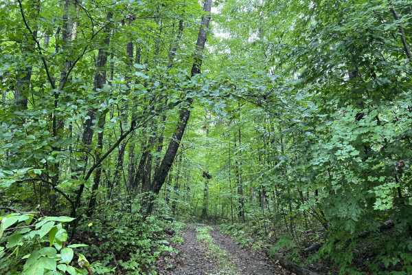
FS 2259L is a two-track trail that can be combined to make a full point-to-point trail rather than just an out-and-back. These trails run from Peek Road - FS 2259 to Bucks Ranch Road. This two-track trail has a hard-packed dirt base, with moderate to tall grass growing in the center of the trail. The trail has several mild hill climbs that are rutted and washed out. These ruts and washouts are the tire-track width of a typical SUV or small truck, and are on average 6 inch deep. There are several mud holes located along the length of the trail that average 4-8 in deep. These all have a hard bottom, but some have some small rocks and branches under the water line. There are several dead trees that overhang the trail and could cause issues for vehicles with roof heights beyond normal. The scenery around this trail is gentle rolling hills, as well as some large bowls. There is a variety of hardwoods, and even some birch trees spread throughout. In addition, there is a variety of pine trees. Overgrowth along the trail is relatively limited, but is dense in a few short sections of the trail. It is not uncommon for this overgrowth to begin encroaching on the trail. Cell service in this area can be spotty depending on carriers. It is best to see what the service for your carrier is in this area using the specific area, or travel with downloaded maps.
Difficulty
This is a packed dirt trail with a handful of mud holes, small ruts, moderate hill climbs, and several washouts. Mud holes and rut depth are typically under 8" in depth, but depending on the amount of recent rainfall, there could be an isolated 10" plus of depth. This is uncommon but is possible. Mud holes and ruts have a hard bottom. The trail is only wide enough for one vehicle in most areas and will require vehicles to reverse to a clearing in order to safely pass.



 Offroad