County Road O

Total Miles3.3
Technical Rating
1Easy
Best TimeSpring, Summer, Fall
Trail TypeFull-Width Road
Accessible By
Open Trail Map

Trail Overview

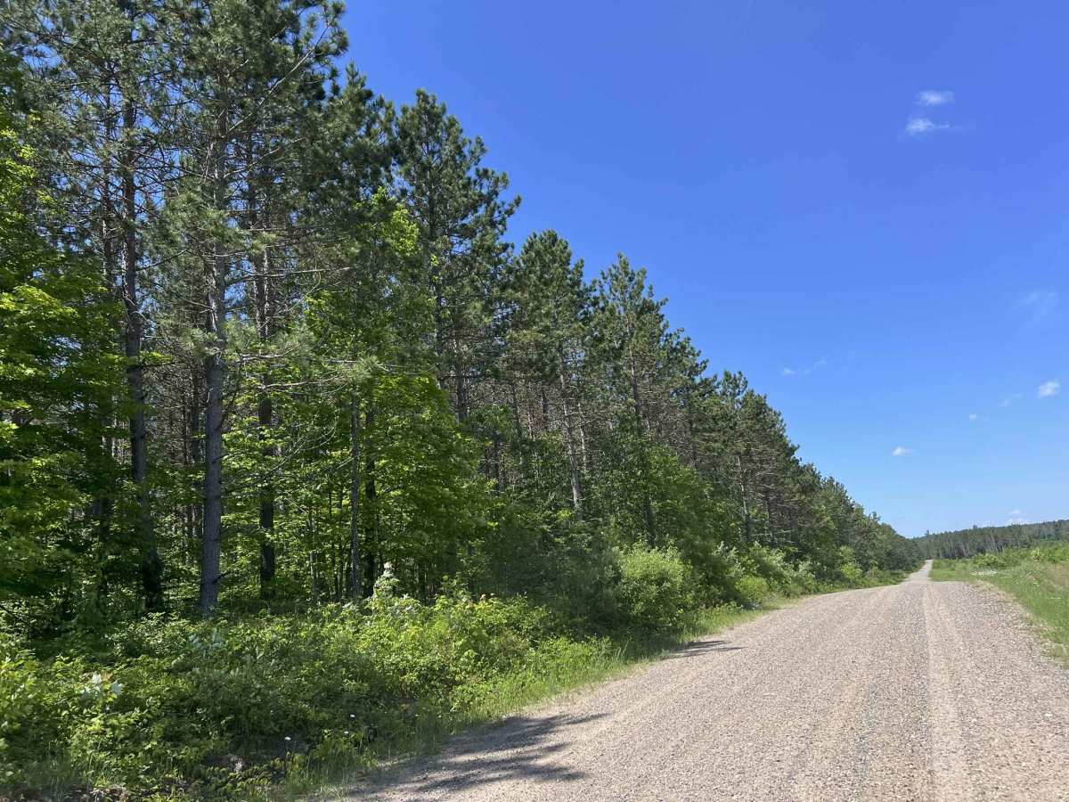
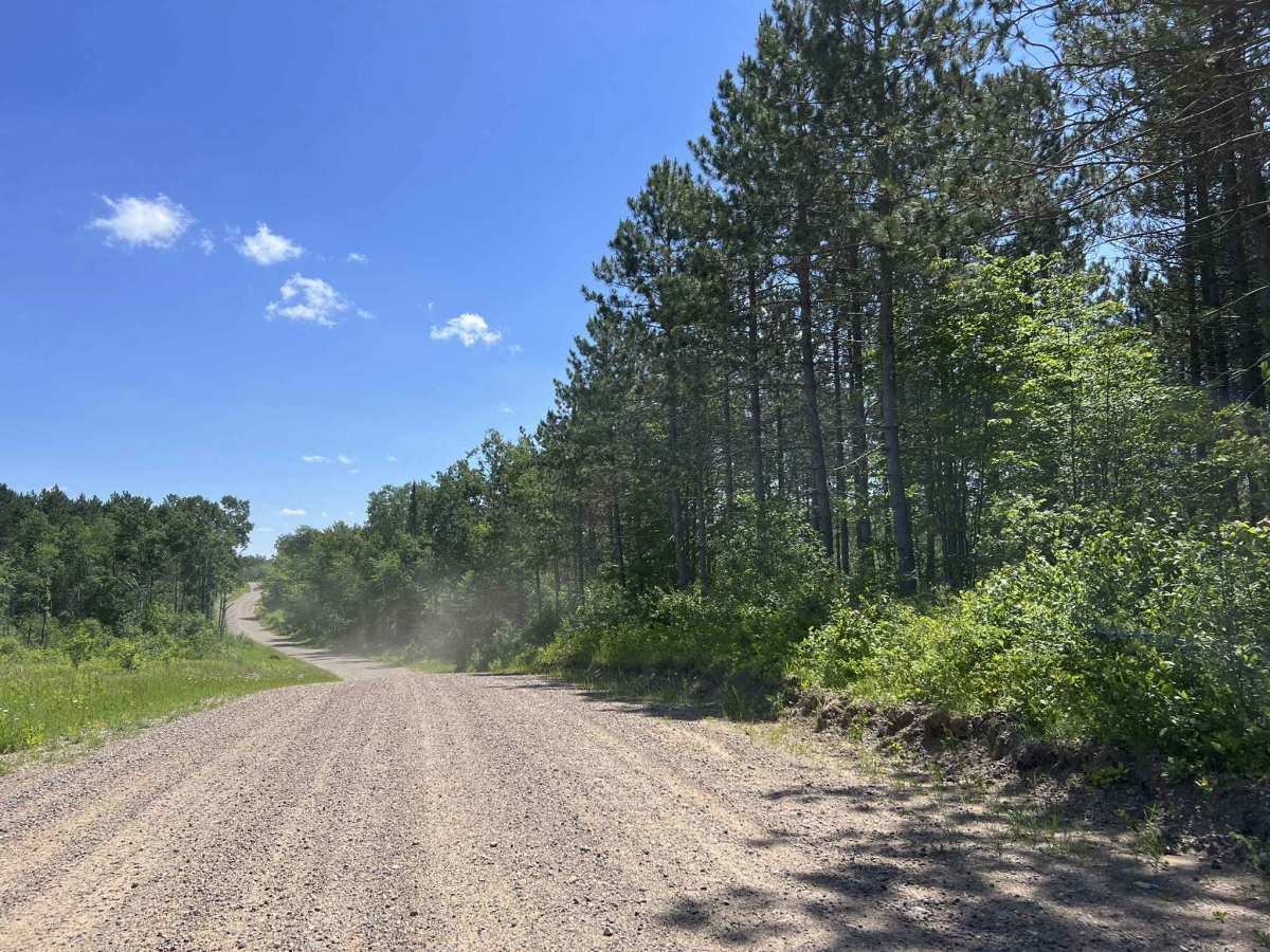
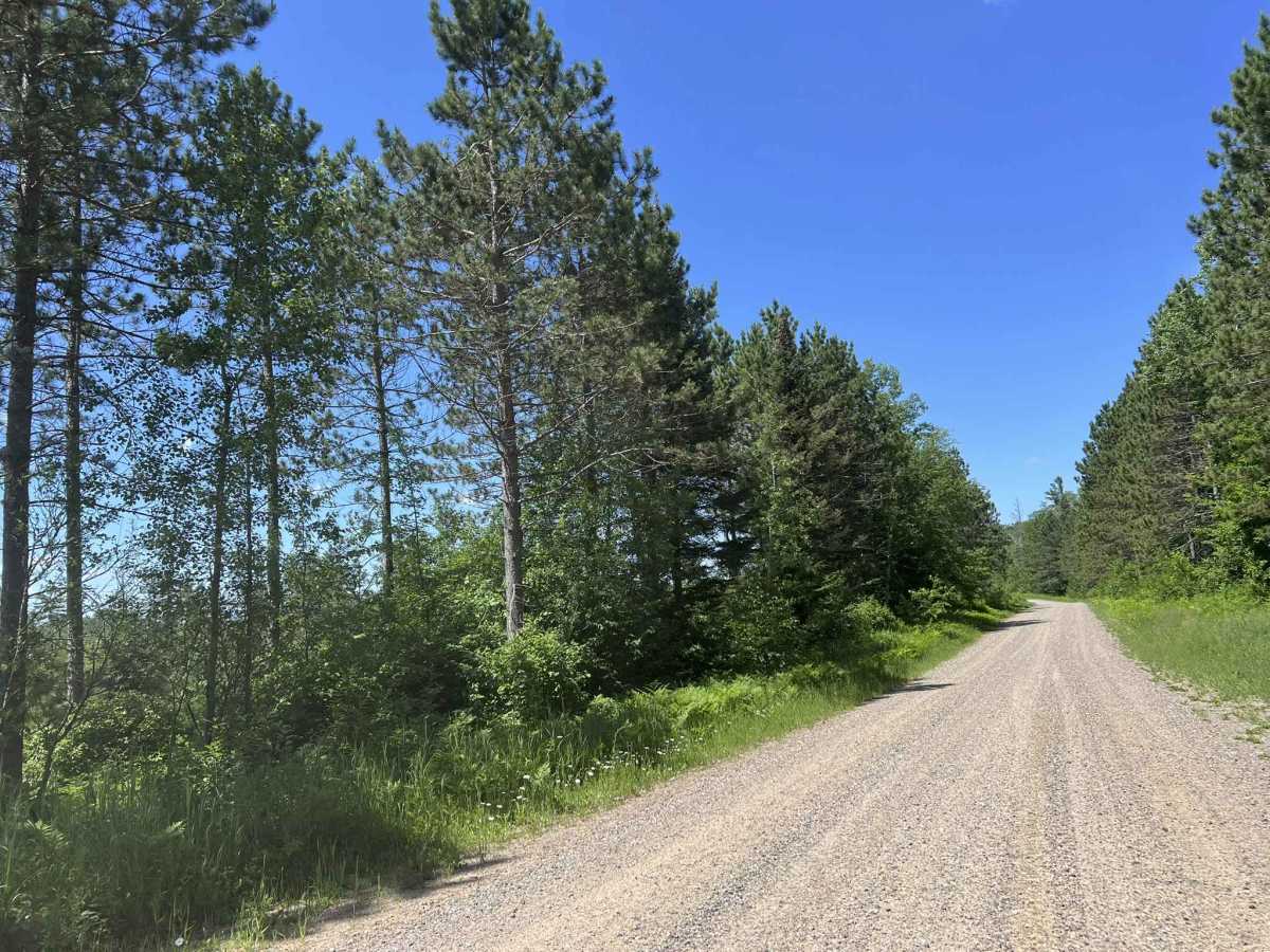
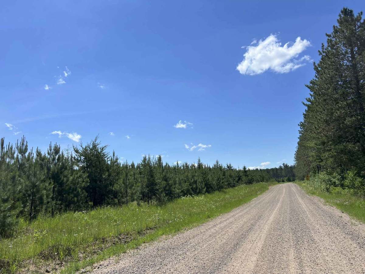
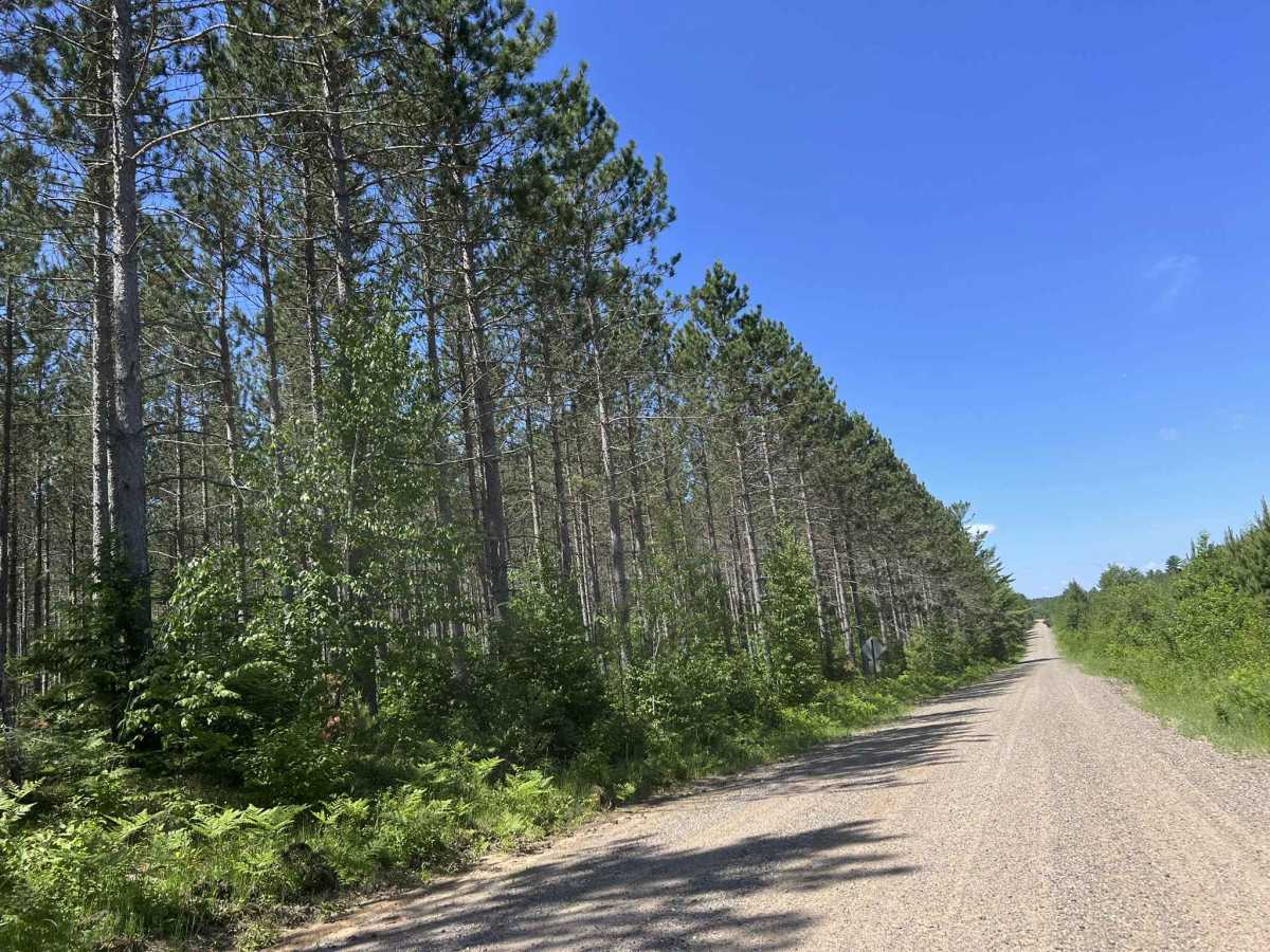
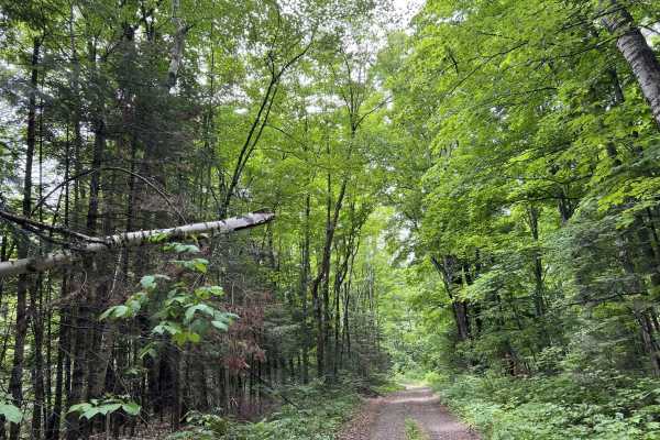
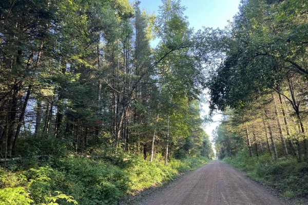
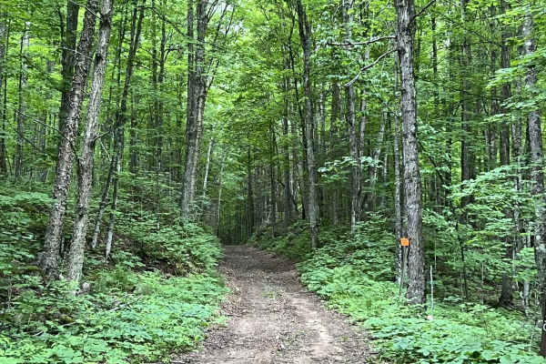
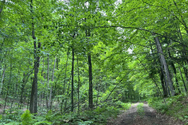
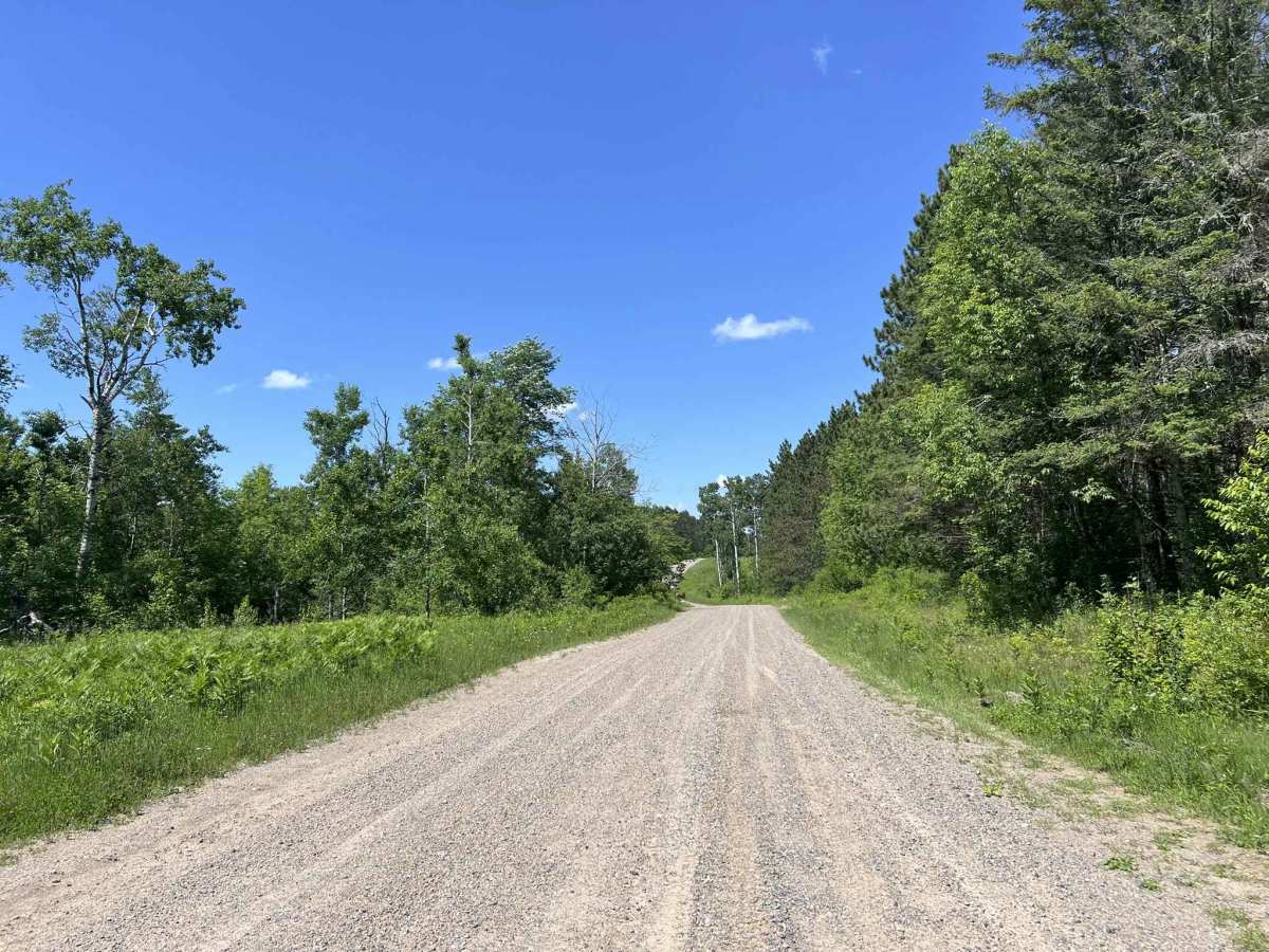
This is the unpaved or gravel portion of County Rd O. This trail begins at roughly 1/2 mile from its intersection with Highway 139 and navigates southwest to where the pavement resumes, roughly 1 mile north of Highway 8. This is a scenic rolling hills trail that navigates through logging country. There are several plots that are clear-cut along this trail, which allows for excellent views and visibility as the trail navigates the rolling topography. This trail is also great for ATV and SxS riders looking to stay off the pavement when trying to navigate to the trails located in the nearby section of county forest land from the Nicolet State Trail. The trail is wide and could be fast-paced. The surface is loose gravel, which can lead to a large amount of dust being created, as well as some areas developing washboards. There are many private properties located around this trail, so traffic on the trail can be heavier at times. Cell service in this area is generally acceptable, but service can become spotty and/or slow in the summer months due to increased demand from tourists.

Photos of County Road O

Difficulty

This is an easy trail that is two lanes wide for its entire length. There are typically no water crossings or mud holes present on the surface. High dust and washboards are likely when the trail surface is dry. Sight lines are great.

Technical Rating

1

County Road O Trail can be accessed by the following ride types:

  • 50 Inch
  • 60 Inch
  • High Clearance
  • Full Width

County Road O Map

The onX Offroad Difference

onX Offroad combines trail photos, descriptions, difficulty ratings, width restrictions, seasonality, and more in a user-friendly interface. Available on all devices, with offline access and full compatibility with CarPlay and Android Auto. Discover what you're missing today!

Open Trail Map