Q38

Total Miles0.4
Technical Rating
2Easy
Best TimeSpring, Summer, Fall, Winter
Trail TypeFull-Width Road
Accessible By
Open Trail Map

Trail Overview

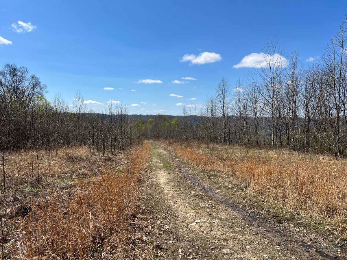
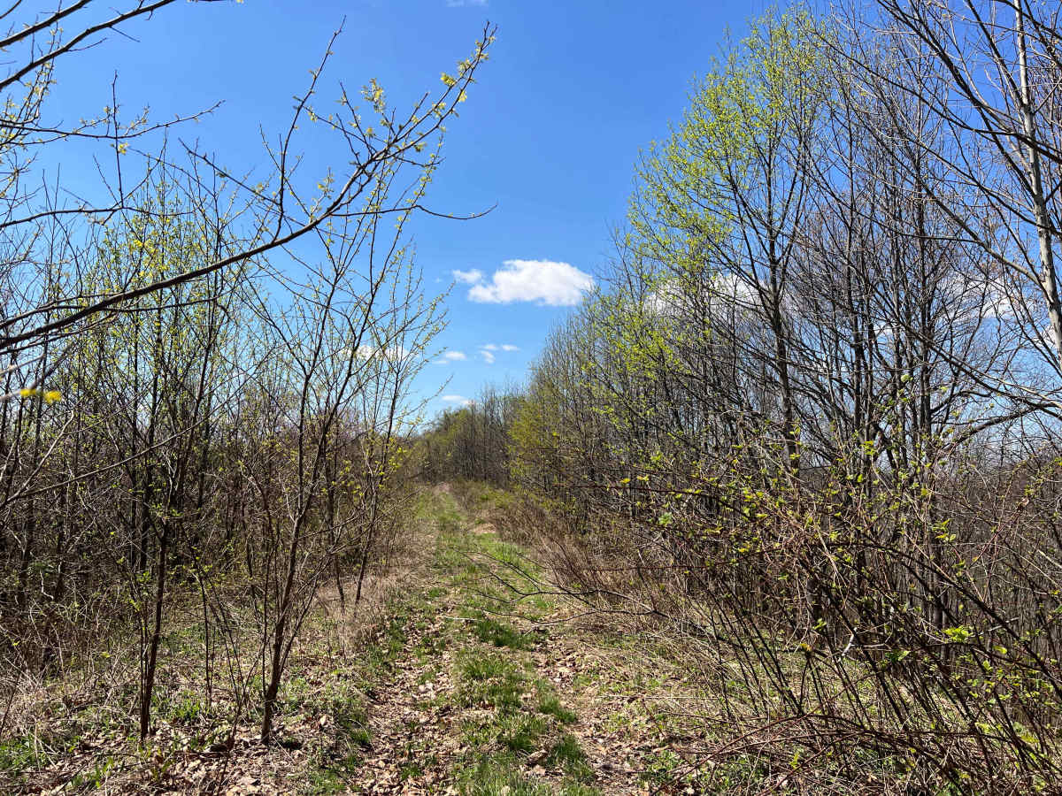
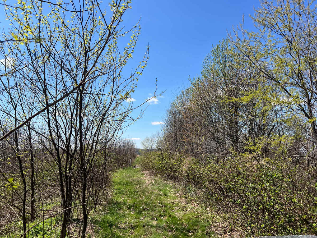
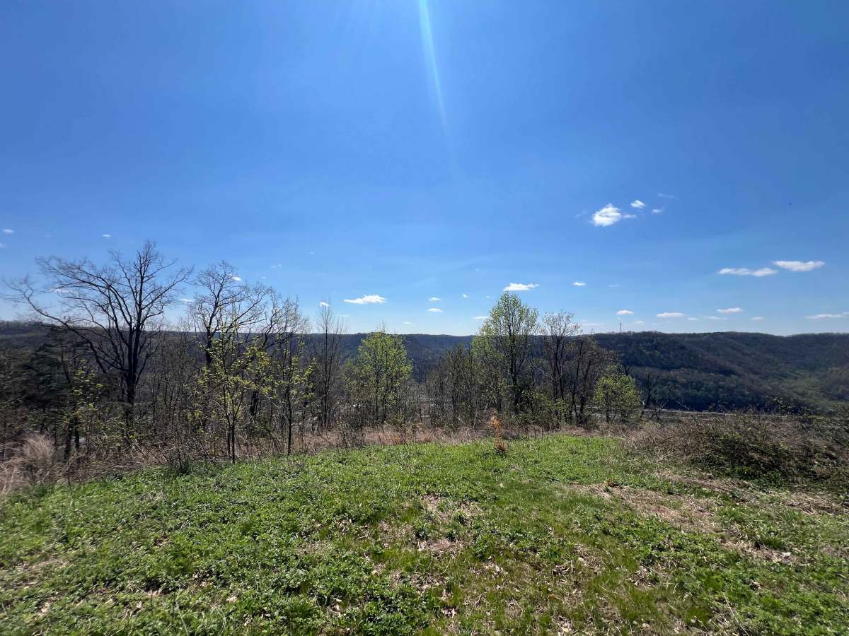
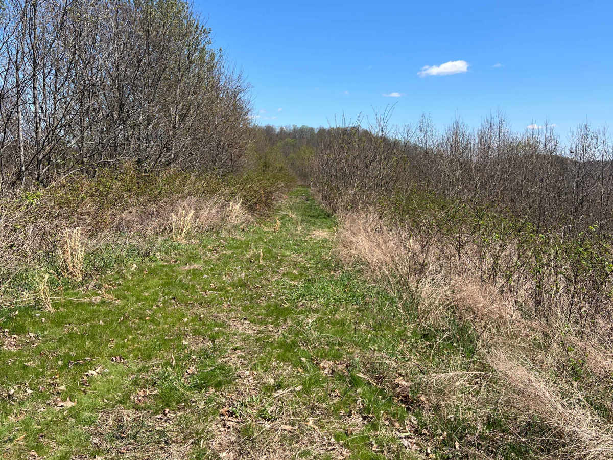
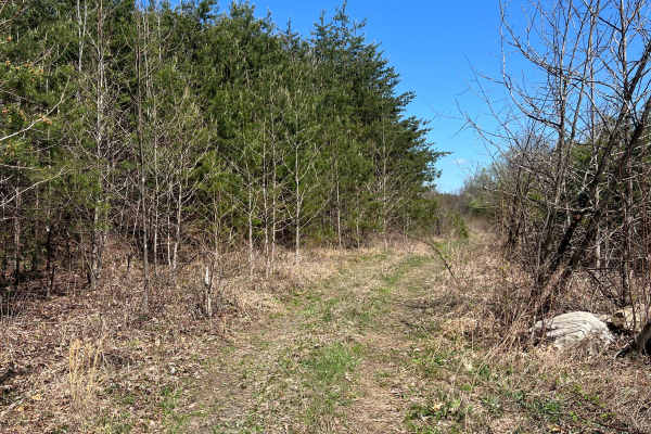
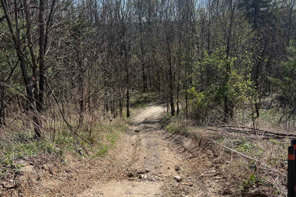
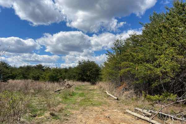
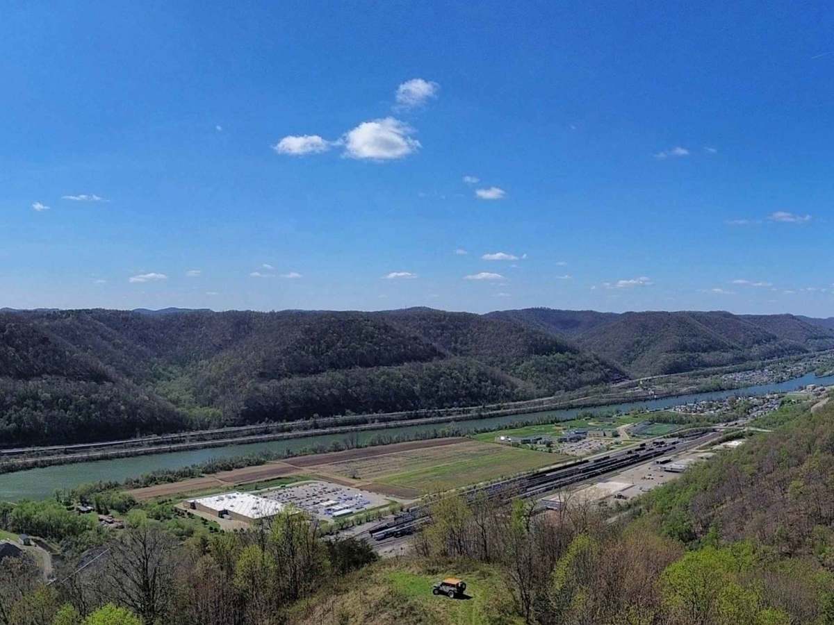
Trail Q38 is a narrow, relatively flat ride along a ridge and pipeline right of way in the Quincy Sector of AOT. The trail may be overgrown with briers and other vegetation. The very end opens up to a grassy knob with an overlook facing west, which offers views down to the Quincy Coal Company and the Kanawha River. A bridge across the river can also be seen prominently from this vista. While the majority of the trail is narrow and requires careful navigation, there is room to comfortably turn around at the knob/vista.

Photos of Q38

Difficulty

The trail is very narrow and has a steep drop-off on either side in most places. The vegetation may be overgrown along the majority of the route.

Technical Rating

2

Q38 Trail can be accessed by the following ride types:

  • Single Track
  • 50 Inch
  • 60 Inch
  • High Clearance
  • Full Width

Q38 Map

The onX Offroad Difference

onX Offroad combines trail photos, descriptions, difficulty ratings, width restrictions, seasonality, and more in a user-friendly interface. Available on all devices, with offline access and full compatibility with CarPlay and Android Auto. Discover what you're missing today!

Open Trail Map