Trail Overview
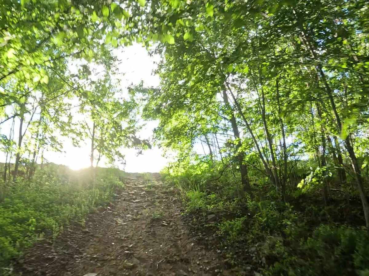
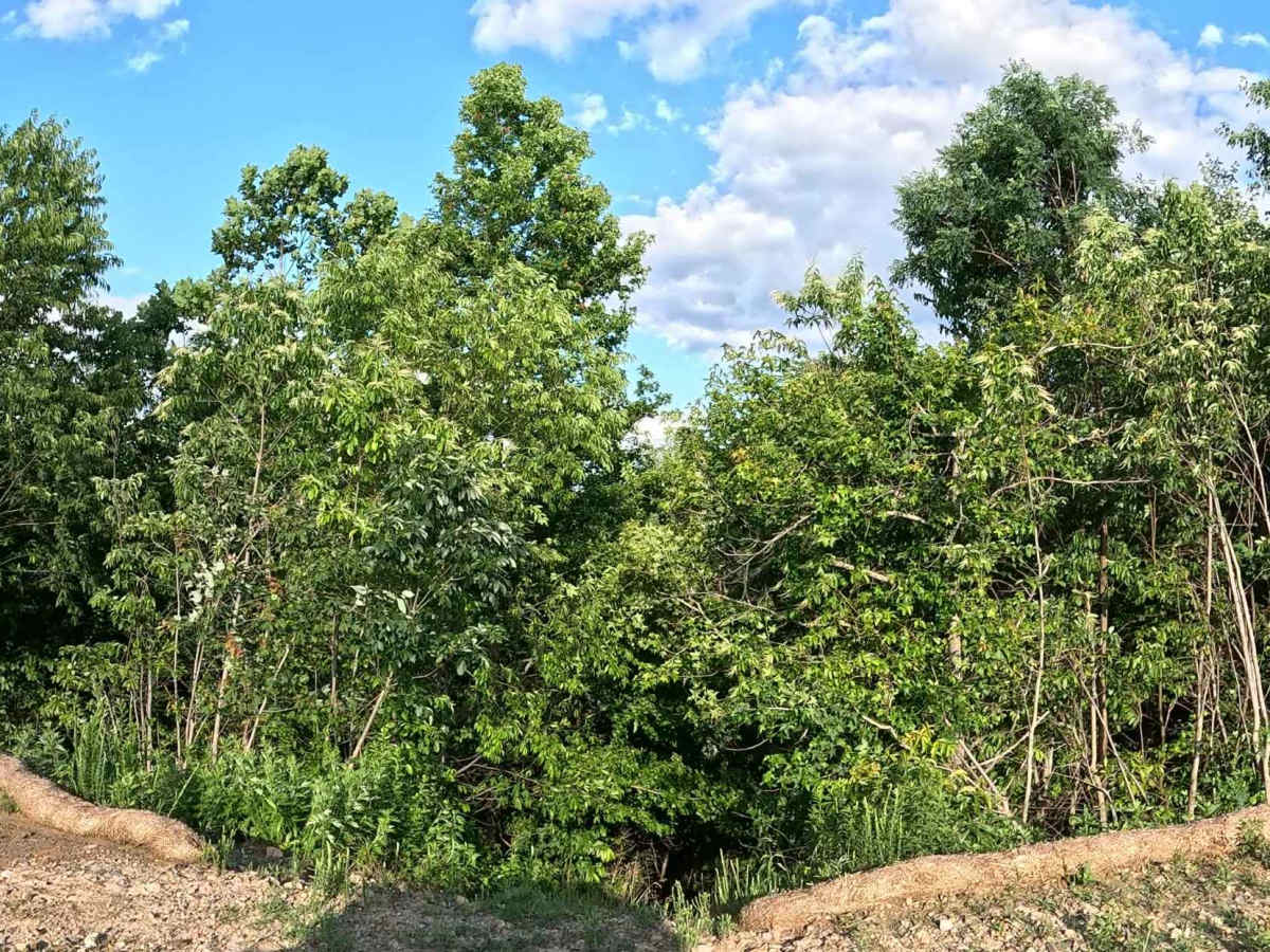
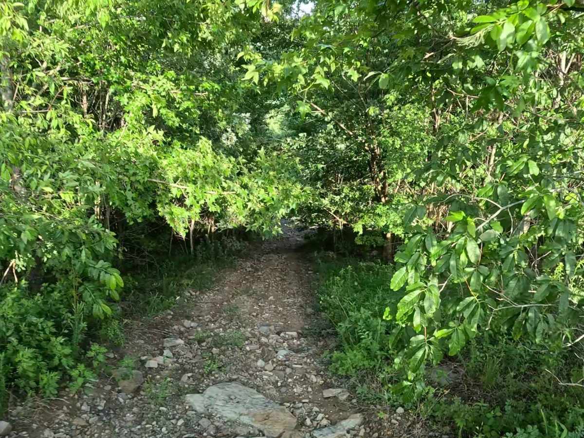
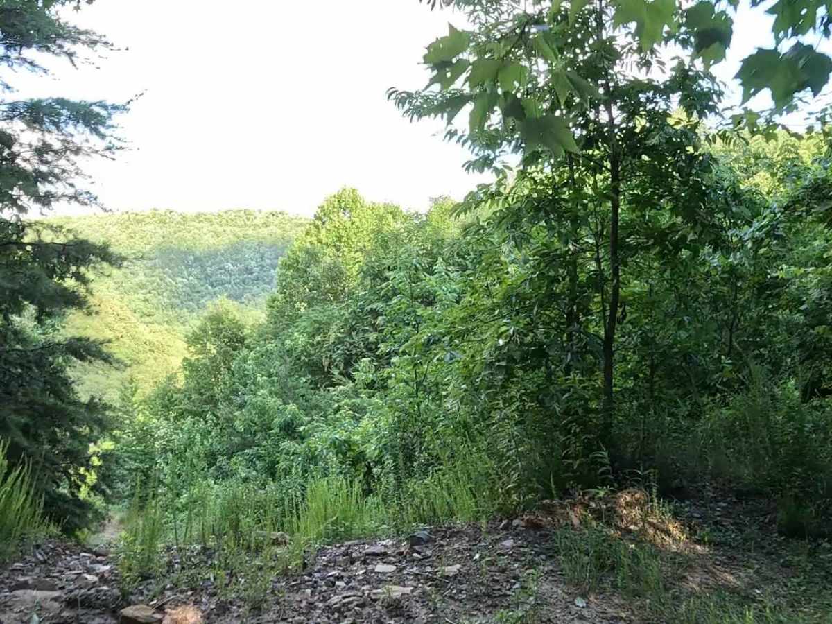
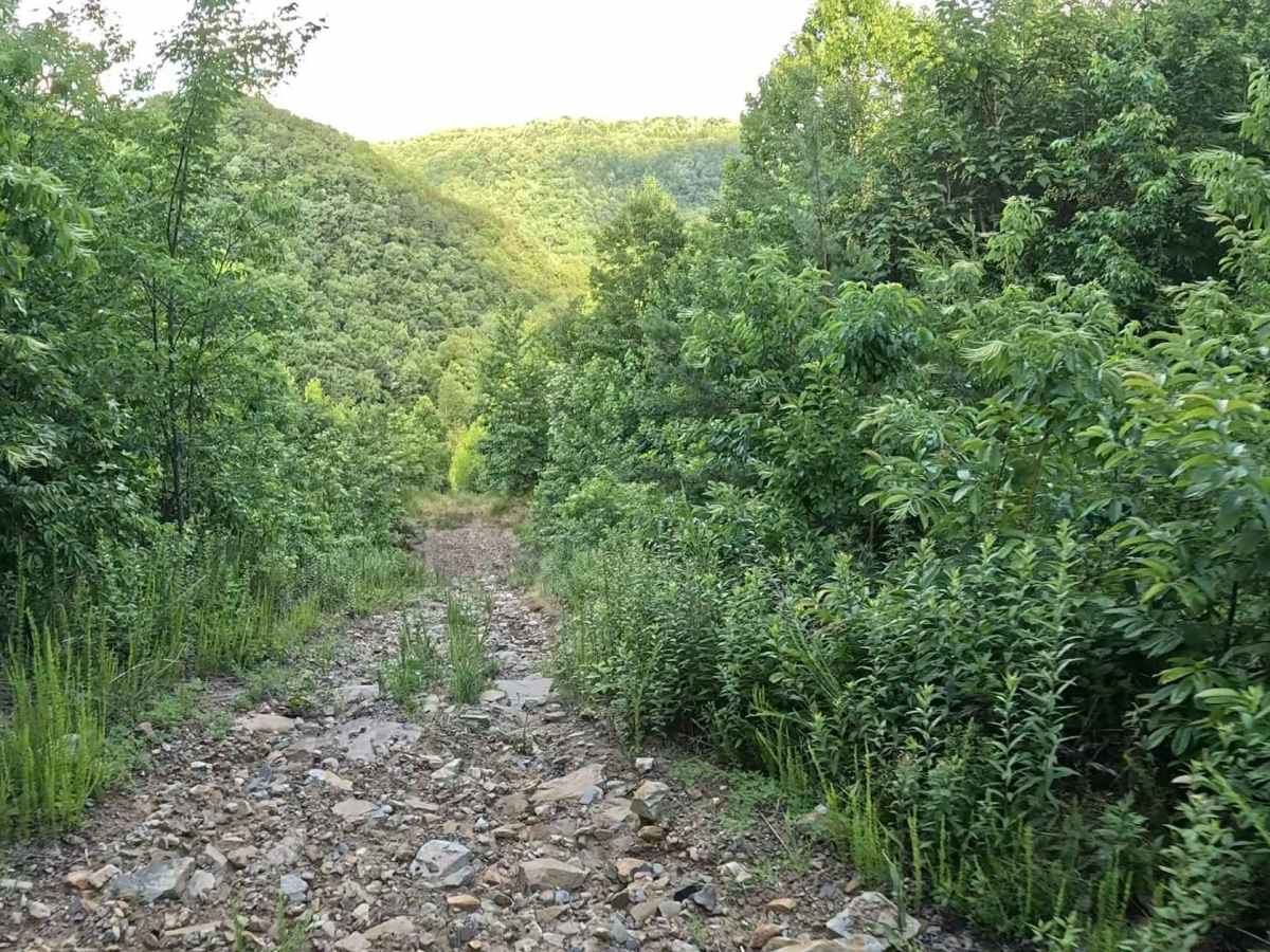
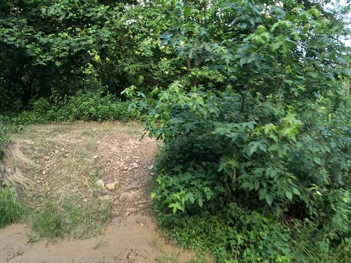
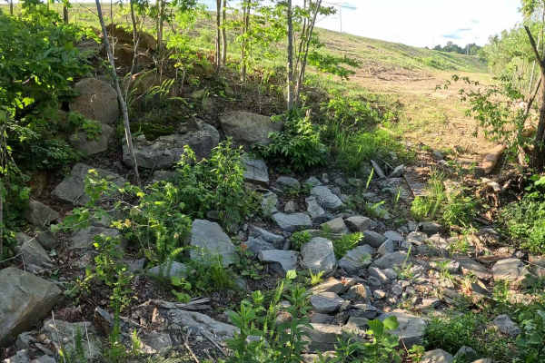
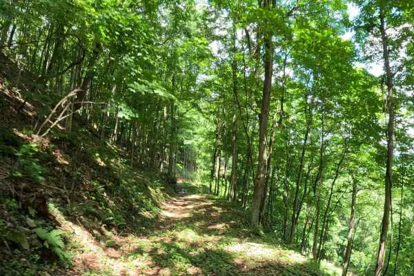
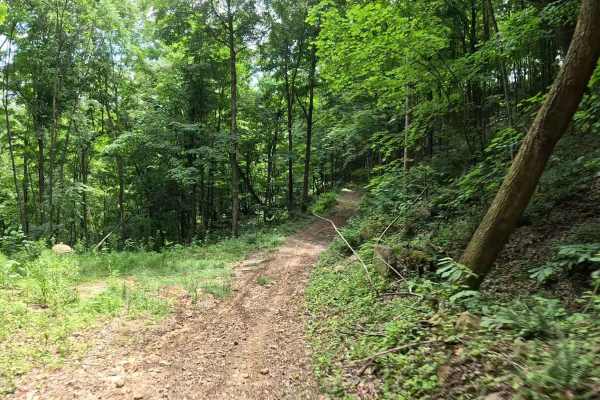
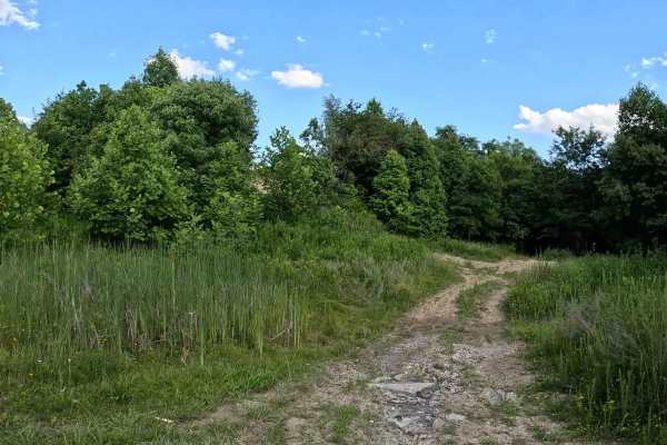
Q19 is a difficult connector trail linking Q10 at the bottom of the hill to Q25 at the top. The trail features a sustained seven-tier hill climb (or descent, depending on direction of travel) and is intended for experienced drivers. The trail consists of loose gravel, exposed rocks, and dirt with steep grades throughout the climb. The seven distinct hill sections require careful line selection, controlled throttle input, and maintaining momentum in the appropriate locations.
Difficulty
Difficult (Black). Technical terrain including steep grades, loose gravel, exposed rocks, and sustained hill climbs. Best suited for experienced drivers in 4WD, high-clearance vehicles. Trail conditions can change dramatically with the weather. Rain can create muddy surfaces, reduce traction on the loose gravel and rocks, and significantly increase the difficulty of both the climb and descent. Be alert for other vehicles attempting the hill, particularly where visibility is limited.