Q25A

Total Miles0.1
Technical Rating
4Moderate
Best TimeSpring, Summer, Fall, Winter
Trail TypeFull-Width Road
Accessible By
Open Trail Map

Trail Overview

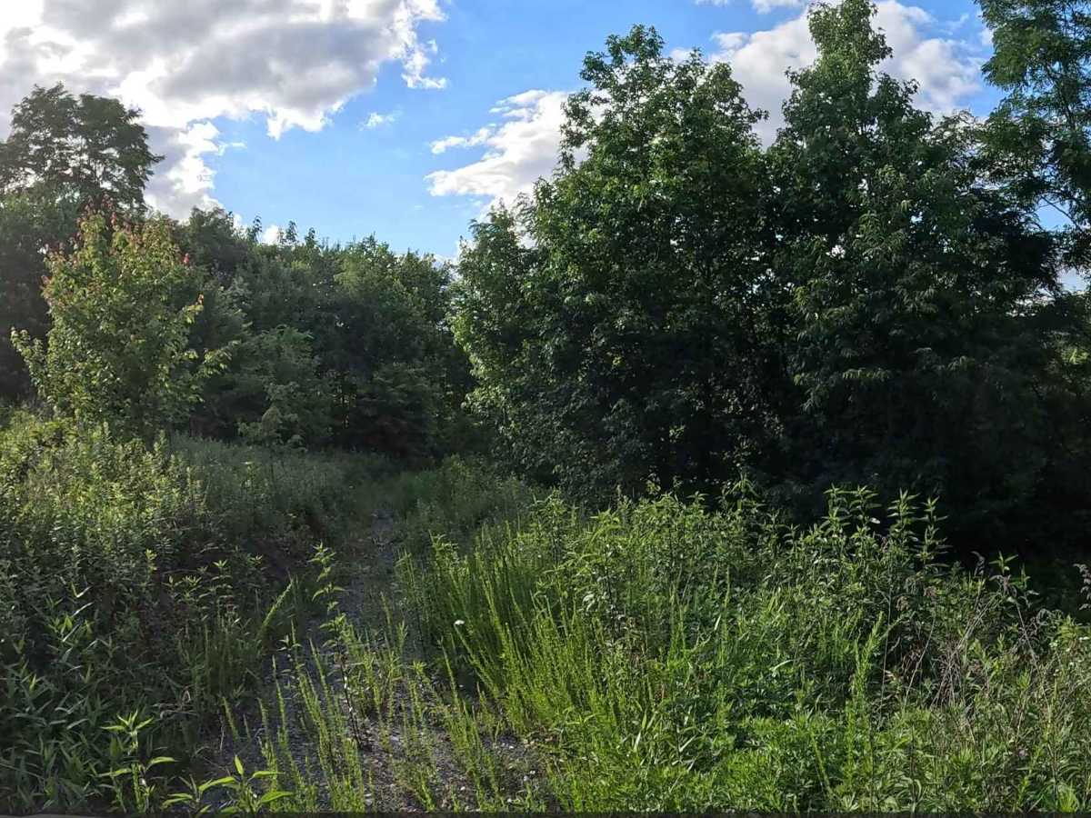
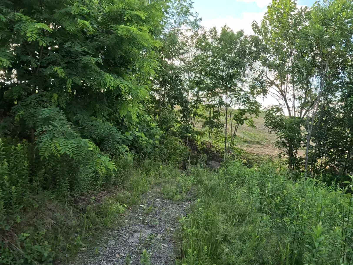
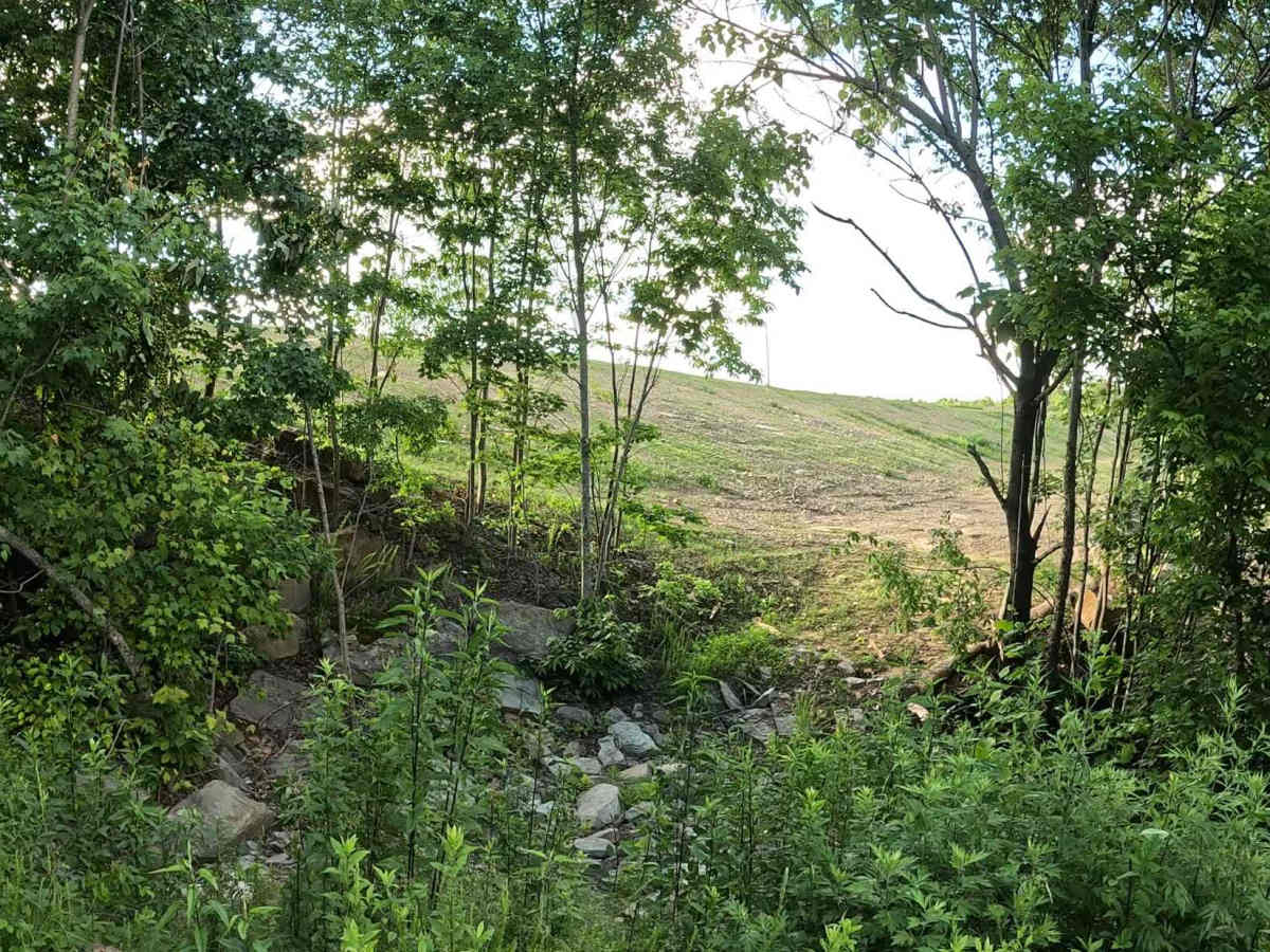
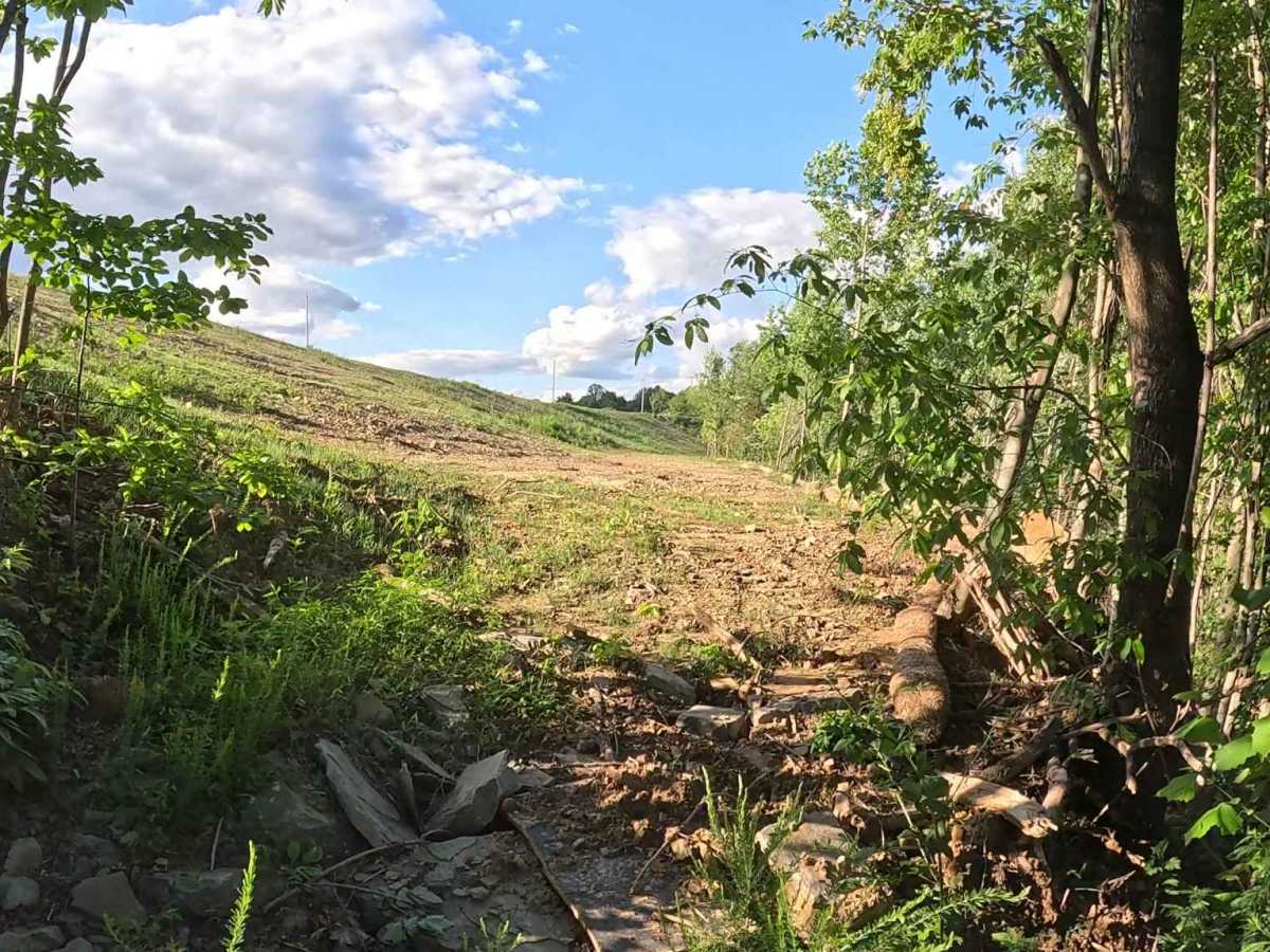
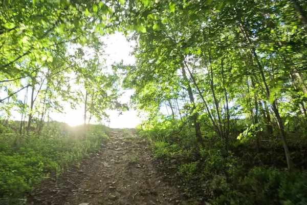
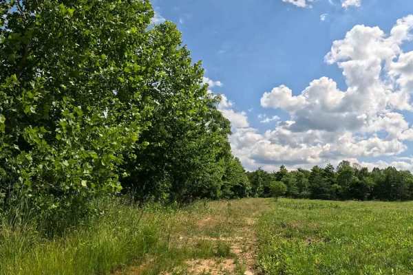
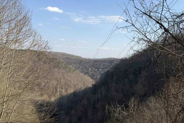
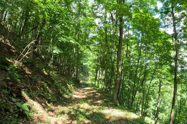
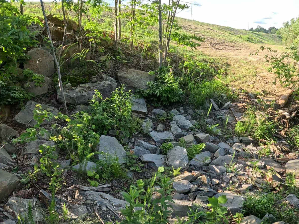
Q25A is a moderate alternate route branching from Q25 and reconnecting with the main trail farther along. It provides an optional technical section featuring a small rock obstacle and ledge. The trail consists of dirt and rock with a small ditch crossing and a rock ledge obstacle. Depending on the direction of travel, riders will either descend the ledge or climb back up it before rejoining Q25.

Photos of Q25A

Difficulty

Moderate (Blue). Mixed dirt and rock trail with a small ledge obstacle and moderate elevation change. Suitable for most 4WD and high-clearance vehicles. Requires basic line choice, throttle control, and attention to terrain. The rock obstacle and ledge may become slick during wet weather, increasing the difficulty of both the climb and descent. Loose rock may also affect traction around the obstacle.

Technical Rating

4

Q25A Trail can be accessed by the following ride types:

  • Single Track
  • 50 Inch
  • 60 Inch
  • High Clearance
  • Full Width

Q25A Map

The onX Offroad Difference

onX Offroad combines trail photos, descriptions, difficulty ratings, width restrictions, seasonality, and more in a user-friendly interface. Available on all devices, with offline access and full compatibility with CarPlay and Android Auto. Discover what you're missing today!

Open Trail Map