Q36

Total Miles1.4
Technical Rating
3Easy
Best TimeSpring, Summer, Fall, Winter
Trail TypeFull-Width Road
Accessible By
Open Trail Map

Trail Overview

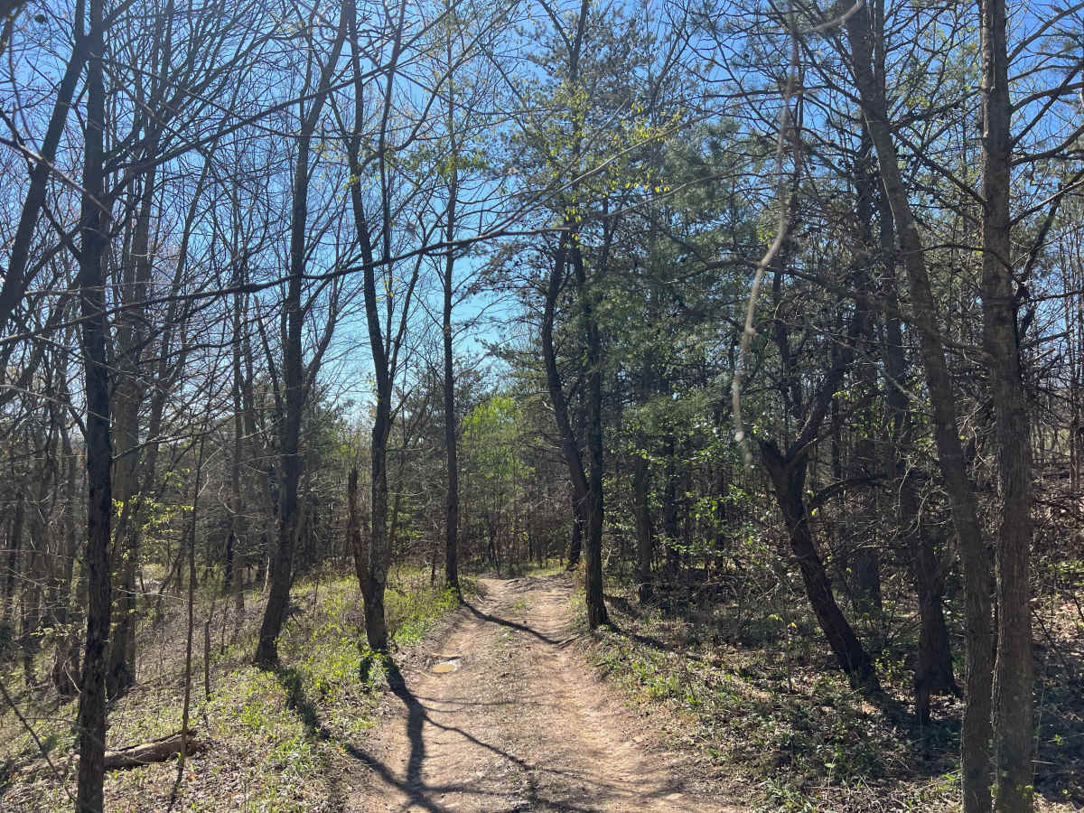
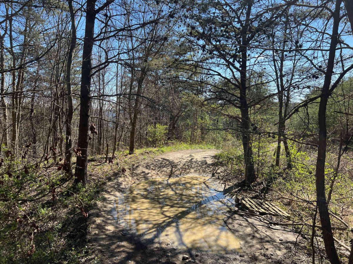
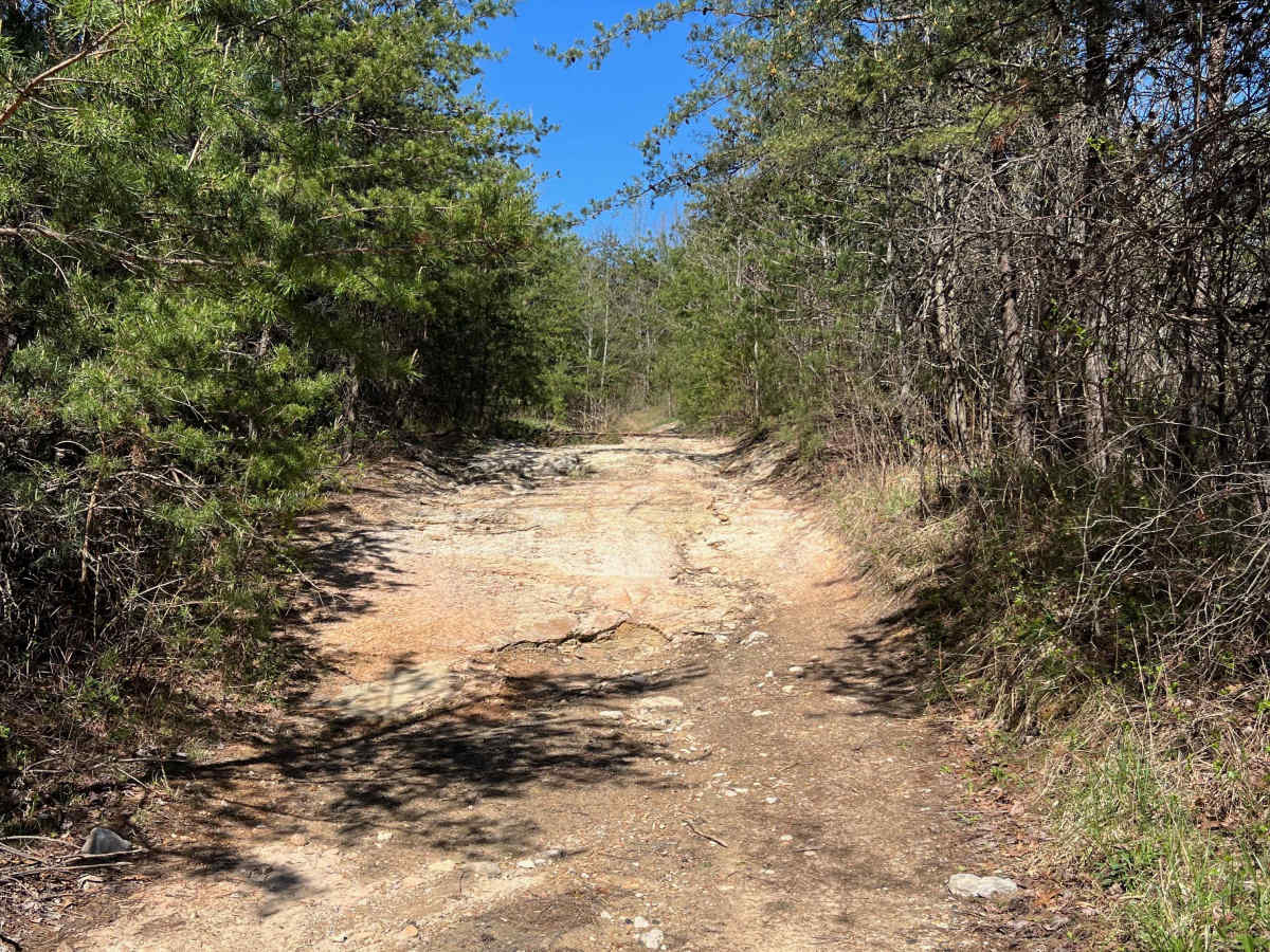
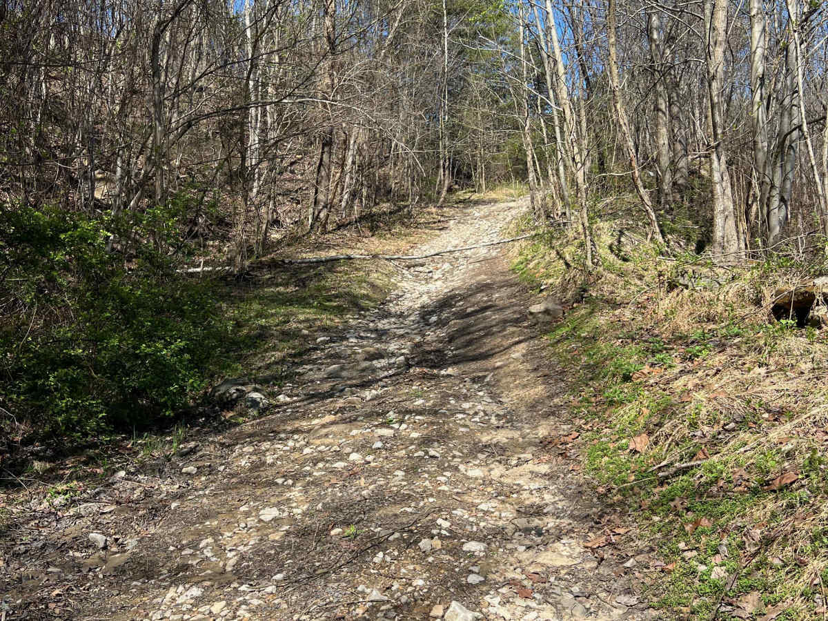
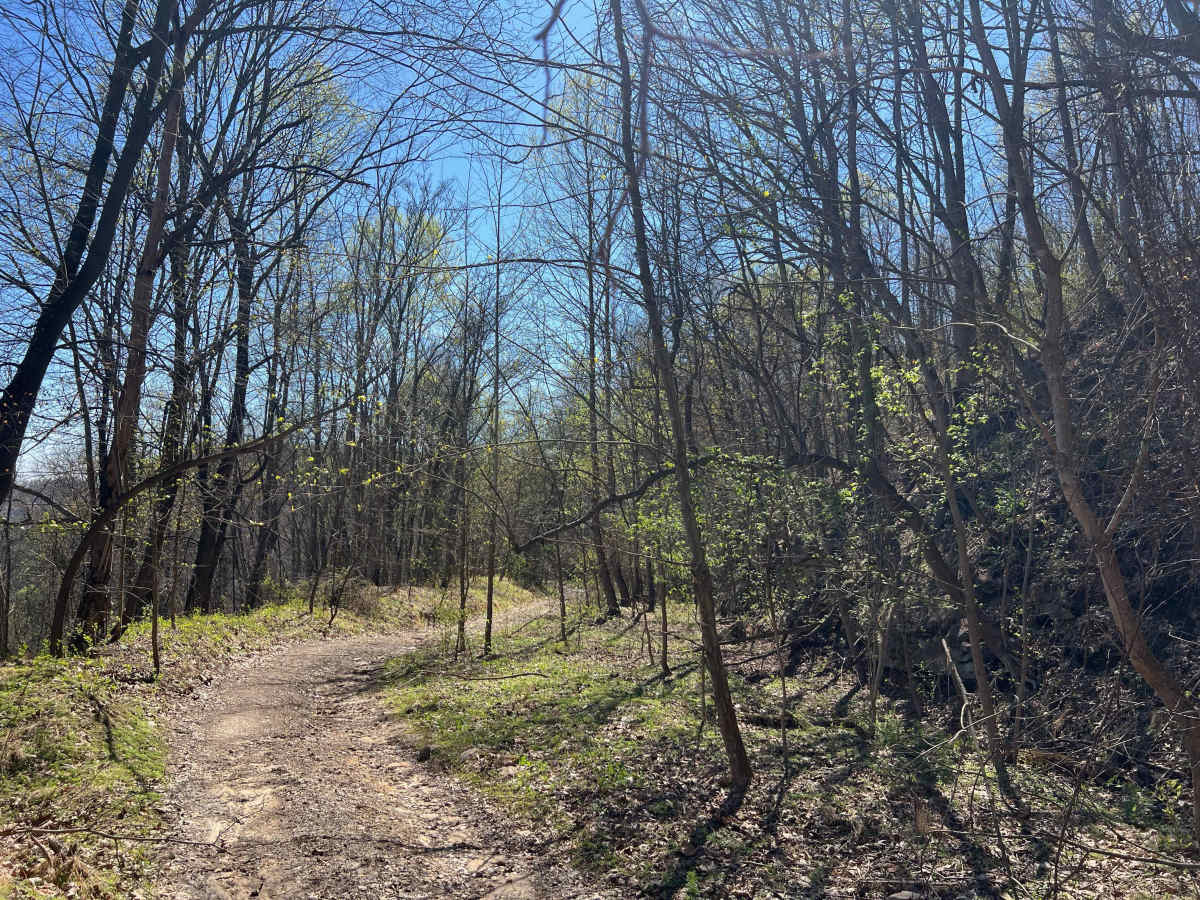
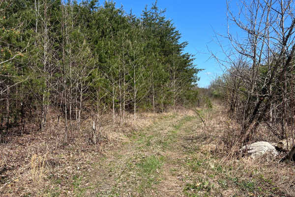
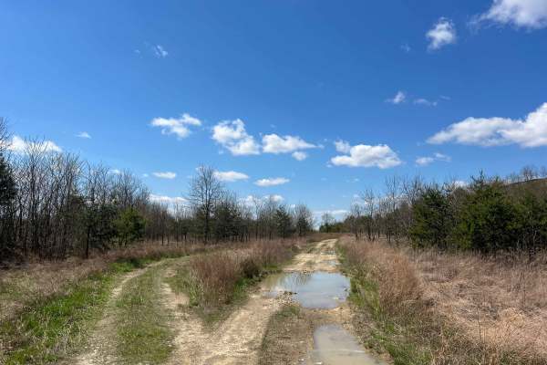
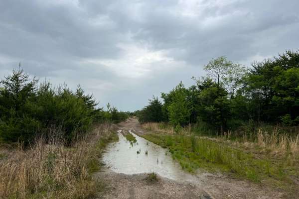
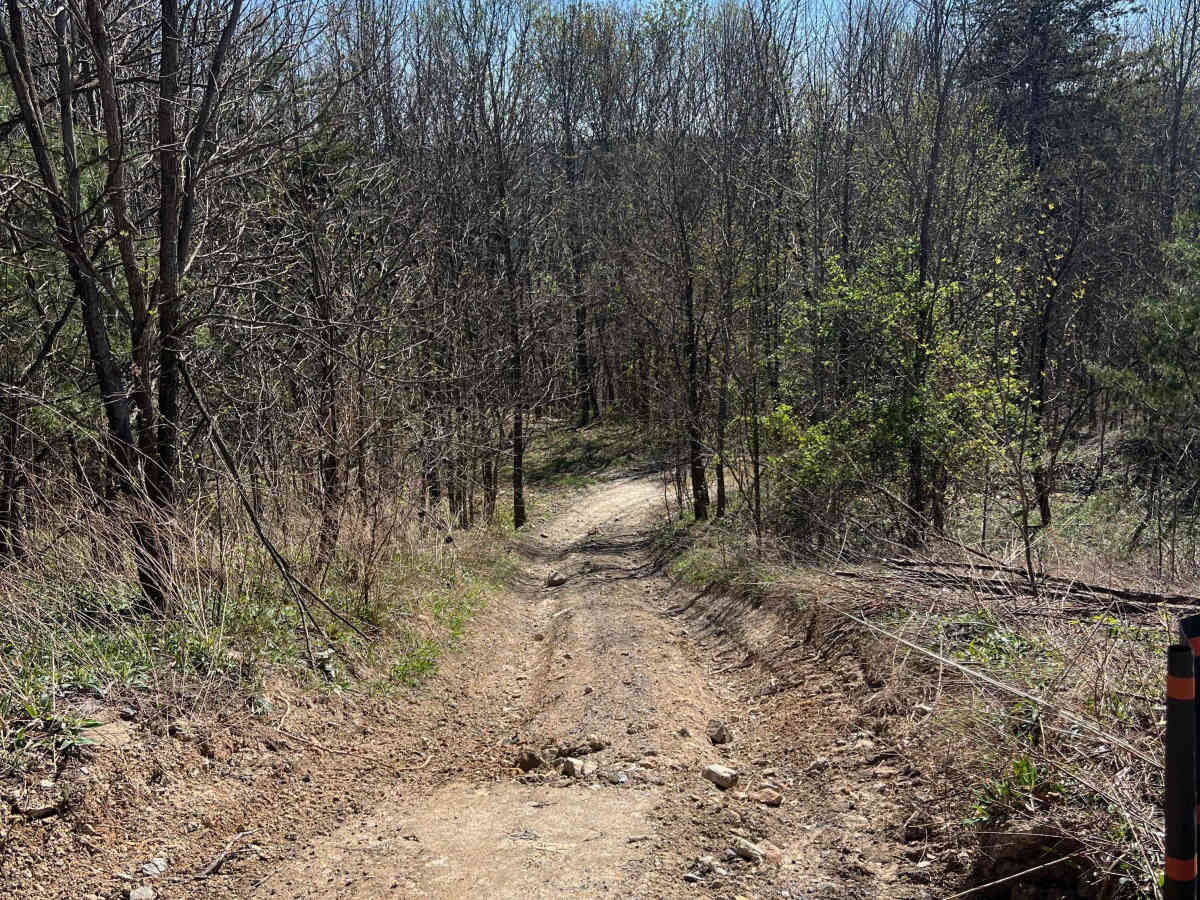
Trail Q36 in the Quincy Sector of AOT is a long, steep, winding shelf road. The lower portion of this road was used for a recent power line project. In the grassy area towards the bottom are some optional mud holes. The area in the middle may have minor washouts and ruts, while towards the top of the trail, it becomes significantly more rocky and narrower with small rock ledges and more small washes. The views to the southeast at higher elevations are beautiful. The last section of the trail becomes relatively steep for a short segment as it joins Q46 and intersects Q50. This trail should likely be avoided if conditions are icy or during times of heavy rain.

Photos of Q36

Difficulty

This trail features multiple washes, loose rocks, ruts, small ledges, and optional mud holes.

Technical Rating

3

Q36 Trail can be accessed by the following ride types:

  • Single Track
  • 50 Inch
  • 60 Inch
  • High Clearance
  • Full Width

Q36 Map

The onX Offroad Difference

onX Offroad combines trail photos, descriptions, difficulty ratings, width restrictions, seasonality, and more in a user-friendly interface. Available on all devices, with offline access and full compatibility with CarPlay and Android Auto. Discover what you're missing today!

Open Trail Map