Trail Overview
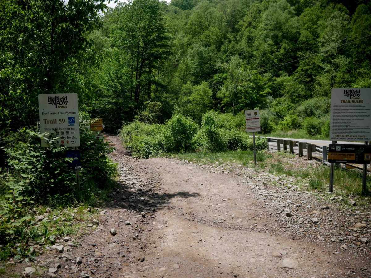
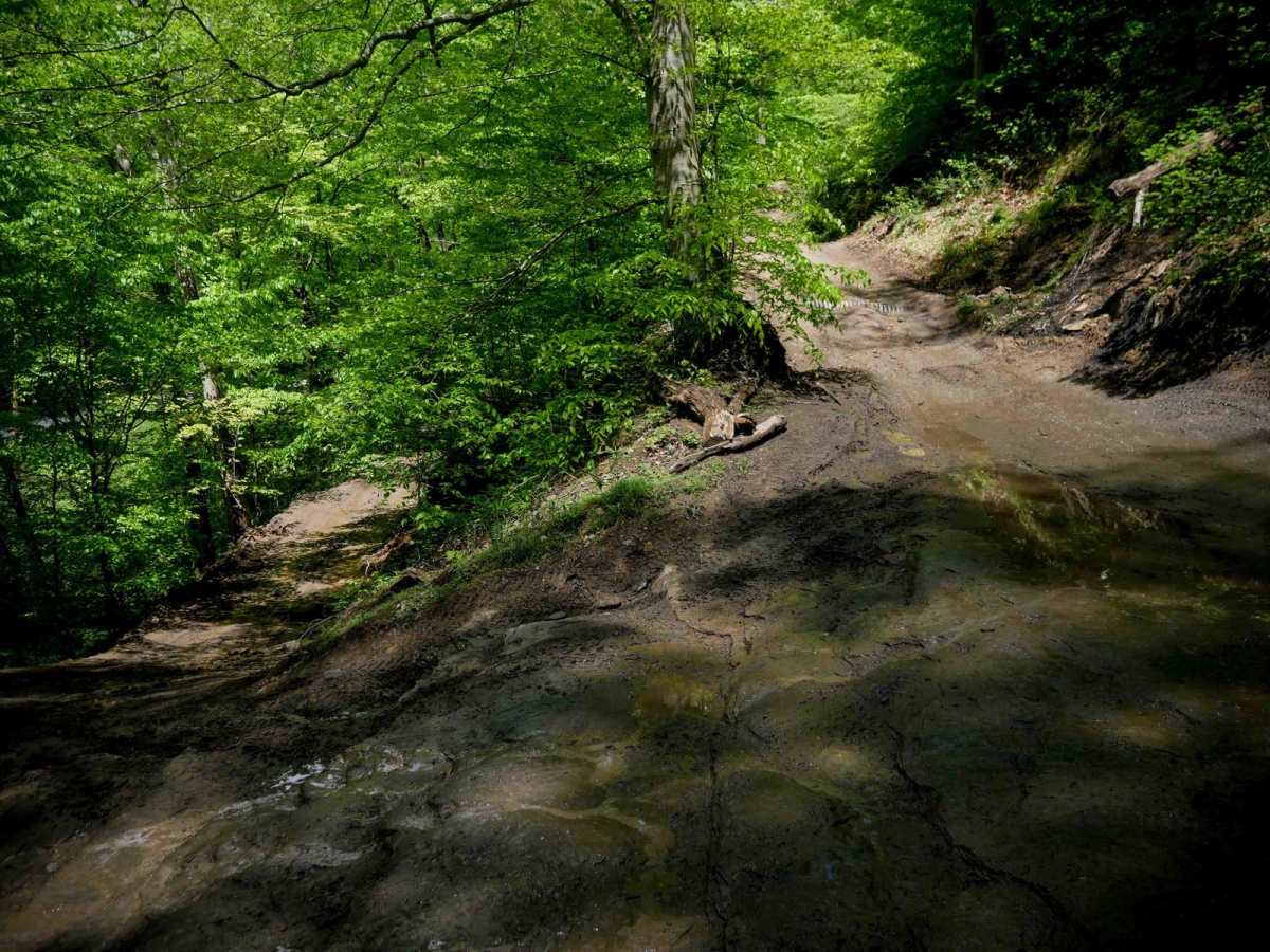
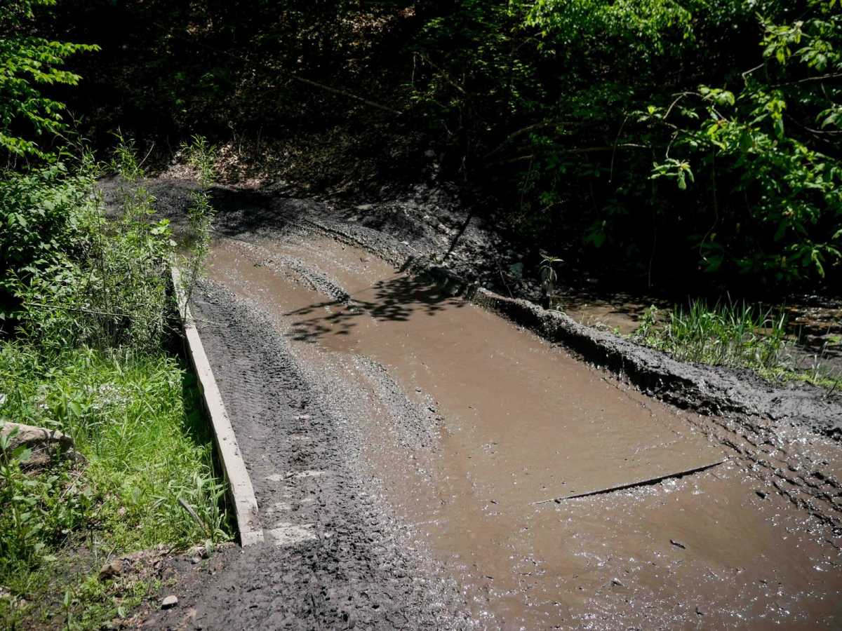
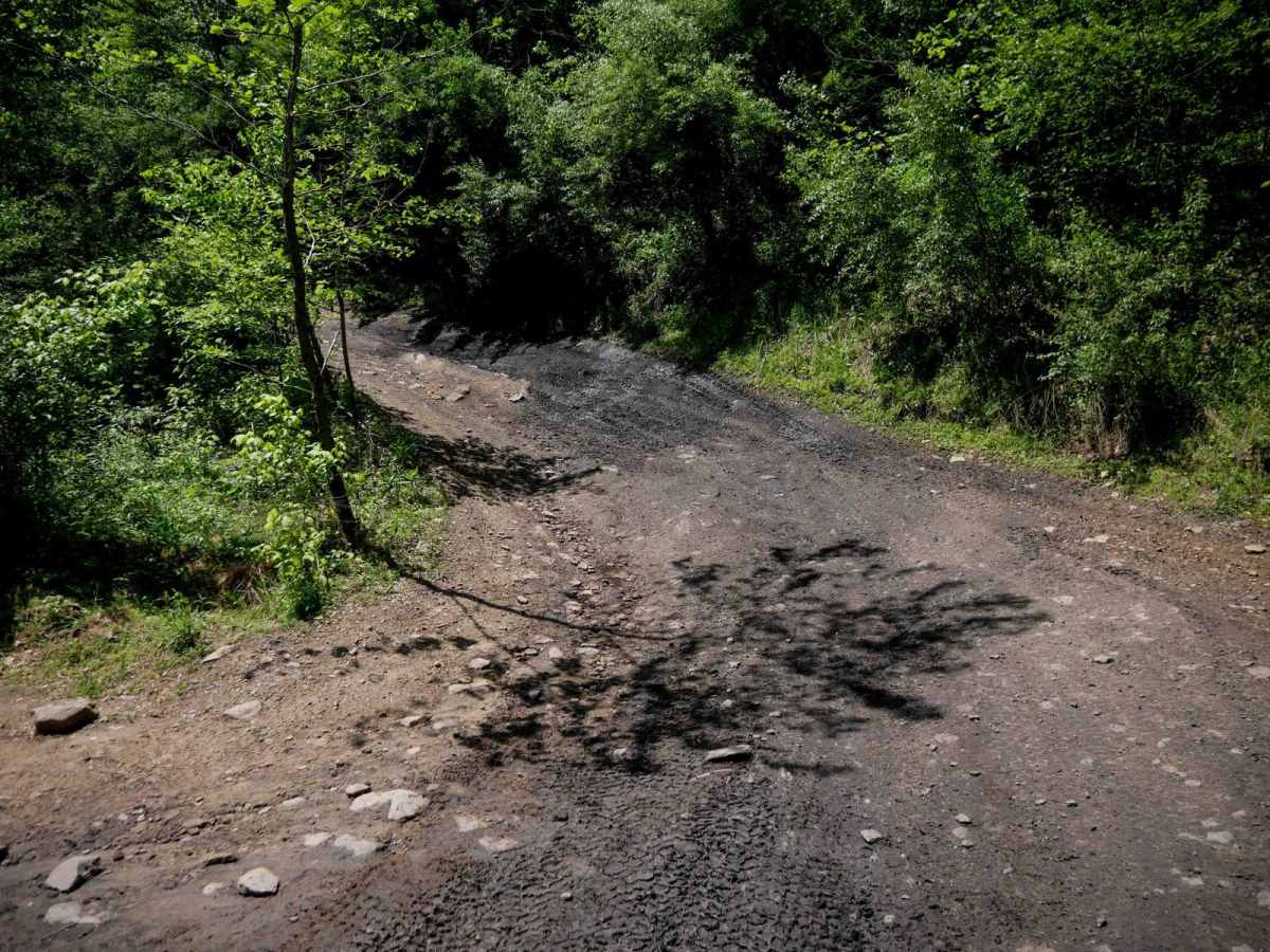
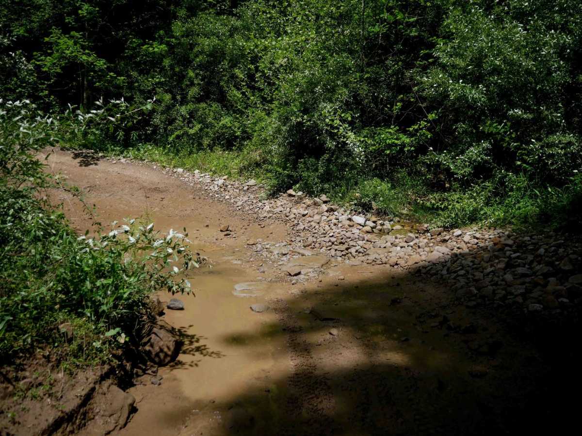
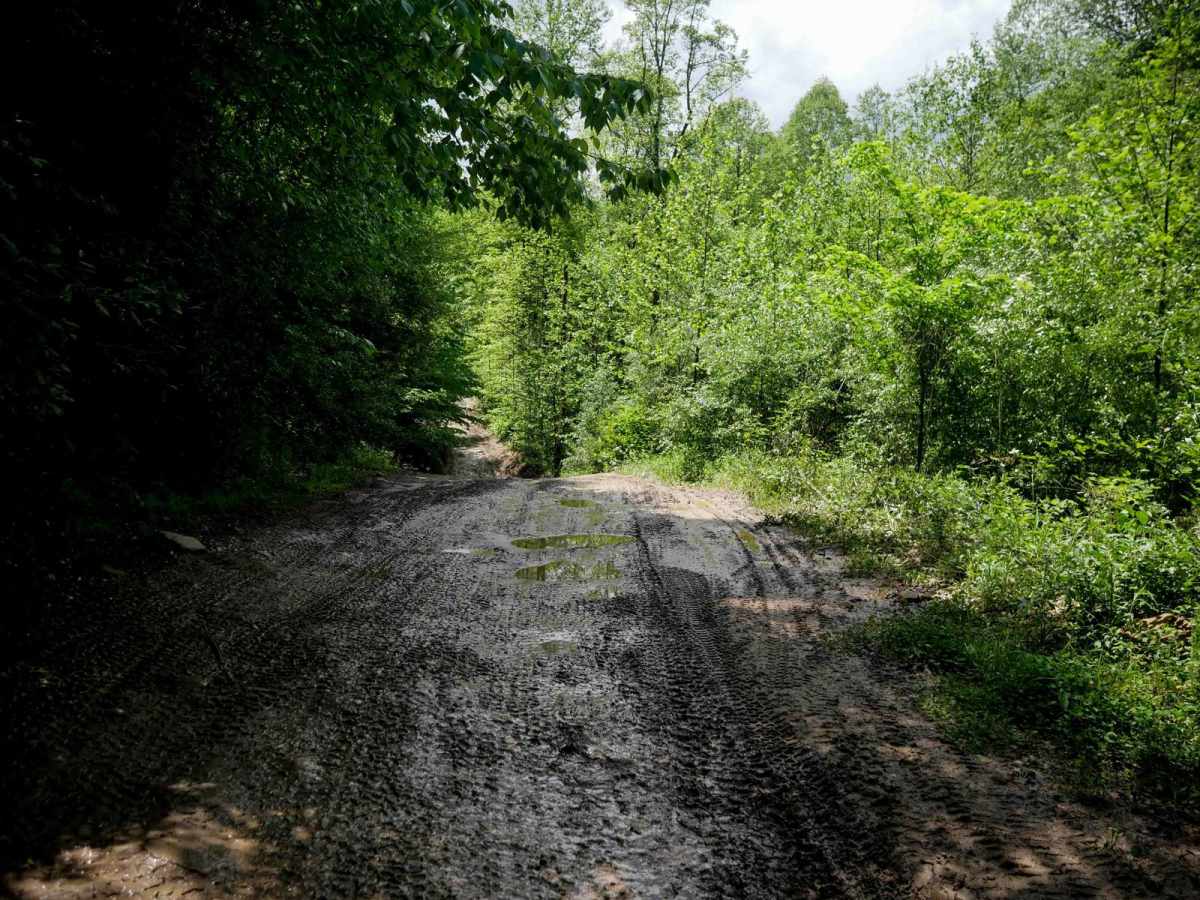
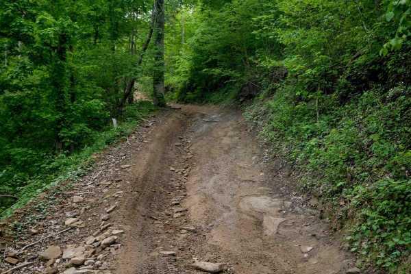
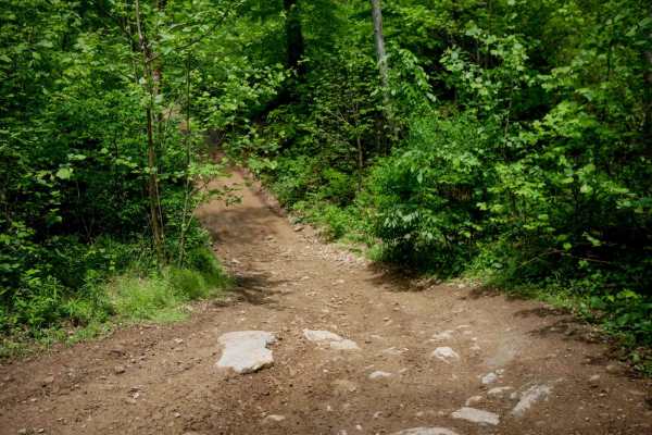
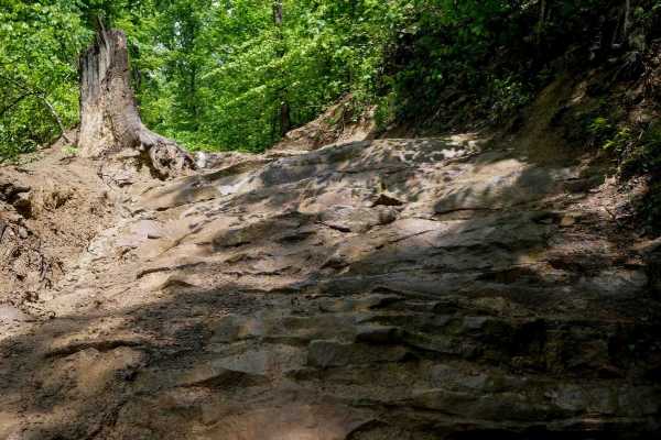
DA 59 is a 6.6-mile transfer trail through the Devil Anse system, offering both scenic and functional connectivity. From the western entrance, it climbs steadily on a shelf-style trail with steep switchbacks, shallow ruts, and loose rock. The trail is one-lane wide in sections but opens up after the initial climb. Riders should watch for large mud puddles and a slick wooden bridge crossing a creek. The route passes through dense forest and accesses several more technical SxS trails, including DA 81-83. Midway, DA 59 becomes a wide, well-traveled corridor through the Devil's Backbone Adventure Resort and Tipple Tavern area--reduced speed is advised here. It then descends to pavement before continuing on dirt near residential areas and along a scenic rock wall, eventually connecting to the intersection with DA 54.
Difficulty
This is a long trail with minor ruts and loose rock, easy switchbacks and somewhat steep sections, but is still manageable for average skill level riders. Note that this is considered More Difficult by Hatfield McCoy's rating system.