Wilson Creek Road - FS 3517

Total Miles4.5
Technical Rating
3Easy
Best TimeSpring, Summer, Fall
Trail TypeFull-Width Road
Accessible By
Open Trail Map

Trail Overview

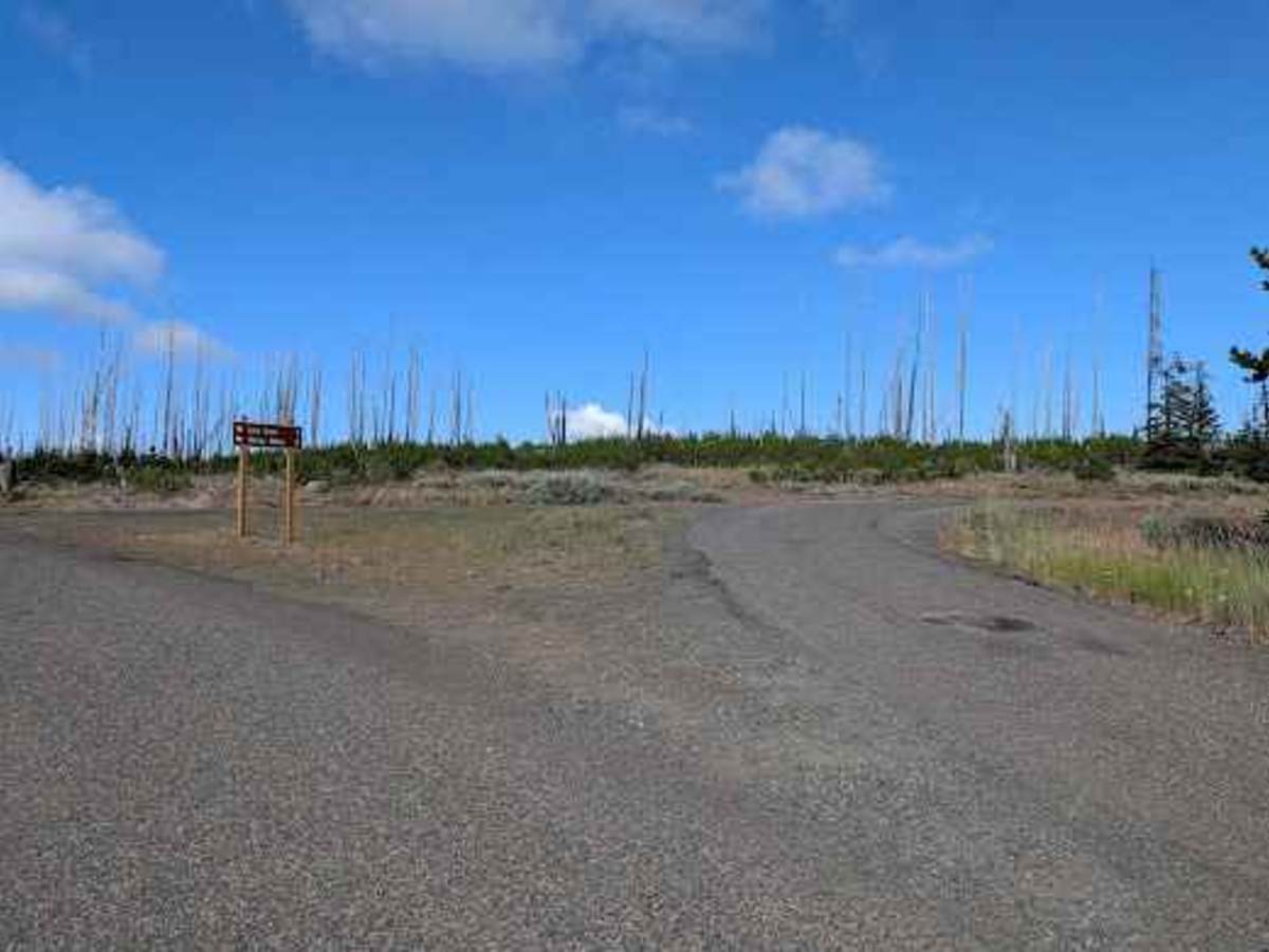
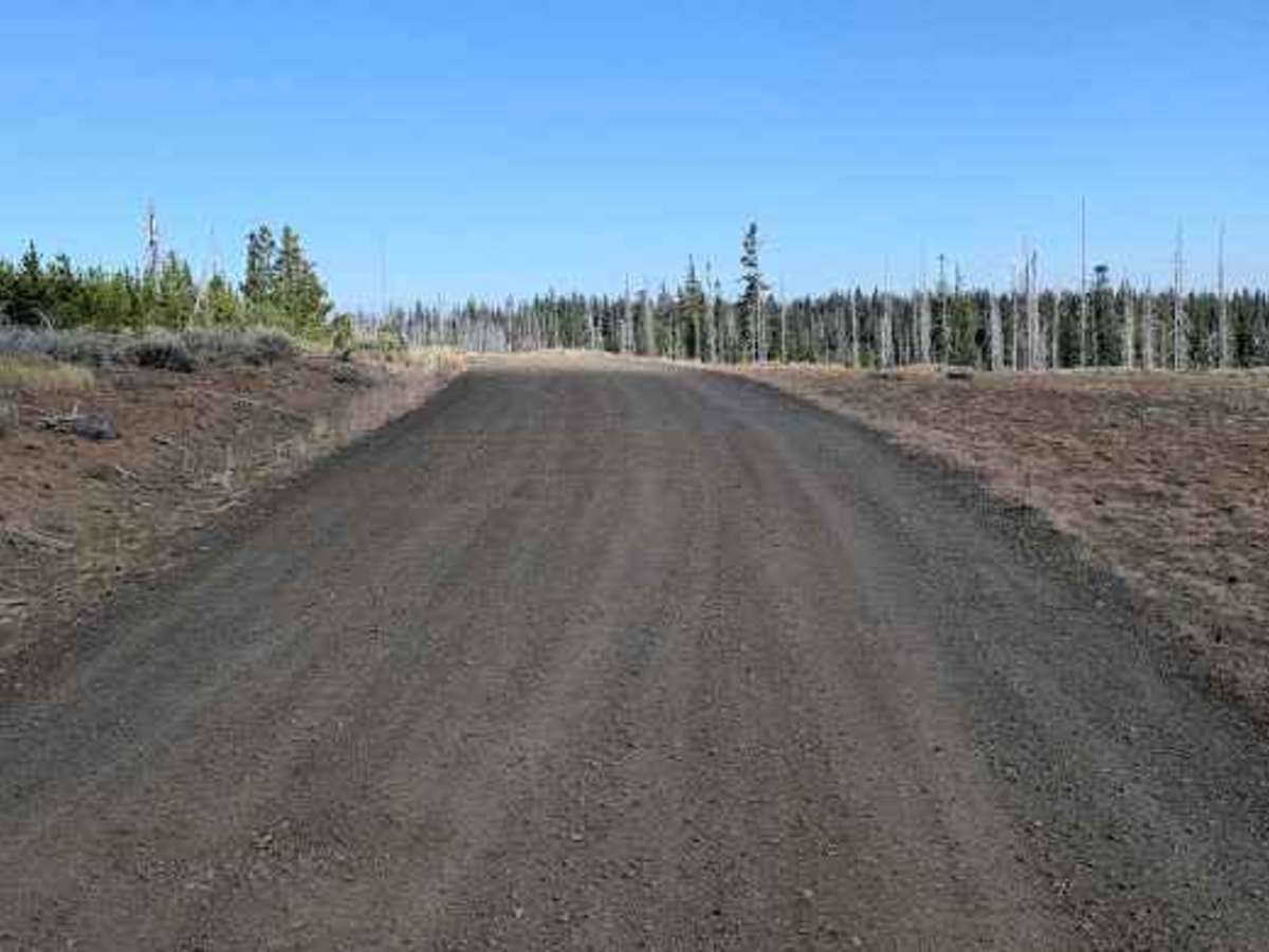
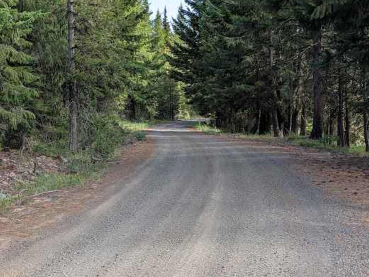
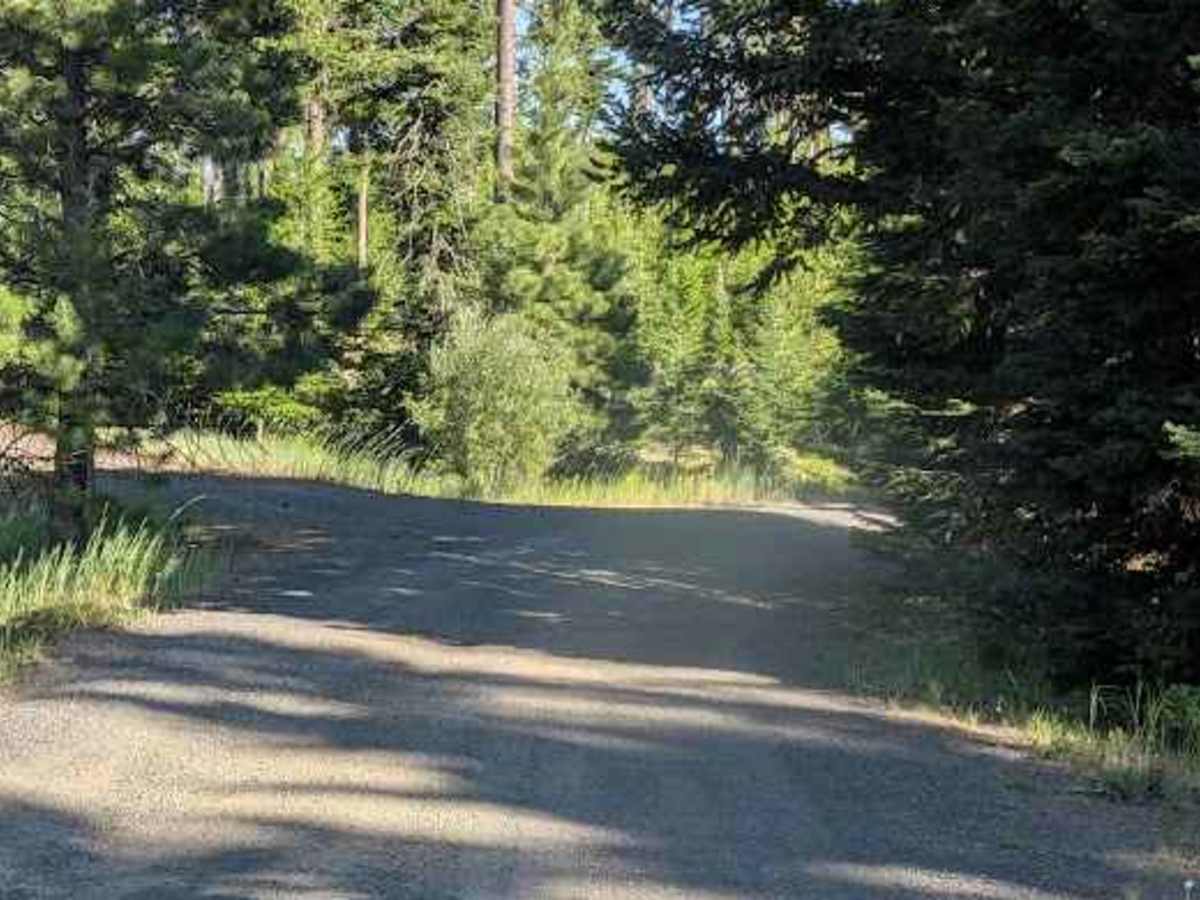
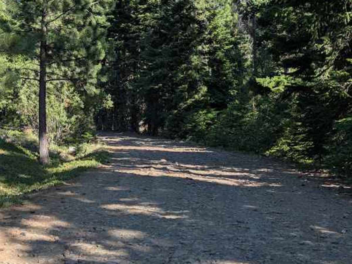
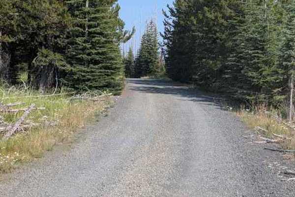
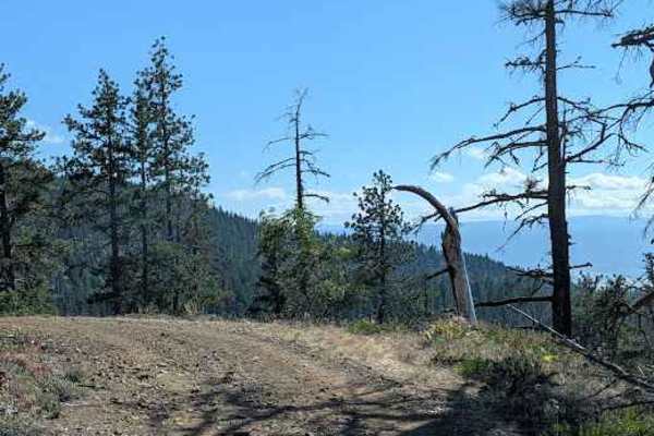
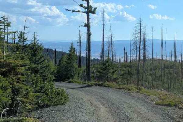
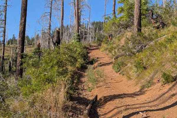
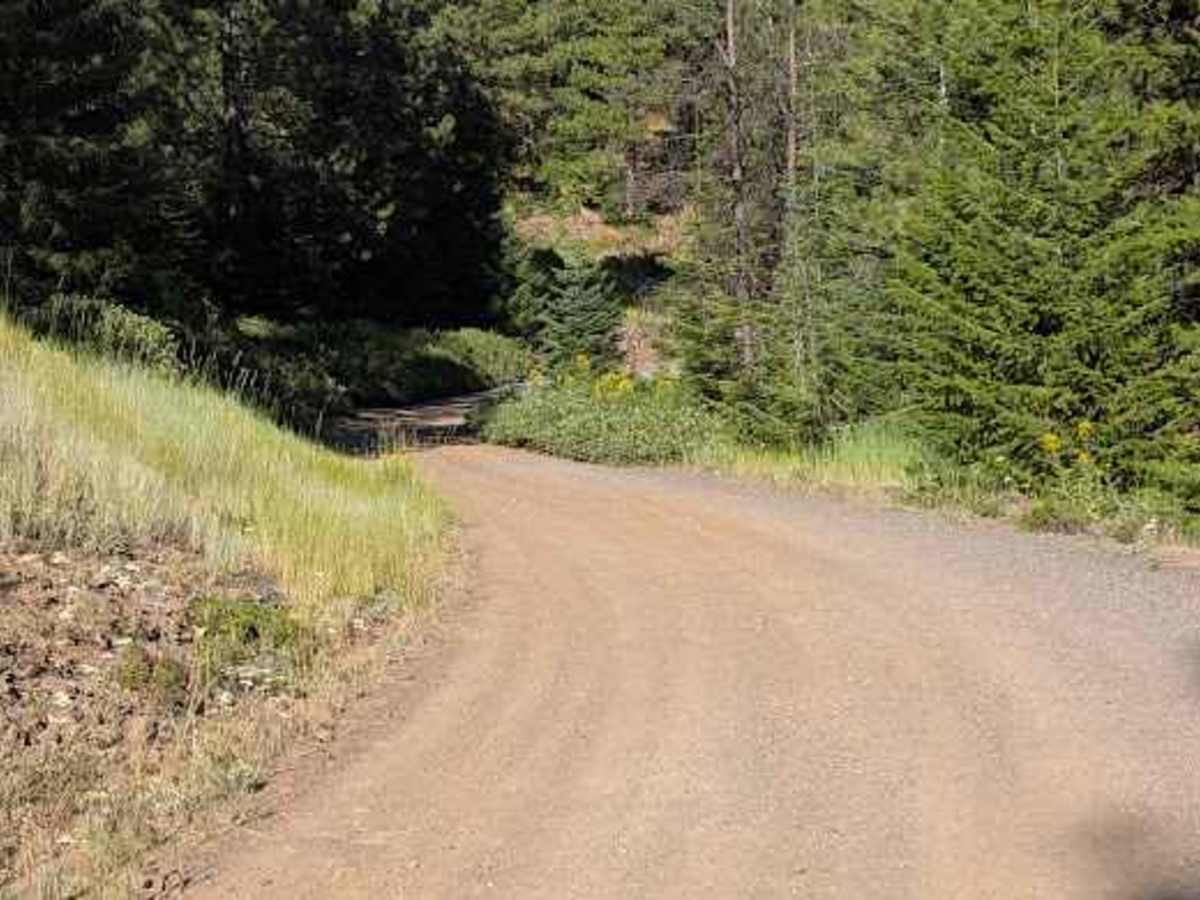
This starts as a wide single-lane gravel road and stays pretty decent until the junction with the 114 road. Beyond that, it becomes more of a natural surface road, consisting mostly of embedded and loose rocks up to a foot high, with holes of similar depth. The road does cross onto private property and connects with other roads on the private property. Part of what the base map shows as Wilson Rd is blocked off there, and that's where this track ends.

Photos of Wilson Creek Road - FS 3517

Difficulty

Rated 3 for road width, embedded and loose rocks up to 1' high, and holes about 1' deep

Technical Rating

3

Wilson Creek Road - FS 3517 Trail can be accessed by the following ride types:

  • Single Track
  • 50 Inch
  • 60 Inch
  • High Clearance
  • Full Width

Wilson Creek Road - FS 3517 Map

The onX Offroad Difference

onX Offroad combines trail photos, descriptions, difficulty ratings, width restrictions, seasonality, and more in a user-friendly interface. Available on all devices, with offline access and full compatibility with CarPlay and Android Auto. Discover what you're missing today!

Open Trail Map