FS 3507-111

Total Miles1.5
Technical Rating
5Moderate
Best TimeSpring, Summer, Fall
Trail TypeFull-Width Road
Accessible By
Open Trail Map

Trail Overview

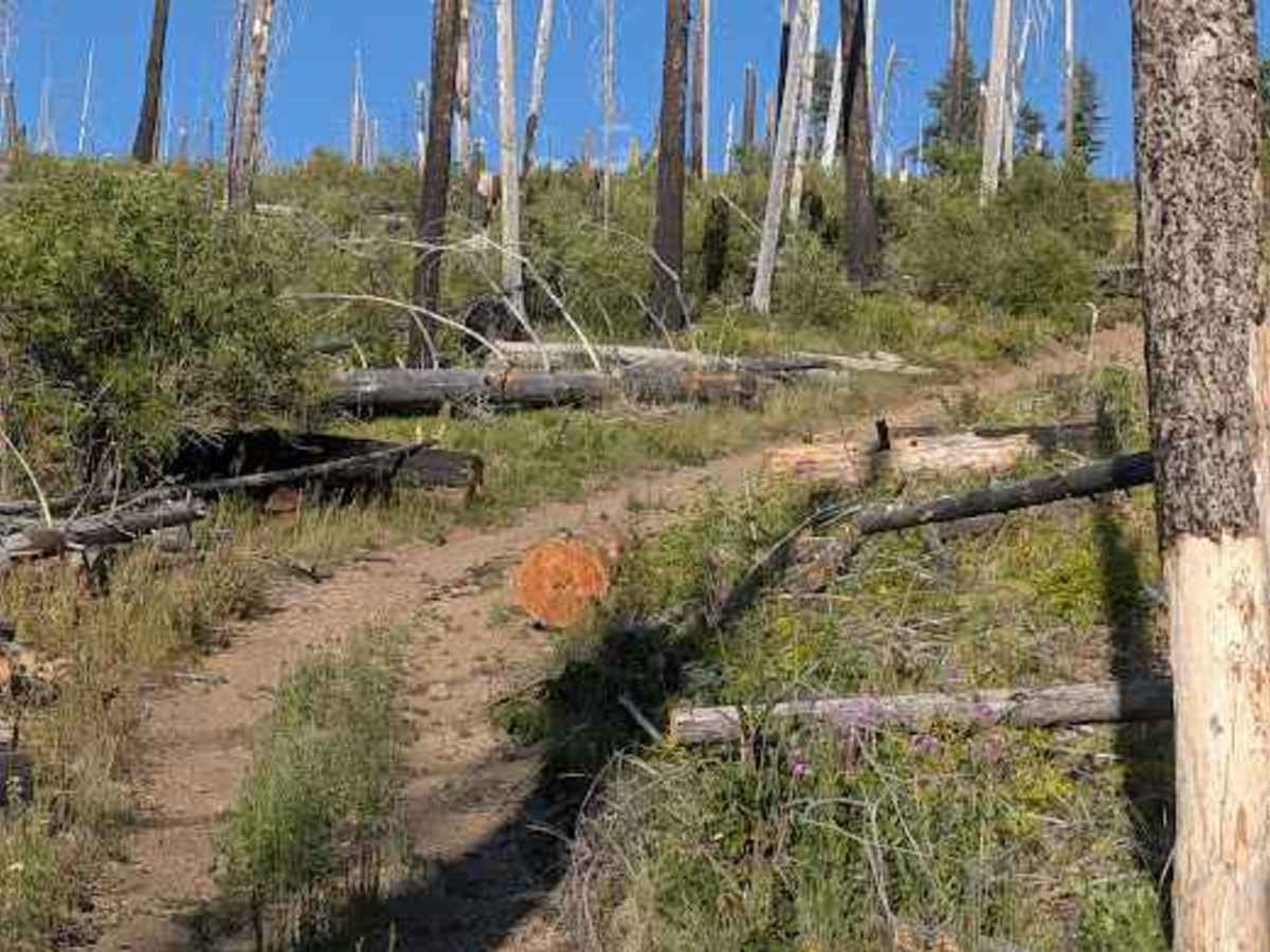
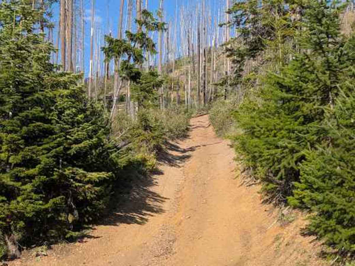
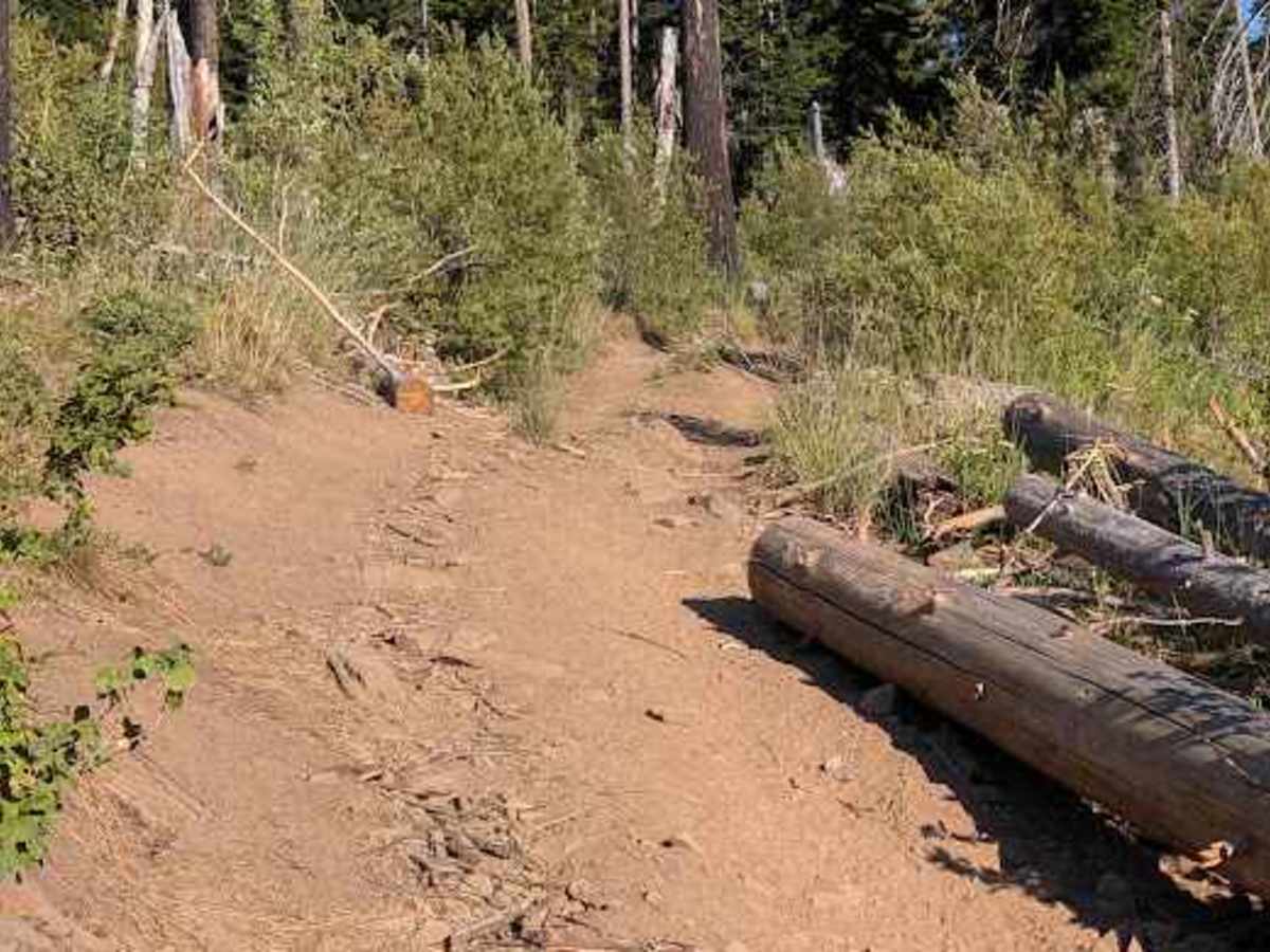
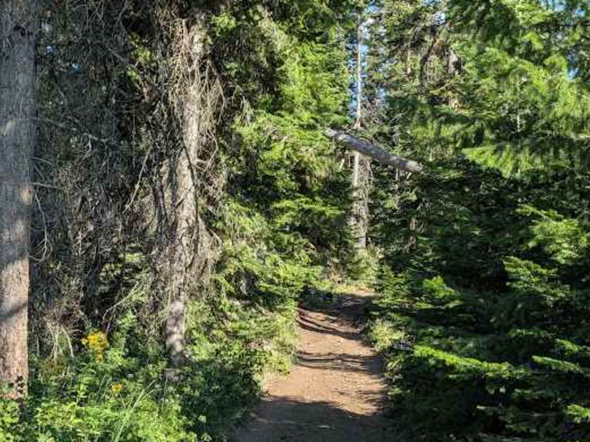
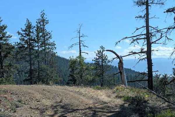
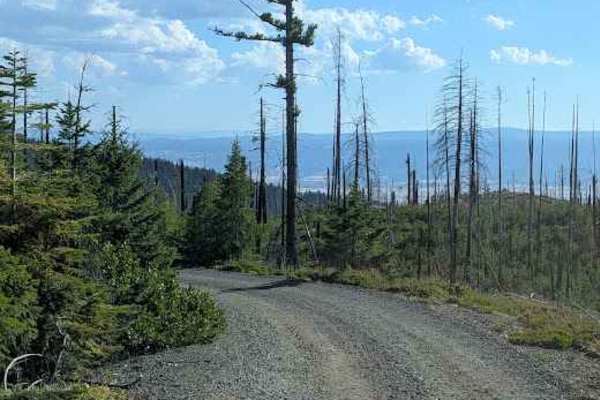
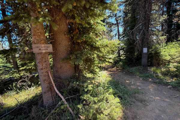
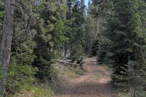
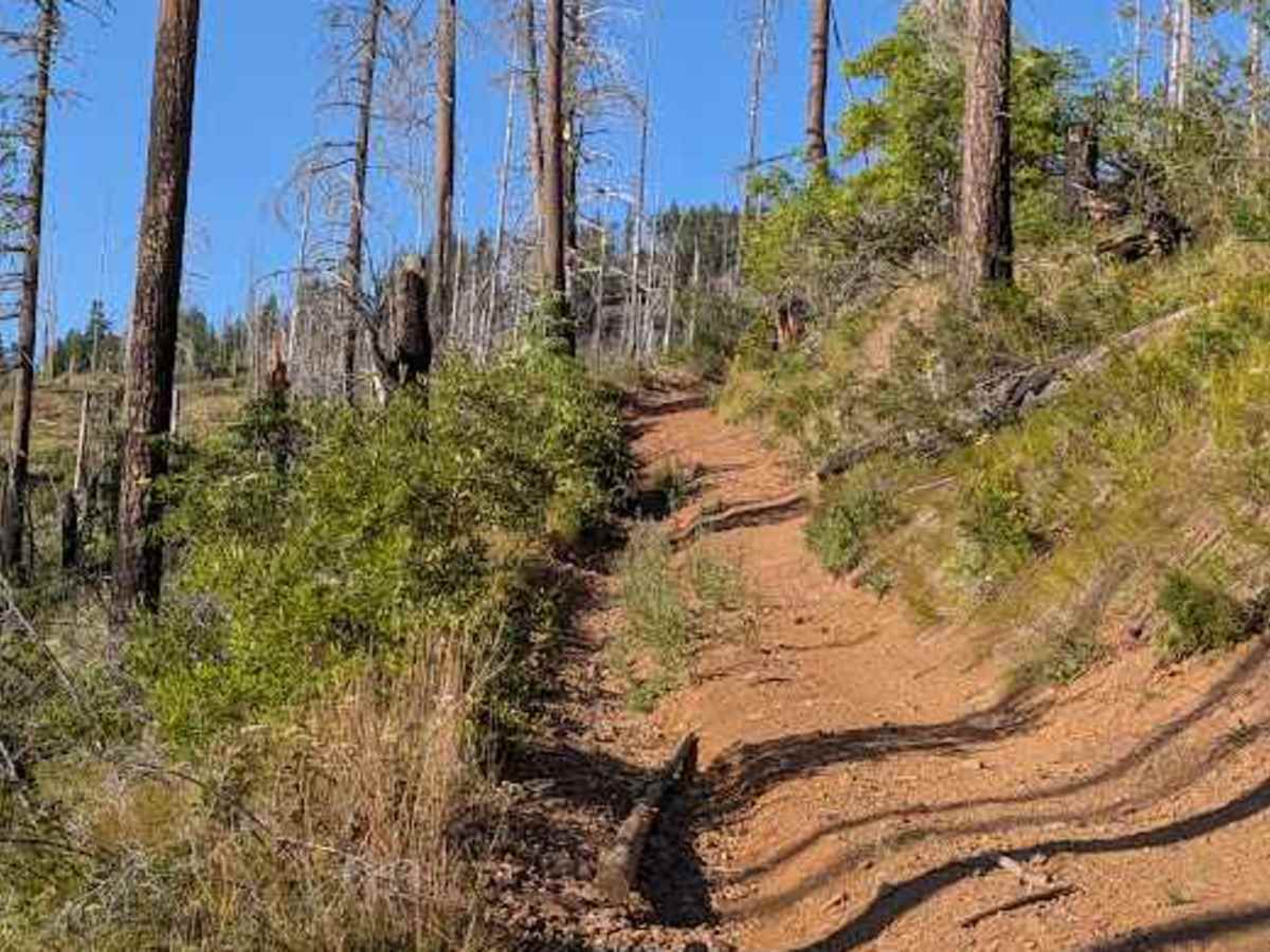
The base map and the FS app both show the 111 road terminating at the 3507-132, with the 4W336 continuing across the 132. Running the 111 from that point back to the FS3507 seemed more like a 4Wxxx trail for the first half mile or so, and some of the signage implied overlap between the two. There were significant climbs, with one being both loose and requiring careful maneuvering. The ruts were around 18" deep, and the loose rocks got up to a foot in diameter. Perhaps this is the 4W336 appetizer.

Photos of FS 3507-111

Difficulty

Rated 5 for significant climbs, deep ruts, and loose rocks up to 12" in diameter

Technical Rating

5

FS 3507-111 Trail can be accessed by the following ride types:

  • Single Track
  • 50 Inch
  • 60 Inch
  • High Clearance
  • Full Width

FS 3507-111 Map

The onX Offroad Difference

onX Offroad combines trail photos, descriptions, difficulty ratings, width restrictions, seasonality, and more in a user-friendly interface. Available on all devices, with offline access and full compatibility with CarPlay and Android Auto. Discover what you're missing today!

Open Trail Map