Trail Overview
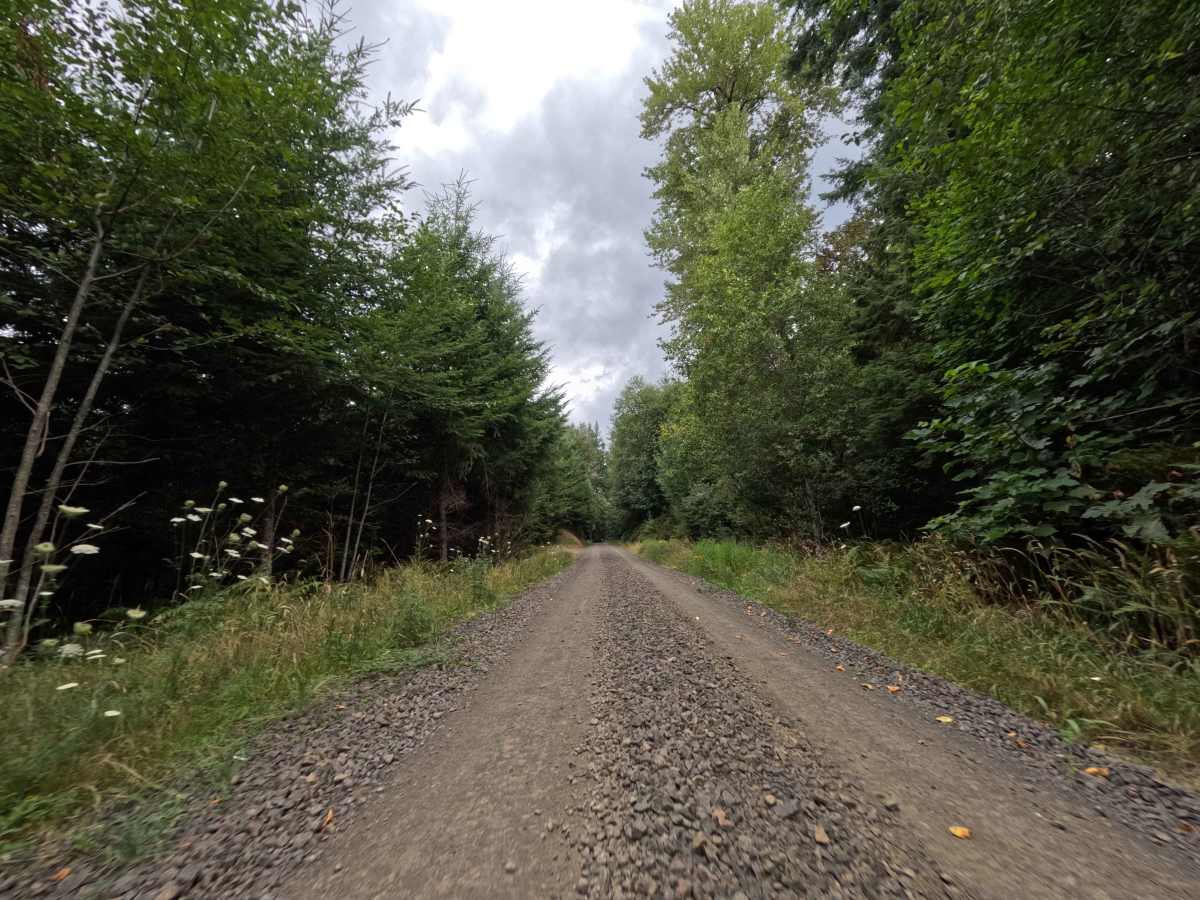
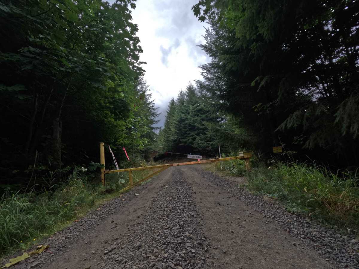
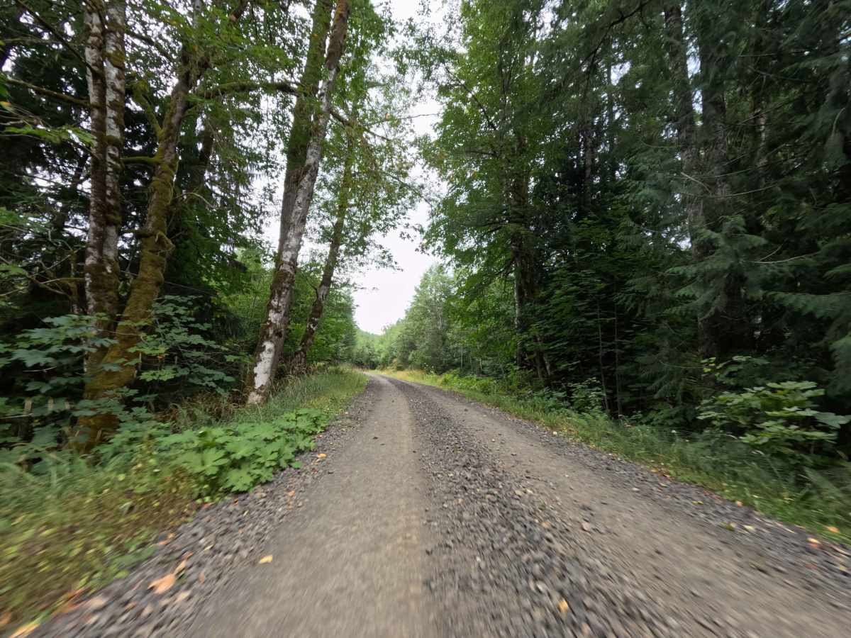
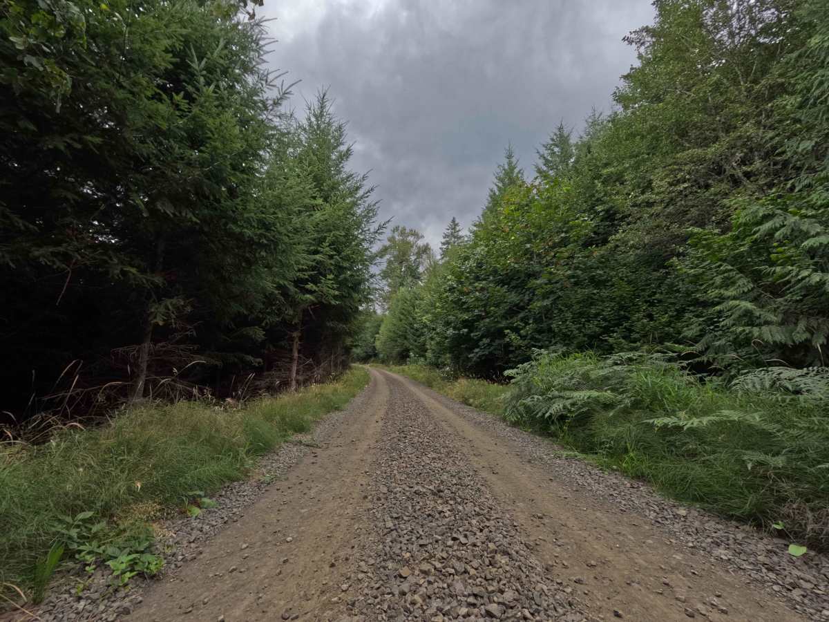
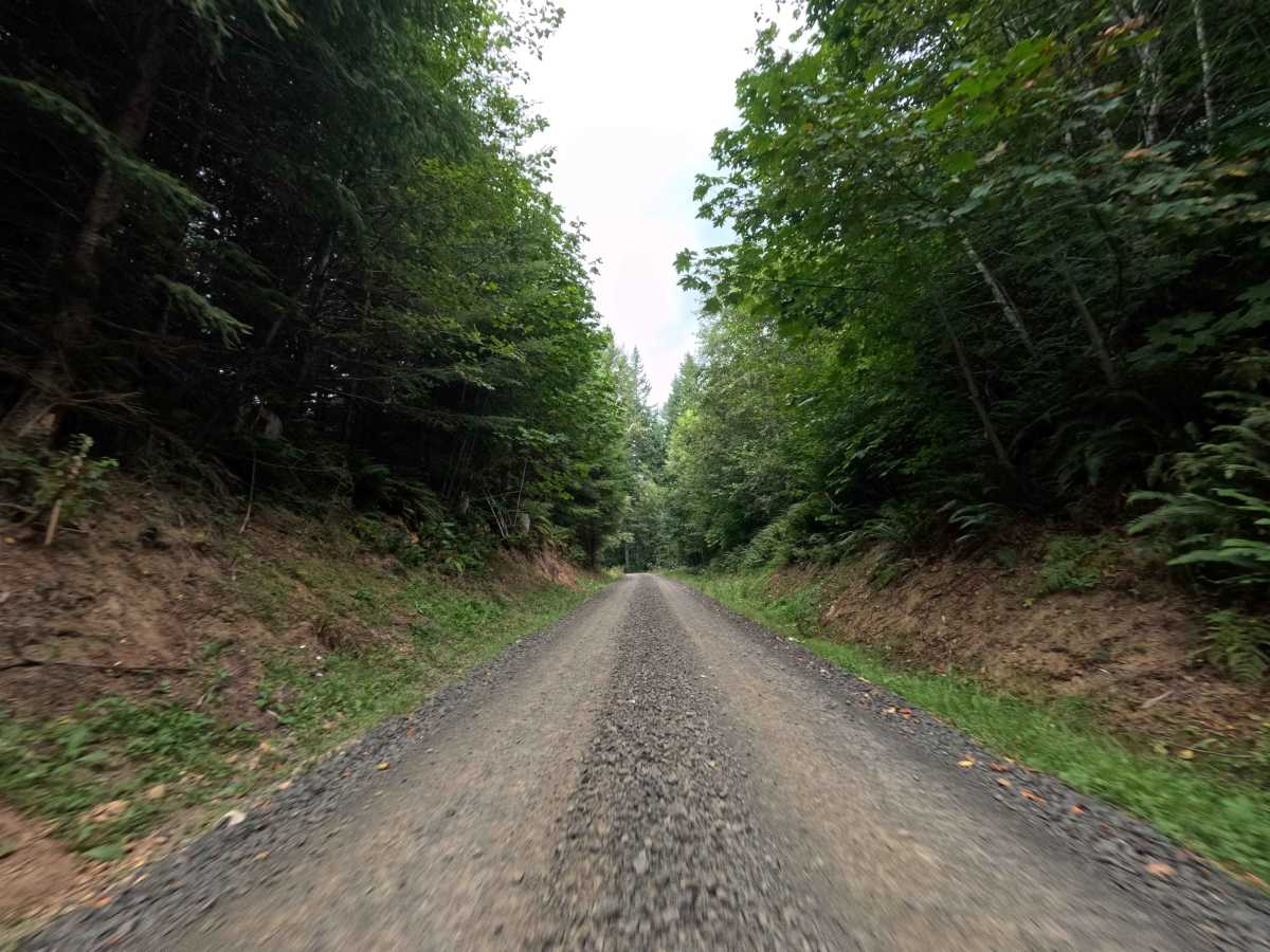
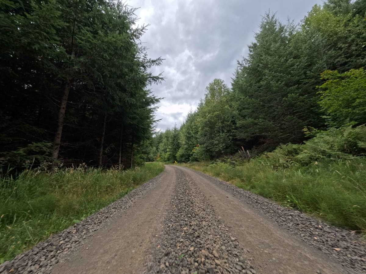
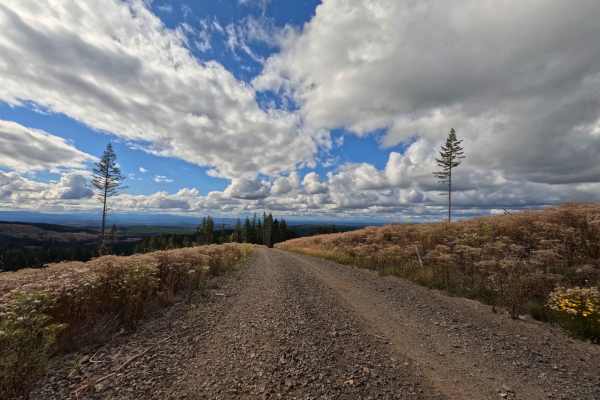
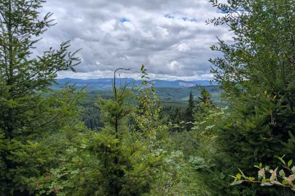
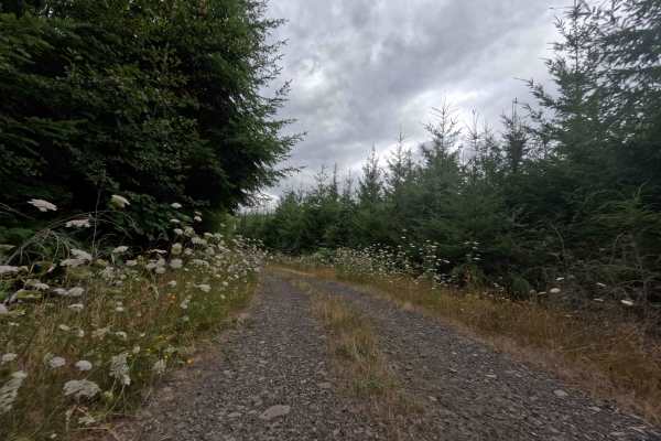
Operating as a crucial transit artery, W-550 branches off the surrounding main road network to shuttle travelers toward the privately managed Weyerhaeuser timberlands. Functioning primarily as a brief throughput connector, this route guides visitors straight to a secure, locked gate marking the boundary of the permit-only recreation area. The pathway carves through a lush, heavily timbered evergreen forest environment governed by active commercial logging operations. Holding an accessible difficulty rating of 2, the wide, graded gravel and crushed rock surface is kept in prime condition to support constant heavy machinery. Outdoor recreationists utilizing the wyrecreation.com permit system use this heavily shaded, tree-lined corridor to reach designated hunting and backcountry exploration zones. Due to its primary purpose as an industrial haul route, drivers must remain constantly alert for fast-moving logging trucks and utilize the generous shoulders to yield the right-of-way.
Difficulty
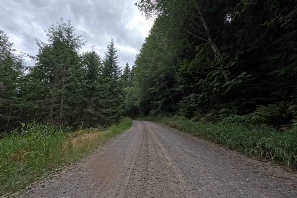
Rated as a level 2, this commercial haul road provides a highly reliable, flat, and exceptionally smooth drive. The thick gravel roadbed is routinely bladed and maintained, ensuring there are no deep erosion washouts, off-camber dips, or large embedded rocks to threaten undercarriage clearance. The lane is impressively wide, eliminating any concerns about trailside brush grazing the vehicle's paint. The primary challenge is purely situational; because the corridor experiences heavy, daily logging traffic, drivers need to maintain a cautious speed, stick to the right side of the road, and be prepared to yield to massive timber trucks rounding the sweeping bends.