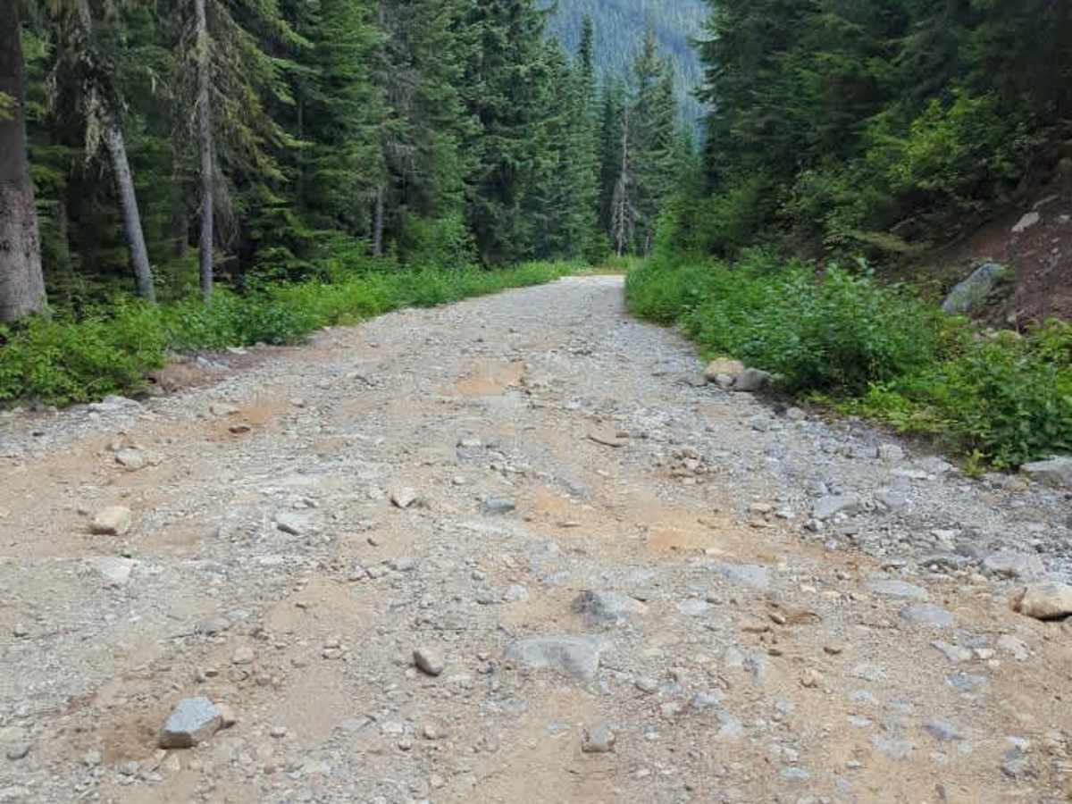
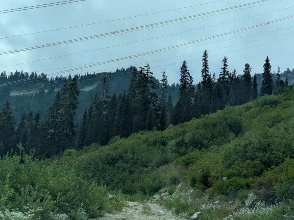
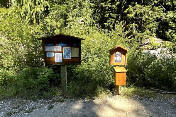
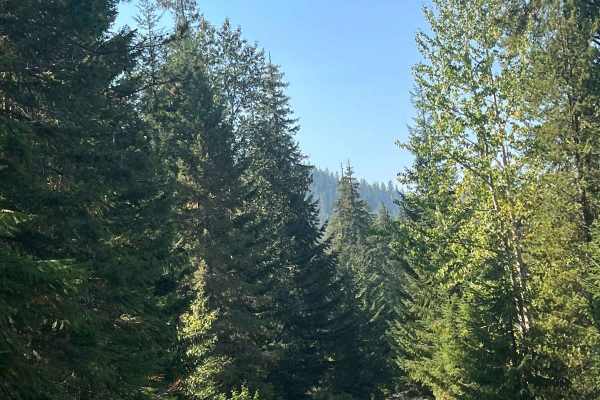
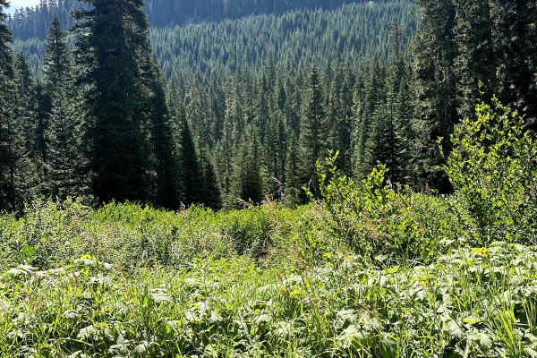
Trail Overview
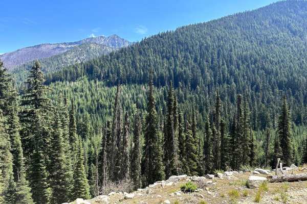
This summer-only trail starts at the Stevens Pass Nordic Center on a gravel road with frequent potholes. The road is anywhere from 1-2 vehicles wide with minimal overgrowth and plenty of opportunities for passing. The first few miles find you emerging from the dense forest into alpine meadows created by the powerline clearcuts. Most of this road follows the powerlines, which makes for some nice, unobstructed views. Note there is one sketchy bridge with poor repairs, and it is highly recommended that you walk the bridge and pick the best line. There is also an untested cat track that appears to bypass the bridge.
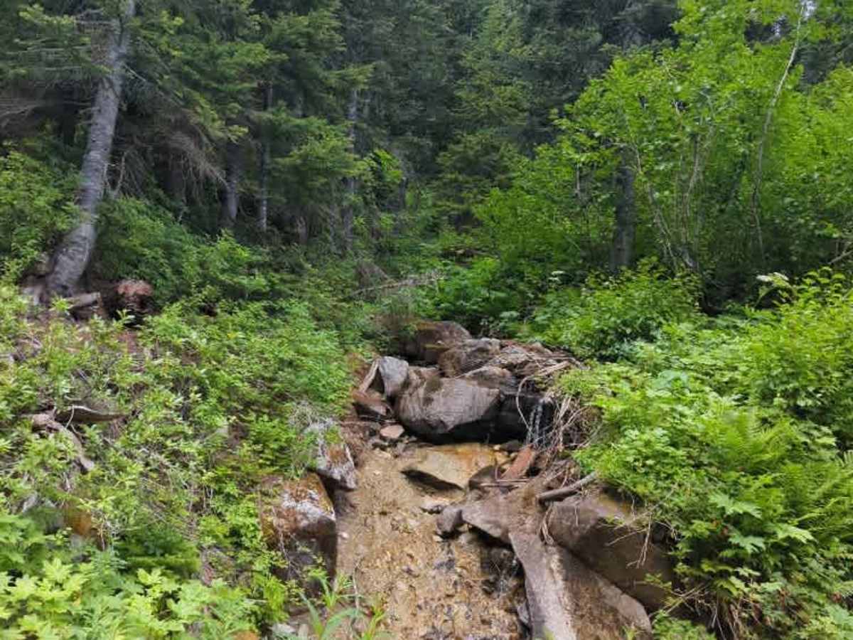
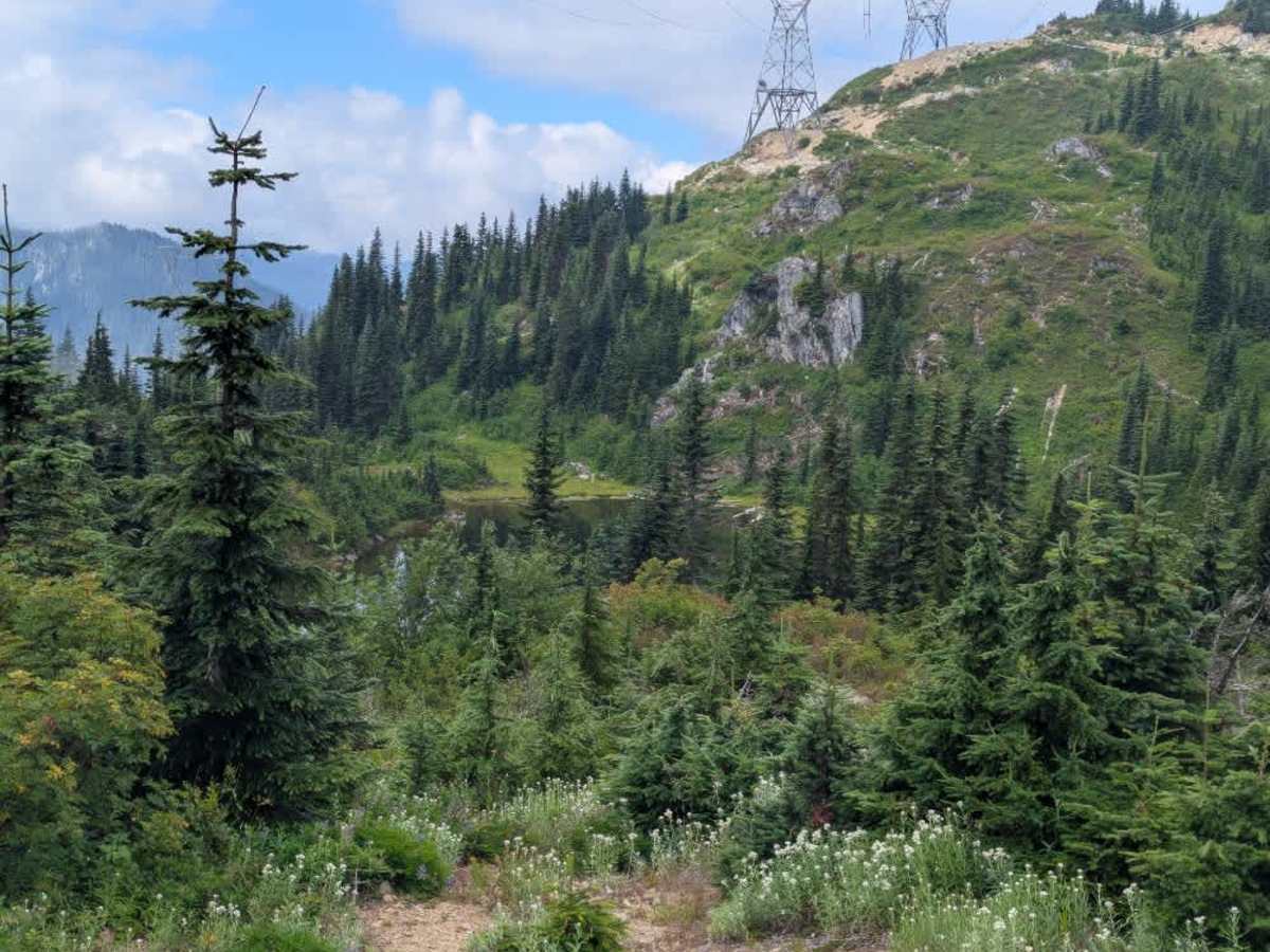
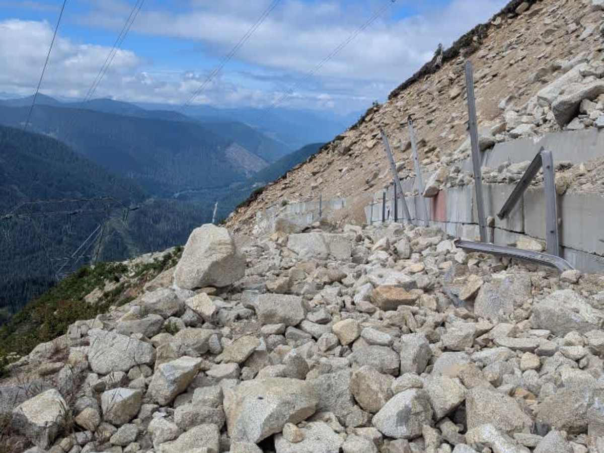
Eventually, the road starts to deteriorate and starts to climb. The gravel gives way to loose rocks, steep climbs, and even some bedrock and mudholes that make this a fairly technical climb towards the top. There are plenty of side trails with fun obstacles as well. Nearing the top, you cross the Pacific Crest Trail, and then crest the Cascades at the Chelan/King County line. From there, the trail continues around a small lake and ultimately ends under the powerlines as the remainder of the road is washed out and covered by large boulders. Trying to crawl over them is not recommended, as they are loose boulders on top of loose rock on a cliff's edge.
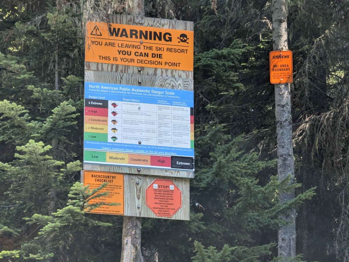
No cell service until the very top, and no campsites were observed. During the winter, this road is closed to vehicles and is part of the mainline trail for the Nordic Center. Open dates are approximately June - November.
Difficulty
Loose rocks on steep slopes, very dynamic terrain that changes every winter, mud holes, a few larger rocks to climb over, a few shallow water crossings (more seasonally).