Upper Dunegeness Fork - FS 2870

Total Miles4.9
Technical Rating
2Easy
Best TimeSpring, Summer, Fall
Trail TypeFull-Width Road
Accessible By
Open Trail Map

Trail Overview

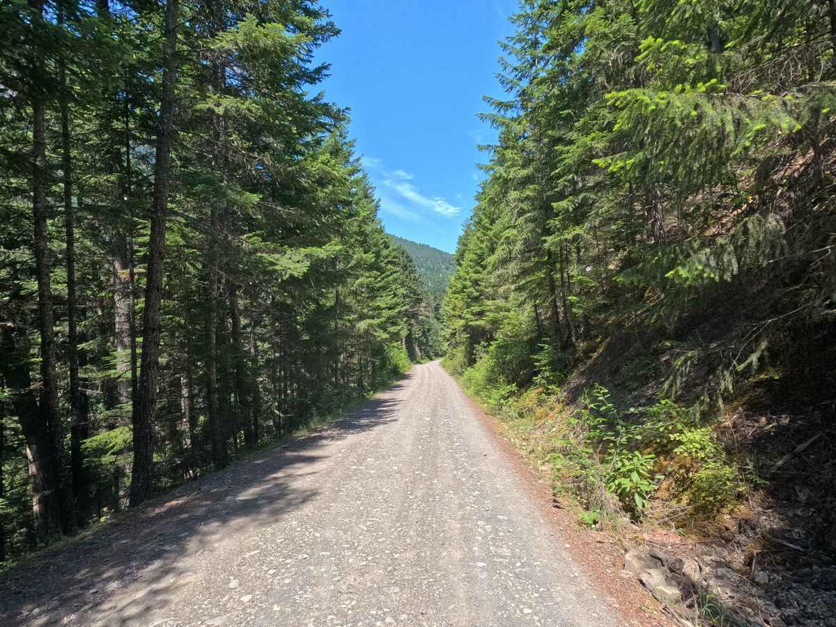
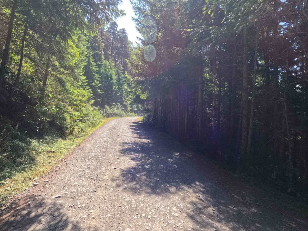
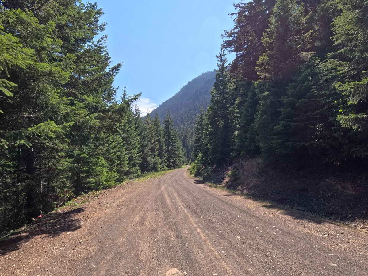
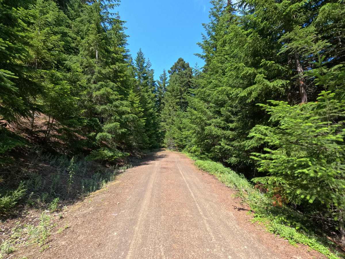
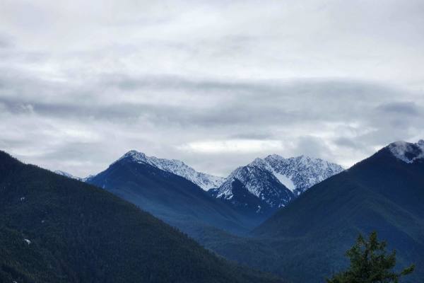
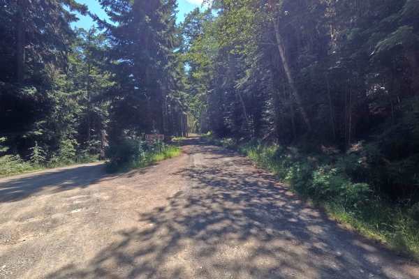
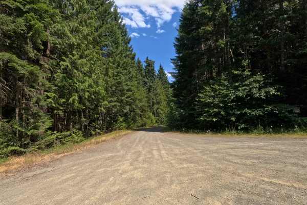
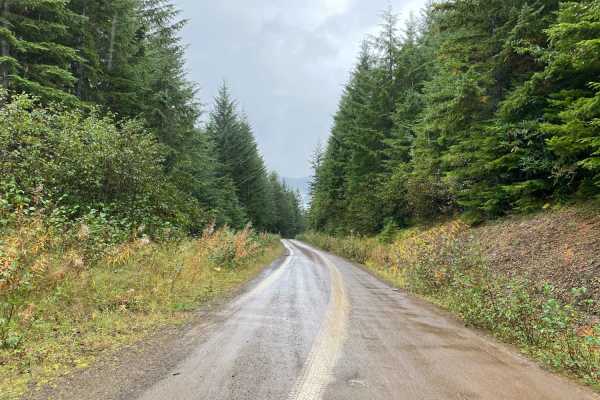
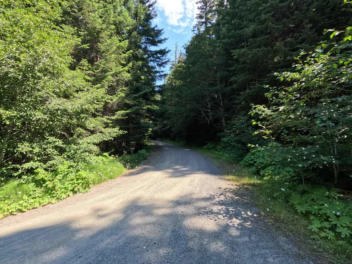
Upper Dungeness Fork - FS 2870 is a 5.0-mile out-and-back route open to street-legal vehicles. This wide, single-lane gravel road travels through Olympic National Forest and is gated at the entrance, although the Motor Vehicle Use Map (MVUM) does not indicate a seasonal closure. The route is generally smooth with only occasional potholes and provides access to several hiking trailheads, numerous dispersed campsites, and intermittent views of the Olympic Mountains through the trees.

Photos of Upper Dunegeness Fork - FS 2870

Difficulty

Upper Dungeness Fork - FS 2870 is rated Easy. The road is wide, well-maintained, and primarily gravel, with only sparse potholes and no significant technical obstacles. It is suitable for high-clearance vehicles under normal conditions.

Technical Rating

2

Upper Dunegeness Fork - FS 2870 Trail can be accessed by the following ride types:

  • High Clearance
  • Full Width

Upper Dunegeness Fork - FS 2870 Map

The onX Offroad Difference

onX Offroad combines trail photos, descriptions, difficulty ratings, width restrictions, seasonality, and more in a user-friendly interface. Available on all devices, with offline access and full compatibility with CarPlay and Android Auto. Discover what you're missing today!

Open Trail Map