Trail Overview
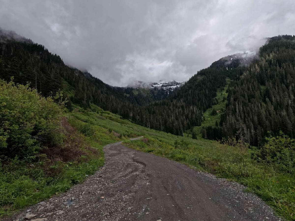
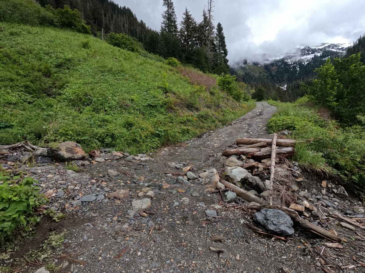
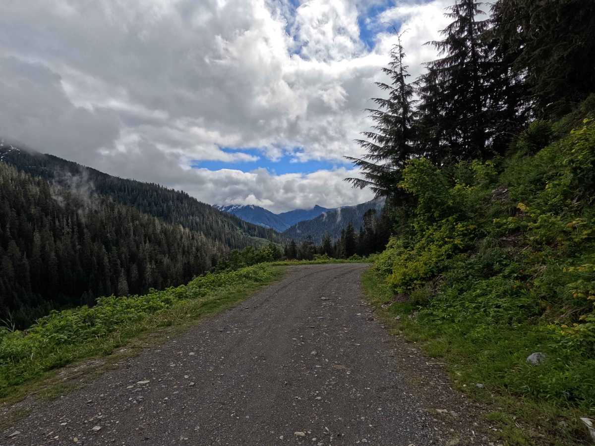
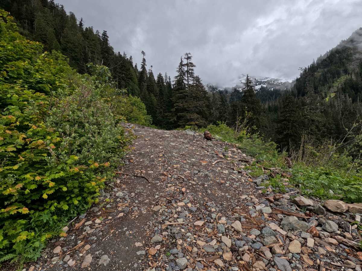
Twin Lakes Road is a 6.9-mile out-and-back route that climbs 3,179 feet into the mountains on a rough, single-lane gravel road. The trail features steep switchbacks, narrow road sections, and increasingly rugged terrain as it gains elevation. Two passable washouts are encountered near mile 4.5, adding to the challenge of the upper portion of the route. The final switchbacks are the most demanding part of the drive, requiring careful vehicle placement and confidence behind the wheel. The route provides access to the Twin Lakes area and offers a driving experience that can be described as Washington's miniature version of Black Bear Pass. Twin Lakes Road is open year-round to highway-legal vehicles.
Difficulty
Twin Lakes is a challenging route best suited for high-clearance 4WD vehicles and confident drivers. The primary difficulties come from the steep switchbacks, narrow shelf road sections, rough road surface, and two washouts near mile 4.5. While the washouts are passable, they require attention and may be intimidating to inexperienced drivers. The final switchbacks are particularly steep and exposed, making careful vehicle placement important. Although the trail lacks large rock-crawling obstacles, the combination of exposure, narrow road conditions, and steep terrain makes it one of the more demanding drives in the area. Weather conditions can significantly increase difficulty, particularly when the road is wet. As with most trails in the area, bringing a chainsaw or equipment to clear fallen trees is recommended.