Trail Overview
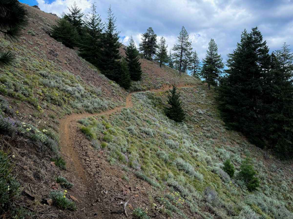
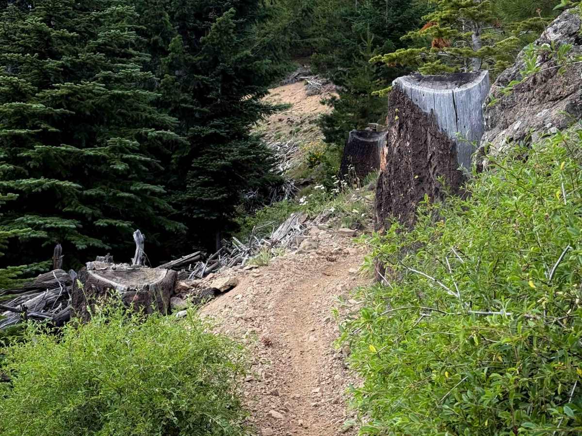
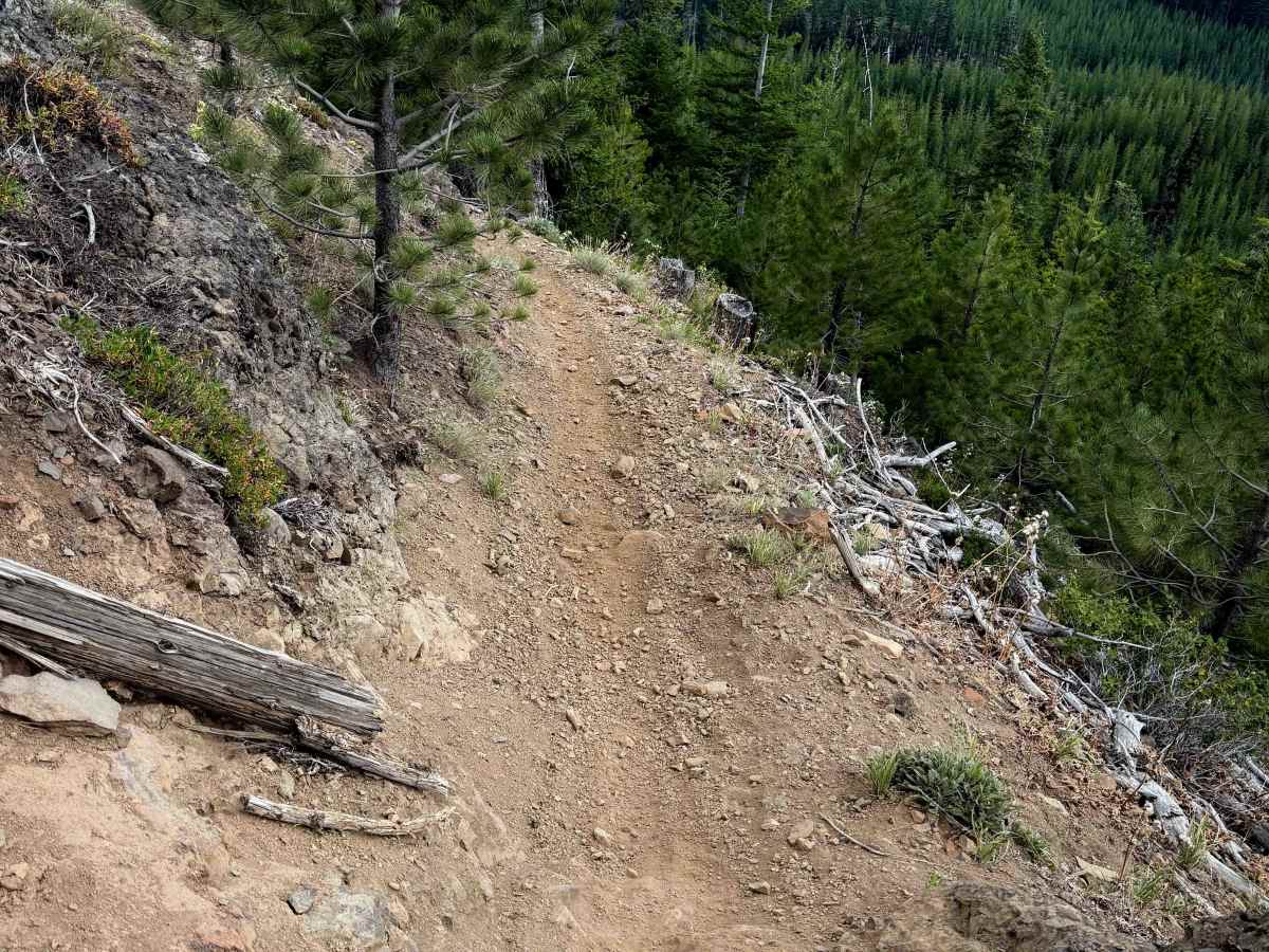
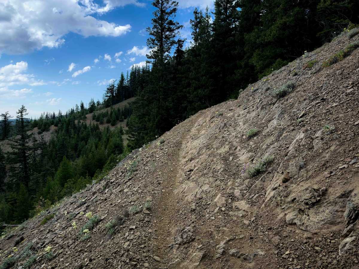
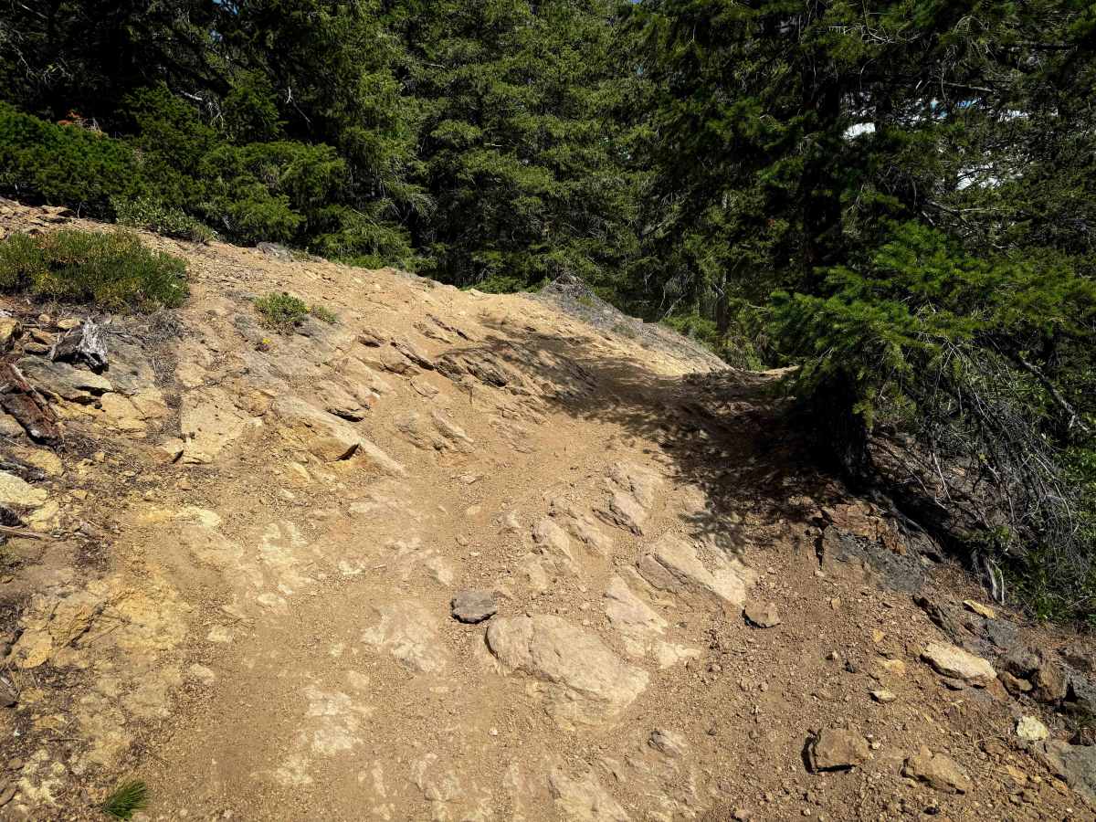
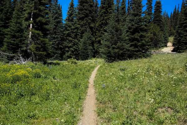
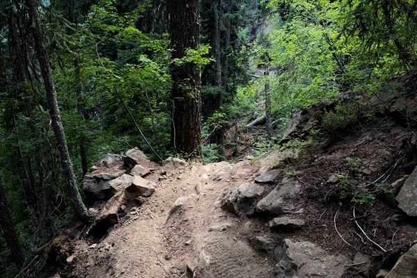
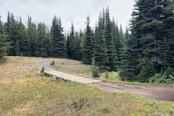
Taneum Ridge is one of the easier ridge trails in the Manastash-Taneum trail system. Although it’s a long trail, at 12.6 miles long, it is mostly gradual and mostly fast and flowy, with infrequent small root and rock obstacles. The west end of the trail starts off with a series of about 8 switchbacks descending down a hillside to the Four Corners intersection with the South Fork Taneum trail. The switchbacks are wide and gradual and flowy and easy. This section of trail had some brake bumps, but had also recently been graded and smoothed out, and it looks like there is frequent trail maintenance in this trail system to keep the trails from eroding or getting blown out. From here, it goes through a logging area on a narrow, but mostly smooth, dirt trail. It continues along the Taneum Ridge, as a mix of side-hilling and ridge line riding, with some narrow spots with mild exposure, mild switchbacks, and fast and flowy sections through dense forest. There are a few steeper spots of climbing or descending, with loose dirt, small roots, and embedded rock layers, but overall it is pretty approachable for average riders with some basic experience, and is much easier than some of the rocky and exposed trails nearby.
Difficulty
This is a moderately easy trail that is great for average riders with basic experience, but riders should still be cautious in a few narrow spots with mild exposure. There are gradual switchbacks and minor rocks and roots, but overall it is much easier than many of the other nearby ridge trails. The trail is mostly gradual, smooth, and flowy for a lot of the route. However, it is a long route with not many bailouts.