South Lyre

Total Miles1.4
Technical Rating
3Easy
Best TimeSpring, Summer, Fall
Trail Type50" Trail
Accessible By
Open Trail Map

Trail Overview

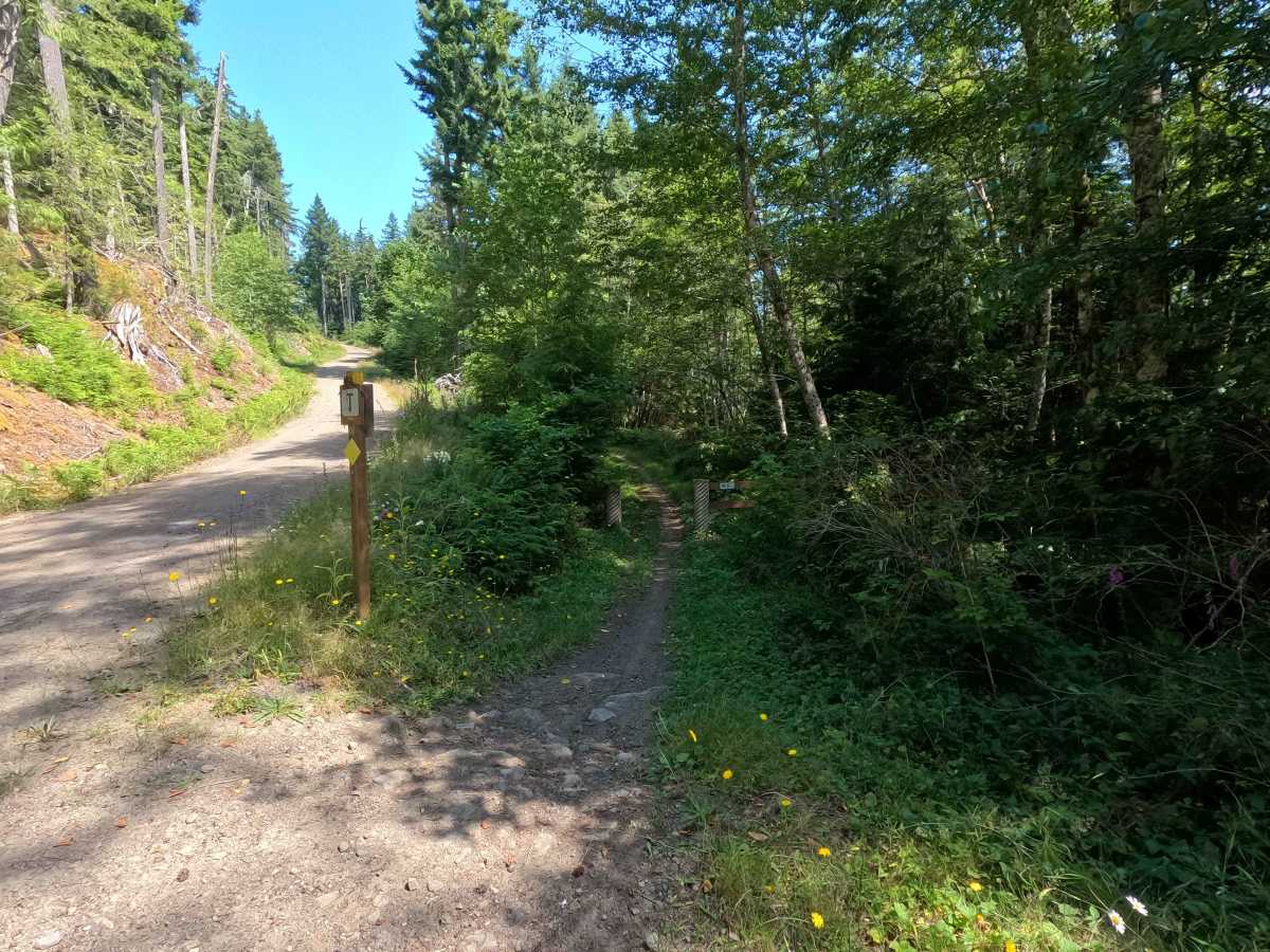
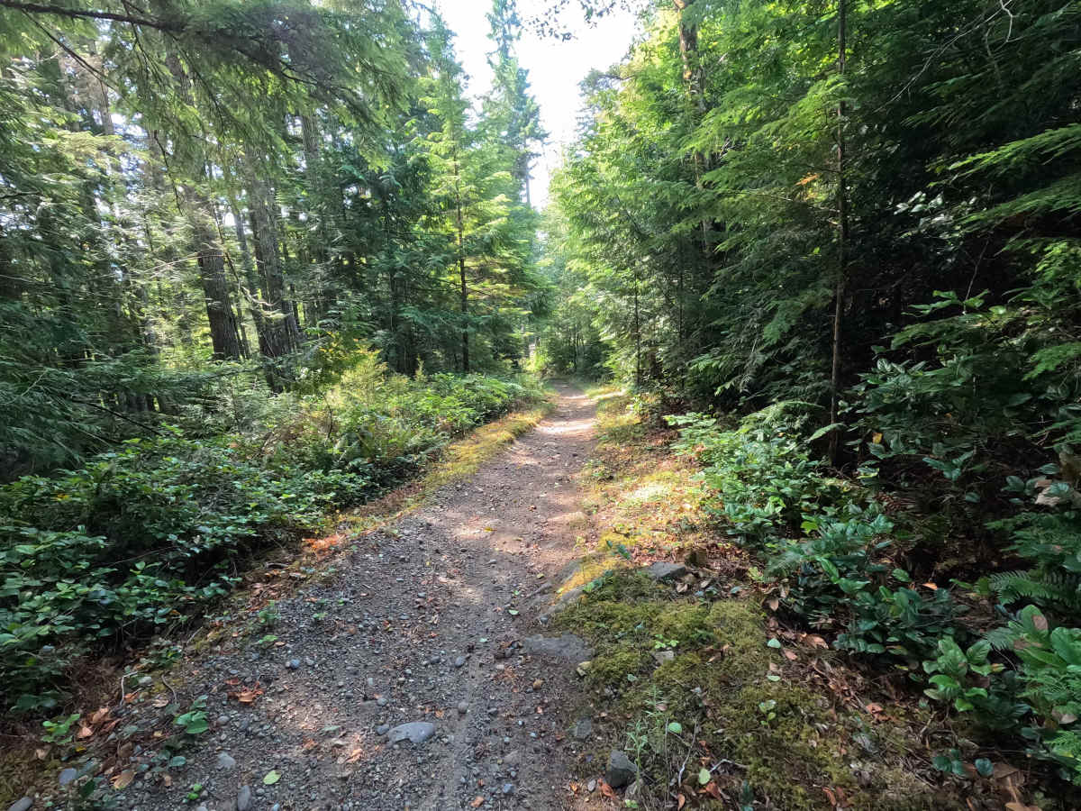
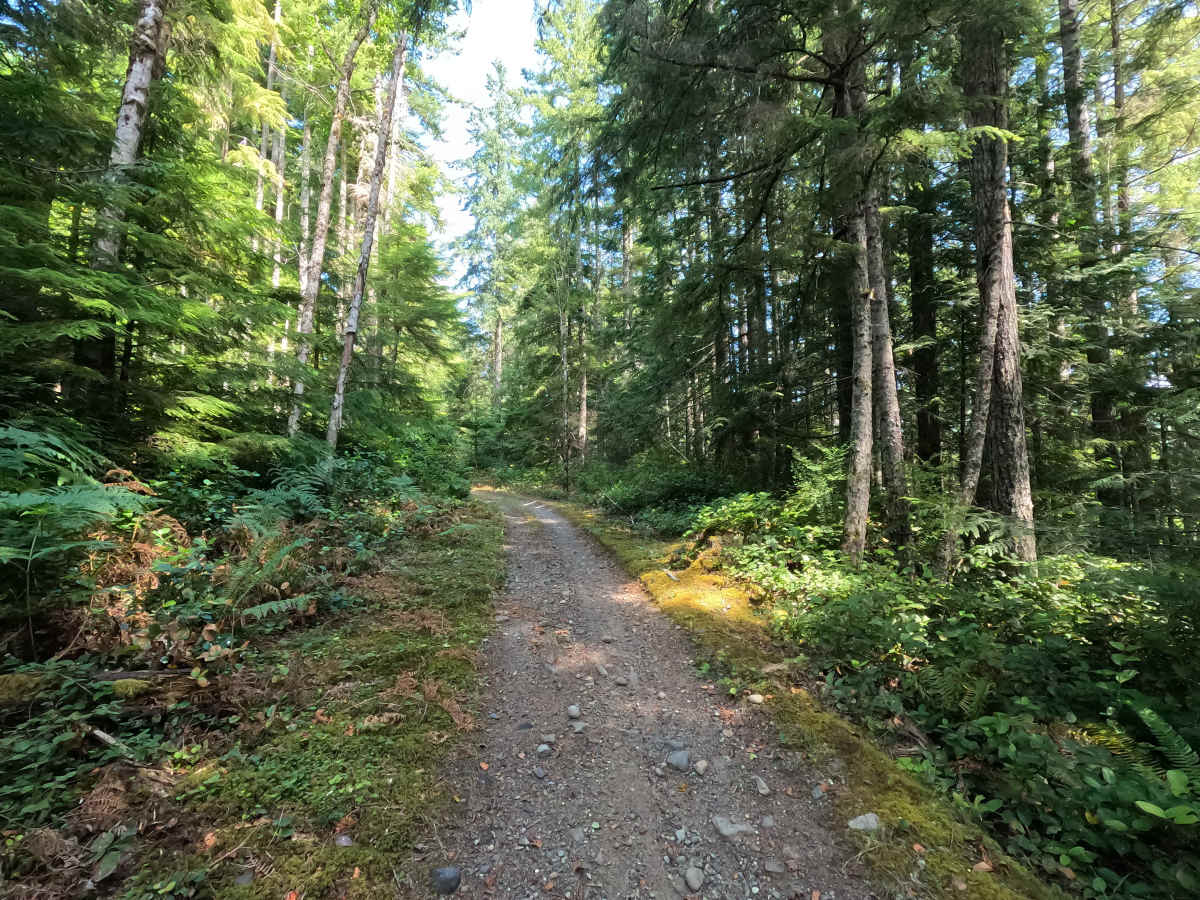
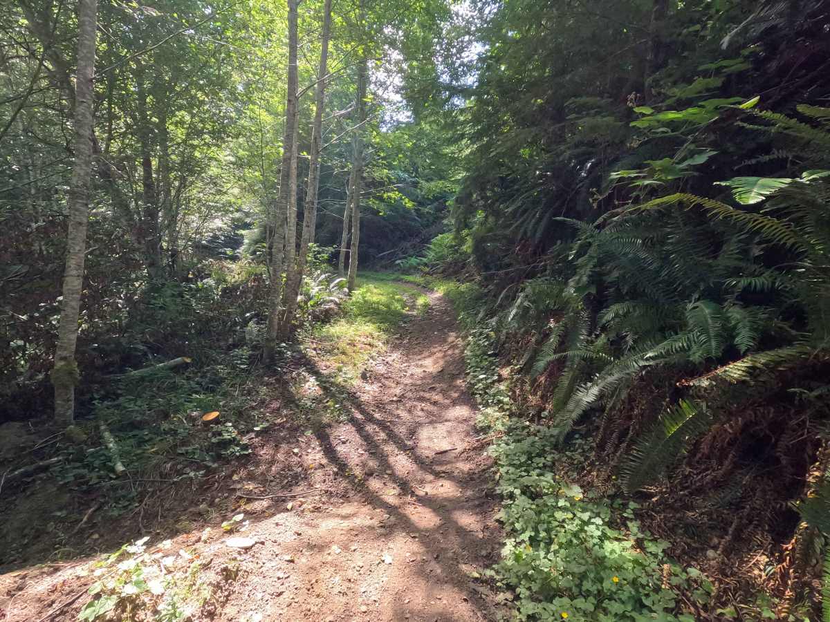
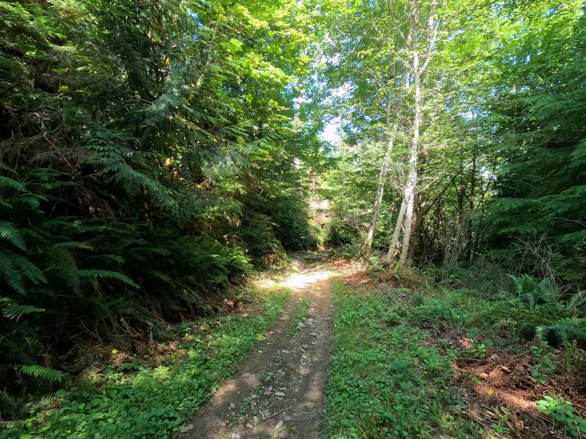
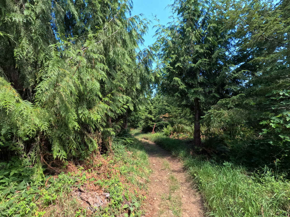
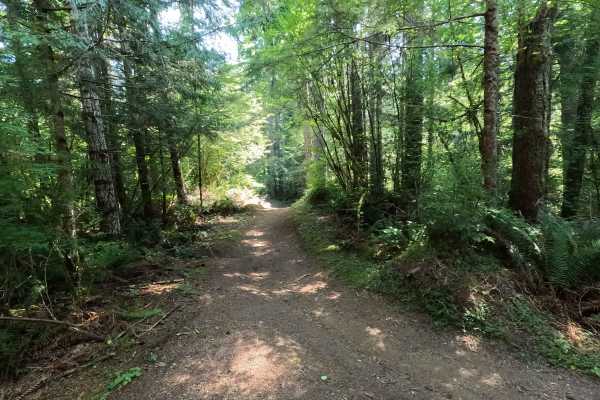
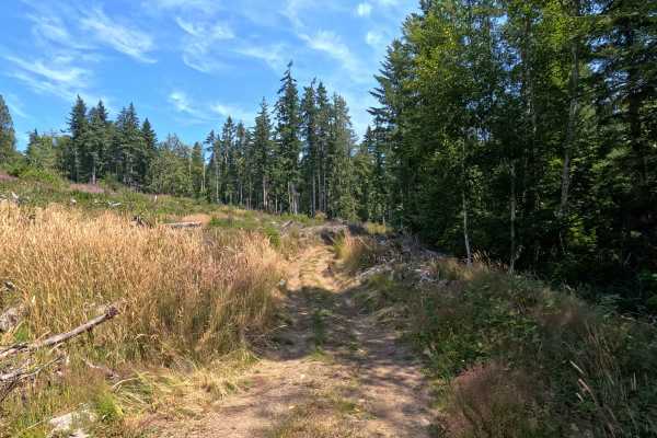
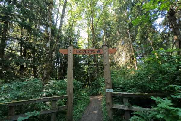
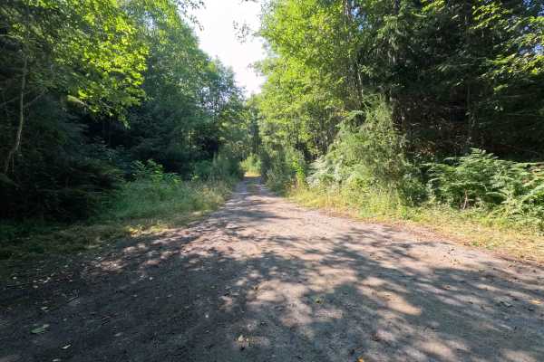
South Lyre is a 1.5-mile point-to-point trail open to vehicles 50 inches wide or less. From the southern end, the trail begins with a firm dirt base covered in loose rock before descending into a lush rainforest. Riders will encounter several steep, tight switchbacks through the forest before the trail transitions into a smooth, flowing ride for the remainder of the route. A Discover Pass is required for recreation and parking within the Sadie Creek ORV Area.

Photos of South Lyre

Difficulty

South Lyre features loose rock at the southern end, and the series of steep, sharp switchbacks requires good throttle and braking control, particularly in wet conditions. Once through the switchbacks, the trail becomes much smoother and more forgiving, making the second half an enjoyable flowing ride through the forest.

Technical Rating

3

South Lyre Trail can be accessed by the following ride types:

  • Single Track
  • 50 Inch

South Lyre Map

The onX Offroad Difference

onX Offroad combines trail photos, descriptions, difficulty ratings, width restrictions, seasonality, and more in a user-friendly interface. Available on all devices, with offline access and full compatibility with CarPlay and Android Auto. Discover what you're missing today!

Open Trail Map