Smith Creek Road

Total Miles14.6
Technical Rating
2Easy
Best TimeSpring, Summer, Fall
Trail TypeFull-Width Road
Accessible By
Open Trail Map

Trail Overview

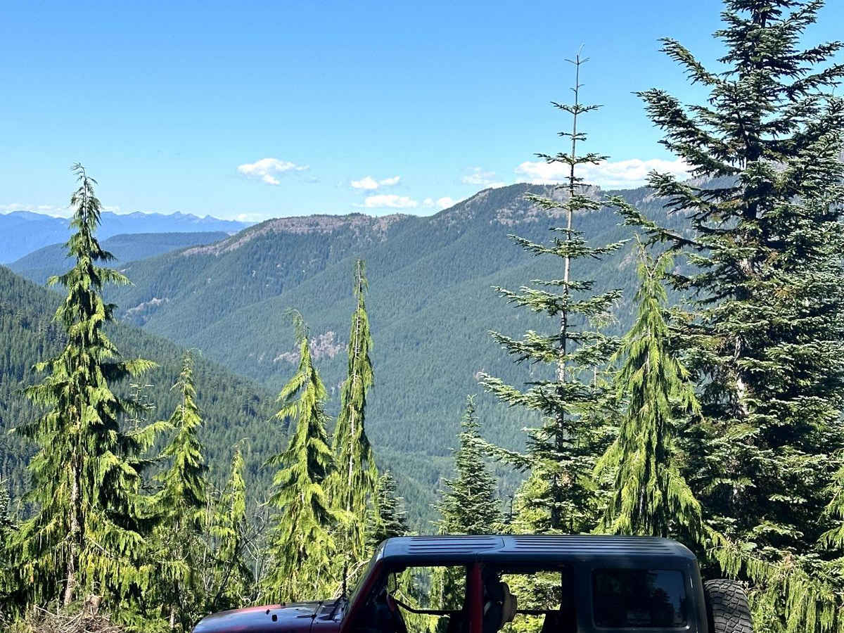
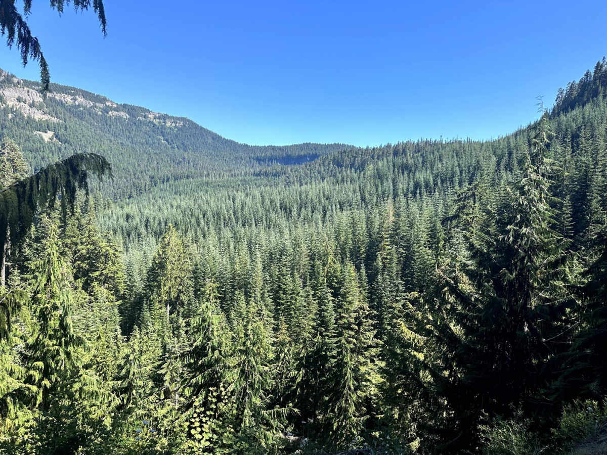
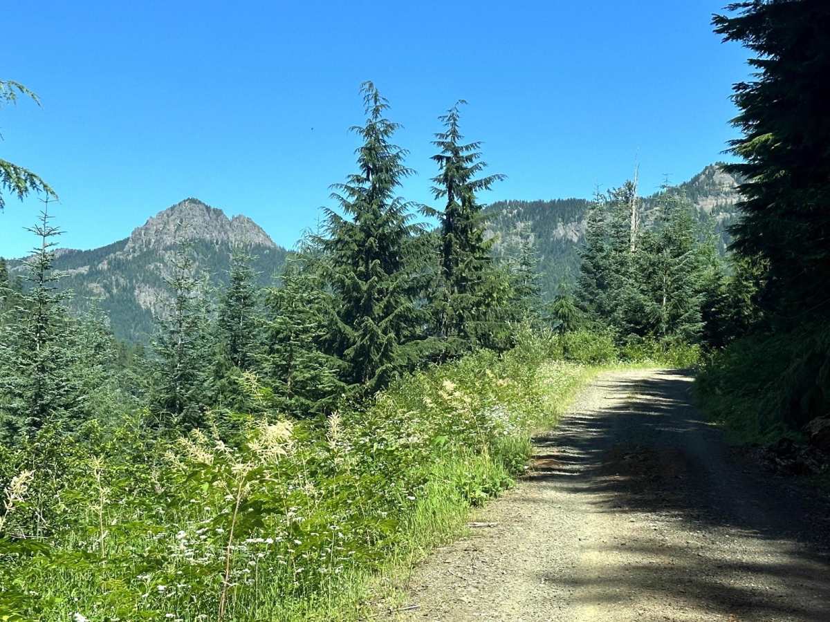
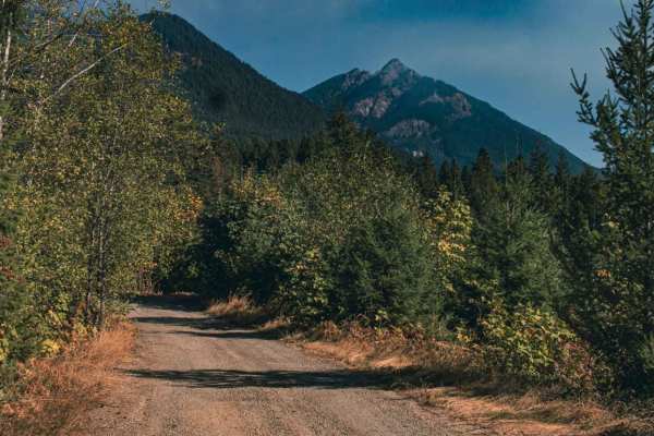
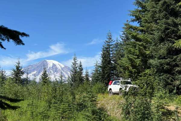
This 30.4-mile out-and-back trail runs along Smith Creek in the Gifford-Pinchot National Forest and ends at a beautiful mountain vista point where you can see the south side of Mount Rainer. This trail is loaded with great mountain views along the trail. There are also some small waterfalls. There is a connection along this trail to the Klickitat Hiking trail, also the trailhead for South Point Lookout. This trail is passable by high clearance 2WD vehicles, AWD, and 4WD vehicles.

Photos of Smith Creek Road

Difficulty

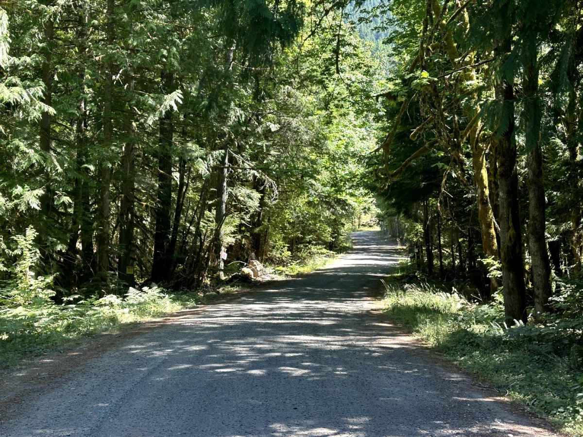
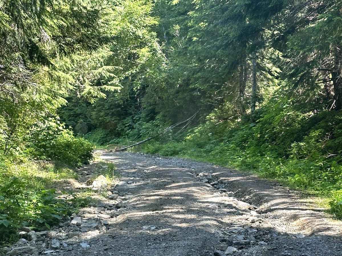
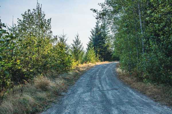
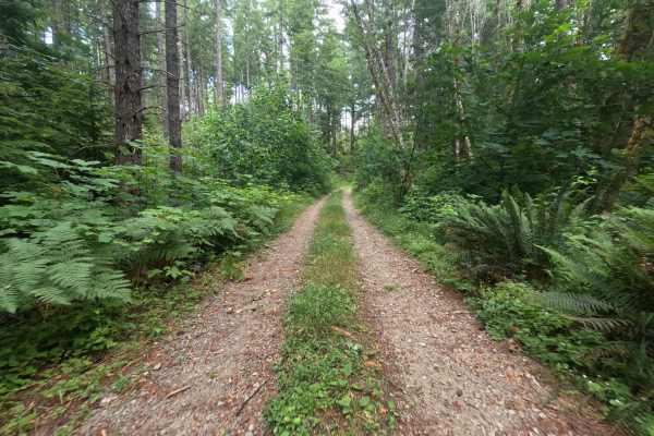
This is a single-vehicle road with turn-outs, and mud holes less than 12" in depth.

Technical Rating

2

Status Reports

Add Status Report
Jayson Jackson
May 22, 2025
Obstructed
Deep Snow
Clear until 4000ft then blocked by snow.
Austin L
Aug 03, 2024
2002 Chevrolet Silverado
Open
NormalDusty
Some downed trees partially protruding into the road, but totally possible for anything with decent clearance or narrower than a 250/2500 class vehicle. Only two spots were the ground clearance on the Silverado we were in was really needed, otherwise a really easy climb for anything with even semi decent AWD. Great views the whole way up, multiple waterfalls even in the middle of summer with almost no rain the whole season. The best views are honestly had before the end of the trail though

Smith Creek Road Trail can be accessed by the following ride types:

  • Single Track
  • 50 Inch
  • 60 Inch
  • High Clearance
  • Full Width

Smith Creek Road Map

The onX Offroad Difference

onX Offroad combines trail photos, descriptions, difficulty ratings, width restrictions, seasonality, and more in a user-friendly interface. Available on all devices, with offline access and full compatibility with CarPlay and Android Auto. Discover what you're missing today!

Open Trail Map