Trail Overview
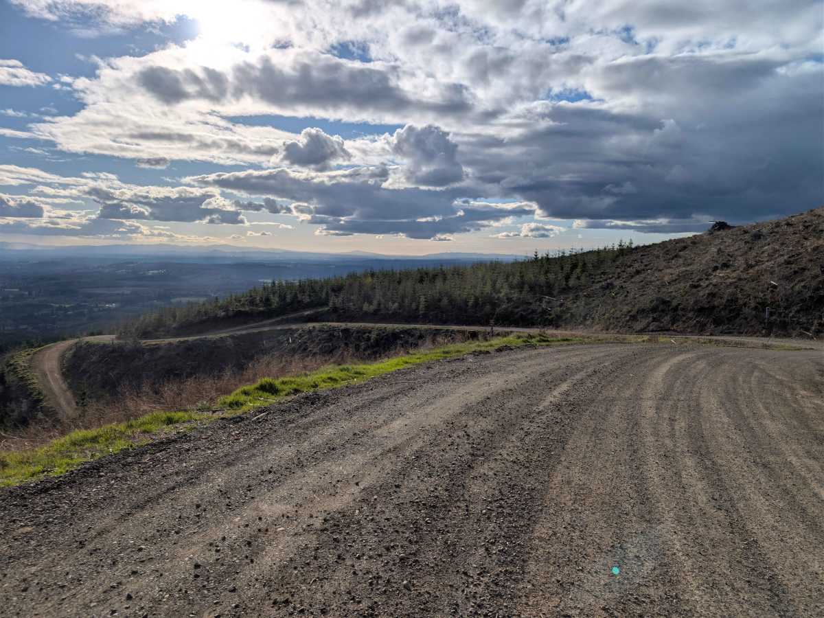
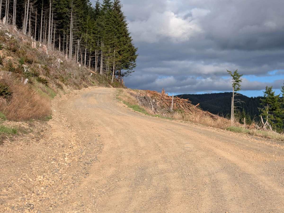
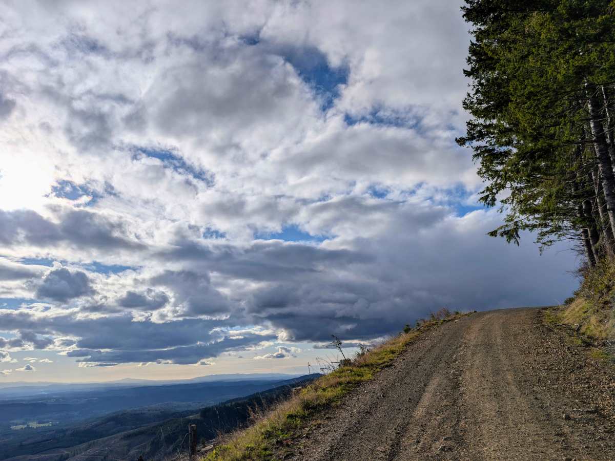
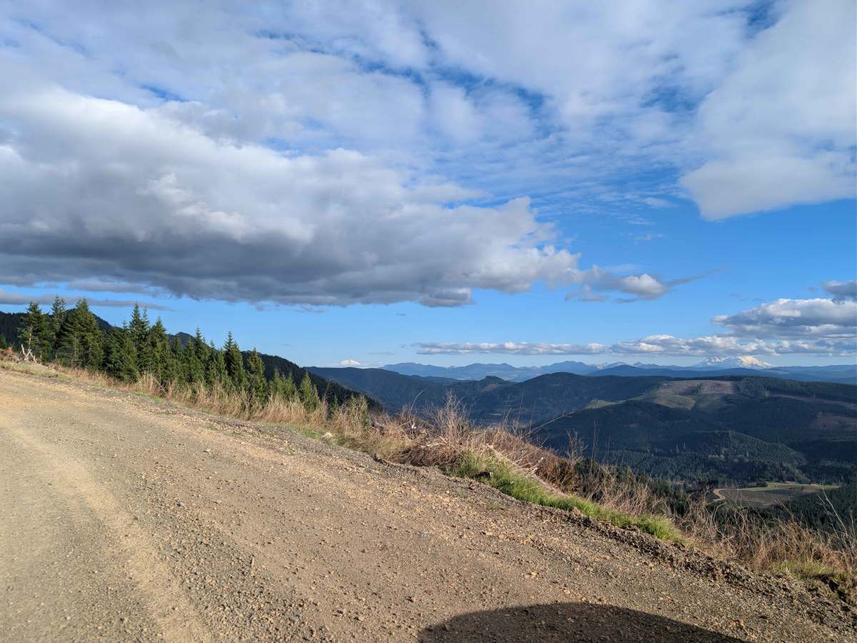
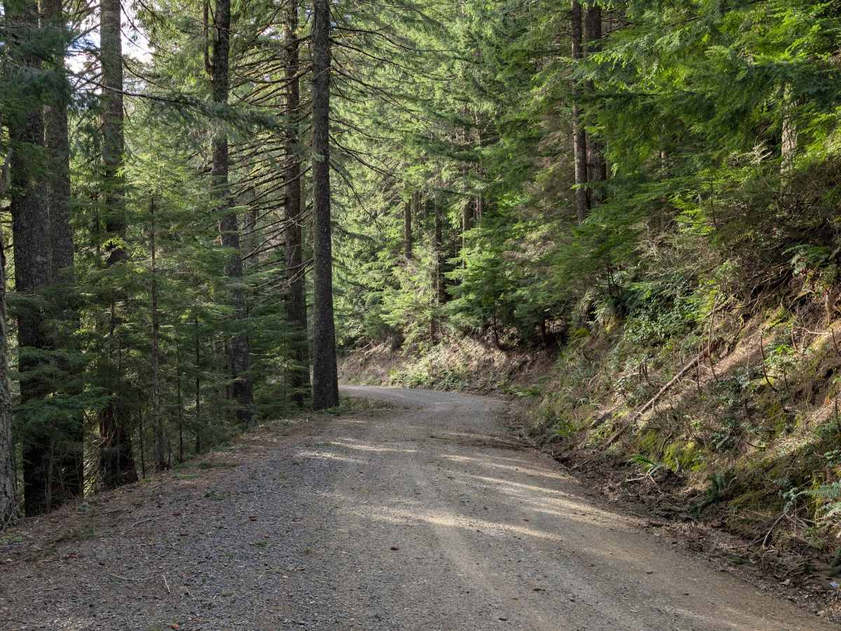
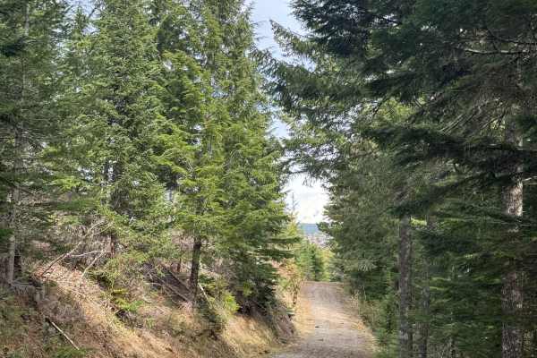
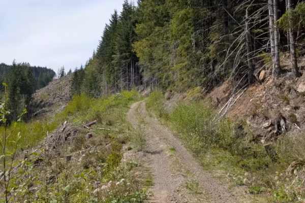
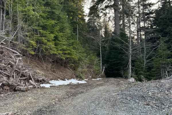
Scale Shack (Forest Road 71) is a highly accessible, well-maintained dirt and gravel route that provides maximum scenic payoff with minimal technical stress. The road is wide enough to comfortably pass oncoming traffic for the vast majority of the drive. The route rises quickly right out of the gate, carrying you up a roughly 6-degree incline along exposed ridgelines. Eventually, the trail weaves back into the dense, shaded timberline where you will tackle a short, slightly steeper 10-degree incline. The surface remains consistently smooth throughout, making it an easy, relaxing cruise whether you are in a mid-size truck, an AWD crossover, or exploring the forest roads on a dual-sport motorcycle. The true highlight of this route is the sprawling Pacific Northwest backdrop. As you climb the initial ridge, the tree line breaks to provide massive, unobstructed views of Mount St. Helens, the waters of Lake Mayfield, and occasional glimpses of Mount Adams on a clear day. There are several spacious pull-offs along the way, making it incredibly easy to park and take in the scenery without blocking the trail. Near the end of the main route, there is also a short, optional side road leading up to a radio tower if you want to do a little extra exploring before heading back down or continuing on to the many trails in the area.
Difficulty
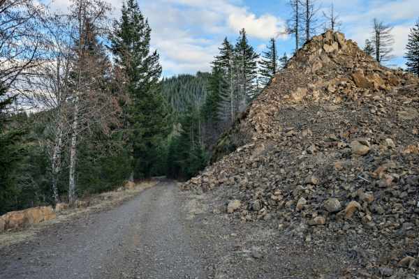
This is a wide, well-maintained dirt and gravel road with no technical obstacles, deep ruts, or water crossings. It easily accommodates two-way traffic. While there are mild 6 to 10-degree inclines, traction is consistent. High clearance or 4WD is not required; it is easily driven by stock AWD vehicles, 2WD trucks, or motorcycles in dry conditions.