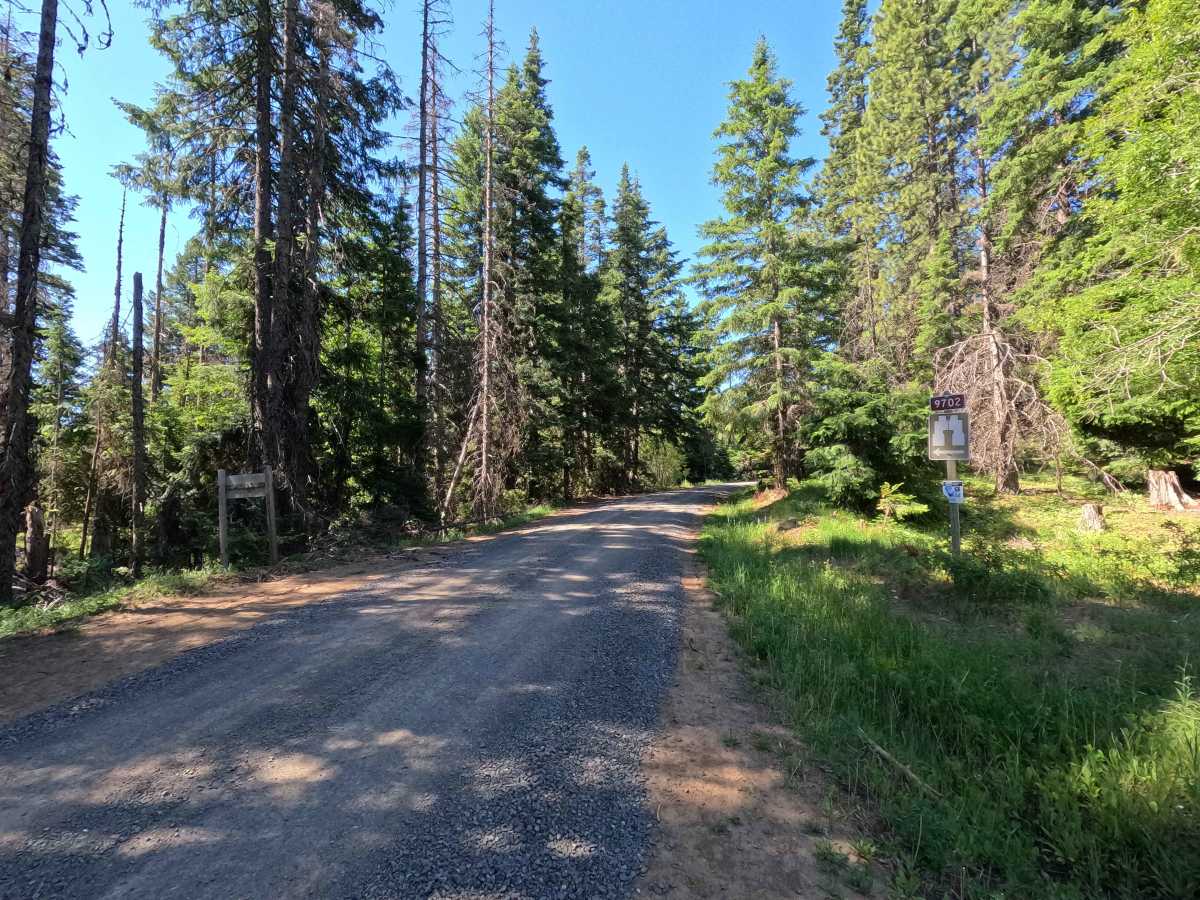
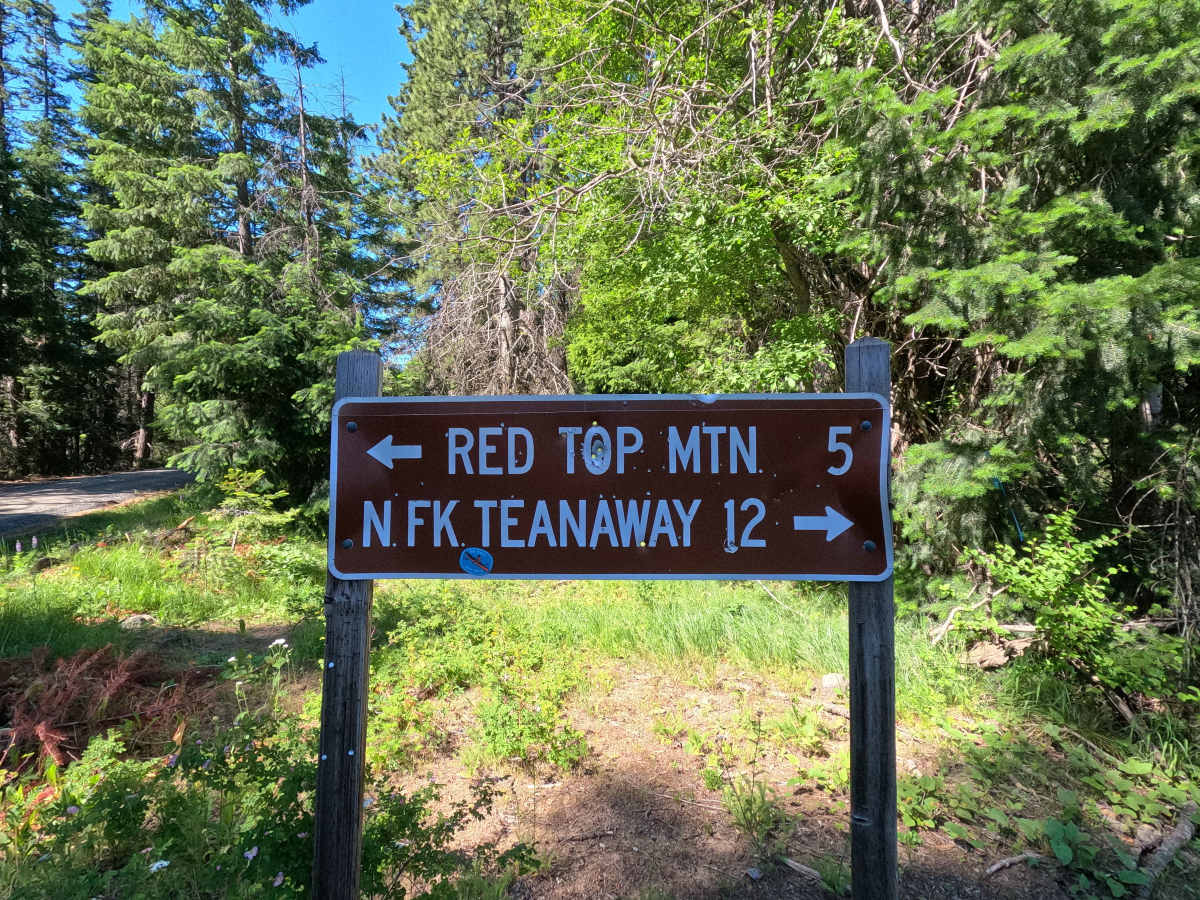
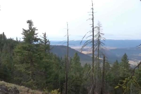
Trail Overview
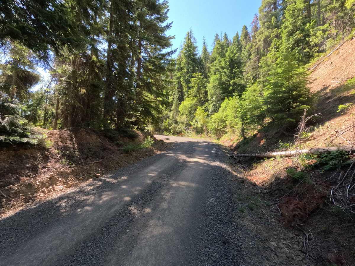
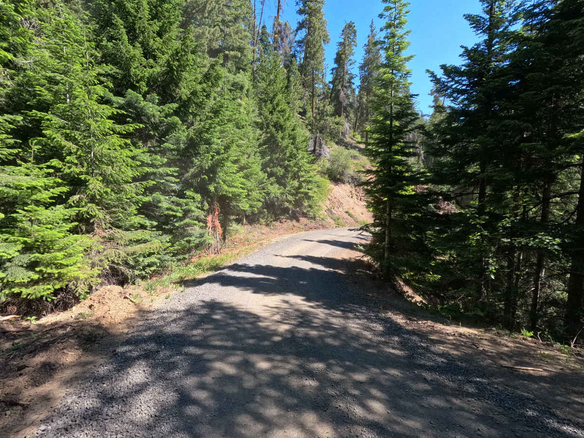
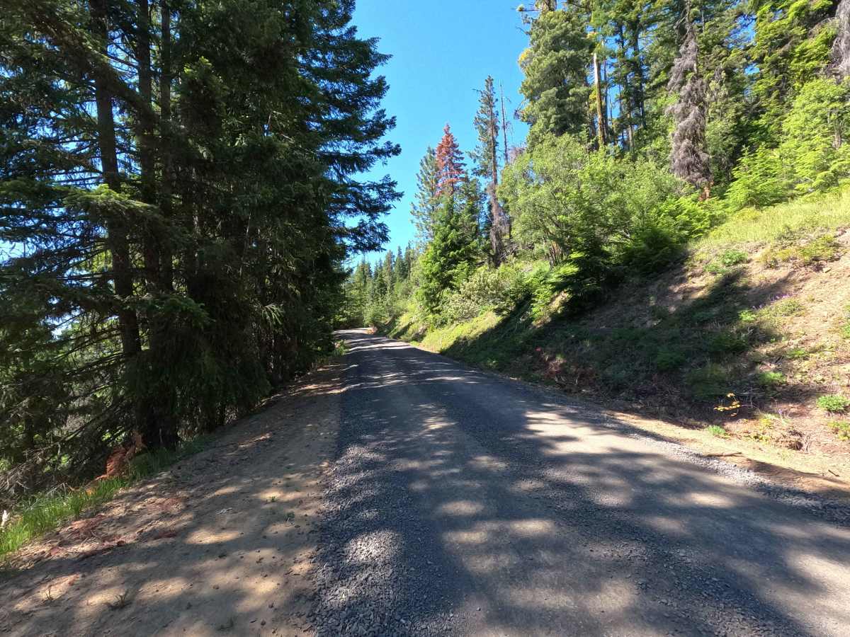
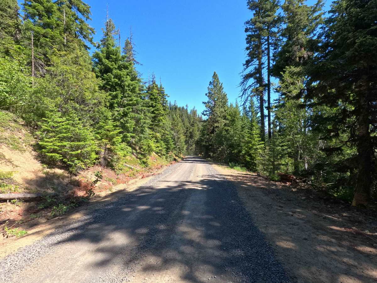
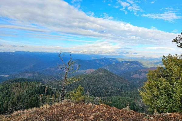
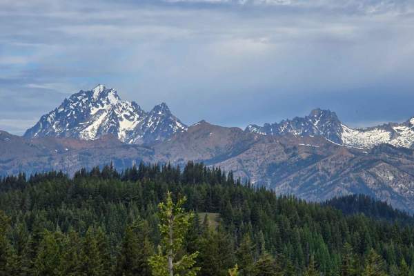
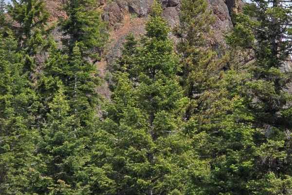
Red Top Lookout is a 4.7-mile out-and-back route that climbs 1,520 feet to the historic Red Top Mountain Lookout. The single-lane gravel road gains elevation quickly, with several steep sections and occasional narrow stretches along the climb. Mild rutting is present in a few areas, but the road is generally well-maintained. Along the way, the route provides access to several 4x4 trails, the Red Top Trailhead, and other recreation opportunities on Red Mountain. The road ends at a small turnaround with parking and a trail leading to the Red Top Lookout, where visitors are rewarded with expansive views of the North Cascades, Mount Rainier, and Mount Adams.
Difficulty
Red Top Lookout is an easier route featuring a sustained climb, steeper grades, and occasional narrow road sections. While the road surface is generally straightforward, the route gains over 1,500 feet in less than 5 miles, resulting in several steep sections that may require lower gearing for some vehicles. Mild rutting and loose gravel can reduce traction in places, particularly after storms. Most high-clearance vehicles should have little difficulty reaching the lookout in dry conditions. As with most forest roads in the area, conditions can change throughout the season due to weather and maintenance activities.