Trail Overview
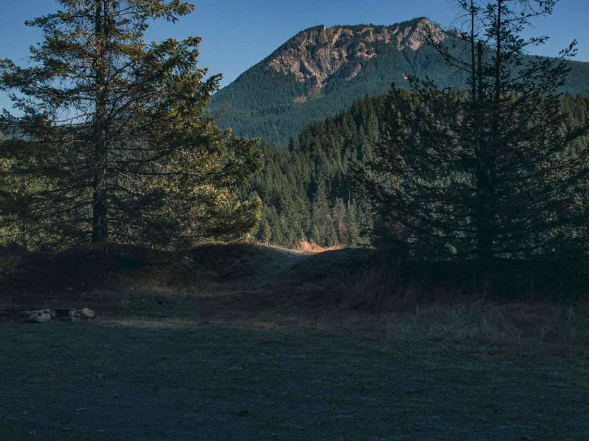
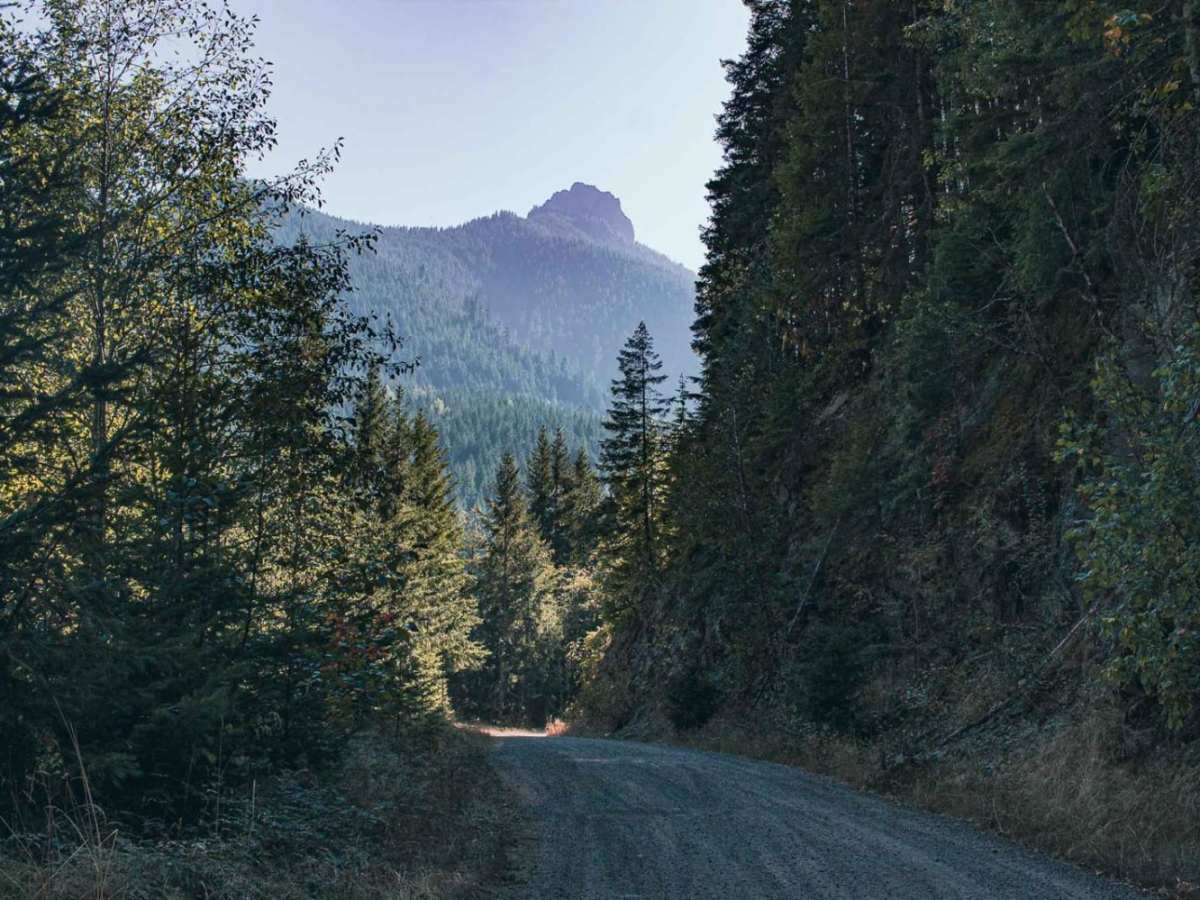
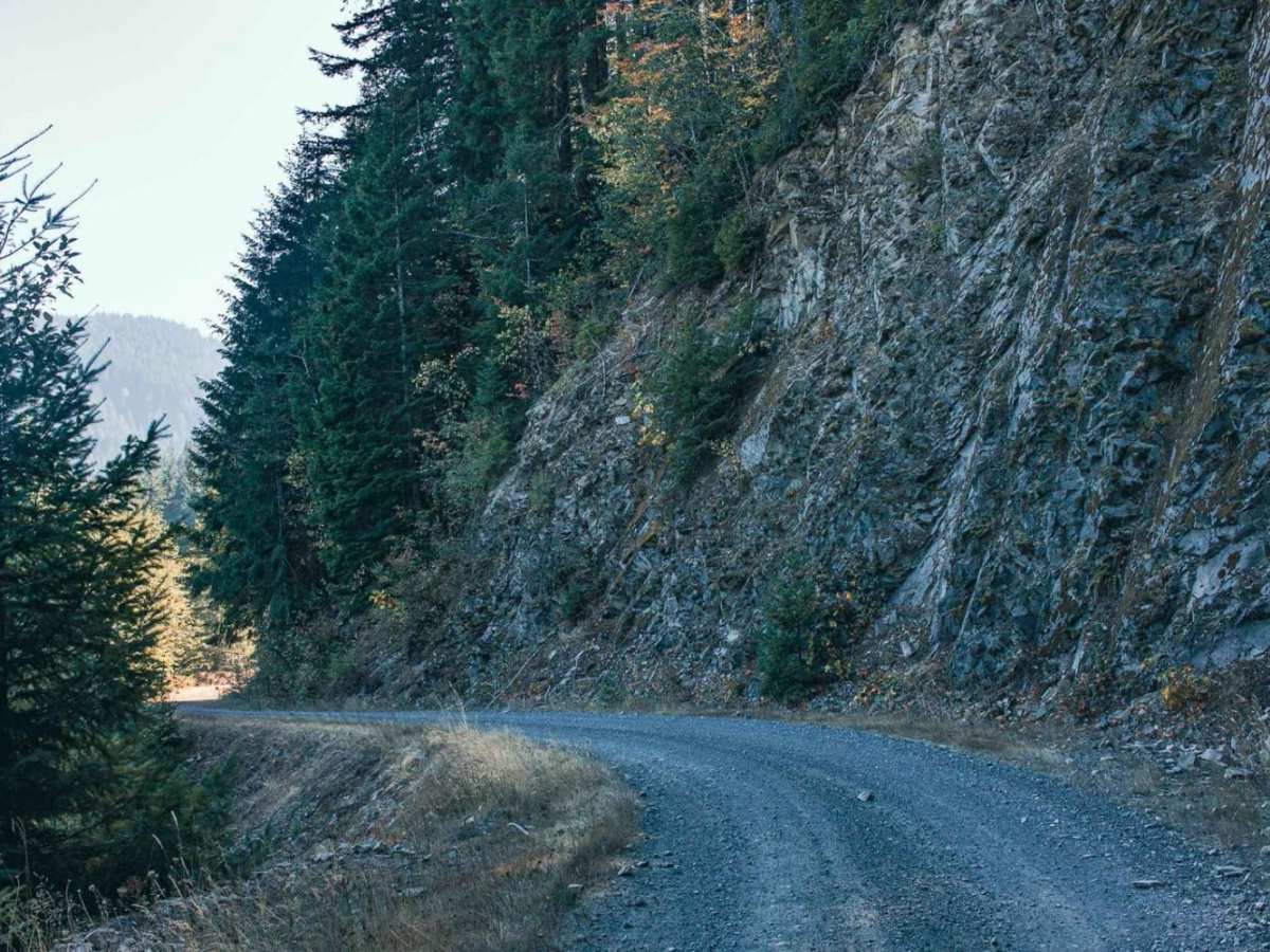
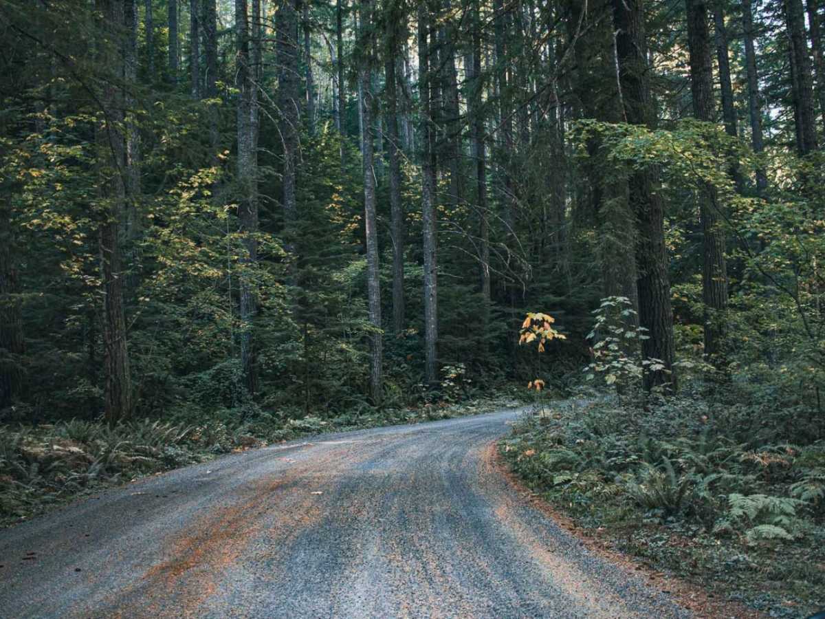
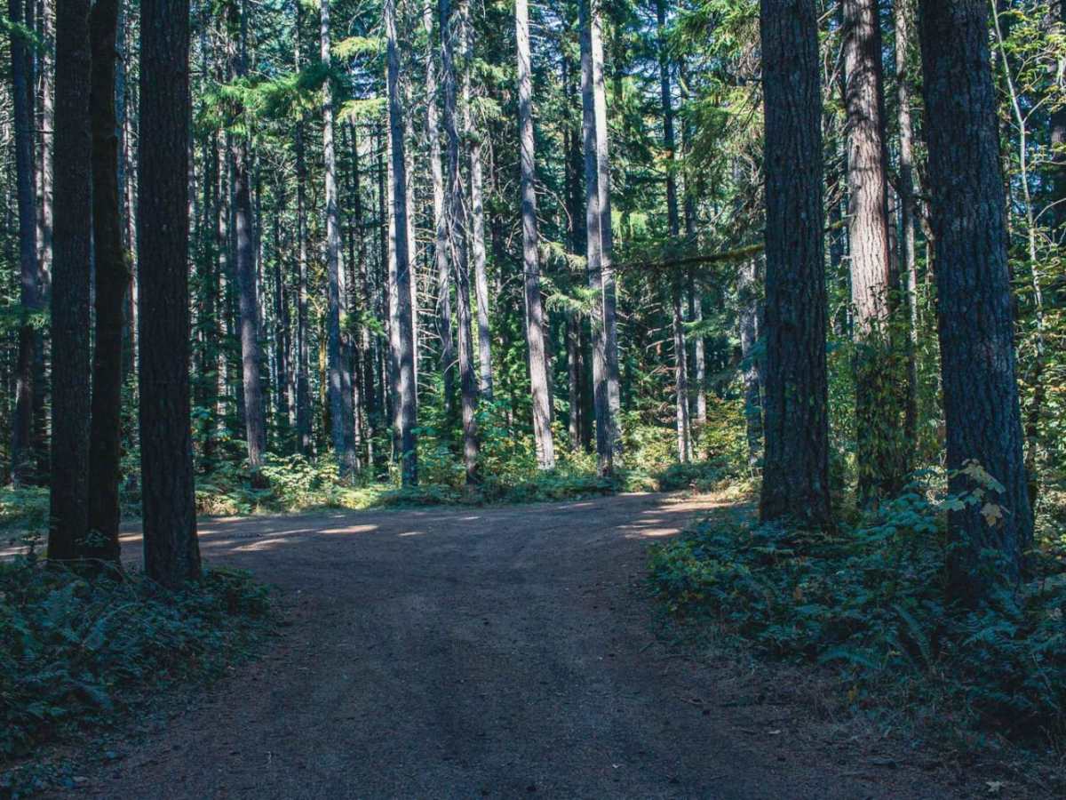
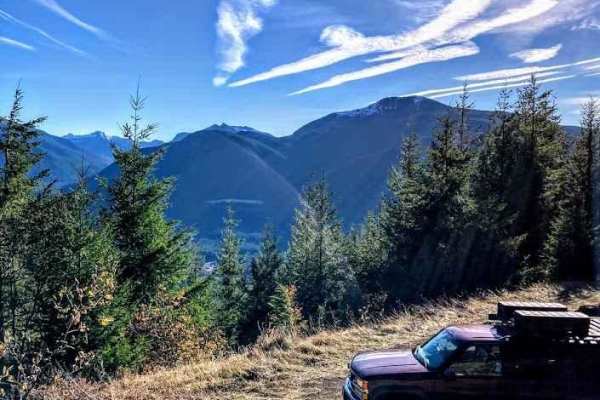
Pinto Road is a scenic 18.1-mile gravel route through the Gifford Pinchot National Forest, ideal for beginners, stock SUVs, and crossovers. Climbing from 1,328 feet to nearly 4,000 feet, the road winds through dense Douglas fir and hemlock forests, offering sweeping views of the Cascade peaks and volcanic rock faces.
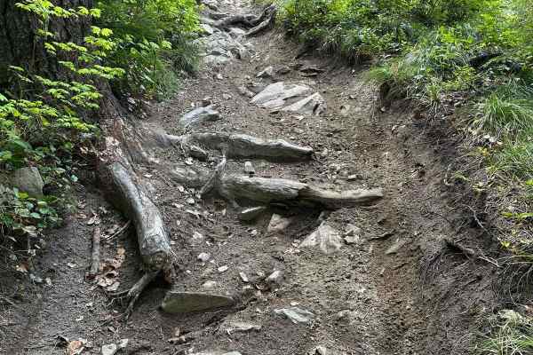
The route features an easy-going gravel surface with occasional potholes and washboards. Dispersed campsites are scattered along the drive, providing quiet overnight options. The road is not maintained in winter and is typically blocked by snow from late fall through spring.
Access Description
The route is located within the Gifford Pinchot National Forest. No fees or permits are required to drive the road, though standard national forest regulations apply for dispersed camping. The road is not maintained for winter travel, and snowpack will block access from late autumn through spring.