Trail Overview
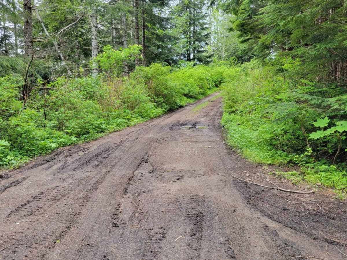
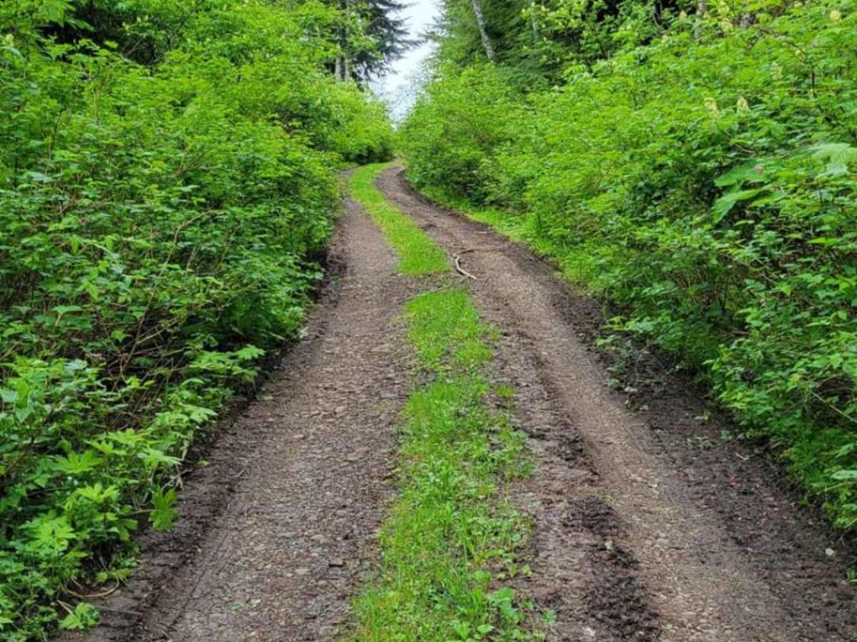
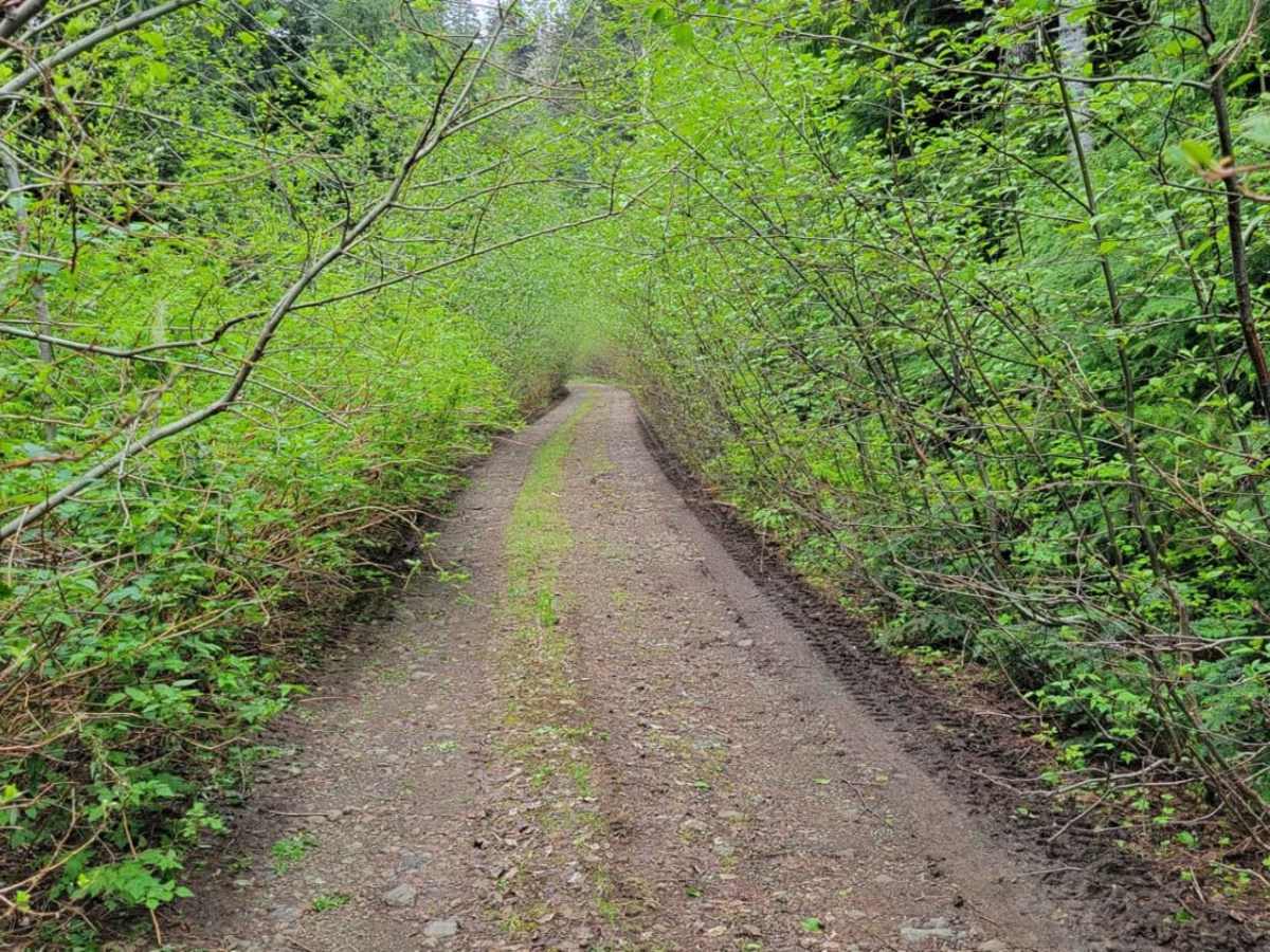
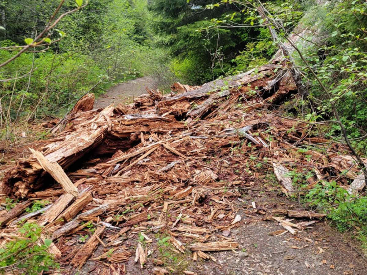
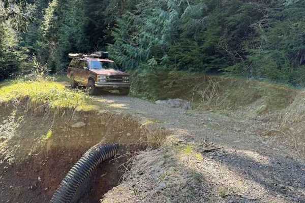
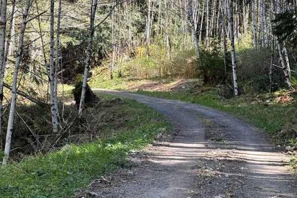
Pinstripe Alley is a short, heavily overgrown route in the Olympic National Forest near the Kloshe Nanitch Lookout, offering a rugged challenge best suited for dirt bikes or narrow off-road vehicles willing to brave tight vegetation. Spanning just over 1.1 miles with elevations ranging from 2,712 to 2,908 feet, this route may look like a promising mountain drive on maps but is actually a tight squeeze. Encroaching branches and thick brush swallow the trail, meaning SxSs, four-wheel-drive trucks, and larger rigs will undoubtedly sustain significant scratches. Multiple water and mud holes dot the trail surface, requiring careful navigation, and a large downed tree eventually blocks the path for all but the most agile dirt bikes, which have managed to create a tight go-around.
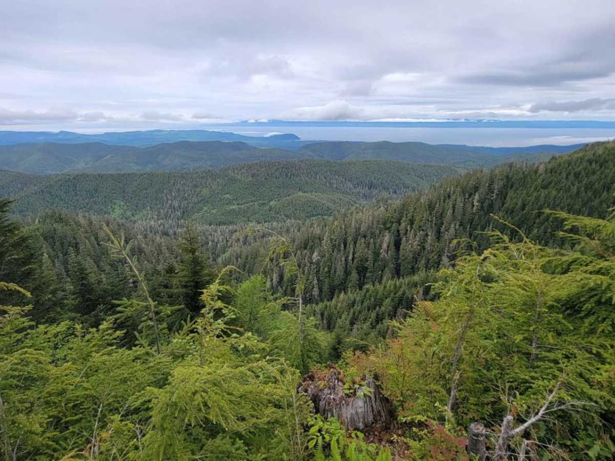
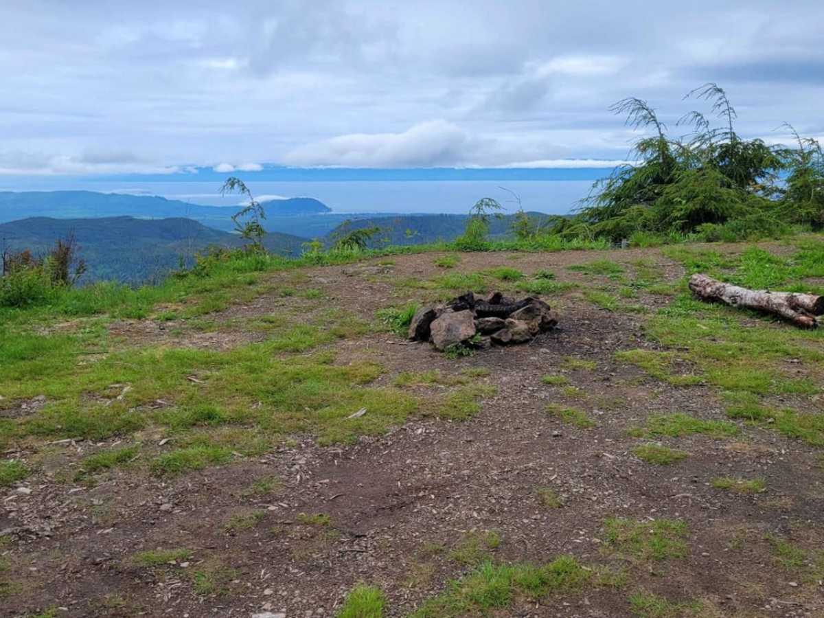
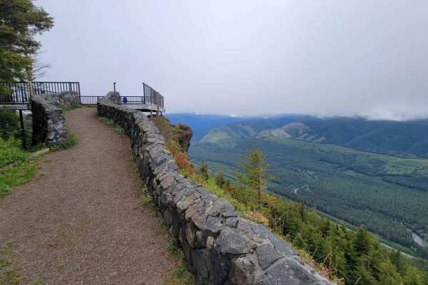
Despite the dense vegetation and unmaintained conditions, the route rewards adventurous travelers with a spectacular scenic overlook to the north, featuring an open clearing and a rock fire ring. The terrain consists of dirt and loose rock, typical of unmaintained Pacific Northwest forest roads after heavy rain or winter snow. Because of the trail's location near the Olympic Peninsula, expect wet and muddy conditions through much of the year, with seasonal snow blocking access during the winter months. Traveling this route requires a high-clearance four-wheel-drive vehicle or dirt bike, along with a willingness to navigate tight obstacles and low-hanging branches.
Difficulty
Dirt or rocky road, typically unmaintained after rain or snow. You may encounter shallow water crossings and obstacles under 12" on the trail, including small ledges. Roads are typically one to two vehicles wide.