Trail Overview
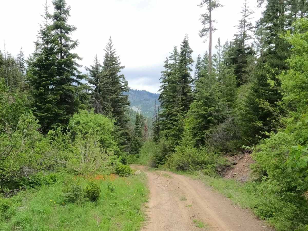
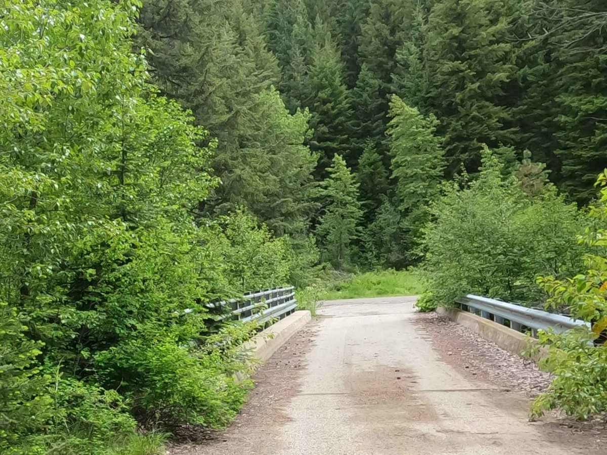
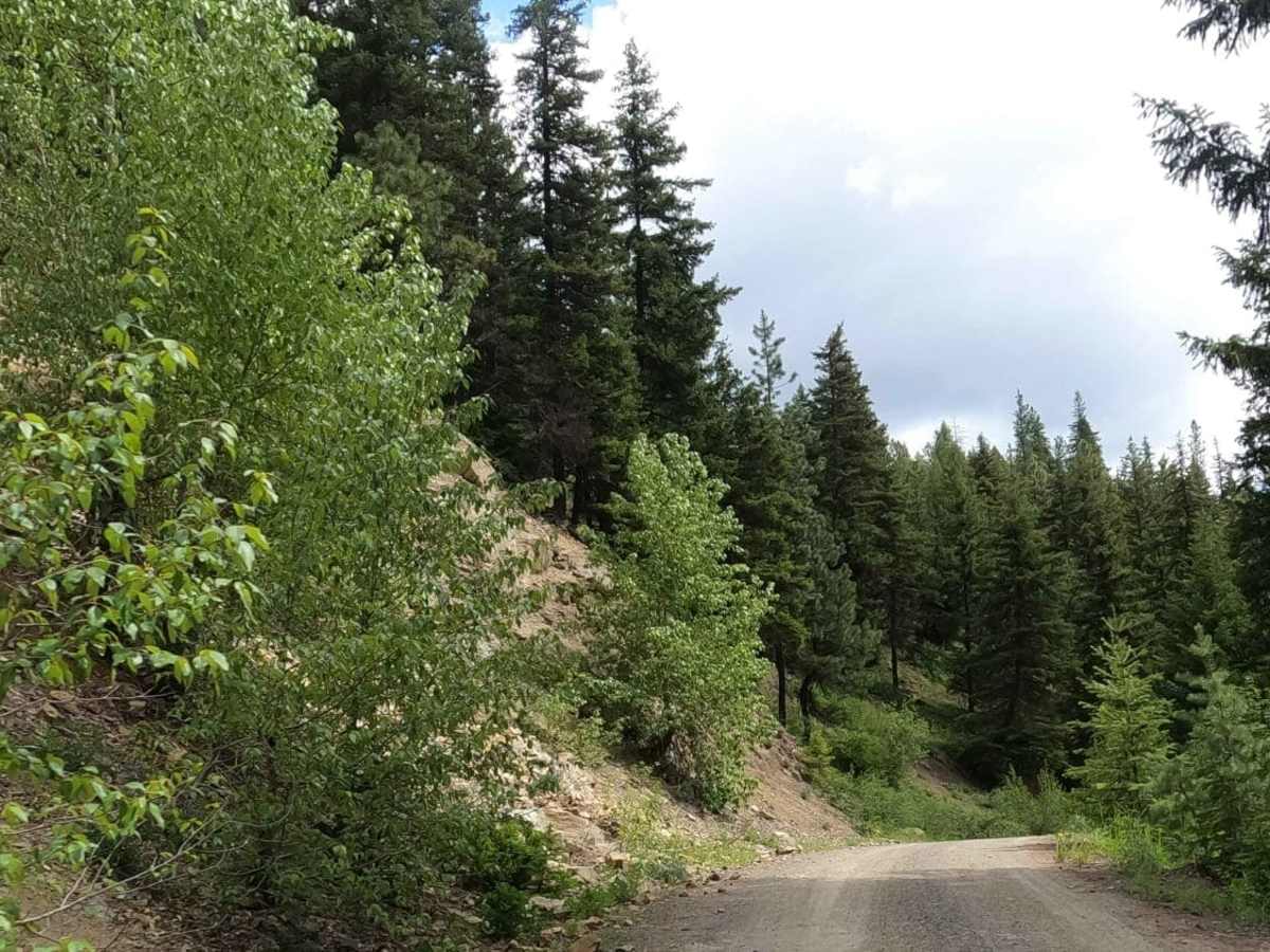
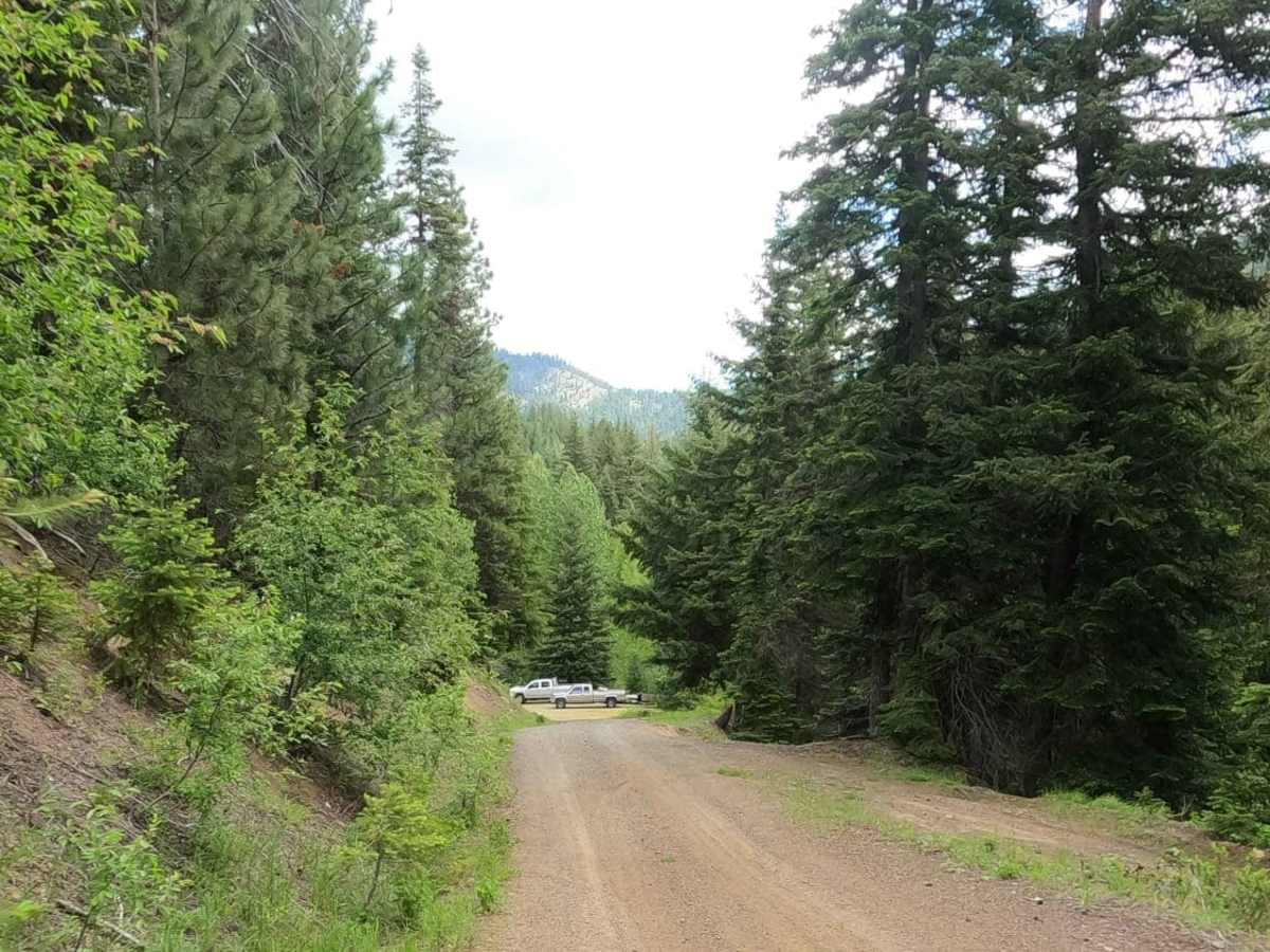
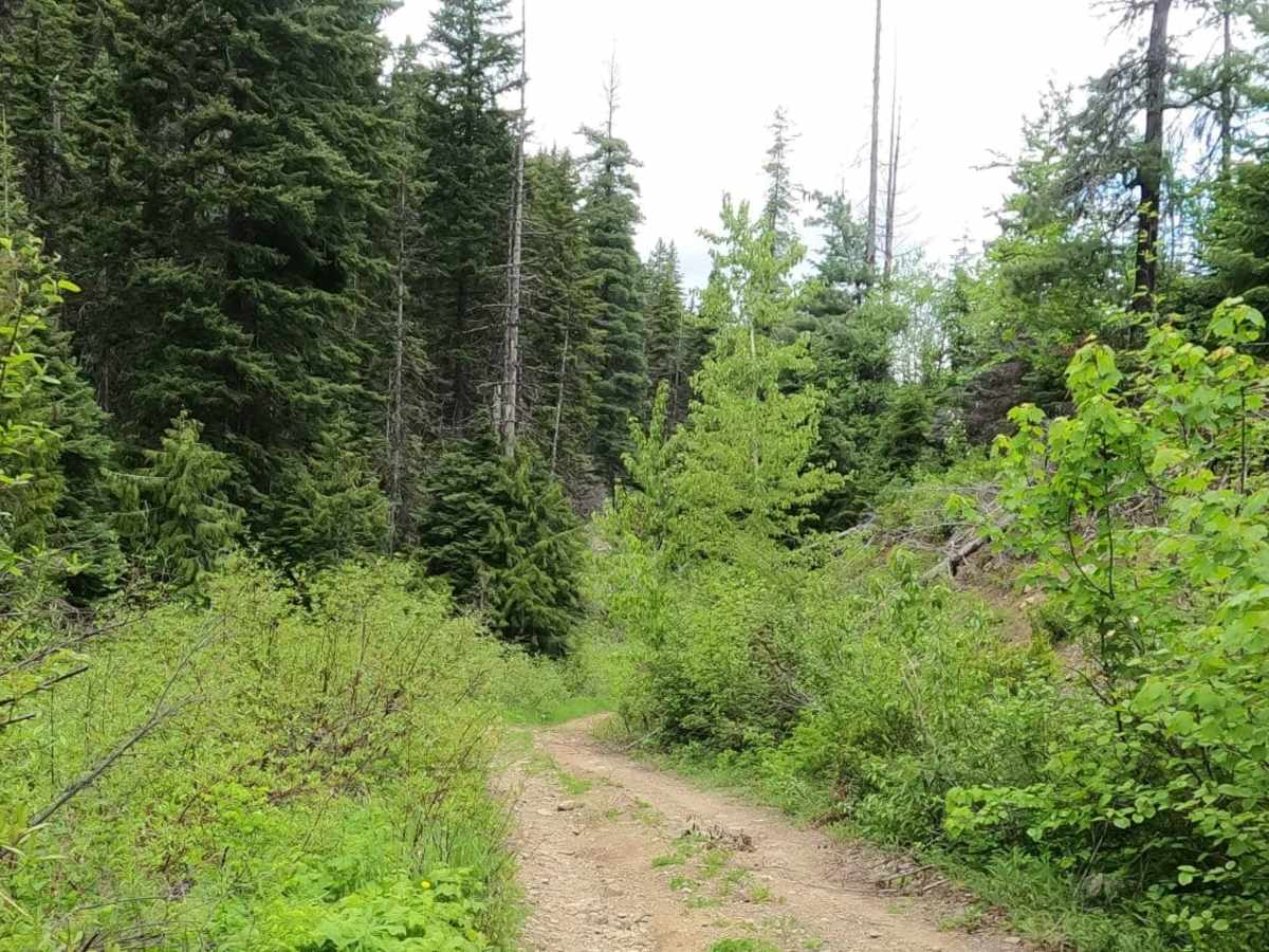
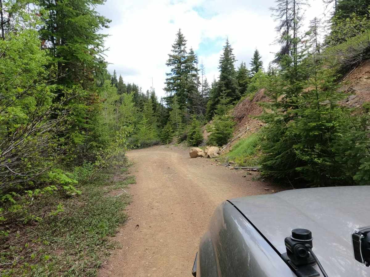
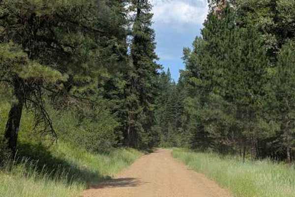
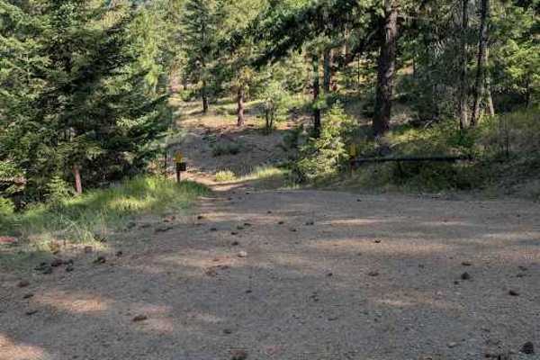
NF7322-200 is an ideal route for offroaders seeking a quiet, scenic journey through the Wenatchee National Forest, offering a tight, unmaintained pathway along the flanks of the Enchantment Mountains. Stretching nearly four miles, this forest road provides a moderately easy but engaging drive suitable for high-clearance four-wheel-drive vehicles, SUVs, and SxSs. The trail transitions from an elevation of approximately 2,590 feet at its lower end to about 4,144 feet near the top, making for a steady climb or descent with a net elevation change of over 1,500 feet. Drivers will experience a primarily rocky and unpaved surface that winds through a dense canopy of shade while following a scenic creek drainage.
This unmaintained route connects Old Blewett Pass—a narrow, paved, one-lane road—to the Iron Creek - Blewett Pass Tie Road (NF9714-113), allowing for seamless exploration of the surrounding trail network. Due to the high-elevation terrain near the summit, snow often blocks the upper sections of the road until early June, making summer and early fall the best times to visit. Visitors should stay on the designated trail, as the surrounding area is dotted with private mining claims. Whether navigating the minor rocky obstacles or enjoying the peaceful forest canopy, this route delivers a classic Pacific Northwest offroad experience.
Access Description
High-clearance four-wheel-drive vehicles, SUVs, and SxSs are recommended for this tight, rocky, and unmaintained forest road. The upper elevations are typically snowbound and impassable until early June. Visitors must remain on the designated roadway to avoid trespassing on the private mining claims scattered throughout the area.